Te Awa Kairangi / Hutt River
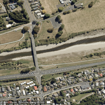
Te Awa Kairangi / Hutt River
- Boat Ramps
- 0
- Access Points
- 0
- Campsites
- 1
Te Awa Kairangi / Hutt River flows from the southern Tararua Ranges through the Hutt Valley to the Petone foreshore, where it meets Te Whanganui-a-Tara (Wellington Harbour). The river's name translates roughly as "the highly esteemed river," reflecting its long history as a valued transport route and food source for Māori since at least 1200 AD. Two million years of seismic activity along the Wellington fault line has shaped the valley and contributed to the river's powerful character.
The river offers distinctly different paddling experiences depending on the section. The Hutt Gorge in the upper reaches, within and near Kaitoke Regional Park, is suited to experienced kayakers and is used for whitewater rafting. Wellington Rafting operates commercial trips on this upper section, offering both guided raft experiences and inflatable kayak options. The gorge section is also the venue for the Hutt Valley Canoe Club's more challenging trips. Moving downstream, the river south of Birchville is considerably more forgiving and is recommended for beginner and intermediate paddlers. Good river access for this section is available at the Birchville and Totara Park bridges. The rapids upstream of the Whakatīkei River confluence are a popular challenge for kayakers, while Taita Rock, north of Fraser Park, is a noted launching area for rafters.
the weir at Silverstream can be dangerous in high flows, and willows lining the riverbanks pose a hazard to rafters. Paddlers are advised to wear a helmet and flotation vest at all times and to go with a companion.
The Hutt Valley Canoe Club runs regular trips on both the gorge and the Birchville section, as well as beginner courses on Wednesday evenings near Birchville once daylight saving begins in spring. The club maintains clubrooms and has kayaks and gear available for hire, including a full-size raft and two-person inflatable kayaks.
The river corridor retains considerable natural character, with native forest visible as a backdrop in several reaches. The 29-kilometre Hutt River Trail runs alongside the river from Petone to Te Marua, providing easy access to the water at multiple points and offering context for paddlers scouting sections or planning shuttle logistics.
Water access, boat ramps & amenities
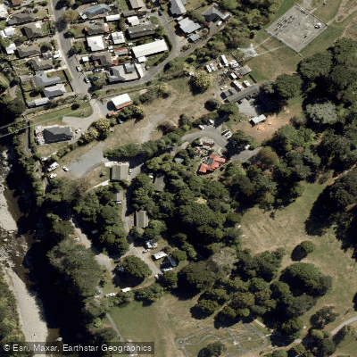
Learn how to get on Te Awa Kairangi / Hutt River. Uncover great paddling access points, boat ramps, and all the facilities you need for an unforgettable day on the water. Some locations shown may border or include private property. Always check property boundaries and applicable regulations before visiting. PaddleWays's Public & Private Land layer can help you plan your access with confidence.
Paddle smarter with real-time insights
Whether you're en route and conditions shift or you're looking for the best spot based on current flows, we enable you to make informed decisions on the fly.







Wellington licenses and regulations
No licenses or regulations available for Wellington.
Find Places to Paddle

Over 400,000 Places to Paddle
Every user gets free access to launch points, boat ramps, and public property parcels.


Water and weather conditions (10 day forecast)
See the best times to paddle Te Awa Kairangi / Hutt River and check the forecast before you go.
Hutt River at Birchville
All Flow Stations
Paddling near Te Awa Kairangi / Hutt River
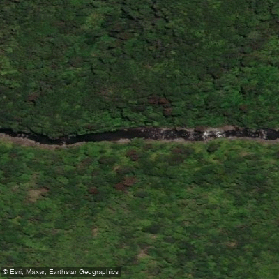
Tauwharenīkau River
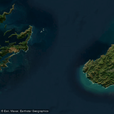
Te Moana-o-Raukawa / Cook Strait
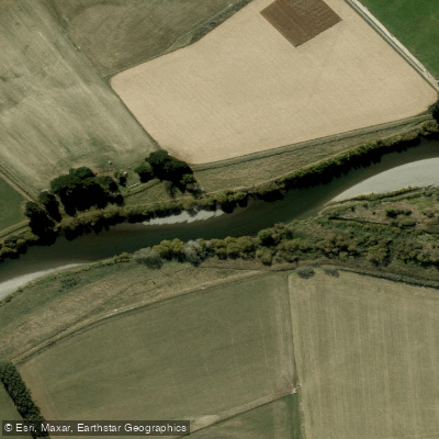
Ruamahanga River
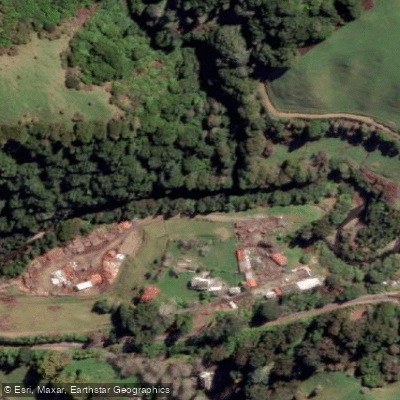
Waikanae River
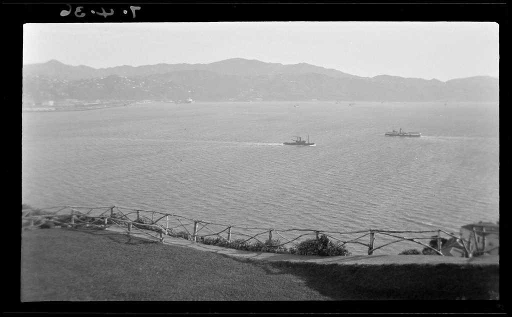
Wellington Harbour / Port Nicholson
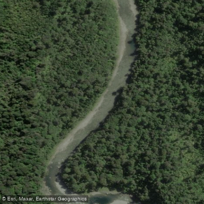
Waiohine River
Ōtaki River
Palliser Bay
Akatarawa River
Explore Wellington waters
Top paddling waters
No waters available right now.
Popular Cities
Loading popular cities...
Explore near Te Awa Kairangi / Hutt River

Smarter Paddling Starts in the App.
Paddleways gives you everything you need to plan smarter, paddle better, and own every trip from first launch to takeout.