Arahura River
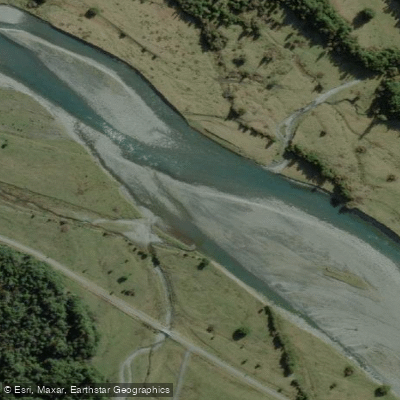
Arahura River
- Boat Ramps
- 0
- Access Points
- 0
- Campsites
- 0
The Arahura River rises in the Southern Alps at Browning Pass and flows west, then north, then west again across the Westland lowland before reaching the sea approximately 5 miles north of Hokitika on New Zealand's West Coast. The river is roughly 35 miles in length, with major mountain tributaries including the Harman River, Newton Creek, Olderog Creek, and Wainihinihi River.
The river offers two very different paddling experiences depending on which section is attempted. The lower Milltown Gorge section is accessible by road at both ends, with a put-in anywhere along Milltown Road from Lake Kaniere and a take-out at Arahura Valley Road. This section begins with easy shallow braids and Grade II shingle chutes before the valley closes in at the Milltown Gorge, where bedrock banks and large boulders create occasional Grade III features, though the run is generally rated Grade II overall. Deep clear pools, well-spaced rapids, and native forest above high banks characterize this stretch. It is popular with kayakers and rafters and is suitable for intermediate paddlers, though not recommended as a first-time run. The run takes approximately four hours if both the Milltown Gorge and lower sections are combined.
The upper wilderness sections are a different proposition entirely. Access requires a helicopter, and the standard run is approximately 8.3 miles at Class IV to V difficulty, with a gradient reaching up to 212 feet per mile through the Cesspool Gorge. The crux is Cesspool, a waterfall into a heavily aerated pool with dangerous sieves below, which is typically portaged. The canyon below Cesspool is considered one of the more striking features on the run. The upper sections demand the ability to catch eddies quickly and make rapid decisions, as scouting is difficult in certain spots. Flows between roughly 500 and 1,500 cfs at the take-out are considered runnable, and the season is year-round following rain, with an early start recommended in winter. Anyone considering the upper run is strongly advised to go with someone who has prior knowledge of the access and the rapids.
The Arahura holds significant cultural importance to Ngāi Tahu as a source of pounamu (greenstone), and portions of the upper river fall within the Waitaiki Historic Reserve, managed jointly by a Ngāi Tahu commercial entity and the Department of Conservation. Access for kayakers to certain upper gorge sections has historically been restricted, and paddlers should verify current access permissions before planning a trip.
Water access, boat ramps & amenities
Learn how to get on Arahura River. Uncover great paddling access points, boat ramps, and all the facilities you need for an unforgettable day on the water. Some locations shown may border or include private property. Always check property boundaries and applicable regulations before visiting. PaddleWays's Public & Private Land layer can help you plan your access with confidence.
Paddle smarter with real-time insights
Whether you're en route and conditions shift or you're looking for the best spot based on current flows, we enable you to make informed decisions on the fly.







West Coast licenses and regulations
No licenses or regulations available for West Coast.
Find Places to Paddle

Over 400,000 Places to Paddle
Every user gets free access to launch points, boat ramps, and public property parcels.


Water and weather conditions (10 day forecast)
See the best times to paddle Arahura River and check the forecast before you go.
No forecast data available.
Paddling near Arahura River
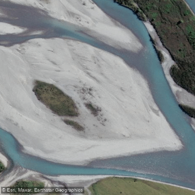
Hokitika River
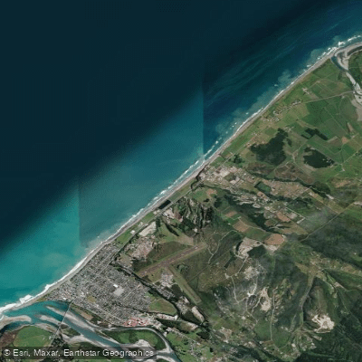
Hokitika Beach
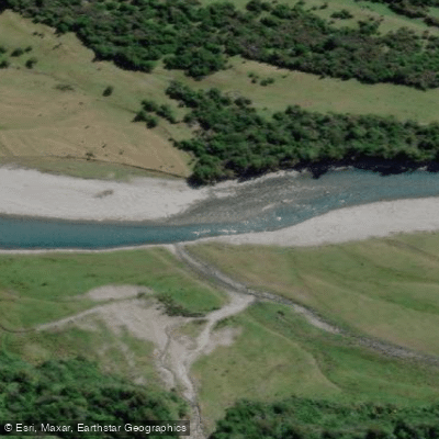
Kokatahi River
Toaroha River
South Beach
Taipo River
Mikonui River
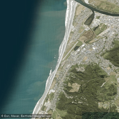
Kararo Beach
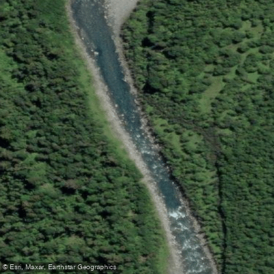
Waitaha River
Explore West Coast waters
Top paddling waters
No waters available right now.
Popular Cities
Loading popular cities...
Explore near Arahura River

Smarter Paddling Starts in the App.
Paddleways gives you everything you need to plan smarter, paddle better, and own every trip from first launch to takeout.