Hokitika River
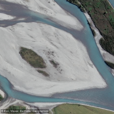
Hokitika River
- Boat Ramps
- 0
- Access Points
- 0
- Campsites
- 0
The Hokitika River runs through the West Coast of New Zealand's South Island, with the gorge area located approximately a 30-minute drive from Hokitika township. The river offers a wide range of paddling experiences across its different sections, from beginner-friendly flatwater to committing expert whitewater, making it a destination that attracts paddlers of varying skill levels.
The lower gorge section runs at Class I–II and is suitable for beginners, offering accessible paddling through scenery characterized by turquoise water, native bush, and granite canyon walls. An overnight trip to Rapid Creek Hut provides a Class II–II+ experience. Further upstream, the character of the river changes dramatically. The Upper Hokitika is a technical, low-volume whitewater river rated Class IV, featuring tight drops, sieves, and deep, committing gorges. This section is recommended only for experienced paddlers with strong self-rescue skills and a capable team. The gorge's steep, locked-in nature means that not all rapids offer safe rescue or portage options, and the standard approach involves one paddler running a rapid and eddying out below before the next follows.
Beyond the upper section lies Frisco Canyon, described as one of the most technically demanding and committing stretches of whitewater accessible in the region, featuring sustained Class V whitewater. The Serpentine Hut, positioned at the confluence with Serpentine Creek, serves as a notable landmark and safety reference point along this remote stretch, though its long-term availability is uncertain as erosion has been affecting the site and DOC has ceased maintenance.
Access to the river's various sections typically involves the Kaniere-Kowhitirangi Road heading up from Hokitika. The river's turquoise coloration is a defining visual characteristic throughout much of its length, a result of glacial flour suspended in the water. The combination of remote gorge terrain, demanding whitewater in the upper reaches, and the potential for multi-day wilderness travel means that paddlers venturing beyond the lower sections should be well-prepared for self-sufficient travel in a committing environment.
Water access, boat ramps & amenities
Learn how to get on Hokitika River. Uncover great paddling access points, boat ramps, and all the facilities you need for an unforgettable day on the water. Some locations shown may border or include private property. Always check property boundaries and applicable regulations before visiting. PaddleWays's Public & Private Land layer can help you plan your access with confidence.
Paddle smarter with real-time insights
Whether you're en route and conditions shift or you're looking for the best spot based on current flows, we enable you to make informed decisions on the fly.







West Coast licenses and regulations
No licenses or regulations available for West Coast.
Find Places to Paddle

Over 400,000 Places to Paddle
Every user gets free access to launch points, boat ramps, and public property parcels.


Water and weather conditions (10 day forecast)
See the best times to paddle Hokitika River and check the forecast before you go.
Hokitika Rv @ Gorge
Paddling near Hokitika River
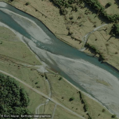
Arahura River
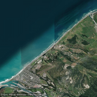
Hokitika Beach
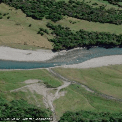
Kokatahi River
Toaroha River
South Beach
Taipo River
Mikonui River
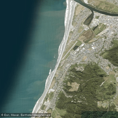
Kararo Beach
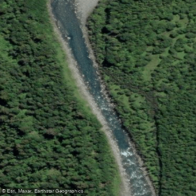
Waitaha River
Explore West Coast waters
Top paddling waters
No waters available right now.
Popular Cities
Loading popular cities...
Explore near Hokitika River

Smarter Paddling Starts in the App.
Paddleways gives you everything you need to plan smarter, paddle better, and own every trip from first launch to takeout.