Taipo River
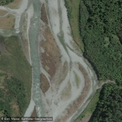
Taipo River
- Boat Ramps
- 0
- Access Points
- 0
- Campsites
- 0
The Taipo River is a West Coast run located just west of Arthur's Pass National Park, accessed via State Highway 73. The river is structured in tiers of increasing difficulty as one travels upstream: roughly Class I an hour above the lowest hut, Class II at two hours, Class III at three hours, and Class IV at four hours. The 13 kilometers below Mid-Taipo Hut have been described as Class II-III, with approximately four kilometers of moderate Class IV above that point. The lower section is characterized by wide, splashy runs that funnel into steep, boulder-choked drops with breaking wave trains, while the upper section above the swing bridge near Mid-Taipo Hut offers a fast and twisting roller coaster through smooth granite boulders. The gorge section near the highway bridge is particularly striking.
Access into the Taipo Valley is via a rough gravel track from SH73, beginning opposite the first farmhouse on the left after crossing the Taipo River Bridge when driving toward Otira. A carpark suitable for 2WD vehicles is available adjacent to SH73. Four-wheel-drive vehicles can continue further to the Taipo River itself, though the river at that point is deep and swift and should not be crossed even by experienced 4WD drivers. A marked trail follows the river past a series of huts — the lowest hut serves as a practical base camp, with Mid-Taipo Hut reachable in roughly two to three hours from there via a swing bridge crossing to the true right bank.
The river is subject to significant and frequent flooding, which can render side streams — particularly Seven-Mile Creek — impassable. The river's character changes considerably with water level; a bridge stick gauge reading of 2 is suggested as the minimum recommended flow, with the section below Dillon's Hut running mostly Grade II+ with a few Grade III moves at lower flows. The gorge at the lower end is a notable feature of the run.
Sandflies are present in the valley, particularly around the upper huts. Winter and early spring travel in the area carries avalanche risk in the side streams of Mary Creek. The valley terrain alternates between open river flats and tighter gorge sections, with the river braiding around islands in flatter stretches before steepening again.
Water access, boat ramps & amenities
Learn how to get on Taipo River. Uncover great paddling access points, boat ramps, and all the facilities you need for an unforgettable day on the water. Some locations shown may border or include private property. Always check property boundaries and applicable regulations before visiting. PaddleWays's Public & Private Land layer can help you plan your access with confidence.
Paddle smarter with real-time insights
Whether you're en route and conditions shift or you're looking for the best spot based on current flows, we enable you to make informed decisions on the fly.







West Coast licenses and regulations
No licenses or regulations available for West Coast.
Find Places to Paddle

Over 400,000 Places to Paddle
Every user gets free access to launch points, boat ramps, and public property parcels.


Water and weather conditions (10 day forecast)
See the best times to paddle Taipo River and check the forecast before you go.
No forecast data available.
Paddling near Taipo River
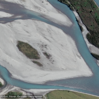
Hokitika River
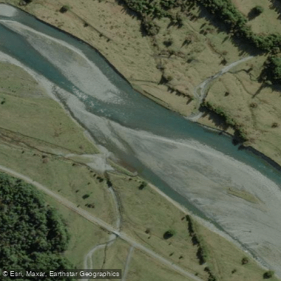
Arahura River
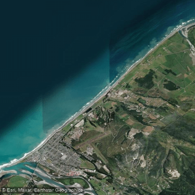
Hokitika Beach
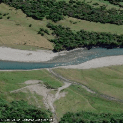
Kokatahi River
Toaroha River
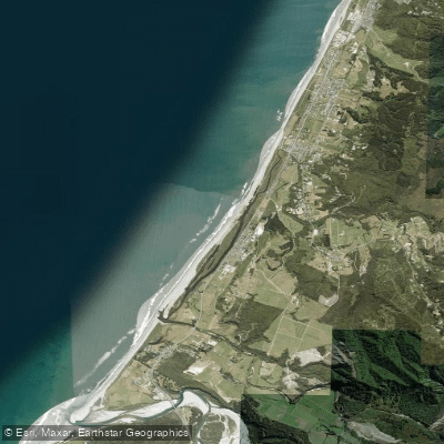
South Beach
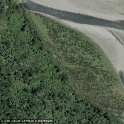
Mikonui River
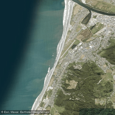
Kararo Beach
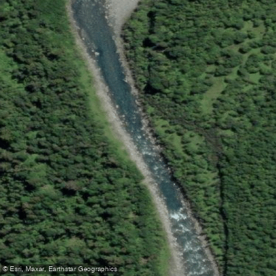
Waitaha River
Explore West Coast waters
Top paddling waters
No waters available right now.
Popular Cities
Loading popular cities...
Explore near Taipo River

Smarter Paddling Starts in the App.
Paddleways gives you everything you need to plan smarter, paddle better, and own every trip from first launch to takeout.