Mikonui River
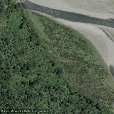
Mikonui River
- Boat Ramps
- 0
- Access Points
- 0
- Campsites
- 0
The Mikonui River is located on the west coast of New Zealand's South Island, just south of Ross. Its headwaters originate in the Southern Alps, and it flows northwest into the Tasman Sea. The river runs through heavily forested, mountainous terrain — one of the wettest parts of the country — passing through rain-forested gorges with views of the Southern Alps.
The standard packrafting and kayaking run is rated Grade II, with one portage-able Grade III rapid under normal flows. At higher flows, when the river is turbulent and near breaching its banks, the character of the run changes significantly, becoming a high-volume Grade III paddle with large waves and substantial holes. The put-in coordinates are approximately -43.000710, 170.857945, accessed via Totara Valley Road, where paddlers walk across the river flats to the main channel. The take-out is near -42.908706, 170.768858. The trip can be extended by walking approximately 3 km further upstream to Mikonui Flat Hut, making it a straightforward overnighter. The river above the hut has also been packrafted, though that upper section is considered a more serious undertaking.
Red Granite Creek's waterfalls, visible on river left near the start of the run, are a notable feature worth pausing to observe. The lower reaches of the river are accessible from the SH6 road bridge, which also serves as the visual gauge point for assessing flow conditions before committing to the run.
The Mikonui has a smaller catchment than many other West Coast rivers, which means it rises and drops relatively quickly after rainfall. This makes it a viable option following heavy rain when larger rivers remain too high, though road access to the put-in can be difficult in such conditions. The flow range listed for the standard beginner-friendly run is any level short of flooding, and the run is considered suitable for first-time whitewater paddlers under appropriate conditions. As with all New Zealand rivers, flows can fluctuate dramatically over short periods, and paddlers should avoid the river when it is running brown or murky.
The SH6 bridge provides easy access to the tidal lower reaches, which are also used by anglers targeting trout and salmon.
Water access, boat ramps & amenities
Learn how to get on Mikonui River. Uncover great paddling access points, boat ramps, and all the facilities you need for an unforgettable day on the water. Some locations shown may border or include private property. Always check property boundaries and applicable regulations before visiting. PaddleWays's Public & Private Land layer can help you plan your access with confidence.
Paddle smarter with real-time insights
Whether you're en route and conditions shift or you're looking for the best spot based on current flows, we enable you to make informed decisions on the fly.







West Coast licenses and regulations
No licenses or regulations available for West Coast.
Find Places to Paddle

Over 400,000 Places to Paddle
Every user gets free access to launch points, boat ramps, and public property parcels.


Water and weather conditions (10 day forecast)
See the best times to paddle Mikonui River and check the forecast before you go.
No forecast data available.
Paddling near Mikonui River
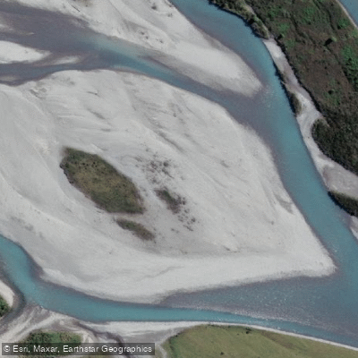
Hokitika River
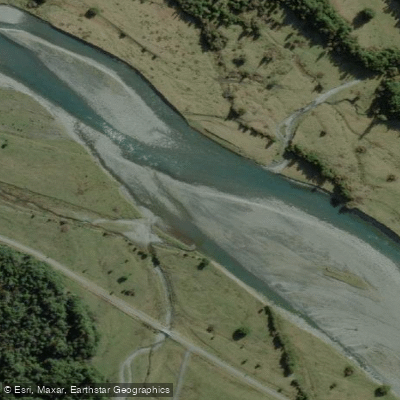
Arahura River
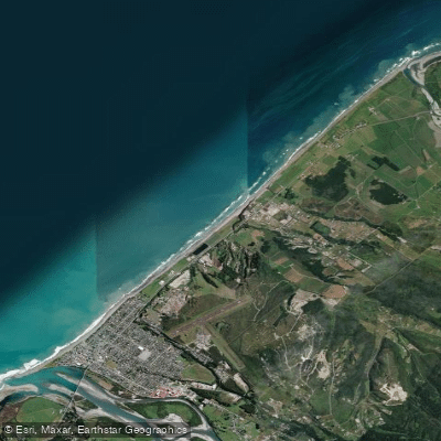
Hokitika Beach
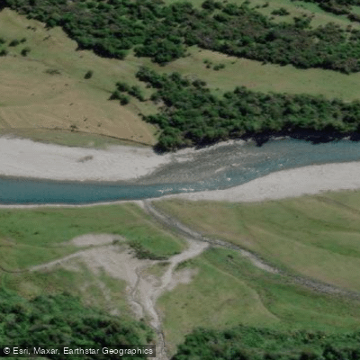
Kokatahi River
Toaroha River
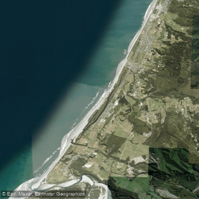
South Beach
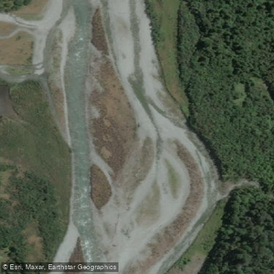
Taipo River
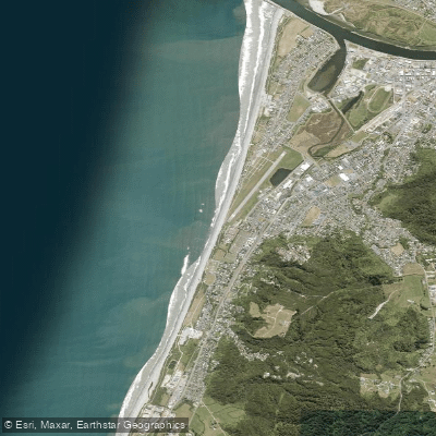
Kararo Beach
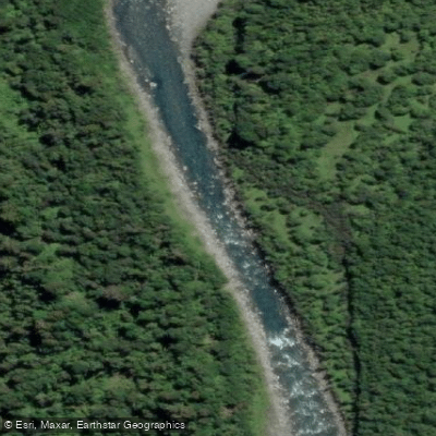
Waitaha River
Explore West Coast waters
Top paddling waters
No waters available right now.
Popular Cities
Loading popular cities...
Explore near Mikonui River

Smarter Paddling Starts in the App.
Paddleways gives you everything you need to plan smarter, paddle better, and own every trip from first launch to takeout.