Toaroha River
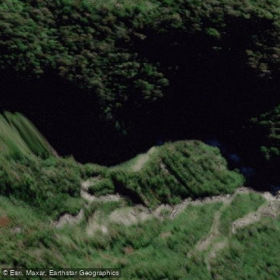
Toaroha River
- Boat Ramps
- 0
- Access Points
- 0
- Campsites
- 0
The Toaroha River on New Zealand's South Island West Coast is a well-regarded whitewater destination, offering two distinct paddling experiences: the lower gorge section below the Toaroha Canyon, and the more committing Toaroha Canyon itself. The lower section runs at Class III to IV (with IV+ consequences), covering roughly 1.55 to 1.95 miles depending on access conditions, at an average gradient of 86 feet per mile. Hard-shell kayakers have paddled the river from as far up as the Top Toaroha Hut.
The lower section features a mix of boulder and bedrock-style rapids, with the majority falling in the Grade III to IV range. The bedrock is sharp, fractured greywacke, which poses a particular risk to packrafts and lighter craft. Several rapids present objective hazards in the form of siphons and sieves, requiring careful scouting and strong rescue capability. Teams must be prepared to manage or prevent capsizes at multiple critical points. Carrying at least one solid repair kit is strongly advised. The run is described as a hike-in, paddle-back trip, making it manageable with a single vehicle.
Access to the put-in begins from a carpark reached via Kaniere-Kowhitirangi Road out of Hokitika, then Upper Kokatahi Road for approximately 11.1 km, crossing the Styx River before turning onto Middlebranch Road for 2.3 km to a farmland carpark. From the carpark, DOC orange triangles mark the access track, which passes through farm paddocks before entering native forest. The well-maintained benched track includes elevated marsh crossings and leads to an open section of the river valley serving as the lower gorge put-in. The hike typically takes around 50 minutes, or about 30 minutes if the farm gate is unlocked. Note that access from the river to the track via Papauma Stream is legal walking access; other exits cross private Sheridan Farms land.
The river holds water well after rain and can be paddled year-round, though flows are visually assessed. A workable range starts around 700 cfs on the lower section. The Toaroha Canyon, a more recently explored section upstream, is a committing objective that has attracted experienced local and visiting kayakers. The canyon section requires additional approach time, with the flood route exit adding roughly two hours of hiking.
Water access, boat ramps & amenities
Learn how to get on Toaroha River. Uncover great paddling access points, boat ramps, and all the facilities you need for an unforgettable day on the water. Some locations shown may border or include private property. Always check property boundaries and applicable regulations before visiting. PaddleWays's Public & Private Land layer can help you plan your access with confidence.
Paddle smarter with real-time insights
Whether you're en route and conditions shift or you're looking for the best spot based on current flows, we enable you to make informed decisions on the fly.







West Coast licenses and regulations
No licenses or regulations available for West Coast.
Find Places to Paddle

Over 400,000 Places to Paddle
Every user gets free access to launch points, boat ramps, and public property parcels.


Water and weather conditions (10 day forecast)
See the best times to paddle Toaroha River and check the forecast before you go.
No forecast data available.
Paddling near Toaroha River
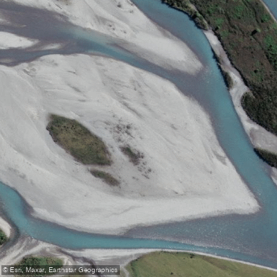
Hokitika River
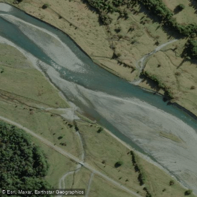
Arahura River
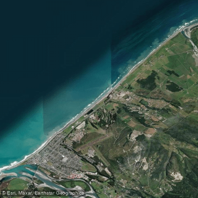
Hokitika Beach
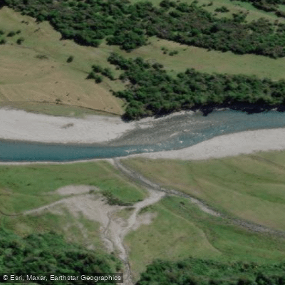
Kokatahi River
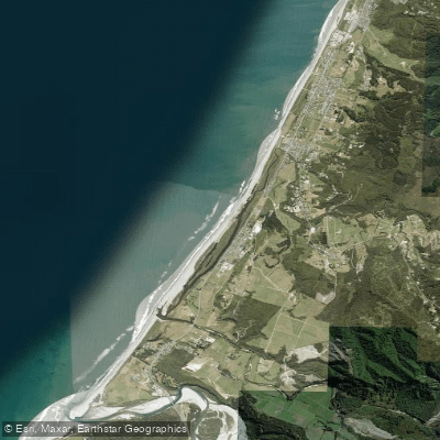
South Beach
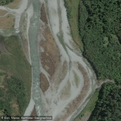
Taipo River
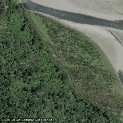
Mikonui River
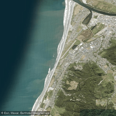
Kararo Beach
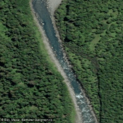
Waitaha River
Explore West Coast waters
Top paddling waters
No waters available right now.
Popular Cities
Loading popular cities...
Explore near Toaroha River

Smarter Paddling Starts in the App.
Paddleways gives you everything you need to plan smarter, paddle better, and own every trip from first launch to takeout.