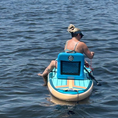
Jessica H.
SUP •
361 cfs at Marlow
Curated by PaddleWays
5.7 mi flatwater route on the Fish River in Alabama
Level right now
Route facts
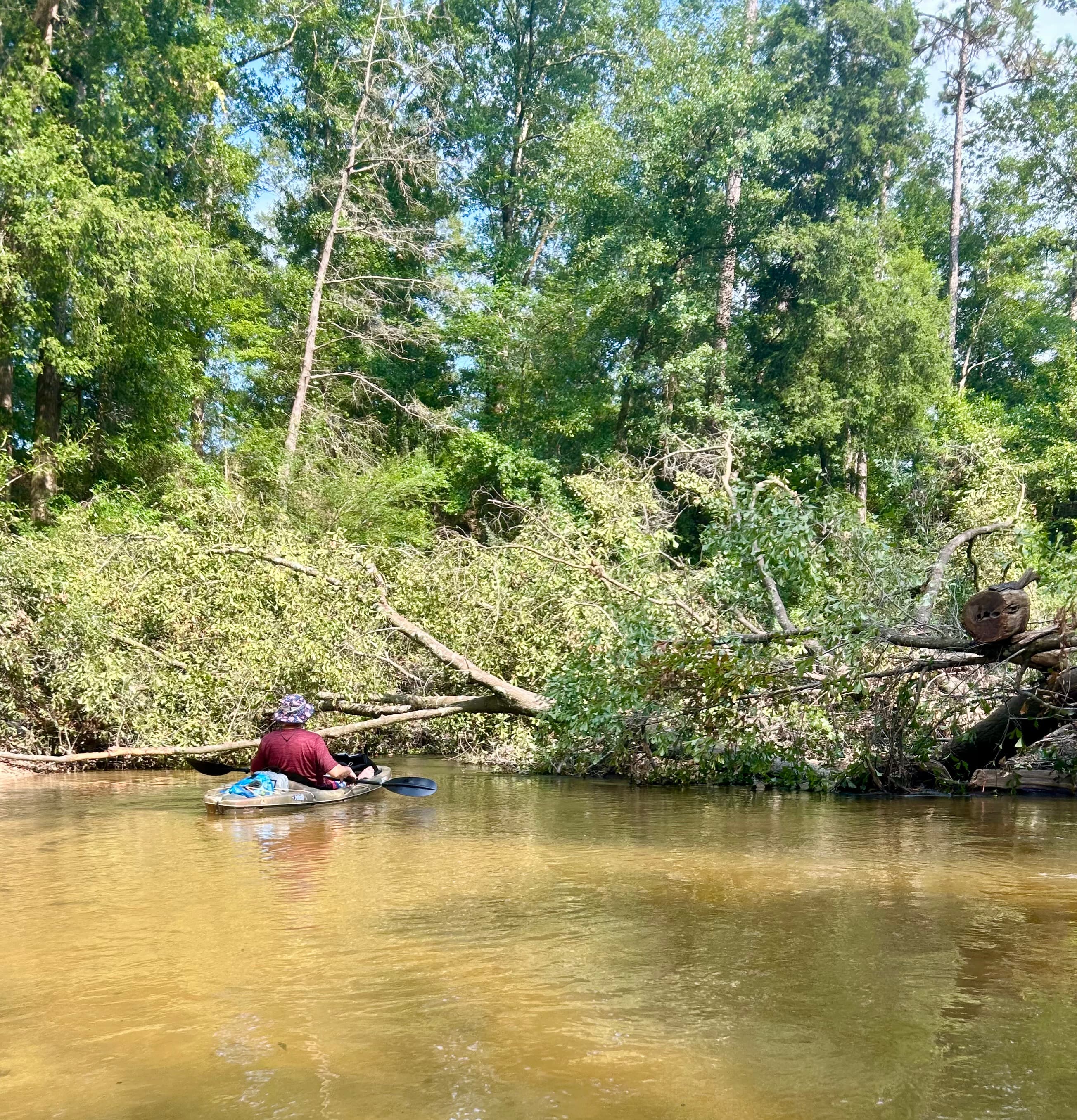
Two large log jams below Bohemian Park
About this route
The Bohemian Park to Marlow Ferry section of Fish River in Alabama is a pleasant, easy-going paddle suitable for kayakers of various skill levels.
The run begins at Bohemian Park and ends at the Marlow Ferry public launch, covering a distance of 5.7 miles according to GPS measurements.
Paddlers can expect to complete this stretch in approximately 2.5 hours at a normal pace, though some groups may take up to 4 hours with a more leisurely approach and a few stops along the way.
The water level is typically normal, and paddlers don't need to exit their boats during this trip. The first two grids below Bohemian Park are dominated by two large log jams, which paddlers should be aware of and navigate carefully.
Put-in and take-out
Put-in
Take-out
Hazards
Reported by paddlers. Hazards change with flows and storms, so check them before you launch.
DamFairhope
No details were given with this report.
DamFairhope
No details were given with this report.
DamFairhope
No details were given with this report.
From the community
Real trips from PaddleWays paddlers who ran this route: how the flows were, and what to watch for.
Loading trip reports
Jessica H.
SUP •
361 cfs at Marlow
Jessica H.
SUP •
290 cfs at Marlow
DO NOT launch at Bohemian Park. Large trees down blocking passage in several locations. Do not enter until Boones Ferry to go South.
The gauges near Bohemian Park to Marlow Ferry and the forecast where it starts, so you can pick your day.
No forecast data available.
Same water
The other curated routes on the Fish River, each with how it is running now.
RouteFlatwater
Close by
Curated routes on other waters within an hour or so, nearest first.
on Perdido River · 25 mi away
RouteFlatwater
on Perdido River · 26 mi away
RouteFlatwater
on Perdido River · 26 mi away
RouteFlatwater
on Escambia River · 37 mi away
RouteFlatwater
on Escatawpa River · 38 mi away
RouteFlatwater
PaddleWays gives you everything you need to plan smarter, paddle better, and own every trip from first launch to takeout.
