Perdido River
Perdido River
- Boat Ramps
- 10
- Access Points
- 11
- Campsites
- 3
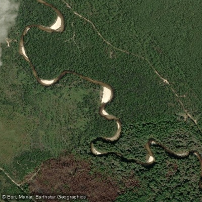
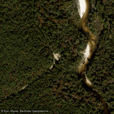
The Perdido River is a pristine blackwater river that forms the western border between Florida and Alabama, flowing approximately 44 miles from its source in southern Alabama to Perdido Bay. This scenic waterway has been designated an Outstanding Florida Water and Special Water system, offering paddlers a serene journey through the natural beauty of the western Florida Panhandle and southern Alabama. The river is characterized by its tea-colored water, numerous white sandbars, and relatively gentle current, making it an ideal destination for paddlers of all skill levels. The difficulty ranges from flatwater to occasional Class I rapids, with most sections being suitable for beginners and families.
Popular paddling sections include the Upper Perdido River Paddling Trail, a 15-mile stretch from Barrineau Park Bridge to Sand Landing, and the Alabama Perdido River Canoe Trail, a 19-mile segment in Baldwin County, Alabama. The river gradually widens and slows as it approaches Perdido Bay, with fewer sandbars in the lower sections. Access points are plentiful, with notable put-ins including Barrineau Park Bridge, Fillingim Landing, and Gravel Landing. Take-outs include Sand Landing, The Pipes Landing, and the Wilson B. Robertson Boat Launch at the US 90 bridge. The towns of Cantonment, FL and Robertsdale, AL serve as nearby bases for river trips.
The Perdido River's ecosystem supports a diverse array of flora and fauna typical of southeastern blackwater rivers. Paddlers may encounter various bird species, fish, and possibly alligators. The river corridor is lined with cypress, tupelo, and various hardwood trees, creating a lush, green canopy.
For multi-day adventures, the Alabama State Lands Division offers six reservable camping shelters along their 19-mile canoe trail. Primitive camping is also allowed on sandbars at designated spots, providing opportunities for extended river exploration. Paddlers should be aware of potential logjams in some upper sections and should check water levels before trips. The best paddling times are typically spring through fall, with summer offering warm waters ideal for swimming at the numerous sandbars.
The Perdido River holds historical significance as a natural border between Spanish Florida and French Louisiana in colonial times. Today, it serves as an important recreational resource and a vital part of the region's ecosystem. When planning a trip, be mindful of local regulations, such as those at Fillingim Landing prohibiting alcohol and motorized boat launching. Always practice Leave No Trace principles to help preserve the river's natural beauty for future generations.
Water access, boat ramps & amenities
Learn how to get on Perdido River. Uncover great paddling access points, boat ramps, and all the facilities you need for an unforgettable day on the water. Some locations shown may border or include private property. Always check property boundaries and applicable regulations before visiting. PaddleWays's Public & Private Land layer can help you plan your access with confidence.
Paddle smarter with real-time insights
Whether you're en route and conditions shift or you're looking for the best spot based on current flows, we enable you to make informed decisions on the fly.








Find Places to Paddle

Over 400,000 Places to Paddle
Every user gets free access to launch points, boat ramps, and public property parcels.


Water and weather conditions (10 day forecast)
See the best times to paddle Perdido River and check the forecast before you go.
PERDIDO RIVER AT BARRINEAU PARK, FL
Paddling near Perdido River
Tombigbee River
Mobile Bay

Pascagoula River
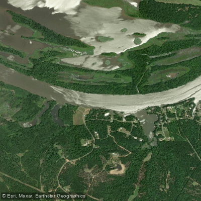
Alabama River
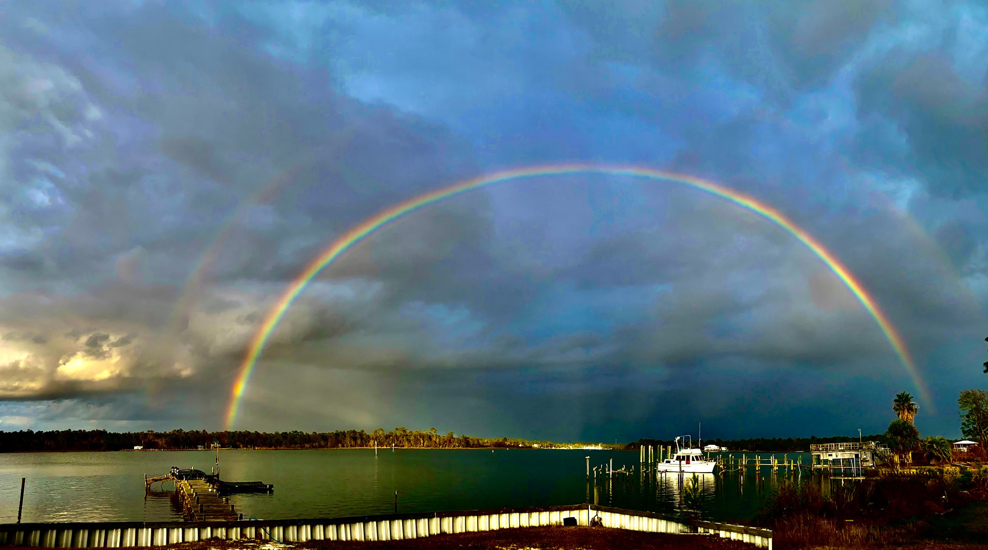
Bon Secour Bay
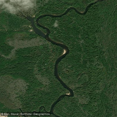
Escambia River
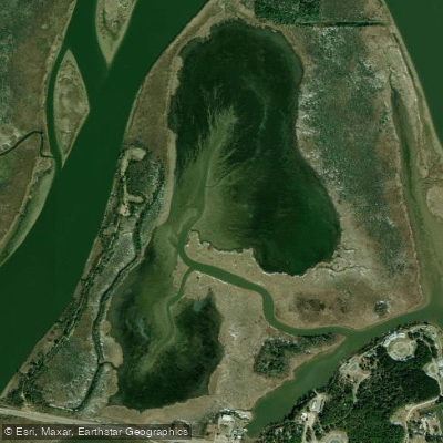
Justins Bay
Ducker Bay
Briar Lake
Explore Alabama waters
Top paddling waters
Popular Cities
Loading popular cities...
Explore near Perdido River
Access points
- The Pipes Canoe Launch
- Fillingim Landing Canoe Launch
- Sand Landing - Perdido River (Small Boats)
- Wilson B. Robertson Boat Ramp
- Adventures Perdido River (Call Ahead 850-968-5529)
- Wilson B. Robertson Park Canoe Launch
- Otto Hill Camp Site (Available by Reservation Only)
- Alabama - Gravel Landing Canoe Launch
- Ruby's Fish Camp Boat Ramp
- Ruby's Fish Camp
- Perdido Park Access
- Perdido River Bridge
- All 81 spots
Nearby waters
More in Alabama

Smarter Paddling Starts in the App.
Paddleways gives you everything you need to plan smarter, paddle better, and own every trip from first launch to takeout.