Escambia River
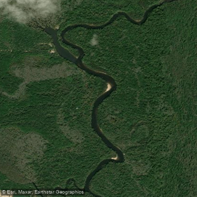
Escambia River
- Boat Ramps
- 4
- Access Points
- 5
- Campsites
- 5
The Escambia River is a major waterway in northwest Florida, originating at the confluence of the Conecuh River and Escambia Creek at the Florida-Alabama state line. It flows south for approximately 92 miles before emptying into Pensacola Bay. As Florida's fourth-largest river by volume, the Escambia drains a watershed of about 4,233 square miles.
Paddlers can enjoy a variety of experiences on the Escambia, from serene flatwater stretches to more challenging sections with minor rapids. The upper river, from the state line to Quintette Landing, offers numerous sandbars ideal for camping and breaks. This section can range from flatwater to Class II depending on water levels. The middle and lower sections are primarily flatwater, winding through the Escambia River State Wildlife Management Area and offering scenic views of cypress swamps and hardwood forests.
The river is suitable for paddlers of various skill levels, though some sections may require more experience, especially during high or low water periods. Spring and fall generally offer the best paddling conditions, with comfortable temperatures and moderate water levels. Summer can be hot and humid, while winter may see cooler temperatures and higher water levels.
The Escambia River boasts incredible biodiversity, hosting the richest assemblage of native North American freshwater fish of any Florida river, with 85 native species. Paddlers may encounter a variety of wildlife, including alligators, turtles, and numerous bird species.
Key landmarks include the historic town of Century near the river's origin, the Escambia River Electric Generating Plant, and the expansive delta where the river meets Pensacola Bay. The river also passes through several conservation areas, offering pristine natural scenery. Popular access points include McDavid Park, Williams Lake Boat Ramp, Cotton Lake Landing, Molino Ramp, and Quintette Landing. These are accessible from nearby towns such as Century, Molino, and Cantonment.
The Escambia River holds significant historical and cultural importance, having been used for centuries by Native American tribes and later playing a crucial role in the region's logging industry. Today, it remains an important resource for recreation, wildlife, and local communities.
Safety considerations include being aware of water levels, watching for submerged obstacles, and respecting private property along the banks. Paddlers should also be prepared for limited cell phone coverage in some areas.
For those seeking a multi-day adventure, the Escambia offers excellent opportunities. A popular trip covers about 54 miles from the state line to Quintette Landing, typically taking 3-4 days. This journey showcases the river's diverse landscapes and provides ample camping opportunities on sandbars and designated sites.
Water access, boat ramps & amenities
Learn how to get on Escambia River. Uncover great paddling access points, boat ramps, and all the facilities you need for an unforgettable day on the water. Some locations shown may border or include private property. Always check property boundaries and applicable regulations before visiting. PaddleWays's Public & Private Land layer can help you plan your access with confidence.
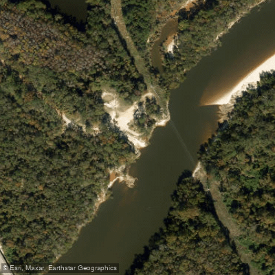
Paddle smarter with real-time insights
Whether you're en route and conditions shift or you're looking for the best spot based on current flows, we enable you to make informed decisions on the fly.








Find Places to Paddle

Over 400,000 Places to Paddle
Every user gets free access to launch points, boat ramps, and public property parcels.


Water and weather conditions (10 day forecast)
See the best times to paddle Escambia River and check the forecast before you go.
ESCAMBIA RIVER NEAR CENTURY, FL
All Flow Stations
Paddling near Escambia River
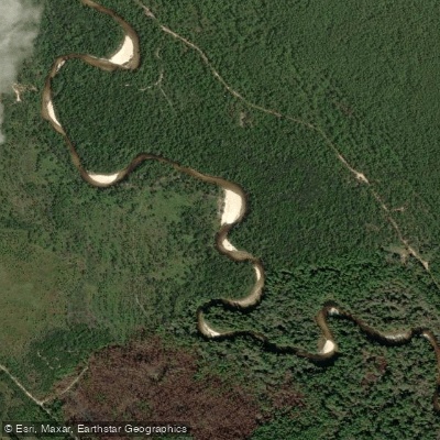
Perdido River
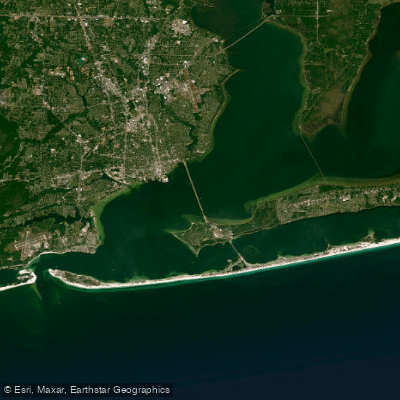
Pensacola Bay
Yellow River
Escambia Bay
Blackwater River
Delaney River
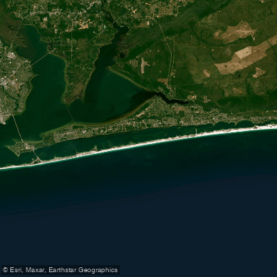
Santa Rosa Sound
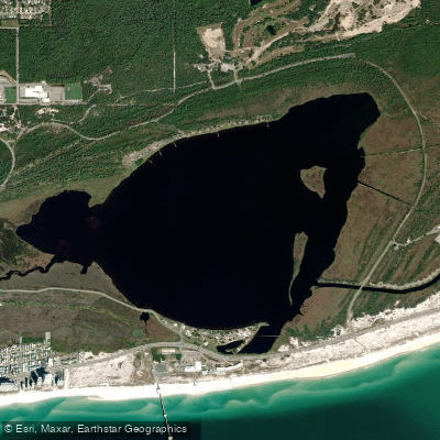
Shelby Lakes
Explore Florida waters
Top paddling waters
Popular Cities
Loading popular cities...
Explore near Escambia River
Access points
Nearby waters
More in Florida

Smarter Paddling Starts in the App.
Paddleways gives you everything you need to plan smarter, paddle better, and own every trip from first launch to takeout.