Escatawpa River
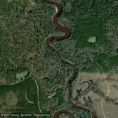
Escatawpa River
- Boat Ramps
- 5
- Access Points
- 8
- Campsites
- 4
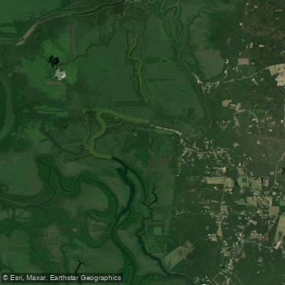
The Escatawpa River is a scenic waterway that originates in Washington County, Alabama near the town of Copeland and flows approximately 129 miles southward until it empties into the Pascagoula River Bay near Moss Point, Mississippi. The river's name derives from a Choctaw phrase meaning where cane is cut, reflecting its historical and cultural significance to indigenous peoples of the region. Popular paddling sections include the 7-mile stretch from Lott Road to Mason Ferry Road and the 14.5-mile segment from Mason Ferry Road to U.S. Highway 98 in Alabama. These sections offer a mix of swift-flowing water and calm stretches, suitable for beginner to intermediate paddlers.
The river is characterized by its blackwater nature, with cypress-lined banks, hanging vegetation, and numerous sandbars that provide excellent camping spots for multi-day trips. The difficulty of the Escatawpa ranges from Class I to II, with some swift-flowing sections that require basic paddling skills. The river is best paddled during spring and fall when water levels are optimal and temperatures are moderate. Summer can be hot and humid, while winter may see lower water levels.
The Escatawpa's ecosystem supports a diverse array of flora and fauna. Paddlers may encounter various wildlife, including diamondback water snakes, turtles, and numerous bird species. The river is flanked by freshwater swamps and cypress forests, creating a lush, scenic environment.
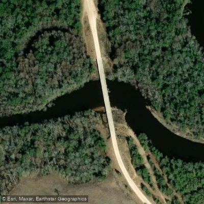
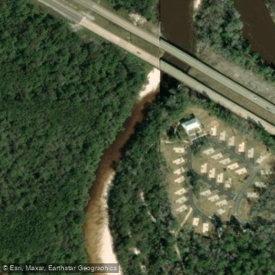
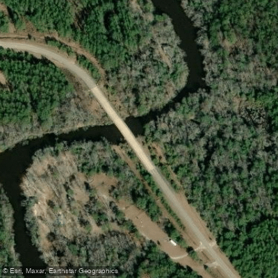
Key access points include: - Lott Road Bridge near Citronelle, AL - Charles Williams, Sr. Bridge on Mason Ferry Road, AL - U.S. Highway 98 (Escatawpa River Campground), AL - Presley's Outing (Goode's Mill Lake) in Moss Point, MS
For those seeking multi-day adventures, the full 22-mile trip from Lott Road to Escatawpa Hollow Camp and Canoe in Wilmer, AL offers an excellent option. Paddlers can also explore side trips into Jackson Creek (2 miles) and Franklin Creek (3 miles) near Presley's Outing.
Safety considerations include being aware of weather conditions, as thunderstorms can develop quickly. Paddlers should also be cautious of submerged obstacles and swift currents in some sections. It's advisable to check water levels before embarking on a trip, especially during drier months.
The Escatawpa River provides a perfect blend of natural beauty, wildlife viewing opportunities, and paddling challenges, making it a gem for outdoor enthusiasts in the Alabama-Mississippi border region.
Water access, boat ramps & amenities
Learn how to get on Escatawpa River. Uncover great paddling access points, boat ramps, and all the facilities you need for an unforgettable day on the water. Some locations shown may border or include private property. Always check property boundaries and applicable regulations before visiting. PaddleWays's Public & Private Land layer can help you plan your access with confidence.
Paddle smarter with real-time insights
Whether you're en route and conditions shift or you're looking for the best spot based on current flows, we enable you to make informed decisions on the fly.








Find Places to Paddle

Over 400,000 Places to Paddle
Every user gets free access to launch points, boat ramps, and public property parcels.


Water and weather conditions (10 day forecast)
See the best times to paddle Escatawpa River and check the forecast before you go.
ESCATAWPA RIVER NEAR WILMER, AL
All Flow Stations
Paddling near Escatawpa River

Pascagoula River
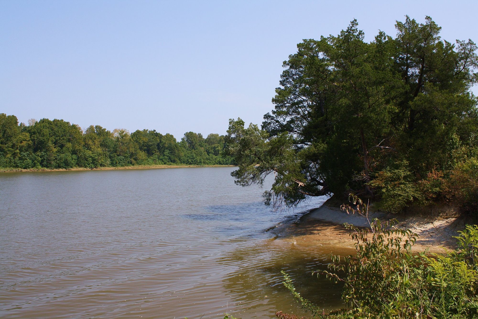
Tombigbee River
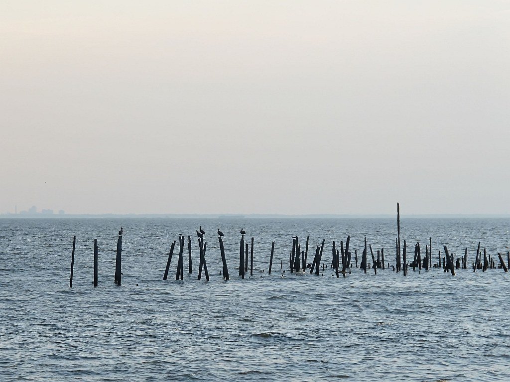
Mobile Bay
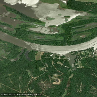
Alabama River
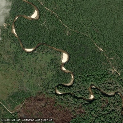
Perdido River
Bon Secour Bay
Escambia River
Justins Bay
Delvan Bay
Briar Lake
Explore Alabama waters
Top paddling waters
Popular Cities
Loading popular cities...
Explore near Escatawpa River
Access points
Nearby waters
More in Alabama

Smarter Paddling Starts in the App.
Paddleways gives you everything you need to plan smarter, paddle better, and own every trip from first launch to takeout.