Fish River
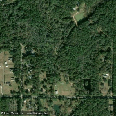
Fish River
- Boat Ramps
- 1
- Access Points
- 3
- Campsites
- 2
The Fish River, a charming waterway in Baldwin County, Alabama, originates near Stapleton and flows southward, eventually emptying into Weeks Bay, a small estuary that connects to Mobile Bay. This coastal river system spans approximately 9 miles of navigable water, primarily between County Road 32 to the north and US Highway 98 to the south. Paddling opportunities on the Fish River cater to various skill levels, with the most popular section being the 6.17-mile stretch from Bohemian Park to the Marlow Ferry public launch. This flatwater run typically takes 2.5 to 4 hours, depending on pace, and offers a pleasant, easy-going experience suitable for beginners and families.
The upper reaches of the river feature a narrower, faster-flowing stream, gradually widening and slowing as it approaches Weeks Bay. The river's difficulty is generally classified as flatwater, making it accessible to most paddlers. However, novices should be aware of potential log jams, particularly in the first two grids below Bohemian Park, which require careful navigation. Fish River's flow is highly responsive to rainfall due to its small watershed, leading to significant fluctuations after storm events.
Late spring through early fall typically provides the most consistent paddling conditions, but checking water levels before embarking is advisable. The river's estuarine nature creates a unique ecosystem where freshwater and saltwater species coexist. Paddlers may encounter a diverse array of wildlife, including flounder, redfish, and speckled trout. The surrounding riparian zones support a mix of coastal and inland vegetation, providing habitat for various bird species.
Key access points include Bohemian Park, located east of Fairhope on Fairhope Avenue, and the Marlow Ferry public launch. Big Daddy's Grill, situated just off County Road 32, serves as a popular midway stop or take-out point. Historically, the Fish River has played a role in the development of Baldwin County's coastal communities. Today, it forms part of the Eastern Shore Blueway, a network of paddling trails that showcases the region's natural beauty and ecological importance.
Safety considerations include monitoring weather forecasts, as the river can change rapidly with rainfall. Paddlers should also be prepared for potential encounters with wildlife, including cottonmouth snakes near log jams. For those seeking a multi-day adventure, the Fish River can be combined with explorations of Weeks Bay and the broader Mobile Bay area, offering a comprehensive coastal paddling experience in southern Alabama.
Water access, boat ramps & amenities
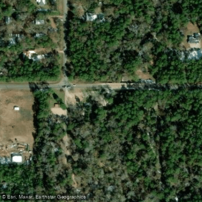
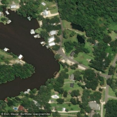
Learn how to get on Fish River. Uncover great paddling access points, boat ramps, and all the facilities you need for an unforgettable day on the water. Some locations shown may border or include private property. Always check property boundaries and applicable regulations before visiting. PaddleWays's Public & Private Land layer can help you plan your access with confidence.
Paddle smarter with real-time insights
Whether you're en route and conditions shift or you're looking for the best spot based on current flows, we enable you to make informed decisions on the fly.








Find Places to Paddle

Over 400,000 Places to Paddle
Every user gets free access to launch points, boat ramps, and public property parcels.


Water and weather conditions (10 day forecast)
See the best times to paddle Fish River and check the forecast before you go.
FISH RIVER NEAR SILVER HILL AL
All Flow Stations
Paddling near Fish River

Pascagoula River
Perdido River
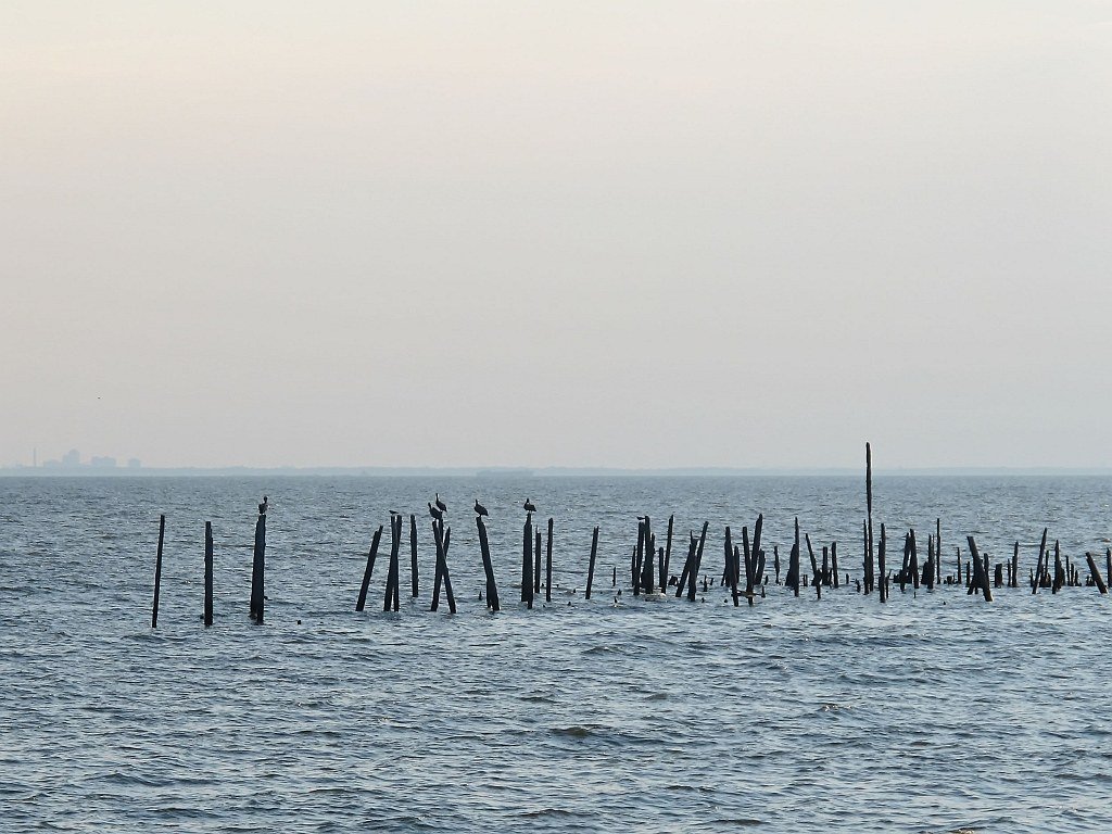
Mobile Bay
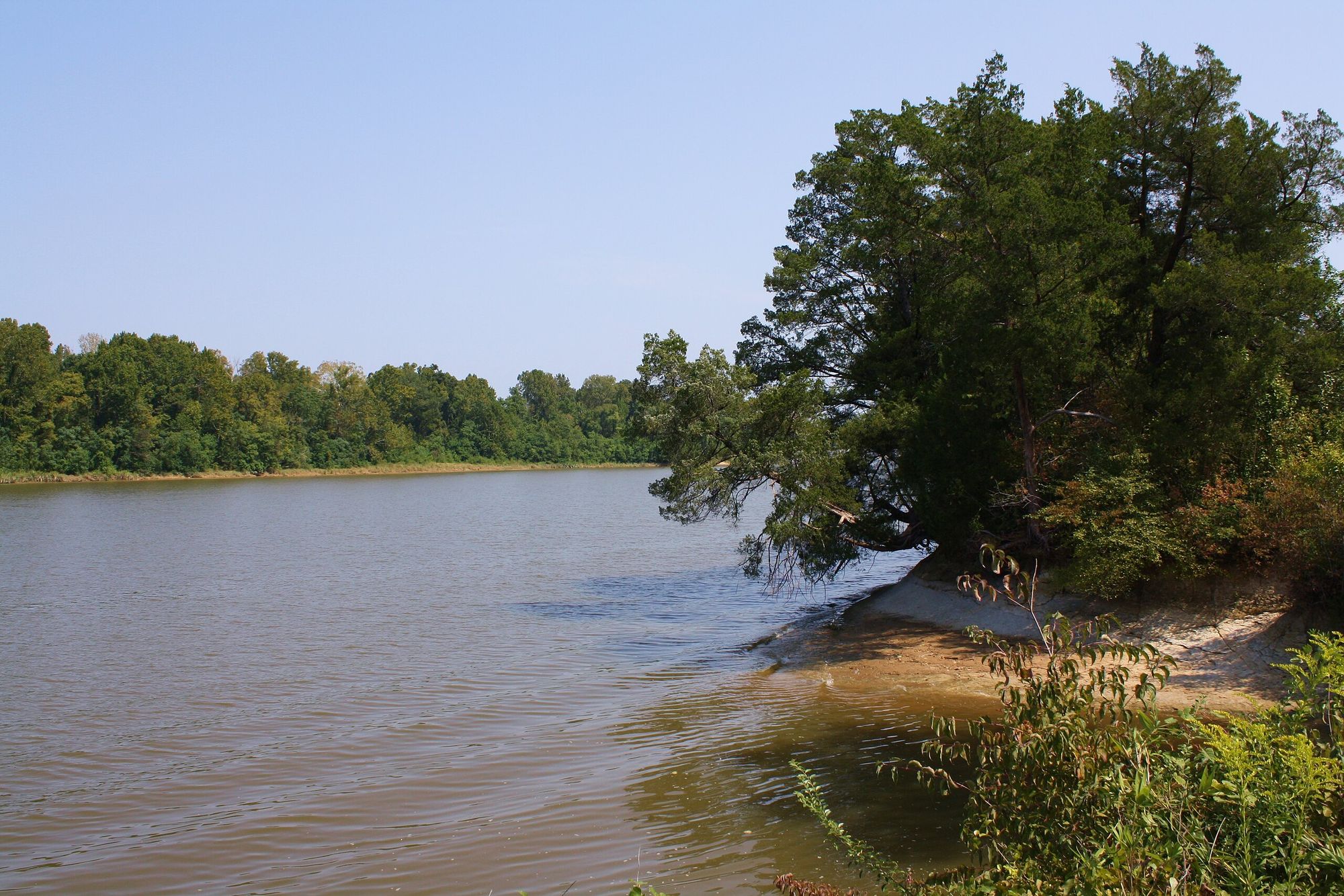
Tombigbee River
Escambia River
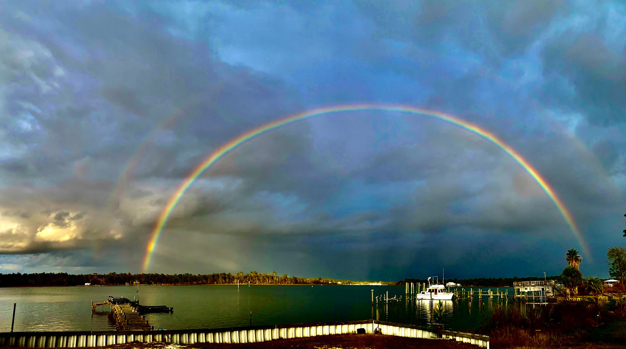
Bon Secour Bay
Alabama River
Little Lagoon
Mississippi Sound
Oyster Bay
Explore Alabama waters
Top paddling waters
Popular Cities
Loading popular cities...
Explore near Fish River
Access points
Nearby waters
More in Alabama

Smarter Paddling Starts in the App.
Paddleways gives you everything you need to plan smarter, paddle better, and own every trip from first launch to takeout.