Carmen Lake
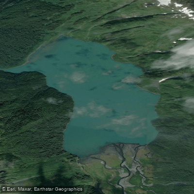
Carmen Lake
- Boat Ramps
- 0
- Access Points
- 0
- Campsites
- 0
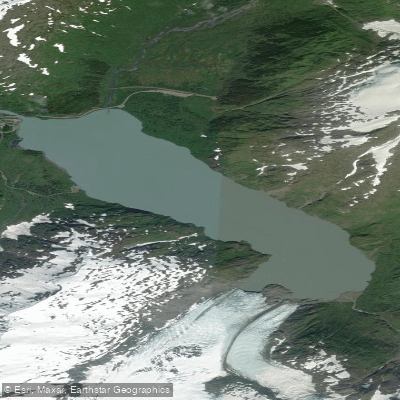
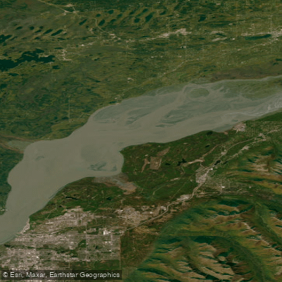
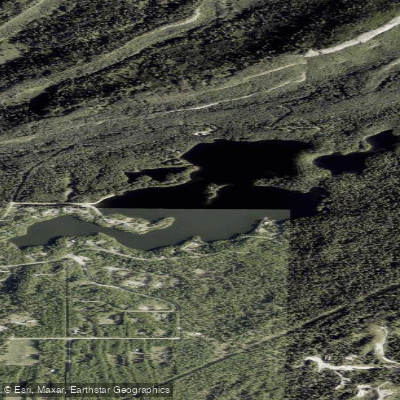
Carmen Lake is a remote alpine lake located in the Chugach Mountains of Alaska, approximately 9 miles northwest of Whittier. The lake is 2.5 miles long and sits at the head of Glacier River. Access to Carmen Lake is primarily via jetboat, with tours departing from mile 80.5 of the Seward Highway, about 10 minutes from Girdwood.
The lake is surrounded by dramatic scenery, including towering peaks with couloirs emptying into its aqua-colored waters. A hanging blue ice glacier is visible from the lake, adding to its scenic appeal. Wildlife such as eagles and bears may be spotted in the surrounding wilderness.
Paddling on Carmen Lake is best suited for beginners, as the waters are generally calm. Guided stand-up paddleboard tours are available, offering instruction on basic paddling techniques while taking in views of the white-capped peaks. These tours typically last around 3 hours.
Due to its remote location, facilities at Carmen Lake are limited. Paddlers should be prepared with appropriate gear for cold water conditions. Weather and water levels can impact accessibility, so checking current conditions before planning a trip is advisable.
The lake serves as the put-in point for whitewater kayaking and rafting trips down the Twentymile River system. More experienced paddlers can continue downstream on the Carmen River, which features Class II rapids for about 4 miles before joining the Glacier River.
Carmen Lake's pristine waters and surrounding untouched wilderness provide a true backcountry paddling experience in the Alaskan wilderness. However, its remote nature and potential for rapidly changing conditions require careful preparation and respect for the environment.
Water access, boat ramps & amenities
Learn how to get on Carmen Lake. Uncover great paddling access points, boat ramps, and all the facilities you need for an unforgettable day on the water. Some locations shown may border or include private property. Always check property boundaries and applicable regulations before visiting. PaddleWays's Public & Private Land layer can help you plan your access with confidence.
Paddle smarter with real-time insights
Whether you're en route and conditions shift or you're looking for the best spot based on current flows, we enable you to make informed decisions on the fly.








Find Places to Paddle

Over 400,000 Places to Paddle
Every user gets free access to launch points, boat ramps, and public property parcels.


Water and weather conditions (10 day forecast)
See the best times to paddle Carmen Lake and check the forecast before you go.
No forecast data available.
Paddling near Carmen Lake
Explore Alaska waters
Top paddling waters
Popular Cities
Loading popular cities...
Explore near Carmen Lake

Smarter Paddling Starts in the App.
Paddleways gives you everything you need to plan smarter, paddle better, and own every trip from first launch to takeout.