Turnagain Arm
- Saltwater
- Bay
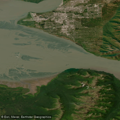
Turnagain Arm
- Saltwater
- Bay
- Sq. miles
- 321
- Boat Ramps
- 0
- Access Points
- 0
- Campsites
- 2
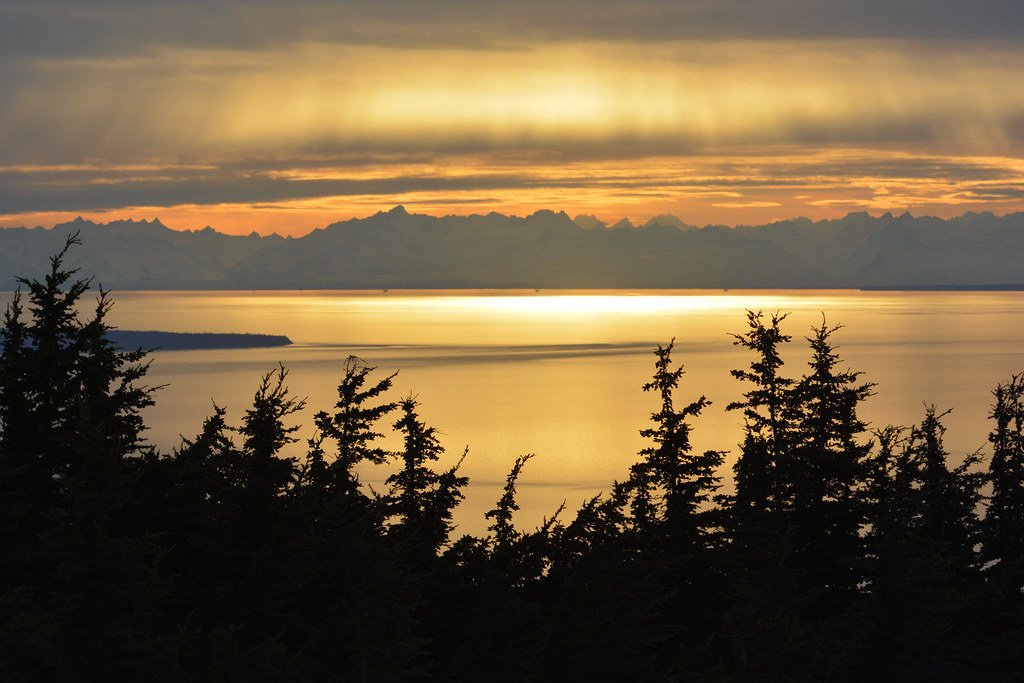
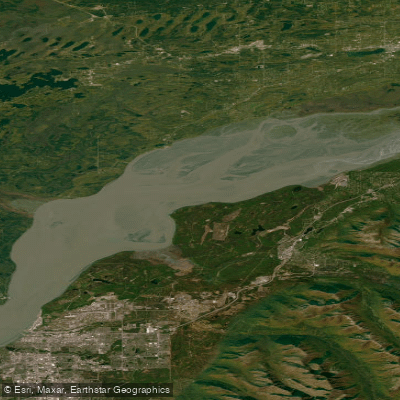
Turnagain Arm is a saltwater inlet and branch of Cook Inlet located just south of Anchorage, Alaska, running parallel to the Seward Highway. It is characterized by dramatic mountain scenery and expansive tidal flats that are exposed during low tide. This waterway is known for extreme tidal ranges, with water levels capable of rising up to 40 feet, and for hosting one of the world's largest bore tides, a powerful wave that surges in during certain tidal conditions. Paddling here, including kayaking and stand-up paddleboarding, is considered an extremely advanced and potentially dangerous activity suitable only for experienced paddlers with a strong understanding of local conditions. The area lacks formal, developed boat launches. Rescue services must carry boats over 30-40 feet of large, jagged rocks and across mudflats to access the water, highlighting the challenging and remote nature of put-ins and take-outs. The mudflats themselves are famously hazardous, being like quicksand and difficult to escape. Wind conditions can be severe, with gusts around 30 mph creating challenging wave patterns even for experienced surfers riding the bore tide. The cold water temperature, even in summer, necessitates appropriate protective gear such as a drysuit. Wildlife sightings may include beluga whales, especially during salmon runs, as well as Dall sheep on the cliffs and various birds. The overall character of paddling in Turnagain Arm is one of significant risk and demands a high level of skill, preparation, and respect for powerful natural forces. Paddlers must be intensely mindful of the tides, as water levels change rapidly and the exposed flats can become deadly traps.
Water access, boat ramps & amenities
Learn how to get on Turnagain Arm. Uncover great paddling access points, boat ramps, and all the facilities you need for an unforgettable day on the water. Some locations shown may border or include private property. Always check property boundaries and applicable regulations before visiting. PaddleWays's Public & Private Land layer can help you plan your access with confidence.
Paddle smarter with real-time insights
Whether you're en route and conditions shift or you're looking for the best spot based on current flows, we enable you to make informed decisions on the fly.








Find Places to Paddle

Over 400,000 Places to Paddle
Every user gets free access to launch points, boat ramps, and public property parcels.


Tides, wind & water conditions (10 day forecast)
On open water, wind and tide matter as much as the weather. See the best times to paddle Turnagain Arm and check the marine forecast before you launch.
Loading tide predictions…
Paddling near Turnagain Arm
Explore Alaska waters
Top paddling waters
Popular Cities
Loading popular cities...
Explore near Turnagain Arm
Access points
Nearby waters
More in Alaska

Smarter Paddling Starts in the App.
Paddleways gives you everything you need to plan smarter, paddle better, and own every trip from first launch to takeout.