Hallo Bay
- Saltwater
- Bay
Hallo Bay
- Saltwater
- Bay
- Sq. miles
- 30
- Boat Ramps
- 0
- Access Points
- 0
- Campsites
- 0
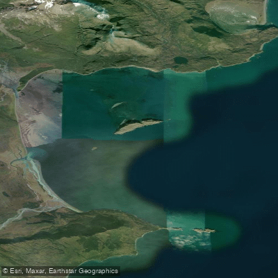
Hallo Bay is a large coastal bay on the Pacific coast of Katmai National Park, directly facing the Shelikof Strait. The primary access for paddlers is by small aircraft, typically wheeled planes that land directly on the expansive sandy beaches, as there is no road access. The bay features miles of open sandy shoreline backed by wide sedge grass meadows, with the snowcapped volcano Mount Douglas dominating the skyline. The water body is characterized by very gradual shallows that extend a long distance from shore, which significantly affects wave action. The entire coastline is exposed to large swells and wind-driven waves generated across the open Shelikof Strait, making boat landings on the beach challenging during periods of significant swell. Tidal currents are present, with bears noted for fishing salmon directly in the tidal surf. A notable geographical feature within the bay is Ninagiak Island, located far from the mainland shore in the middle of the bay at approximately 58° 27' N, 154° 0' W; this grassy island is accessible by small boat and offers a potential landing spot away from the immediate mainland. The area is a premier bear viewing destination, with a high concentration of coastal brown bears active on the beaches, in the meadows, and along streams throughout the season from May through September. Paddlers must be prepared for constant bear presence and practice strict food storage and bear safety protocols; all guided bear viewing in the area is conducted on foot by experts. The National Park Service designates Hallo Bay as subject to seasonal camping closures, so paddlers must verify current regulations. There are no developed facilities for paddlers; the only amenities are associated with a remote bear viewing camp that offers services to its guests. Weather is a major factor for access and travel, frequently preventing aircraft from landing on the beach.
Water access, boat ramps & amenities
Learn how to get on Hallo Bay. Uncover great paddling access points, boat ramps, and all the facilities you need for an unforgettable day on the water. Some locations shown may border or include private property. Always check property boundaries and applicable regulations before visiting. PaddleWays's Public & Private Land layer can help you plan your access with confidence.
Paddle smarter with real-time insights
Whether you're en route and conditions shift or you're looking for the best spot based on current flows, we enable you to make informed decisions on the fly.








Find Places to Paddle

Over 400,000 Places to Paddle
Every user gets free access to launch points, boat ramps, and public property parcels.


Tides, wind & water conditions (10 day forecast)
On open water, wind and tide matter as much as the weather. See the best times to paddle Hallo Bay and check the marine forecast before you launch.
Loading tide predictions…
Paddling near Hallo Bay
Chiniak Bay
Marmot Bay
Kalsin Bay
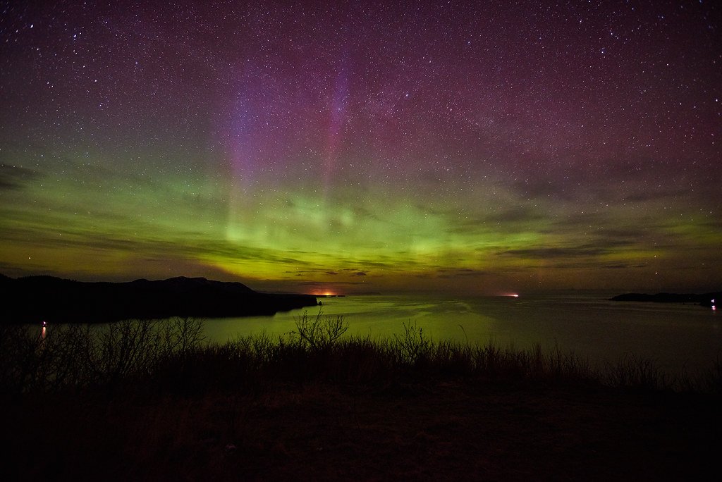
Monashka Bay
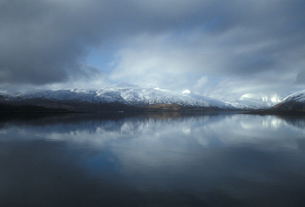
Womens Bay
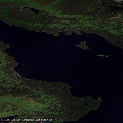
Narrow Strait
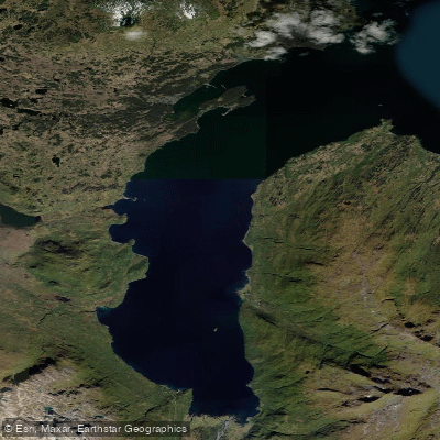
Kizhuyak Bay
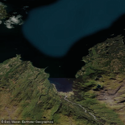
Sharatin Bay
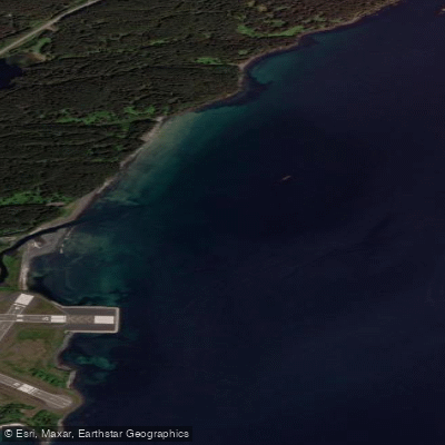
Saint Paul Harbor
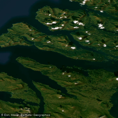
Kupreanof Strait
Explore Alaska waters
Top paddling waters
Popular Cities
Loading popular cities...
Explore near Hallo Bay

Smarter Paddling Starts in the App.
Paddleways gives you everything you need to plan smarter, paddle better, and own every trip from first launch to takeout.