Nuka Bay
- Saltwater
- Bay
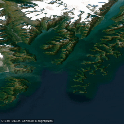
Nuka Bay
- Saltwater
- Bay
- Sq. miles
- 144
- Boat Ramps
- 0
- Access Points
- 0
- Campsites
- 0
Nuka Bay is a large, complex coastal bay within Kenai Fjords National Park on the southern coast of Alaska's Kenai Peninsula. It is a less-visited area compared to other park fjords like Aialik Bay. Access for paddlers is primarily by air charter from Homer or by a multi-day coastal paddle from Seward, which involves navigating exposed coastline and significant capes like Gore Point. There are no direct road-accessible launches; paddlers typically use water taxis, charter boats, or flights to reach drop-off points. The coastline features sharp cliffs, steep high-energy beaches, and challenging landings, with safe beaches often difficult to find. Consulting detailed charts, satellite imagery, and the National Geographic Trails Illustrated map is recommended to identify potential landing sites, some of which have food storage lockers.
The bay's geography includes several arms, inlets, and islands, such as North Arm, Surprise Bay, and Nuka Island. The area is known for its dramatic scenery with towering mountains, numerous waterfalls, and outer islands. Paddlers will encounter strong tidal currents, particularly in constricted passages like McArthur Pass, where currents can reach 3 to 4 knots and dangerous seas can form with an east wind and ebb tide. Current patterns can be complex and local, so paddlers must be prepared to assess conditions on the water. Weather changes rapidly, and the area is prone to high winds and heavy rain, making careful weather monitoring via VHF radio essential. The coastline is extremely exposed in places, with long stretches offering no landing options.
Hazards include abandoned mines and structures within the bay. Wildlife includes bears, mountain goats, sea lions, and river otters. Proper food storage is mandatory due to bear activity. Camping is allowed in the coastal backcountry, but sites should be chosen carefully, avoiding beaches within two miles of tidewater glaciers and assessing wave action potential. A public use cabin is available in North Arm by reservation. The overall experience is one of remote, challenging wilderness paddling where self-sufficiency, advanced skills, and meticulous planning for tides, weather, and currents are required for safety.
Water access, boat ramps & amenities
Learn how to get on Nuka Bay. Uncover great paddling access points, boat ramps, and all the facilities you need for an unforgettable day on the water. Some locations shown may border or include private property. Always check property boundaries and applicable regulations before visiting. PaddleWays's Public & Private Land layer can help you plan your access with confidence.
Paddle smarter with real-time insights
Whether you're en route and conditions shift or you're looking for the best spot based on current flows, we enable you to make informed decisions on the fly.








Find Places to Paddle

Over 400,000 Places to Paddle
Every user gets free access to launch points, boat ramps, and public property parcels.


Tides, wind & water conditions (10 day forecast)
On open water, wind and tide matter as much as the weather. See the best times to paddle Nuka Bay and check the marine forecast before you launch.
Loading tide predictions…
Paddling near Nuka Bay
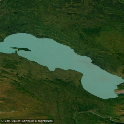
Tustumena Lake
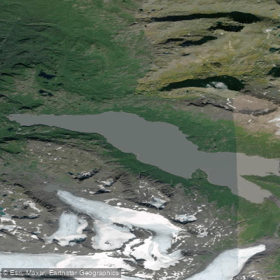
Bradley Lake
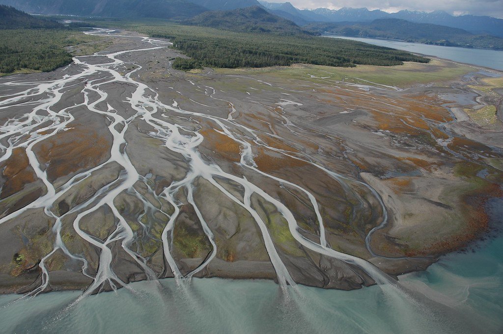
Kachemak Bay
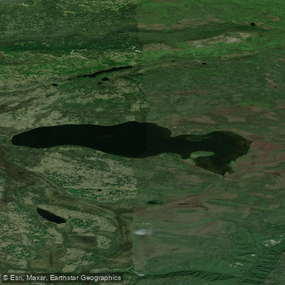
Caribou Lake
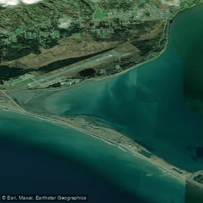
Coal Bay
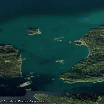
Eldred Passage
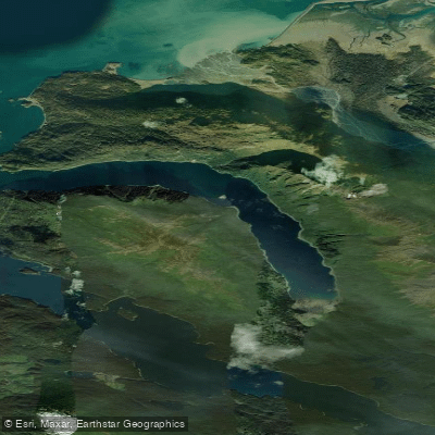
Sadie Cove
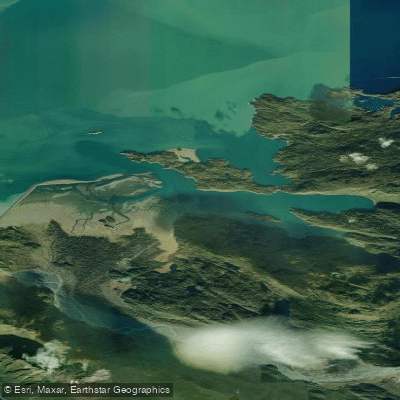
China Poot Bay
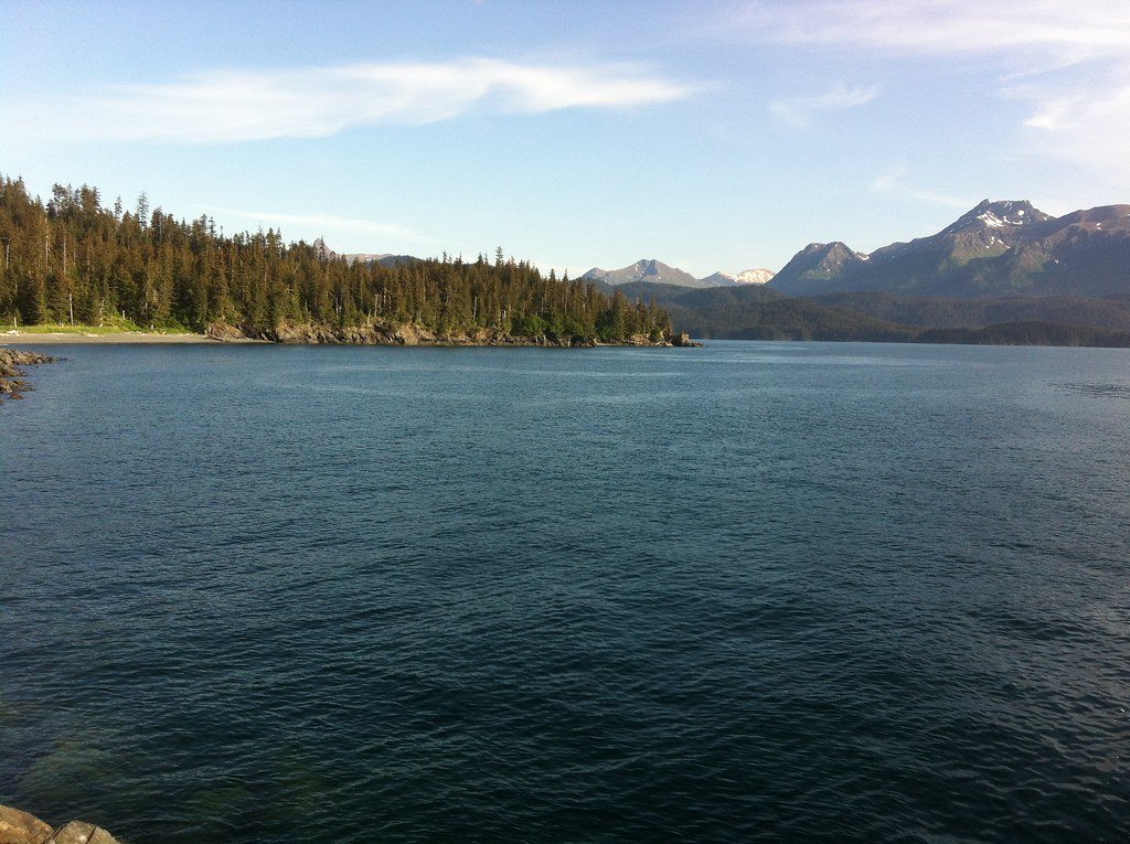
Tutka Bay
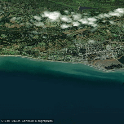
Bishop's Beach
Explore Alaska waters
Top paddling waters
Popular Cities
Loading popular cities...
Explore near Nuka Bay

Smarter Paddling Starts in the App.
Paddleways gives you everything you need to plan smarter, paddle better, and own every trip from first launch to takeout.