Martinez Lake
- Lake
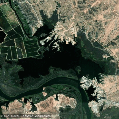
Martinez Lake
- Lake
- Public shoreline
- 0%
- Boat Ramps
- 3
- Access Points
- 3
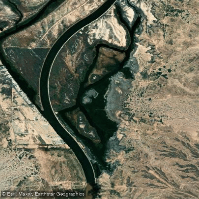
Martinez Lake is a approximately 400-acre impoundment on the lower Colorado River located about 60 miles north of Yuma in Yuma County, Arizona. This scenic lake offers paddlers a unique blend of open water exploration and intimate backwater channels, making it an appealing destination for kayakers and canoeists of varying skill levels.
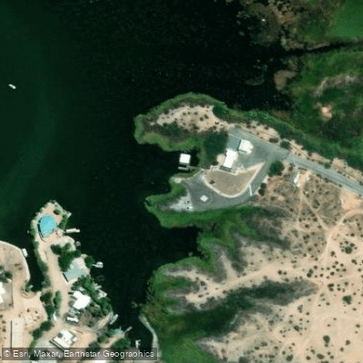
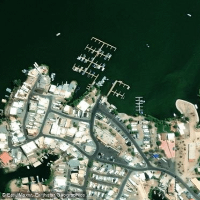
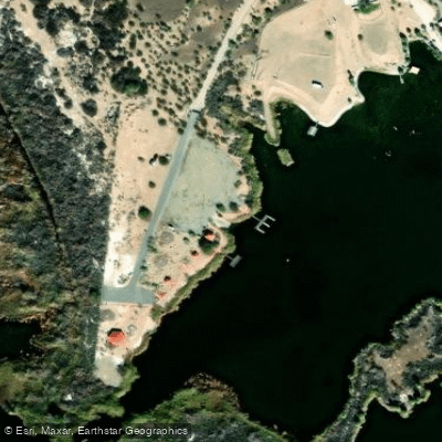
**Access Points**: The primary paddling access is at Meer's Point, a day-use area with a small concrete boat ramp, shaded picnic spots, and fishing platforms, accessed via dirt roads from Martinez Lake Road and Red Cloud Mine Road. Fisher's Landing on the south side of the lake offers another launch facility with ample parking and on-site amenities including a restaurant and camping. Both locations fall within or near the Imperial National Wildlife Refuge boundaries.
**Character and Conditions**: Martinez Lake features a maze of channels, coves, and islands on its northwest side that provide sheltered paddling away from motorized traffic. The main lake connects to the Colorado River through a narrow cut, allowing paddlers to venture upstream into moderate current (approximately 3 mph flow). Power boat traffic is generally moderate and confined to specific areas, with boaters typically courteous to paddlers. Wind can be a significant factor, particularly after mid-morning, creating challenging conditions on the open water.
**Scenery and Wildlife**: The lake offers stunning views of the Castle Dome Mountains to the east and features dense riparian vegetation along most shorelines. Wildlife viewing is exceptional, with abundant waterbirds including coots, cormorants, and pelicans. The surrounding Imperial National Wildlife Refuge provides habitat for desert bighorn sheep and other Sonoran Desert species. Some development exists along portions of the shoreline, but much remains natural.
**Considerations**: Navigation can be challenging in the backwater channels without GPS or prior knowledge. Dense vegetation limits shore access in most areas. Water levels fluctuate based on dam releases, affecting conditions and launch accessibility.
Hazards
Hazards on Martinez Lake
No hazards are marked on Martinez Lake yet. That is not the same as none being there: if you find one, report it for the next paddler.
From the community
Martinez Lake trip reports
Nobody has shared a trip on Martinez Lake yet. Paddle it, then tell the next paddler how it went.
Water access & public shoreline
See exactly where the public can get on and off the water. Launch points and boat ramps are paired with PaddleWays' public land data so you know where you can legally land.
Public shoreline
0%of the lake's shoreline is public
- Public
- 0%
- Private
- 100%
Most of the shoreline is private. Launch, land and camp only at public access points.
Paddling conditions (10 day forecast)
Weather and wind, so you know what to expect on Martinez Lake today.
No forecast data available.
Paddle smarter with real-time insights
Live flows, marked hazards and fresh trip reports from paddlers who were just on the water, all in one place.







Find Places to Paddle

Over 400,000 Places to Paddle
Every user gets free access to launch points, boat ramps, and public property parcels.



Paddling near Martinez Lake
Explore Arizona waters
Top paddling waters
Popular Cities
Loading popular cities...
Explore near Martinez Lake

Smarter Paddling Starts in the App.
PaddleWays gives you everything you need to plan smarter, paddle better, and own every trip from first launch to takeout.