Santa Cruz River
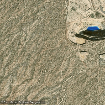
Santa Cruz River
- Boat Ramps
- 0
- Access Points
- 0
- Campsites
- 0
The Santa Cruz River, nestled in the scenic landscapes of northern New Mexico, offers a thrilling whitewater experience for expert paddlers. Located approximately 31 miles north of Santa Fe, this river is renowned for its intense, action-packed stretch from Cundiyo to Santa Cruz Reservoir.
The primary paddling section of interest is the 1.7-mile run from Cundiyo to Santa Cruz Reservoir. This short but challenging stretch is characterized by its steep gradient, dropping an impressive 195 feet per mile on average. The river features continuous Class IV-V rapids, making it suitable only for highly skilled kayakers and rafters with advanced whitewater experience.
Due to its difficulty, the Santa Cruz River is not recommended for beginners or intermediate paddlers. The technical nature of the rapids requires expert maneuvering skills, and thorough scouting is essential before attempting this run. Safety considerations are paramount, and paddlers should be well-versed in swift water rescue techniques.
The best time to paddle the Santa Cruz River typically coincides with the spring snowmelt, usually occurring from late April through early June. However, water levels can be unpredictable, so it's crucial to check current flow rates and weather conditions before planning a trip.
While the intense whitewater is the main draw, the surrounding landscape offers beautiful high desert scenery typical of northern New Mexico. The river corridor may provide glimpses of local wildlife, though the fast-paced nature of the run leaves little time for extended observation.
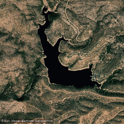
Access to the river is primarily via Cundiyo for the put-in and Santa Cruz Reservoir for the take-out. The reservoir itself offers additional recreational opportunities, including fishing and small boat activities in a no-wake environment, providing a contrasting calm to the river's intensity.
Given its proximity to Santa Fe, the Santa Cruz River has become a popular destination for skilled local paddlers and thrill-seeking visitors alike. However, due to its short length and high difficulty, it's not suitable for multi-day trips. Instead, it serves as an excellent training ground for advanced paddlers looking to hone their skills or experience a quick adrenaline rush.
It's worth noting that the Santa Cruz River's flow is monitored by a USGS gauge near Cundiyo, which provides crucial real-time data for paddlers planning their runs. As with all challenging whitewater, respecting the river's power and being prepared for its demands are essential for a safe and enjoyable experience on this remarkable New Mexican waterway.
Water access, boat ramps & amenities
Learn how to get on Santa Cruz River. Uncover great paddling access points, boat ramps, and all the facilities you need for an unforgettable day on the water. Some locations shown may border or include private property. Always check property boundaries and applicable regulations before visiting. PaddleWays's Public & Private Land layer can help you plan your access with confidence.
Paddle smarter with real-time insights
Whether you're en route and conditions shift or you're looking for the best spot based on current flows, we enable you to make informed decisions on the fly.








Find Places to Paddle

Over 400,000 Places to Paddle
Every user gets free access to launch points, boat ramps, and public property parcels.


Water and weather conditions (10 day forecast)
See the best times to paddle Santa Cruz River and check the forecast before you go.
SANTA CRUZ RIVER NEAR NOGALES, AZ.
All Flow Stations
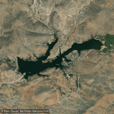
Explore Arizona waters
Top paddling waters
Popular Cities
Loading popular cities...
Explore near Santa Cruz River
Access points
Nearby waters
More in Arizona

Smarter Paddling Starts in the App.
Paddleways gives you everything you need to plan smarter, paddle better, and own every trip from first launch to takeout.