Slippery Rock Boat Ramp
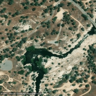
Slippery Rock Boat Ramp
Slippery Rock is the furthest upstream put-in on the Lower Kern River, located just 0. 45 miles below Isabella Dam and accessible via Keyesville Road off Highway 155.
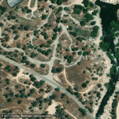
The facility features a paved single-lane road with a short, easy carry to the river and a large dirt parking lot, making it an ideal starting point for Lower Kern River trips.
Built by the Division of Boating and Waterways, this public access point provides convenient launching for both rafting and paddling enthusiasts.
Nearby points of interest
Find excellent paddling spots, easy access to boat ramps, and all the amenities you need for a memorable day. Your adventure starts here.

Water and weather conditions (10 day forecast)
Check the forecast at Slippery Rock Boat Ramp before you go paddling.
No forecast data available.
Paddling near Slippery Rock Boat Ramp
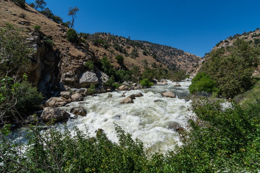
Kern River
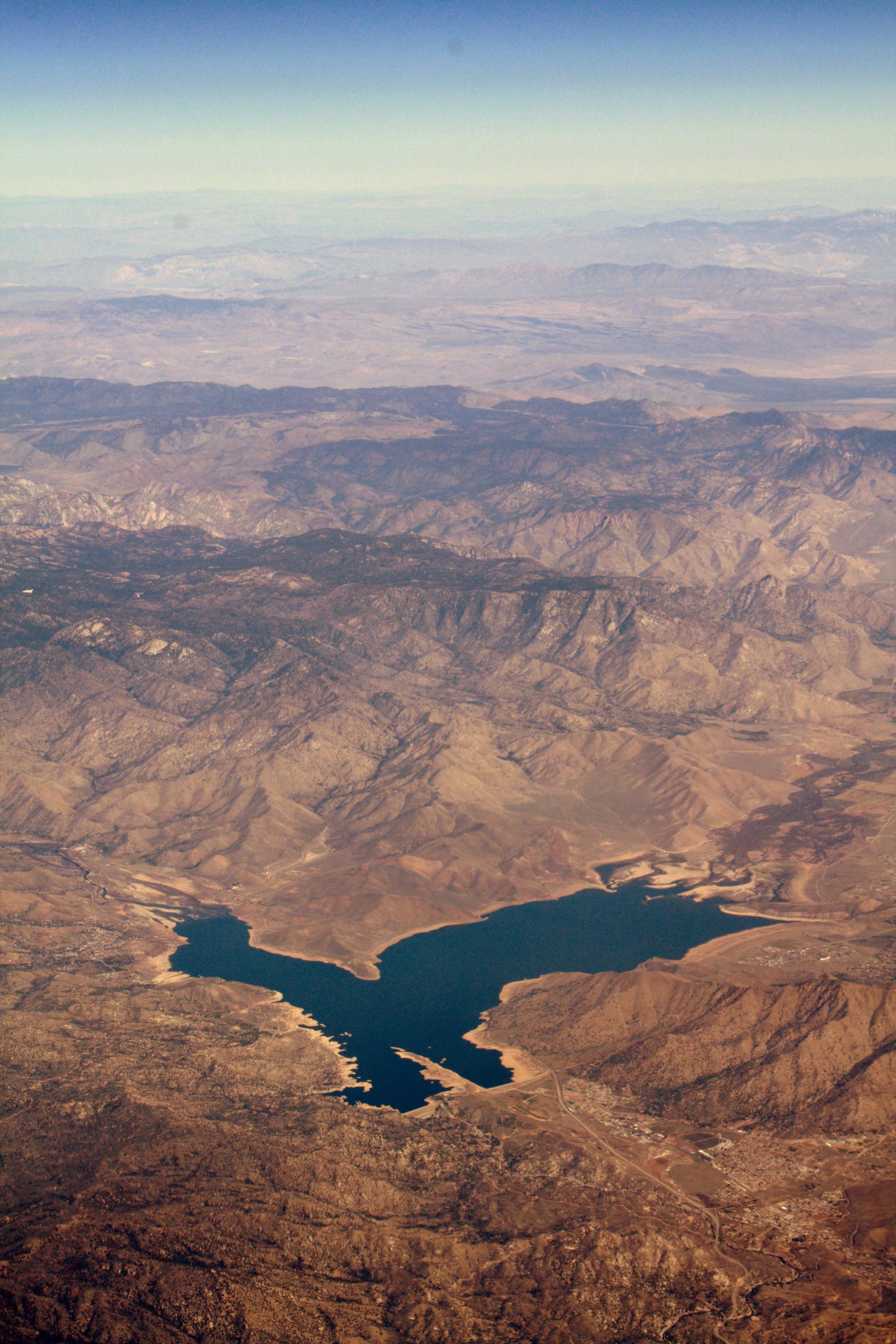
Isabella Lake
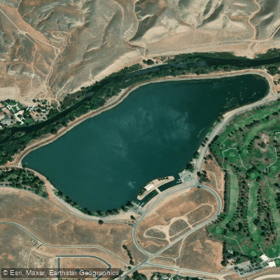
Lake Ming
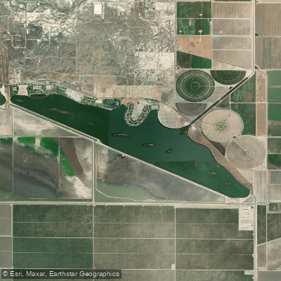
Lake Webb
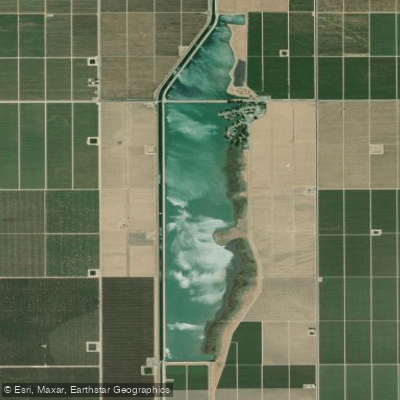
Lake Woollomes
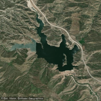
Pyramid Lake

Piru Creek
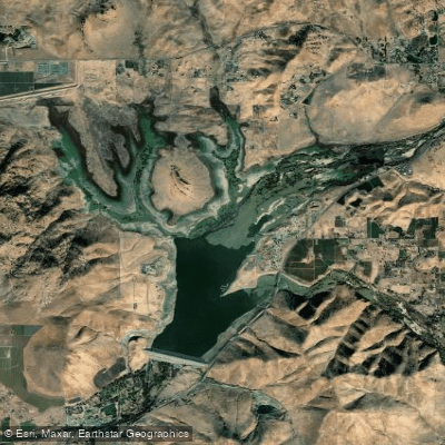
Lake Success
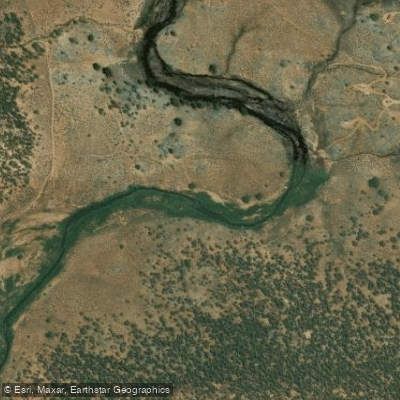
South Fork Kern River
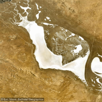
Soda Lake
California licenses and regulations
Explore California waters
Top paddling waters
No waters available right now.
Popular Cities
Loading popular cities...
Explore near Slippery Rock Boat Ramp
Nearby spots
- Bodfish Exit Site Granite Boat Ramp
- Deans North Fork Marina Boat Ramp
- French Gulch Boat Ramp
- French Gulch Marina Boat Ramp
- Highway 178 Bridge Boat Ramp
- Lake Isabella Boat Ramp
- Miracle Boat Ramp
- Paradise Cove Boat Ramp
- Sandy Flat Boat Ramp
- Isabella Dam Tailwater Access
- Lake Isabella Access
- Stine Cove Access
- All 33 nearby spots
Nearby waters
More in California

Smarter Paddling Starts in the App.
Paddleways gives you everything you need to plan smarter, paddle better, and own every trip from first launch to takeout.