Pyramid Lake
Pyramid Lake
- Boat Ramps
- 2
- Access Points
- 3
- Campsites
- 6
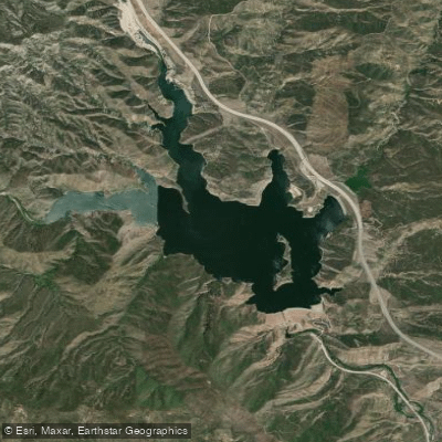
Pyramid Lake, located in Los Angeles County along Interstate 5 between the Angeles and Los Padres National Forests, offers paddlers a scenic 1,360-acre reservoir with 21 miles of shoreline. Created in 1973 by Pyramid Dam on Piru Creek, the lake reaches depths of 700 feet and is named after a distinctive pyramid-shaped rock formation carved during highway construction.
**Access Points:** The primary paddling access is through Emigrant Landing, reached via exit 195 (Smokey Bear Road) off Interstate 5. Kayaks, canoes, and stand-up paddleboards can be rented at the marina or launched from the eight-lane boat ramp. Rental rates start at $13 per hour for kayaks and paddleboards (with $40-50 deposits required). Vaquero Beach, accessible from exit 191 (Vista Del Lago Road), offers seasonal paddleboard rentals. All watercraft must pass a quagga/golden mussel inspection before launching—arrive with equipment clean, drained, and dry.
**Character and Conditions:** The lake features varied paddling environments. Canyon areas enforce lower speed limits, making them ideal for quieter kayak and canoe exploration away from motorized traffic. The main body allows higher-speed boating and can become busy on weekends, as the lake caps capacity at 150 boats and 50 jet skis. Several boat-accessible-only picnic areas—Spanish Point, Bear Trap, Yellowbar, and Serrano—provide peaceful destinations with courtesy docks and scenic stopping points.
**Hazards:** Wind can create challenging conditions on this large reservoir. Paddlers should stay aware of motorized traffic, particularly in open water zones. The lake closes at sunset; last launch for private watercraft is 2:00 PM, with all vessels off the water by 4:00 PM. Children 12 and under must wear PFDs while underway. Swimming is restricted to designated beaches.
**Scenery:** Paddlers enjoy panoramic views of surrounding mountains, the dramatic pyramid-shaped dam, and rugged canyon landscapes. The lake's color shifts from blue to gray depending on sky conditions, creating striking photographic opportunities.
Water access, boat ramps & amenities
Learn how to get on Pyramid Lake. Uncover great paddling access points, boat ramps, and all the facilities you need for an unforgettable day on the water. Some locations shown may border or include private property. Always check property boundaries and applicable regulations before visiting. PaddleWays's Public & Private Land layer can help you plan your access with confidence.
Paddle smarter with real-time insights
Whether you're en route and conditions shift or you're looking for the best spot based on current flows, we enable you to make informed decisions on the fly.








Find Places to Paddle

Over 400,000 Places to Paddle
Every user gets free access to launch points, boat ramps, and public property parcels.


Water and weather conditions (10 day forecast)
See the best times to paddle Pyramid Lake and check the forecast before you go.
No forecast data available.
Paddling near Pyramid Lake
San Gabriel River
Castaic Lagoon
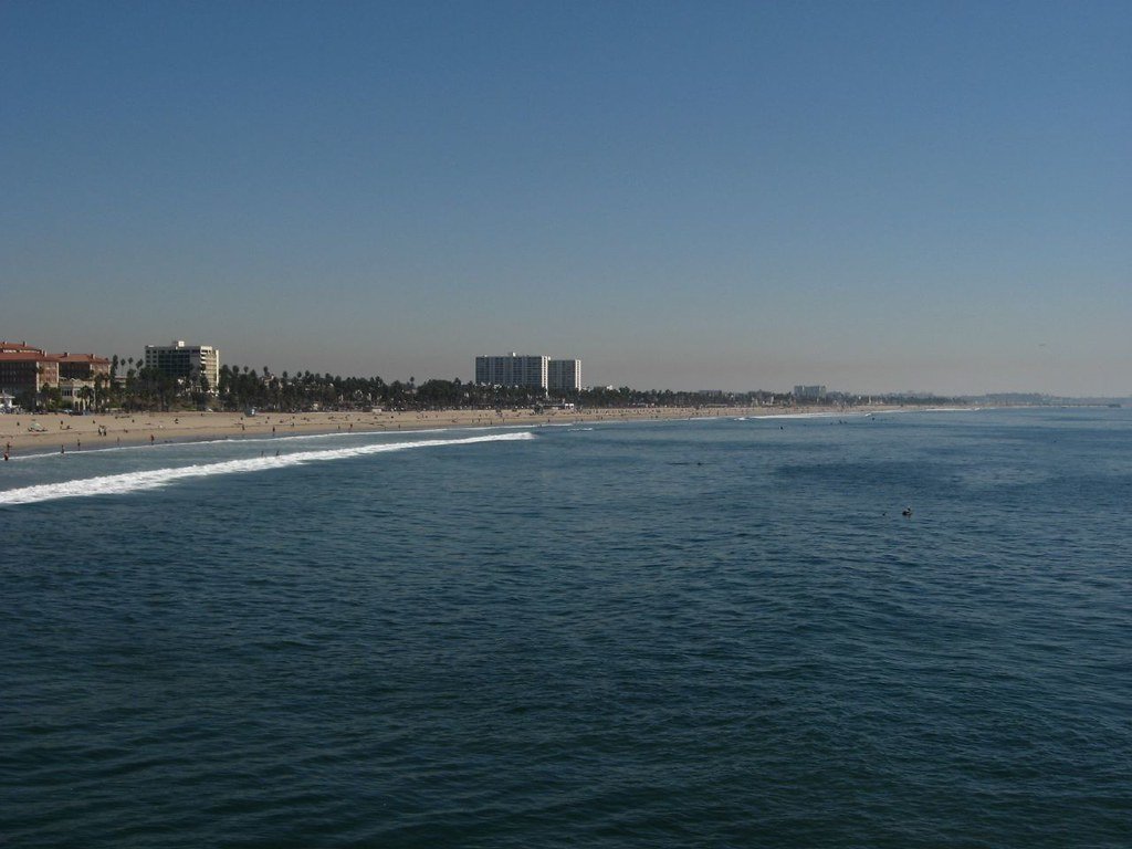
Santa Monica Bay

Piru Creek
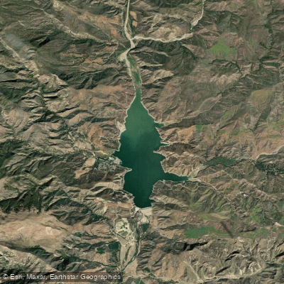
Lake Piru
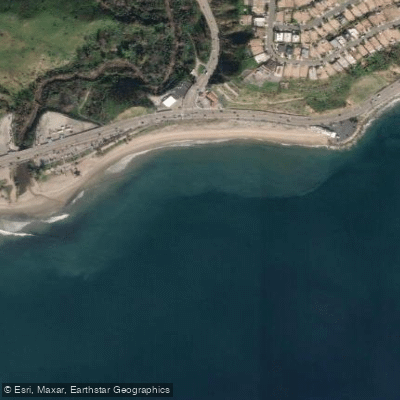
Topanga Beach
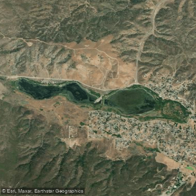
Elizabeth Lake
Will Rogers State Beach
Sespe Creek
Explore California waters
Top paddling waters
Popular Cities
Loading popular cities...
Explore near Pyramid Lake
Access points
Nearby waters
More in California

Smarter Paddling Starts in the App.
Paddleways gives you everything you need to plan smarter, paddle better, and own every trip from first launch to takeout.