South Fork Kern River
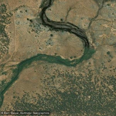
South Fork Kern River
- Boat Ramps
- 0
- Access Points
- 3
- Campsites
- 31
The South Fork Kern River originates high in California's southern Sierra Nevada mountains, flowing south through Tulare County before turning west to join the main Kern River near Lake Isabella. This 87-mile waterway drains a watershed of approximately 980 square miles, characterized by pine forests, meadows, and rugged canyons. The river offers a range of paddling experiences, from calm flatwater sections to intense whitewater.
The upper reaches near Kennedy Meadows provide a challenging 39-mile wilderness run with Class V rapids and mandatory portages. As the river descends, it transitions into more moderate Class III-IV whitewater near Johnsondale Bridge and Kernville.
Skill requirements vary dramatically by section. The remote upper canyon demands expert paddling abilities and wilderness experience. Intermediate paddlers can enjoy the popular runs near Kernville, while novices can find suitable Class II rapids on some lower stretches.
Spring snowmelt provides the most reliable flows, typically from April through June. Summer releases from upstream dams can extend the season on some sections. Fall and winter paddling is possible but weather-dependent.
The river corridor hosts diverse ecosystems, from alpine meadows to chaparral. Wildlife includes black bears, mule deer, and golden eagles. Stands of giant sequoias can be found in nearby groves.
Key landmarks include the dramatic White Dome formation in the upper canyon and the Fairview Dam. The Forks of the Kern, where the North and South Forks meet, is considered one of the most spectacular confluences in the Sierra.
Primary access points are at Kennedy Meadows, Johnsondale Bridge, and various spots near Kernville. Nearby towns include Kernville, Lake Isabella, and Ridgecrest.
The river holds cultural significance for the Tubatulabal and Kawaiisu peoples. It later played a role in early logging operations and the California gold rush.
Safety considerations include remote terrain, difficult evacuation routes, and potentially dangerous high water levels.
Permits are required for commercial use and some wilderness sections. Multi-day trip options range from 2-3 day runs on the Forks of the Kern to extended wilderness expeditions on the upper reaches. Camping is available at designated sites along much of the river.
Water access, boat ramps & amenities
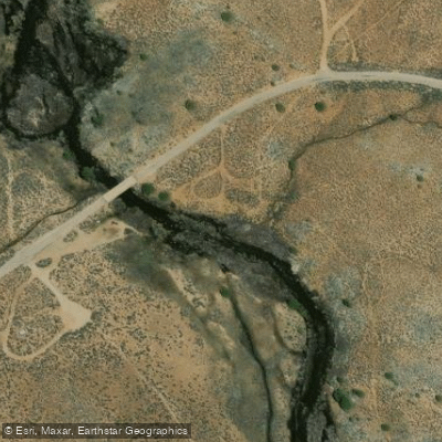
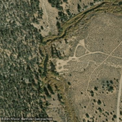
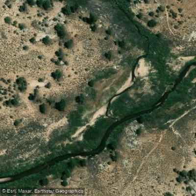
Learn how to get on South Fork Kern River. Uncover great paddling access points, boat ramps, and all the facilities you need for an unforgettable day on the water. Some locations shown may border or include private property. Always check property boundaries and applicable regulations before visiting. PaddleWays's Public & Private Land layer can help you plan your access with confidence.
Paddle smarter with real-time insights
Whether you're en route and conditions shift or you're looking for the best spot based on current flows, we enable you to make informed decisions on the fly.








Find Places to Paddle

Over 400,000 Places to Paddle
Every user gets free access to launch points, boat ramps, and public property parcels.


Water and weather conditions (10 day forecast)
See the best times to paddle South Fork Kern River and check the forecast before you go.
SF KERN R NR ONYX CA
Explore California waters
Top paddling waters
Popular Cities
Loading popular cities...
Explore near South Fork Kern River
Access points
- Kern River South Fork Access
- Kennedy Meadows Access
- Fish Creek tributary to South Fork Kern Access
- South Fork Kern River Bridge
- South Fork Kern River Bridge
- Highway 155 Bridge
- Kennedy Meadows Campground
- South Fork Rec Campground
- Paradise Cove Campground
- Isabella Lake Dispersed Camping Campground
- Paradise Cove Campground
- Boulder Gulch Campground
- All 37 spots
Nearby waters
More in California

Smarter Paddling Starts in the App.
Paddleways gives you everything you need to plan smarter, paddle better, and own every trip from first launch to takeout.