Piru Creek

Piru Creek
- Boat Ramps
- 2
- Access Points
- 6
- Campsites
- 25
Piru Creek is a significant waterway in Southern California, originating in the Los Padres National Forest and flowing south through Ventura and Los Angeles counties before joining the Santa Clara River. This 71-mile long stream drains a watershed of approximately 497 square miles, making it the largest tributary of the Santa Clara River system. The creek offers diverse paddling opportunities across several distinct sections.
The Upper Piru Creek, including Gold Hill Gorge and Hard Luck Gorge, provides challenging Class IV-V whitewater suitable for expert kayakers. The 15-mile stretch from Gold Hill Road to Pyramid Lake features technical rapids and scenic canyon views. Below Pyramid Dam, the creek transitions to a more moderate Class III-IV run for 7.25 miles to Frenchman's Flat, part of which is designated as a Wild & Scenic River. The remote 19.3-mile Wilderness Run from Frenchman's Flat to Lake Piru offers a true backcountry experience with Class IV rapids. The final 4-mile section from Lake Piru to the Santa Clara River confluence provides an easier Class II float.
Piru Creek's flow is heavily influenced by releases from Pyramid Lake and seasonal rainfall. The best paddling conditions typically occur in spring and early summer, with some sections only runnable after significant precipitation. The creek's ecosystem supports diverse flora and fauna, including endangered species and wild trout populations. Notable landmarks include the spectacular Falls Gorge and unique geological formations throughout the canyon.
Primary access points are located at Gold Hill Road, Pyramid Lake, Frenchman's Flat Campground, and Lake Piru, all within an hour's drive of Los Angeles. The creek holds cultural significance as one of the first Wild & Scenic Rivers designated in Los Angeles County, reflecting its importance for recreation and conservation.
Safety considerations are paramount, especially in the more remote sections where rescue access is limited. Paddlers should be aware of variable water releases from dams and check current conditions before embarking. Some areas require an Adventure Pass for parking. For those seeking a multi-day adventure, the Wilderness Run from Frenchman's Flat to Lake Piru offers an excellent backcountry trip, though it requires careful planning and self-sufficiency. This section showcases the raw beauty of Southern California's rugged landscape and provides a rare opportunity for extended wilderness paddling in the region.
Piru Creek's combination of challenging whitewater, scenic beauty, and proximity to urban areas makes it a prized destination for Southern California paddlers, offering experiences ranging from day trips to extended wilderness adventures.
Water access, boat ramps & amenities
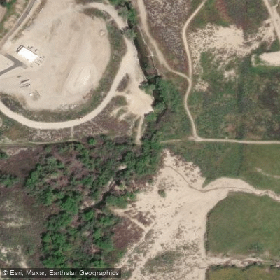
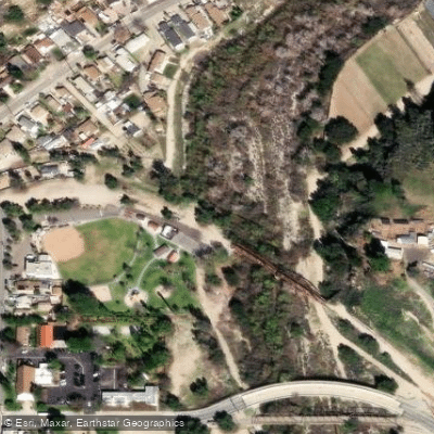
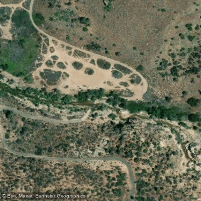
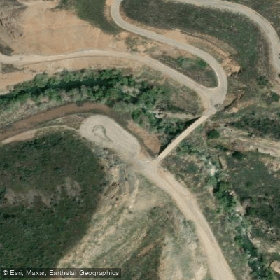
Learn how to get on Piru Creek. Uncover great paddling access points, boat ramps, and all the facilities you need for an unforgettable day on the water. Some locations shown may border or include private property. Always check property boundaries and applicable regulations before visiting. PaddleWays's Public & Private Land layer can help you plan your access with confidence.
Paddle smarter with real-time insights
Whether you're en route and conditions shift or you're looking for the best spot based on current flows, we enable you to make informed decisions on the fly.








Find Places to Paddle

Over 400,000 Places to Paddle
Every user gets free access to launch points, boat ramps, and public property parcels.


Water and weather conditions (10 day forecast)
See the best times to paddle Piru Creek and check the forecast before you go.
PIRU C AB FRENCHMANS FLAT CA
All Flow Stations
Paddling near Piru Creek
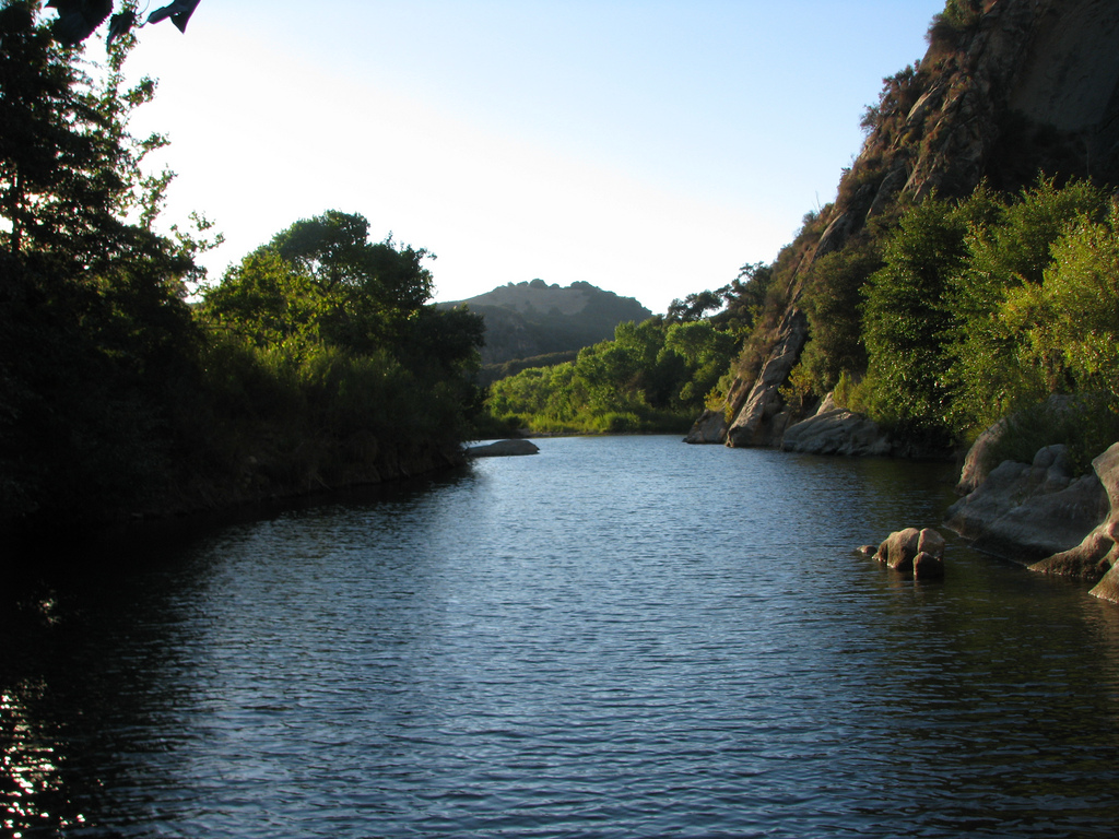
Santa Ynez River
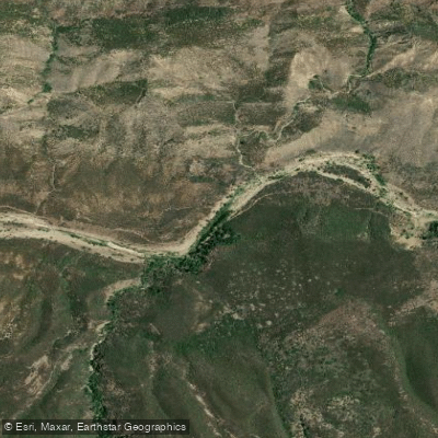
Sespe Creek
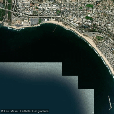
Pierpont Bay
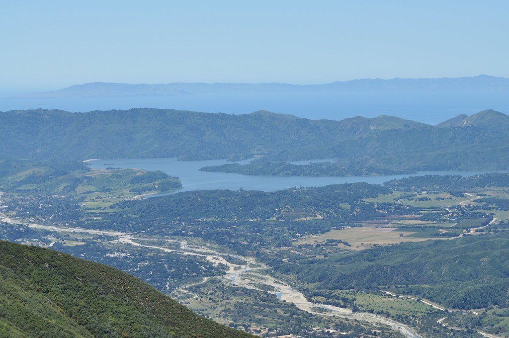
Lake Casitas
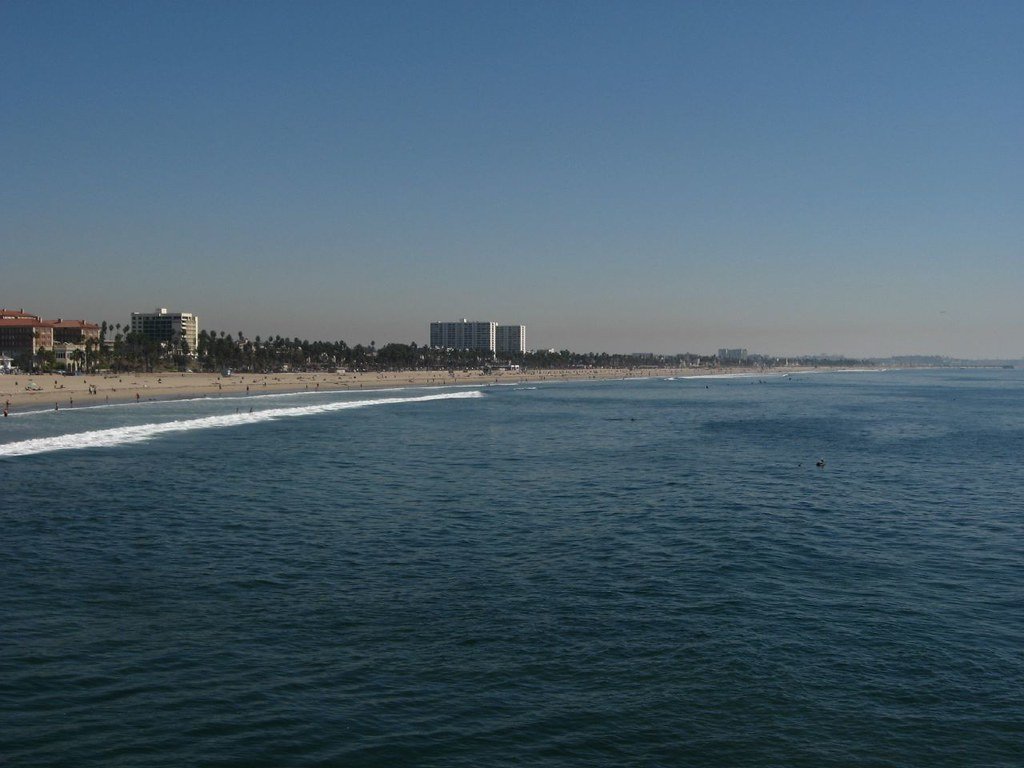
Santa Monica Bay
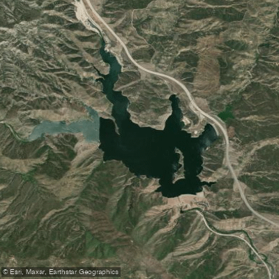
Pyramid Lake
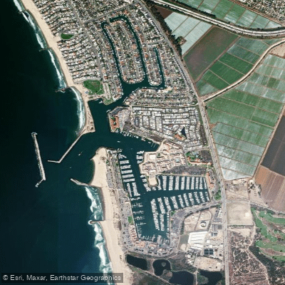
Ventura Harbor
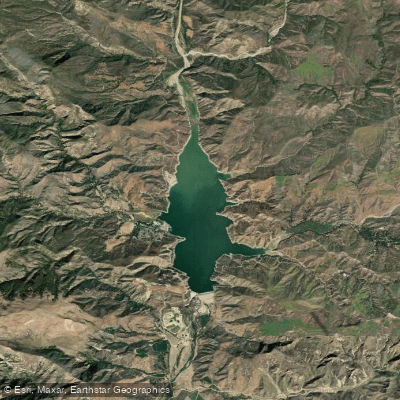
Lake Piru
Explore California waters
Top paddling waters
Popular Cities
Loading popular cities...
Explore near Piru Creek
Access points
Nearby waters
More in California

Smarter Paddling Starts in the App.
Paddleways gives you everything you need to plan smarter, paddle better, and own every trip from first launch to takeout.