Lake Ming
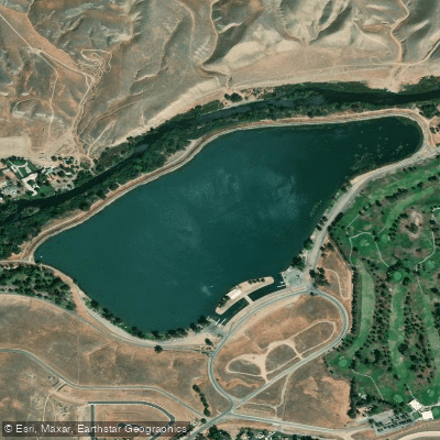
Lake Ming
- Boat Ramps
- 1
- Access Points
- 3
- Campsites
- 2
Lake Ming is a 104-acre man-made lake located 10 miles northeast of Bakersfield, California. Dedicated in 1959, the lake is surrounded by hills with views of the Greenhorn Mountains stretching along the eastern horizon. The lake features two landscaped shorelines and designated boat launch ramps with abundant parking available.
Paddling access requires a Kern County Boat Permit ($60 annually) and California registration sticker. Important regulations restrict boat access to designated launch sites, and inflatables are not permitted. The lake operates under specific timing restrictions - sailboats are only allowed during the second full weekend of each month and on Tuesdays and Thursdays after 1:30 PM, while motorboats operate during other times.
Wildlife viewing opportunities include mule deer, raccoons, coyotes, foxes, and both golden and bald eagles. The lake is stocked with rainbow trout (10-12 inches) during fall and winter months, while bass, catfish, and carp are present during summer months.
Facilities include restrooms, drinking fountains, picnic tables, and barbecue grills along the shoreline. The lake is closed approximately 35 days per year for special boating events, so checking ahead is recommended.
Notable hazards include parasites in the untreated water that can cause skin rashes for water users. Swimming is prohibited. Additionally, the lake can become crowded with motorized craft during permitted times, requiring paddlers to be vigilant about boat traffic.
Due to the timing restrictions and motorized boat usage, paddlers should plan their visits during the designated sailboat periods when motorized traffic is reduced. The lake's proximity to Bakersfield makes it a convenient destination, though the experience is more oriented toward powered watercraft than peaceful paddling.
Water access, boat ramps & amenities
Learn how to get on Lake Ming. Uncover great paddling access points, boat ramps, and all the facilities you need for an unforgettable day on the water. Some locations shown may border or include private property. Always check property boundaries and applicable regulations before visiting. PaddleWays's Public & Private Land layer can help you plan your access with confidence.
Paddle smarter with real-time insights
Whether you're en route and conditions shift or you're looking for the best spot based on current flows, we enable you to make informed decisions on the fly.








Find Places to Paddle

Over 400,000 Places to Paddle
Every user gets free access to launch points, boat ramps, and public property parcels.


Water and weather conditions (10 day forecast)
See the best times to paddle Lake Ming and check the forecast before you go.
No forecast data available.
Paddling near Lake Ming
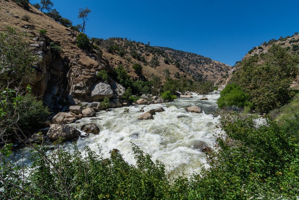
Kern River
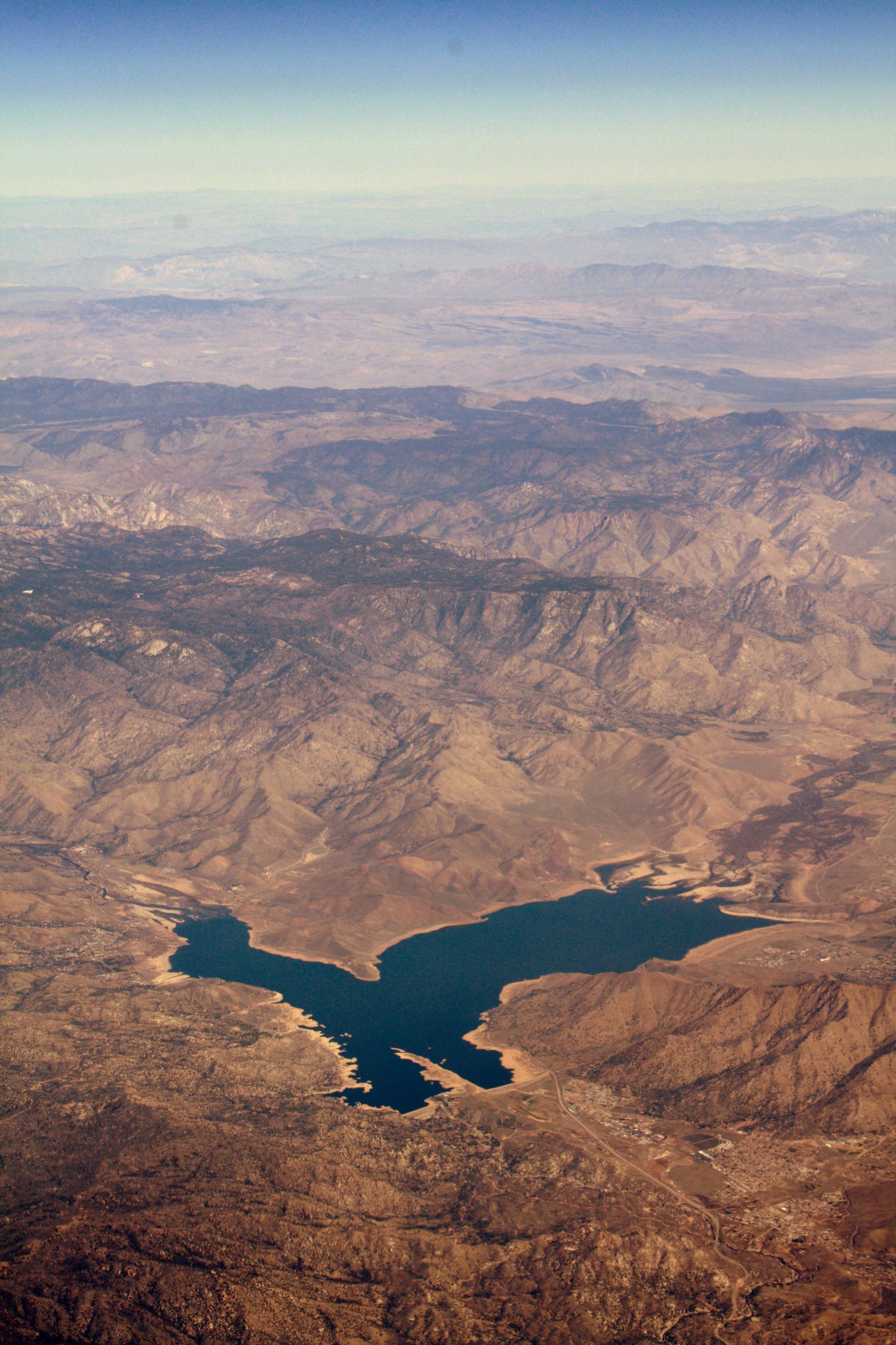
Isabella Lake
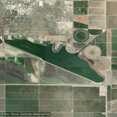
Lake Webb
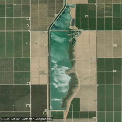
Lake Woollomes
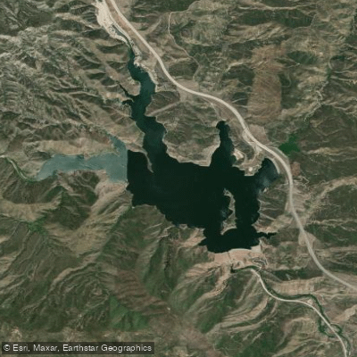
Pyramid Lake

Piru Creek
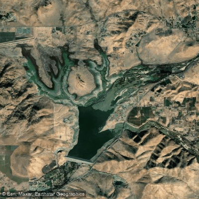
Lake Success
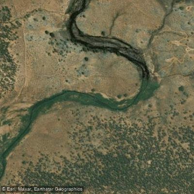
South Fork Kern River
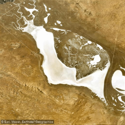
Soda Lake
Explore California waters
Top paddling waters
Popular Cities
Loading popular cities...
Explore near Lake Ming
Access points
Nearby waters
More in California

Smarter Paddling Starts in the App.
Paddleways gives you everything you need to plan smarter, paddle better, and own every trip from first launch to takeout.