Boulder Creek
Boulder Creek
- Boat Ramps
- 2
- Access Points
- 22
- Campsites
- 3
Boulder Creek originates at the confluence of North Boulder Creek and Middle Boulder Creek approximately five miles west of Boulder, Colorado, at an elevation near 5,940 feet. The creek flows eastward through Boulder Canyon, cutting through the Front Range foothills before entering the city of Boulder. From there, it continues northeast across the plains of Boulder and Weld counties, eventually joining Saint Vrain Creek at an elevation of approximately 1,478 feet.
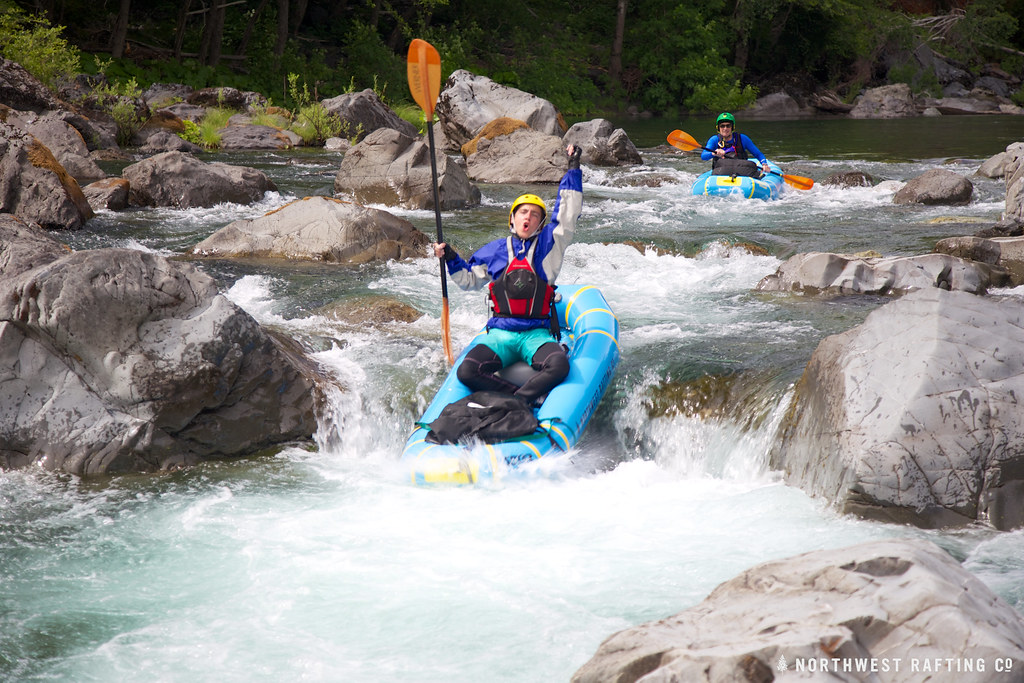
The creek's character transforms dramatically along its 31.4-mile journey. Within Boulder Canyon, the waterway rushes through granite formations and steep terrain, creating technical whitewater sections. As it emerges onto the plains near the mouth of Boulder Canyon at Eben G. Fine Park, the gradient moderates considerably. The urban corridor through Boulder features a popular stretch from Eben G. Fine Park downstream to 55th Street, rated Class III, where kayakers practice playboating techniques in manufactured and natural features. Below the city, Boulder Creek transitions to agricultural lands and open space, with gentler gradients averaging 50 feet per mile.
Paddling opportunities center on the urban section near Eben G. Fine Park, which attracts intermediate kayakers seeking technical practice on accessible Class III rapids. The narrow, boulder-strewn channel requires precise boat control and is generally too tight for rafting. Minimum flows of around 150-400 cubic feet per second provide optimal conditions, typically occurring May through June during snowmelt runoff. Higher flows can push difficulty ratings upward and create hazardous conditions.
The creek corridor supports riparian vegetation including plains cottonwoods, willows, and various native shrubs. Wildlife sightings may include deer, raccoons, various bird species including hawks and herons, and occasional foxes. The 2016 restoration project below Barker Dam reestablished native plant communities along a 6,000-foot section.
Boulder Creek flows directly through downtown Boulder, passing landmarks like the Boulder Public Library and Central Park. The Boulder Creek Path parallels much of the waterway, providing bike and pedestrian access. Upstream, Barker Reservoir supplies approximately 40 percent of Boulder's drinking water.
Access points include Eben G. Fine Park at the canyon mouth, various bridges along the urban corridor including 30th Street and 55th Street, and the Black Bear Inn area in Lyons where Boulder Creek meets Saint Vrain Creek.
The watershed has supported human activity for millennia, serving Indigenous peoples before European settlement during the 1859 Colorado Gold Rush. Extensive water diversions for agriculture and municipal use significantly reduce flows east of Boulder, with numerous ditches removing water throughout the lower reaches.
Paddlers should monitor flows carefully, as the creek can become dangerously high during spring runoff or flash flood events. Low-water bridges downstream pose serious hazards during elevated flows. All standard Colorado boating regulations apply.
Water access, boat ramps & amenities
Learn how to get on Boulder Creek. Uncover great paddling access points, boat ramps, and all the facilities you need for an unforgettable day on the water. Some locations shown may border or include private property. Always check property boundaries and applicable regulations before visiting. PaddleWays's Public & Private Land layer can help you plan your access with confidence.
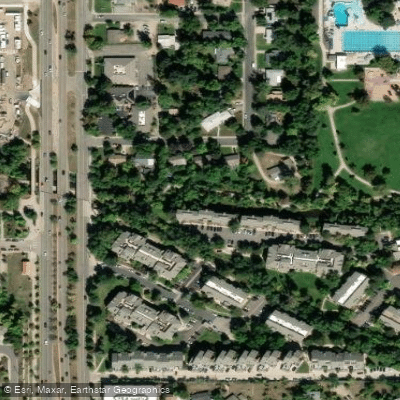
Boulder Creek Path 28th to 30th Access
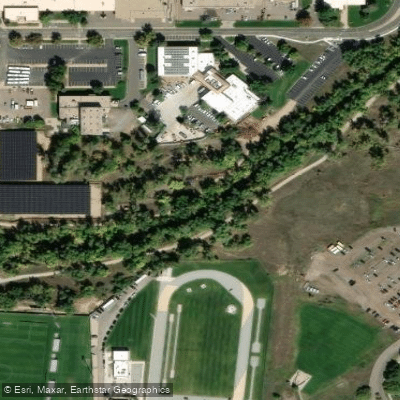
Boulder Creek Path 30th to Arapahoe Access
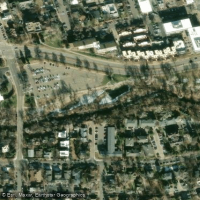
Evert Pierson Kids Fishing Ponds Access
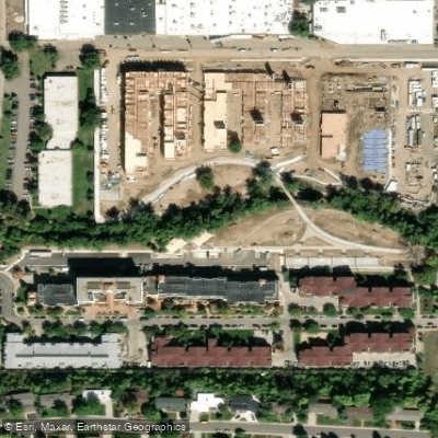
Boulder Creek Path Folsom to 28th Access
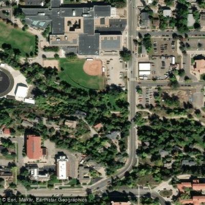
Swoboda Memorial Access
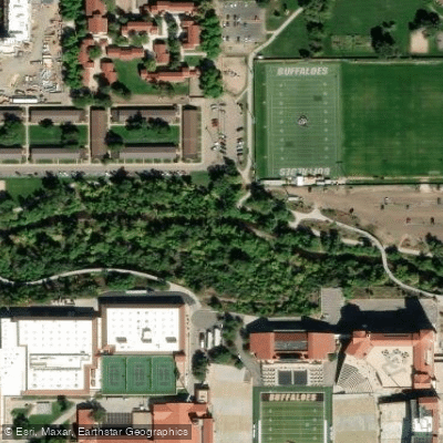
Boulder Creek Path 17th to Folsom Access
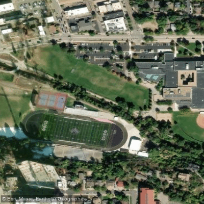
Boulder Creek Path Boulder High Access
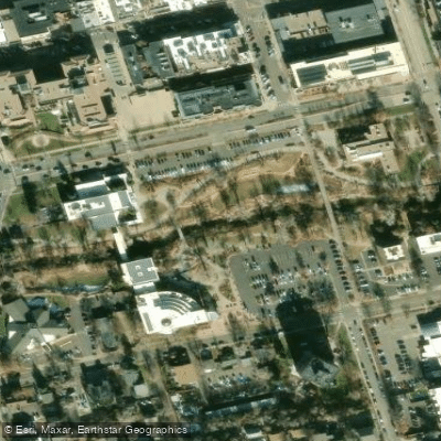
Civic Park Access
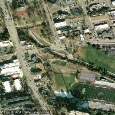
Pizza Parcels Access
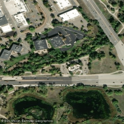
Boulder Creek Path Arapahoe to Foothills Access
Paddle smarter with real-time insights
Whether you're en route and conditions shift or you're looking for the best spot based on current flows, we enable you to make informed decisions on the fly.








Find Places to Paddle

Over 400,000 Places to Paddle
Every user gets free access to launch points, boat ramps, and public property parcels.


Water and weather conditions (10 day forecast)
See the best times to paddle Boulder Creek and check the forecast before you go.
ANDERSON DITCH
All Flow Stations
Paddling near Boulder Creek
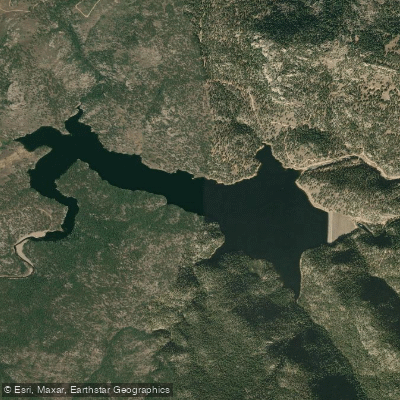
Button Rock Reservoir
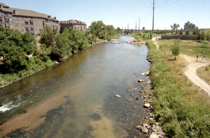
South Platte River
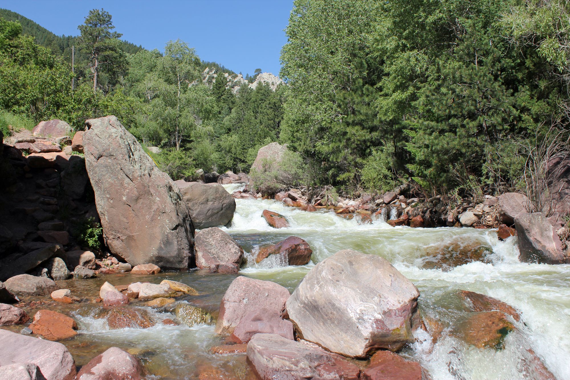
South Boulder Creek
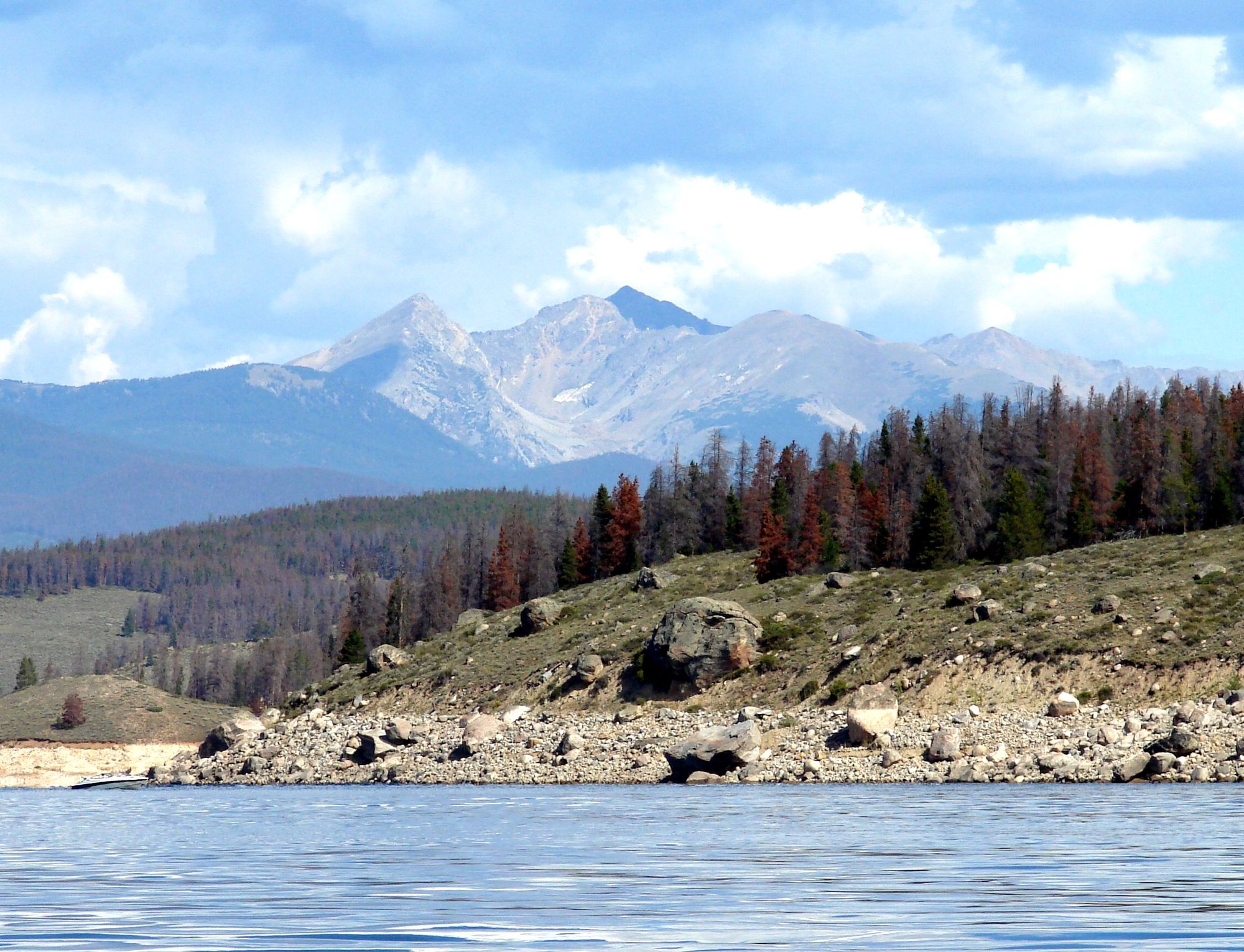
Lake Granby

Colorado River
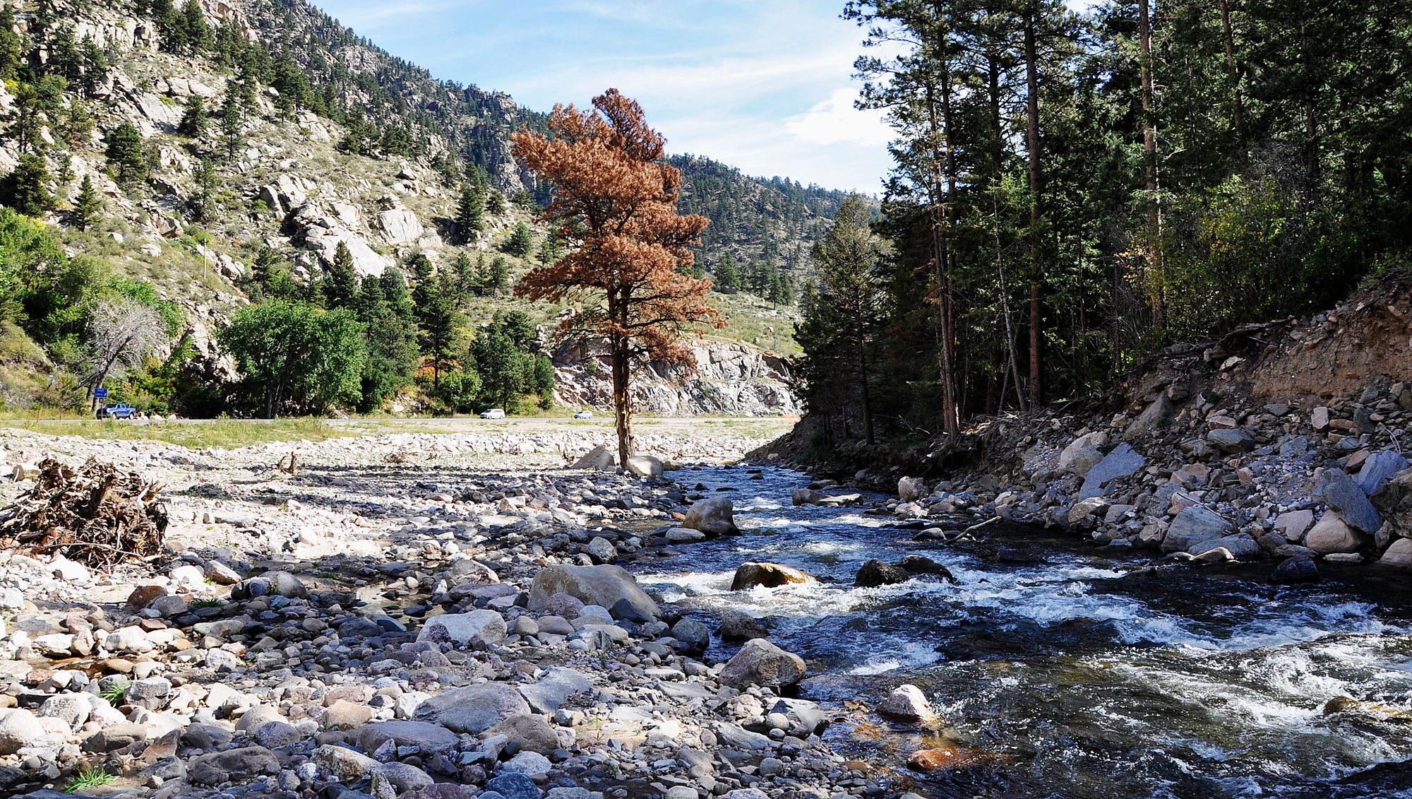
Big Thompson River
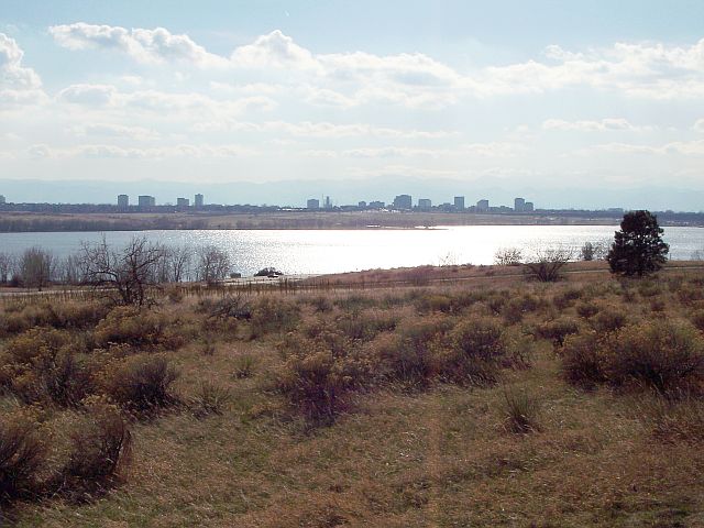
Cherry Creek Lake
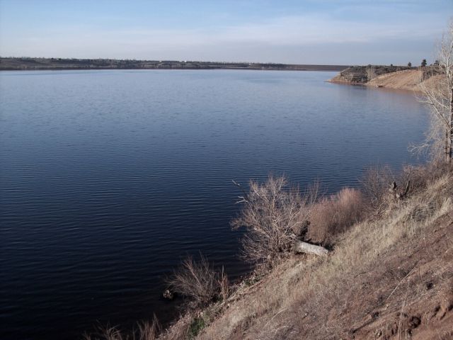
Chatfield Lake
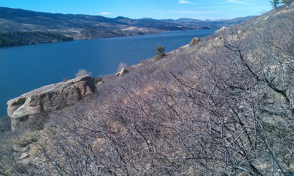
Horsetooth Reservoir
Explore Colorado waters
Top paddling waters
Popular Cities
Loading popular cities...
Explore near Boulder Creek
Access points
- Boulder Whitewater Course Takeout
- Boulder Whitewater Course Put-in
- Boulder Creek Path 28th to 30th Access
- Boulder Creek Path 30th to Arapahoe Access
- Evert Pierson Kids Fishing Ponds Access
- Boulder Creek Path Folsom to 28th Access
- Swoboda Memorial Access
- Boulder Creek Path 17th to Folsom Access
- Boulder Creek Path Boulder High Access
- Civic Park Access
- Pizza Parcels Access
- Boulder Creek Path Arapahoe to Foothills Access
- All 71 spots
Nearby waters
More in Colorado

Smarter Paddling Starts in the App.
Paddleways gives you everything you need to plan smarter, paddle better, and own every trip from first launch to takeout.