South Platte River
South Platte River
- Boat Ramps
- 1
- Access Points
- 21
- Campsites
- 30
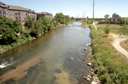
The South Platte River is a diverse and dynamic waterway that flows through Colorado and Nebraska, offering a wide range of paddling experiences for all skill levels. Beginning in the Rocky Mountains of central Colorado, the river winds its way northeast through varied landscapes before joining the North Platte River in Nebraska.
In Colorado, the South Platte River provides numerous paddling opportunities, from challenging whitewater sections to calm flatwater stretches. The upper reaches of the river, particularly in Park County, feature some of the most technical whitewater, with sections like the Bailey to Pine run offering Class IV-V rapids that test even experienced paddlers.
As the river descends from the mountains, it transitions into more moderate Class II-III runs, such as the popular Deckers Chutes section near the town of Deckers. The Deckers Chutes, a 12-16 mile stretch, exemplifies the river's versatility. This section features a mix of calm water and exciting rapids, including the namesake "Chutes" rapid, a Class II+/III- rollercoaster through large boulders. Surrounded by Pike National Forest, this area offers scenic views and is a favorite among Denver-area paddlers for day trips or overnight adventures.
As the South Platte River approaches Denver, it transforms into an urban paddling destination. The Denver Urban Section, a 5.4-mile stretch from Chatfield Reservoir to Confluence Park, provides a unique experience of paddling through the heart of the city. This section is generally calm with a few short Class II rapids, making it suitable for beginners and families.
The river's character changes dramatically as it enters the plains of eastern Colorado and Nebraska. Here, the South Platte River becomes a wide, shallow river, often described as "a mile wide and an inch deep." These stretches, such as the section from North Bend to Fremont in Nebraska, offer peaceful flatwater paddling experiences ideal for canoes and recreational kayaks.
Seasonal considerations play a significant role in paddling the South Platte River. In Colorado, the best paddling is typically from late spring through early fall, with peak flows often occurring in June due to snowmelt. The urban and plains sections can often be paddled for a more extended season, but water levels can fluctuate significantly based on irrigation needs and rainfall.
The South Platte River corridor supports a rich ecosystem. In the mountain sections, paddlers might spot bighorn sheep, mule deer, and various bird species. The urban stretches, surprisingly, also host diverse wildlife, with bald eagles and waterfowl frequently sighted. The plains sections are known for their cottonwood-lined banks, providing habitat for numerous bird species.
Several notable landmarks punctuate the river's course. Eleven Mile Canyon, southwest of Denver, offers a picturesque setting with its towering rock walls. Confluence Park in Denver marks the historic birthplace of the city, where Cherry Creek joins the South Platte River. In Nebraska, the river passes through the scenic South Platte River Trail Byway near Julesburg, an area rich in pioneer history.
Access to the river is generally good, with numerous put-in and take-out points. Key towns along the river include Deckers, Denver, and Littleton in Colorado, and North Bend and Fremont in Nebraska. These communities serve as gateways to different sections of the river and offer amenities for paddlers.
Safety considerations vary depending on the section. In the mountain whitewater areas, proper equipment and experience are essential. All paddlers should be aware of potential hazards such as low-head dams, especially in the more developed areas. It's crucial to check current flow rates and weather conditions before embarking on any trip.
For those seeking multi-day adventures, the South Platte River offers several options. A popular multi-day trip in Colorado is the stretch from Deckers to the confluence with the North Fork, which can be extended further downstream. In Nebraska, paddlers can tackle the 55-mile water trail from North Bend to Louisville, offering a longer flatwater journey through the plains.
The South Platte River, with its diverse sections and rich history, provides a paddling experience that mirrors the changing landscape of the American West. From mountain rapids to urban waterways and expansive plains, it offers something for every type of paddler, making it a cherished resource for outdoor enthusiasts in Colorado and Nebraska.
Water access, boat ramps & amenities
Learn how to get on South Platte River. Uncover great paddling access points, boat ramps, and all the facilities you need for an unforgettable day on the water. Some locations shown may border or include private property. Always check property boundaries and applicable regulations before visiting. PaddleWays's Public & Private Land layer can help you plan your access with confidence.
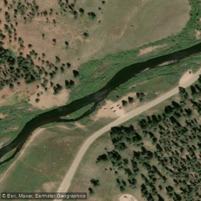
Deckers Access
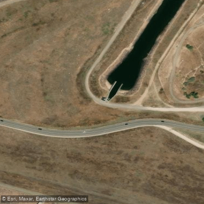
Dam Outlet Access
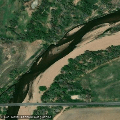
Brower State Wildlife Area Access
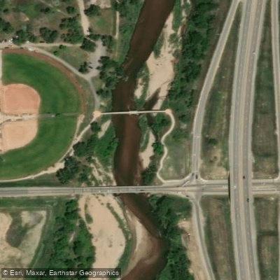
Fort Lupton Access
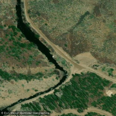
Waterton Canyon Trailhead Access
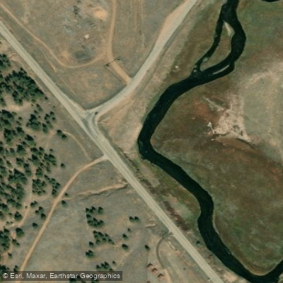
Lake George Access
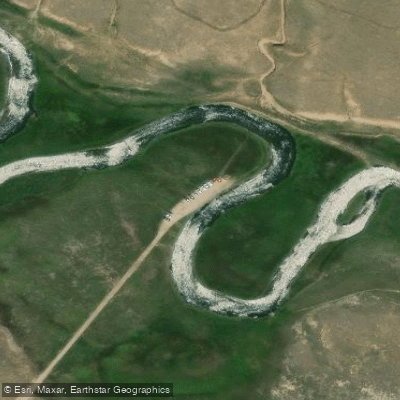
South Platte Access
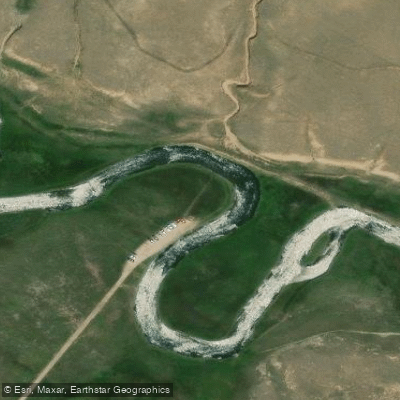
Spinney Mountain Ranch Access
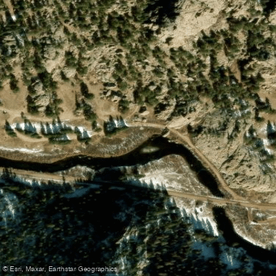
Spillway Campground Access
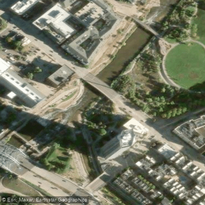
Confluence Park Access
Paddle smarter with real-time insights
Whether you're en route and conditions shift or you're looking for the best spot based on current flows, we enable you to make informed decisions on the fly.








Find Places to Paddle

Over 400,000 Places to Paddle
Every user gets free access to launch points, boat ramps, and public property parcels.


Water and weather conditions (10 day forecast)
See the best times to paddle South Platte River and check the forecast before you go.
SOUTH PLATTE RIVER ABOVE CHEESMAN LAKE, CO.
All Flow Stations
Paddling near South Platte River
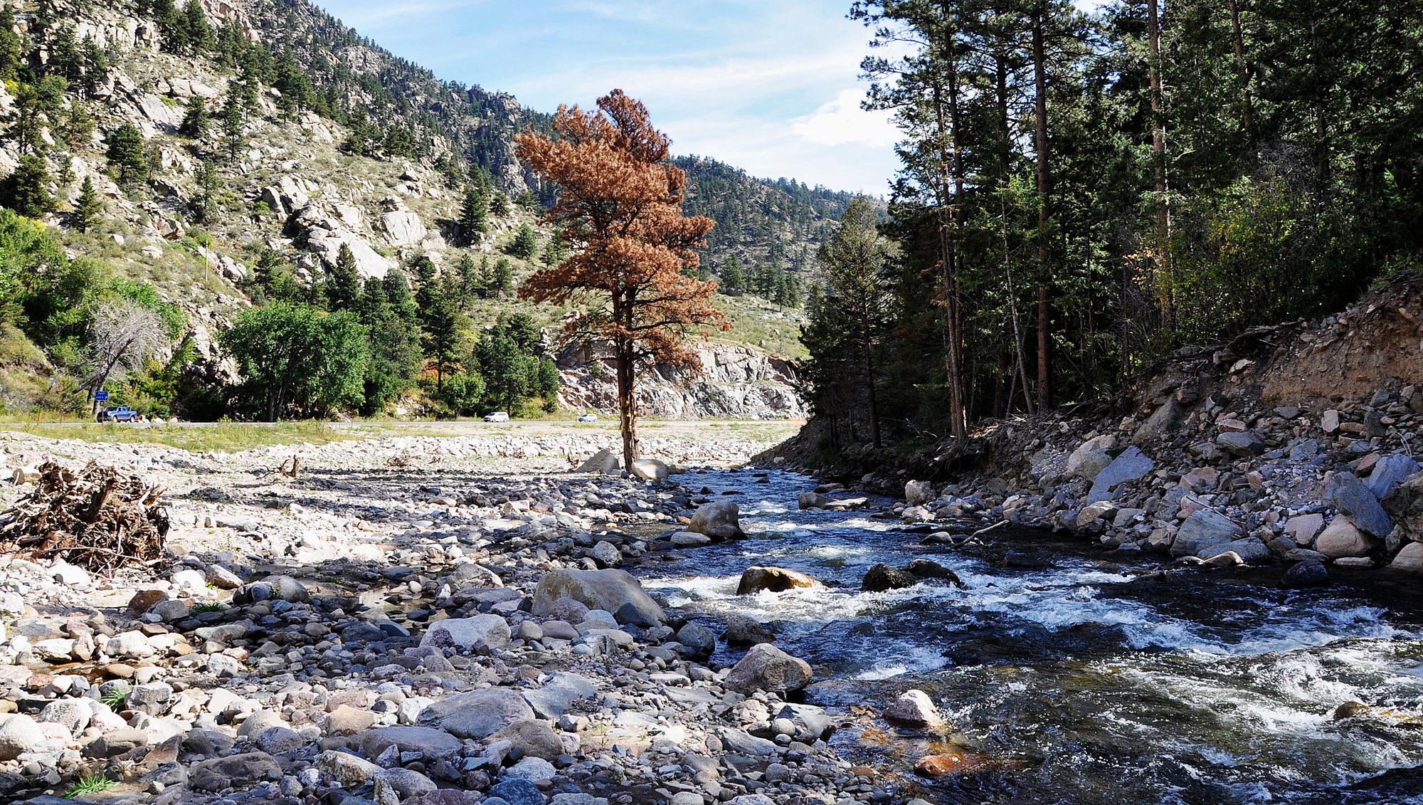
Big Thompson River
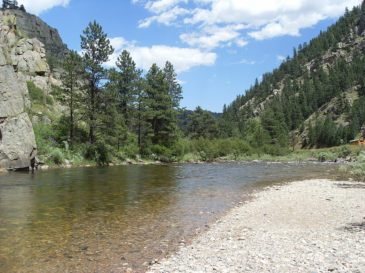
Cache la Poudre River
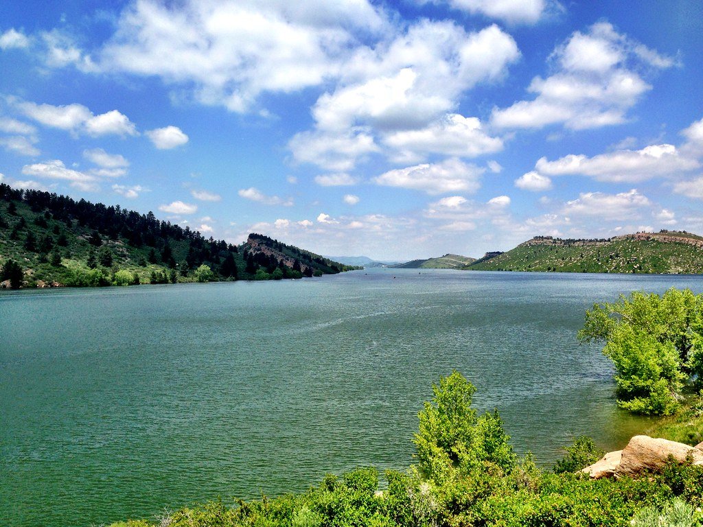
Horsetooth Reservoir
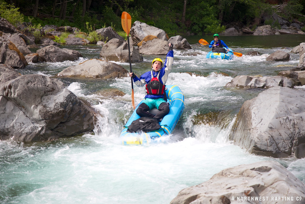
Boulder Creek
Jackson Reservoir
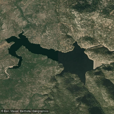
Button Rock Reservoir
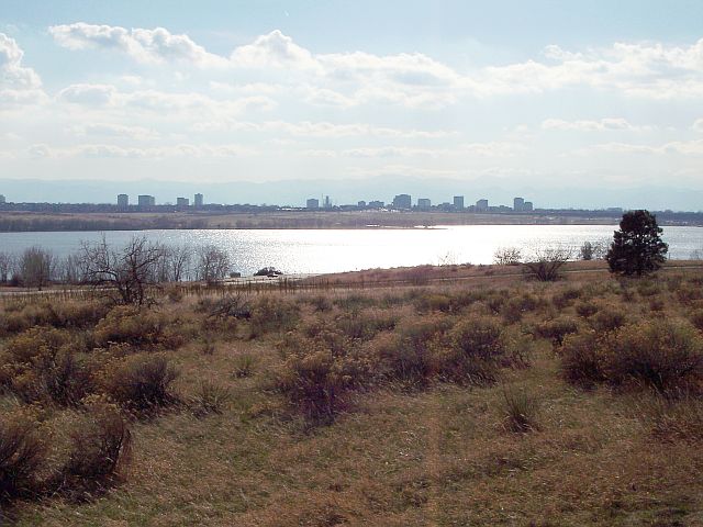
Cherry Creek Lake
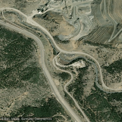
Clear Creek
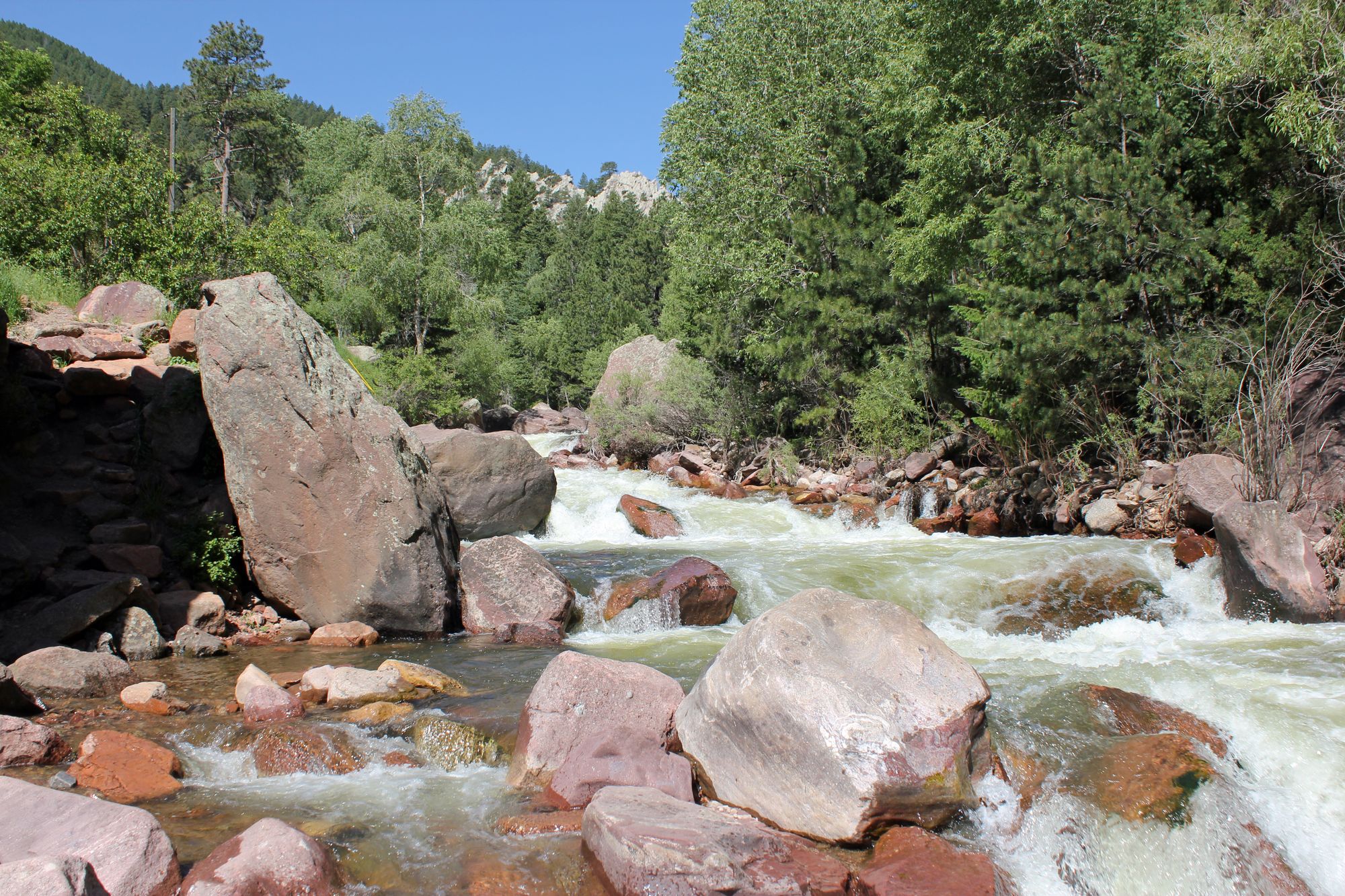
South Boulder Creek
Explore Colorado waters
Top paddling waters
Popular Cities
Loading popular cities...
Explore near South Platte River
Access points
Nearby waters
More in Colorado

Smarter Paddling Starts in the App.
Paddleways gives you everything you need to plan smarter, paddle better, and own every trip from first launch to takeout.