South Boulder Creek
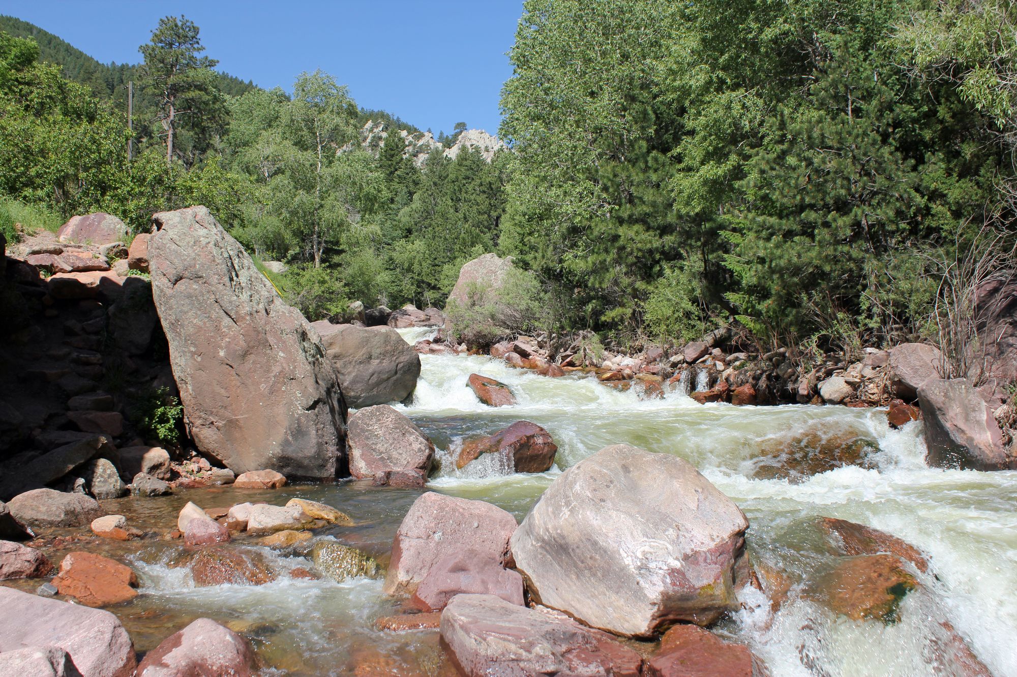
South Boulder Creek
- Boat Ramps
- 0
- Access Points
- 13
- Campsites
- 24
South Boulder Creek is a scenic and challenging waterway that originates high in the Rocky Mountains near Rogers Pass, flowing eastward through Boulder County, Colorado. This creek is a major tributary of Boulder Creek, joining it just east of the city of Boulder before eventually merging with St. Vrain Creek. The creek's journey spans approximately 40 miles, draining a significant portion of the South Boulder Creek watershed.
Paddling opportunities on South Boulder Creek range from extreme whitewater in its upper reaches to more moderate flows in lower sections. The creek is divided into several distinct paddling segments, each offering unique challenges and scenery. The Upper South Boulder Creek, also known as Alto-Alto, begins near Rollinsville and provides Class IV-V whitewater suitable only for expert kayakers. Downstream, the section above Gross Reservoir offers Class IV rapids with some Class V features. Below Gross Dam, South Boulder Creek transforms into a tailwater fishery before plunging into the renowned Eldorado Canyon section. This 1.4-mile stretch is infamous for its extremely difficult Class V+ rapids, featuring a steep 350 feet per mile gradient that attracts only the most skilled whitewater enthusiasts. The lower sections near the city of Boulder offer more accessible Class II-III rapids, popular for recreational tubing and family-friendly paddling.
The creek's flow is heavily influenced by snowmelt, with peak runoff typically occurring in late spring to early summer. Paddlers should be aware that water levels can fluctuate rapidly due to dam releases and seasonal variations. The best paddling times are generally from May to July, though some sections may be runnable into early fall.
South Boulder Creek flows through diverse ecosystems, from alpine forests to high desert landscapes. Wildlife such as mule deer, black bears, and various bird species can be spotted along its banks. The creek passes several notable landmarks, including the historic mining town of Eldora, Gross Reservoir, and Eldorado Canyon State Park, known for its world-class rock climbing.
Access points vary by section, with put-ins available near Rollinsville for the upper creek, at Pinecliffe for the middle section, and below Gross Dam for the lower portions. The city of Boulder serves as the primary nearby urban center, offering amenities and services for paddlers.
Safety is paramount on South Boulder Creek, especially in the more challenging sections. Paddlers should be prepared for cold water, have appropriate safety gear, and possess the necessary skills for the chosen section. Some areas may require scouting or portaging around particularly hazardous rapids. While primarily used for day trips, the creek's various sections can be combined for multi-day adventures for those with proper planning and logistics.
South Boulder Creek stands as a testament to Colorado's wild rivers, offering everything from extreme whitewater challenges to serene fishing spots, making it a cherished resource for outdoor enthusiasts in the Front Range region.
Water access, boat ramps & amenities
Learn how to get on South Boulder Creek. Uncover great paddling access points, boat ramps, and all the facilities you need for an unforgettable day on the water. Some locations shown may border or include private property. Always check property boundaries and applicable regulations before visiting. PaddleWays's Public & Private Land layer can help you plan your access with confidence.
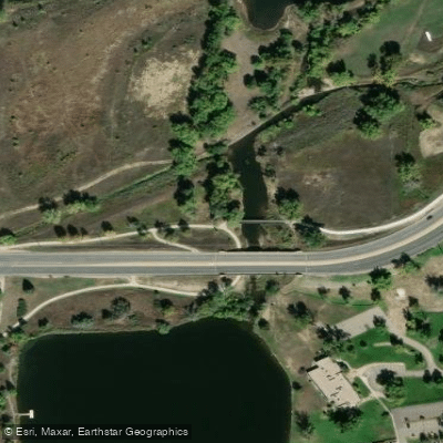
Boulder Access
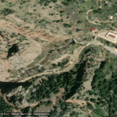
Streamside Access
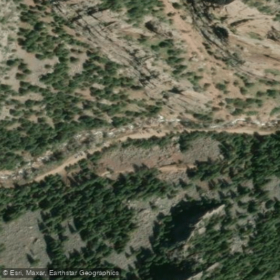
Milton's Boulder Access
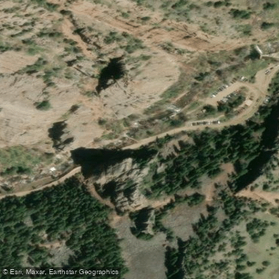
Main Access
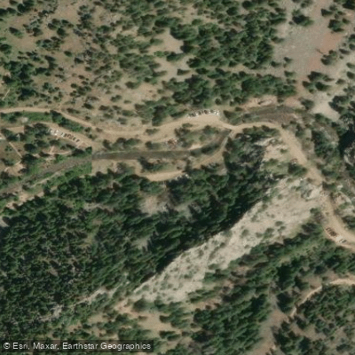
South Picnic Area Access
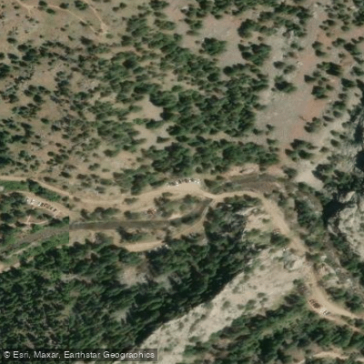
Rincon Access
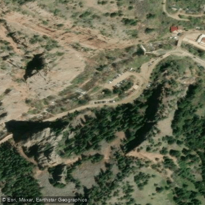
Main Access
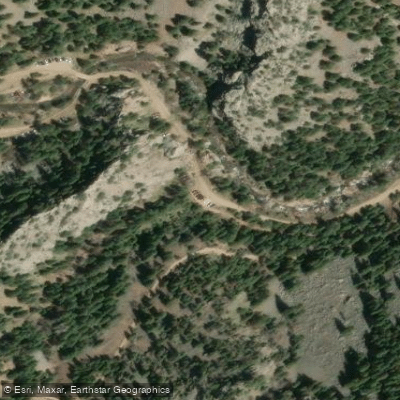
Fowler Access
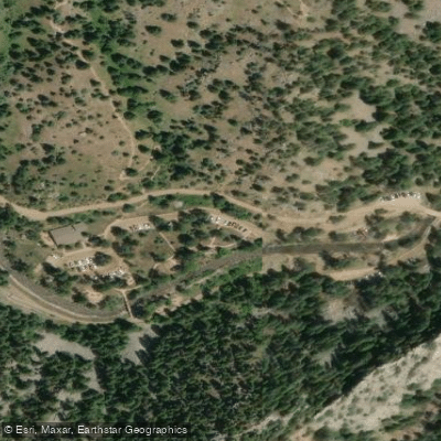
Eldorado Canyon State Park Access
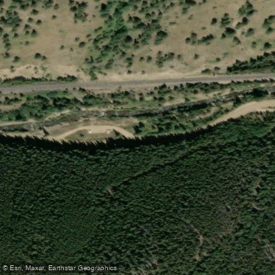
South Boulder Creek Access
Paddle smarter with real-time insights
Whether you're en route and conditions shift or you're looking for the best spot based on current flows, we enable you to make informed decisions on the fly.








Find Places to Paddle

Over 400,000 Places to Paddle
Every user gets free access to launch points, boat ramps, and public property parcels.


Water and weather conditions (10 day forecast)
See the best times to paddle South Boulder Creek and check the forecast before you go.
SOUTH BOULDER CR AT FOREBAY NR ELDORADO SPRINGS CO
All Flow Stations
Paddling near South Boulder Creek
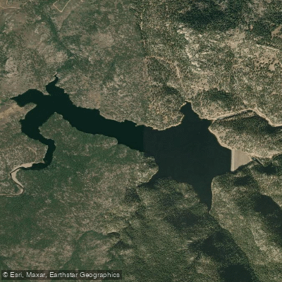
Button Rock Reservoir
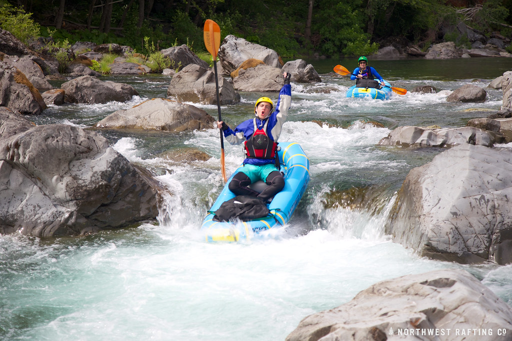
Boulder Creek
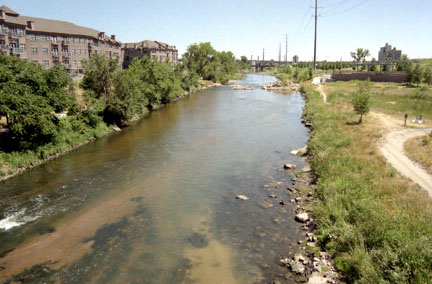
South Platte River
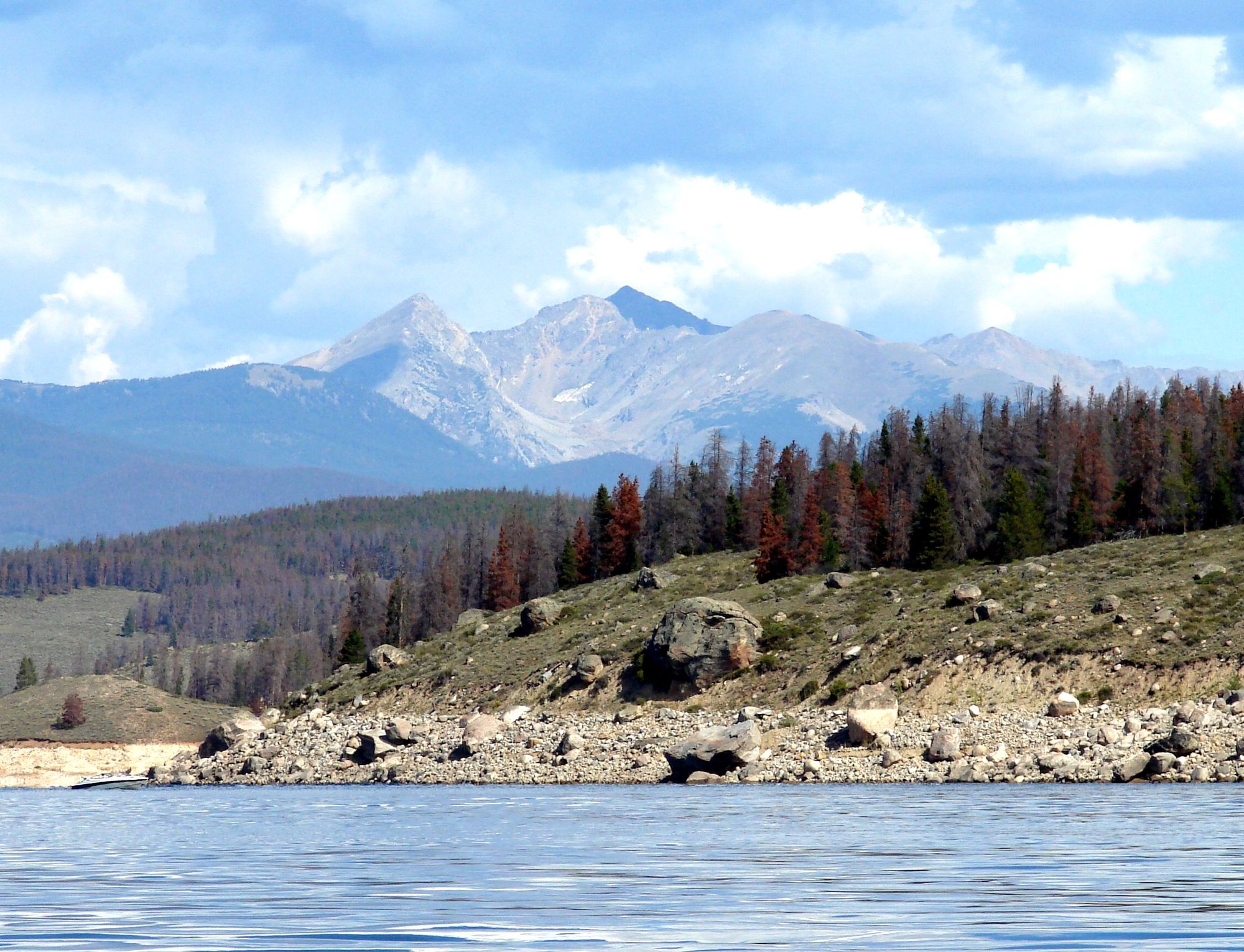
Lake Granby

Colorado River
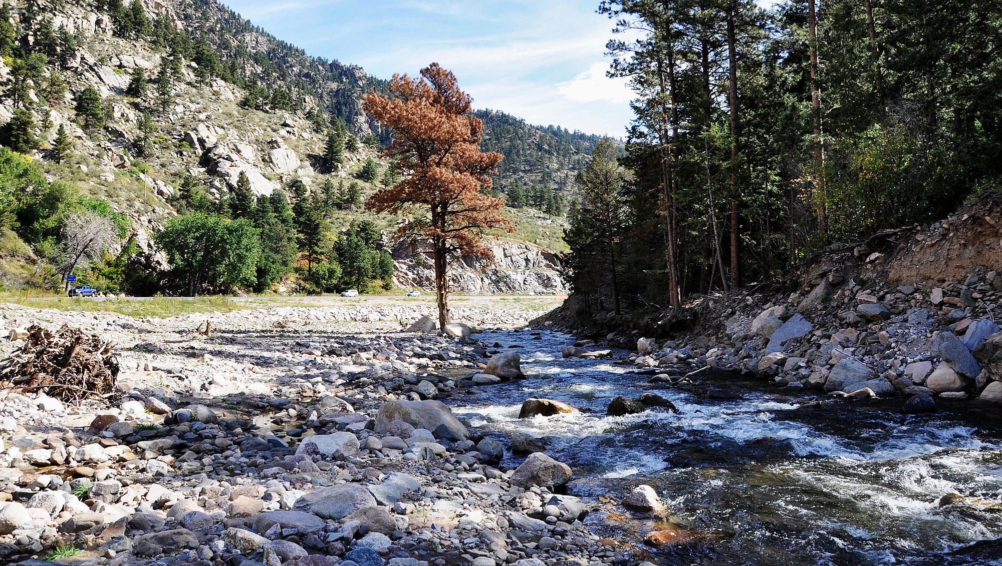
Big Thompson River
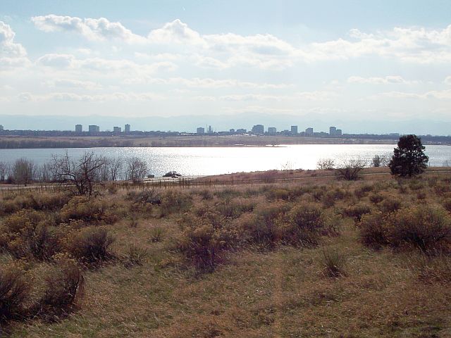
Cherry Creek Lake
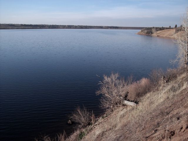
Chatfield Lake
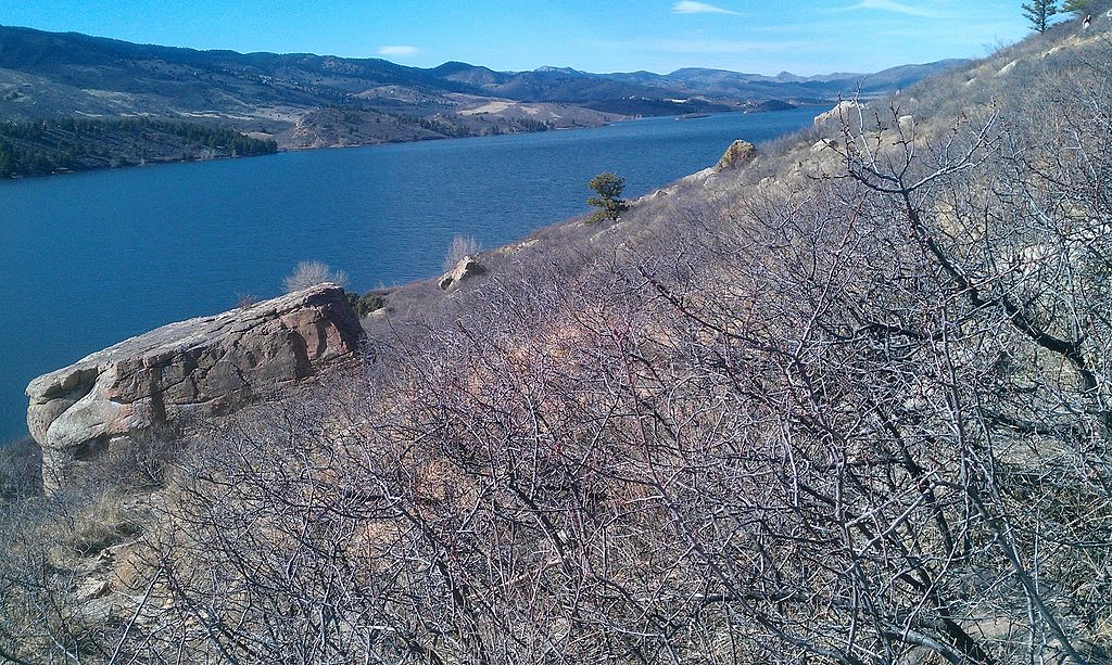
Horsetooth Reservoir
Explore Colorado waters
Top paddling waters
Popular Cities
Loading popular cities...
Explore near South Boulder Creek
Access points
Nearby waters
More in Colorado

Smarter Paddling Starts in the App.
Paddleways gives you everything you need to plan smarter, paddle better, and own every trip from first launch to takeout.