Button Rock Reservoir
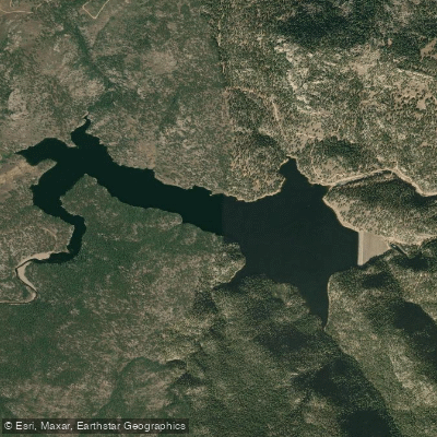
Button Rock Reservoir
- Boat Ramps
- 1
- Access Points
- 12
- Campsites
- 0
Button Rock Reservoir, located 7 miles west of Lyons, Colorado, is a protected drinking water supply reservoir where recreational paddling is prohibited. The reservoir and surrounding Button Rock Preserve are managed by the City of Longmont primarily to protect municipal water resources.
The 2,671-acre preserve contains both Ralph Price Reservoir (Button Rock) and Longmont Reservoir along the North Saint Vrain Creek. A city ordinance explicitly prohibits watercraft activity within the preserve, with one narrow exception - kayakers may pass through when entering from Upper North St. Vrain Creek upstream of Button Rock Dam, but must continuously move downstream without stopping.
The reservoir sits in a quiet river valley surrounded by diverse wildlife habitat. Visitors frequently observe eagles, osprey, great blue herons, and various waterfowl around the water. The surrounding preserve features steep canyon walls and forested slopes rising to nearly 7,500 feet elevation.
Access requires a two-mile hike from the main parking area, as vehicle access is restricted beyond the entrance gate. The preserve is open daily from 3:00 AM to 10:00 PM, though overnight parking is prohibited. Water temperatures can be quite cold even in summer, with readings as low as 53 degrees Fahrenheit reported.
While paddling is not permitted, the reservoir supports a managed fishing program from May through October (special permit required). The 2013 flood caused significant damage to the area, but restoration work has been completed on both the dam infrastructure and surrounding riparian zones.
Given its role as a critical municipal water supply and nature preserve, recreational paddling opportunities are not available at Button Rock Reservoir. Paddlers should seek alternative locations for water recreation.
Water access, boat ramps & amenities
Learn how to get on Button Rock Reservoir. Uncover great paddling access points, boat ramps, and all the facilities you need for an unforgettable day on the water. Some locations shown may border or include private property. Always check property boundaries and applicable regulations before visiting. PaddleWays's Public & Private Land layer can help you plan your access with confidence.
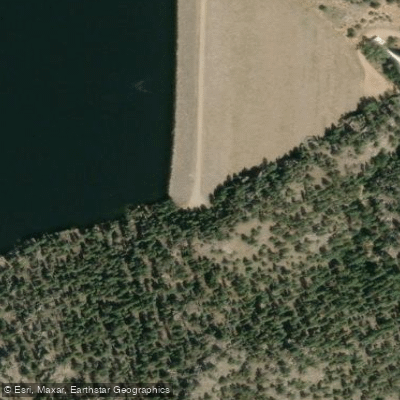
South Cove Trail Trailhead Access
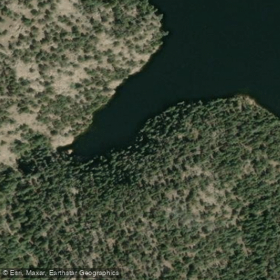
South Cove Trail Access
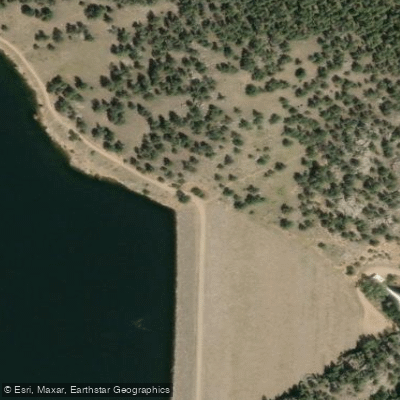
Button Rock Dam Access
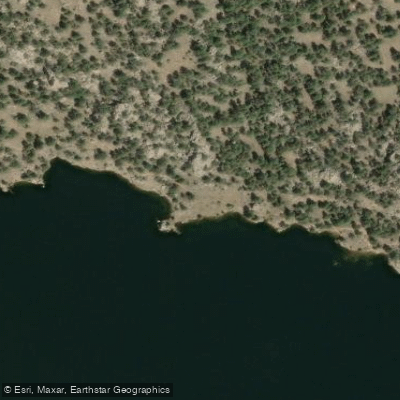
North Shore Trail Access
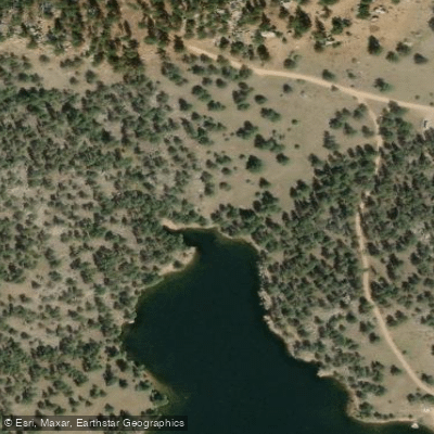
North Shore Trail Access
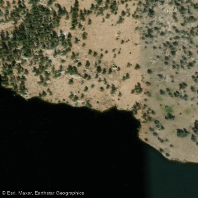
North Shore Trail Access
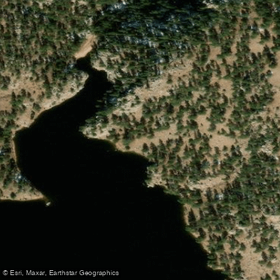
North Shore Trail Access
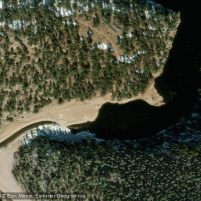
Inlet Loop Trail Access
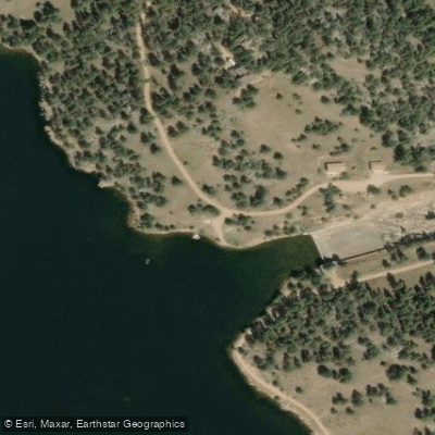
North Shore Trail Trailhead Access
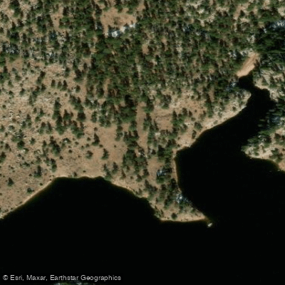
North Shore Trail Access
Paddle smarter with real-time insights
Whether you're en route and conditions shift or you're looking for the best spot based on current flows, we enable you to make informed decisions on the fly.








Find Places to Paddle

Over 400,000 Places to Paddle
Every user gets free access to launch points, boat ramps, and public property parcels.


Water and weather conditions (10 day forecast)
See the best times to paddle Button Rock Reservoir and check the forecast before you go.
BUTTONROCK (RALPH PRICE) RESERVOIR
All Flow Stations
Paddling near Button Rock Reservoir
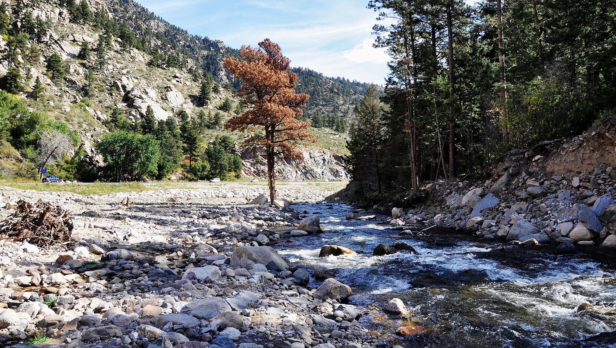
Big Thompson River

Colorado River
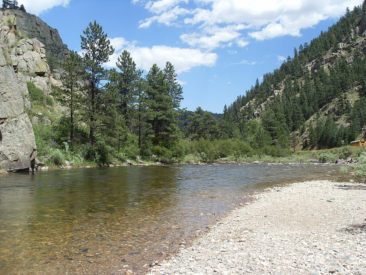
Cache la Poudre River
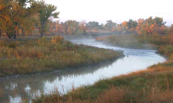
Laramie River
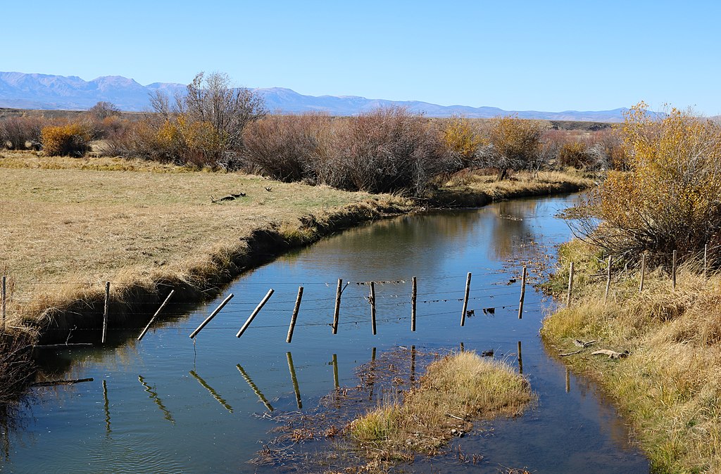
Michigan River
South Platte River
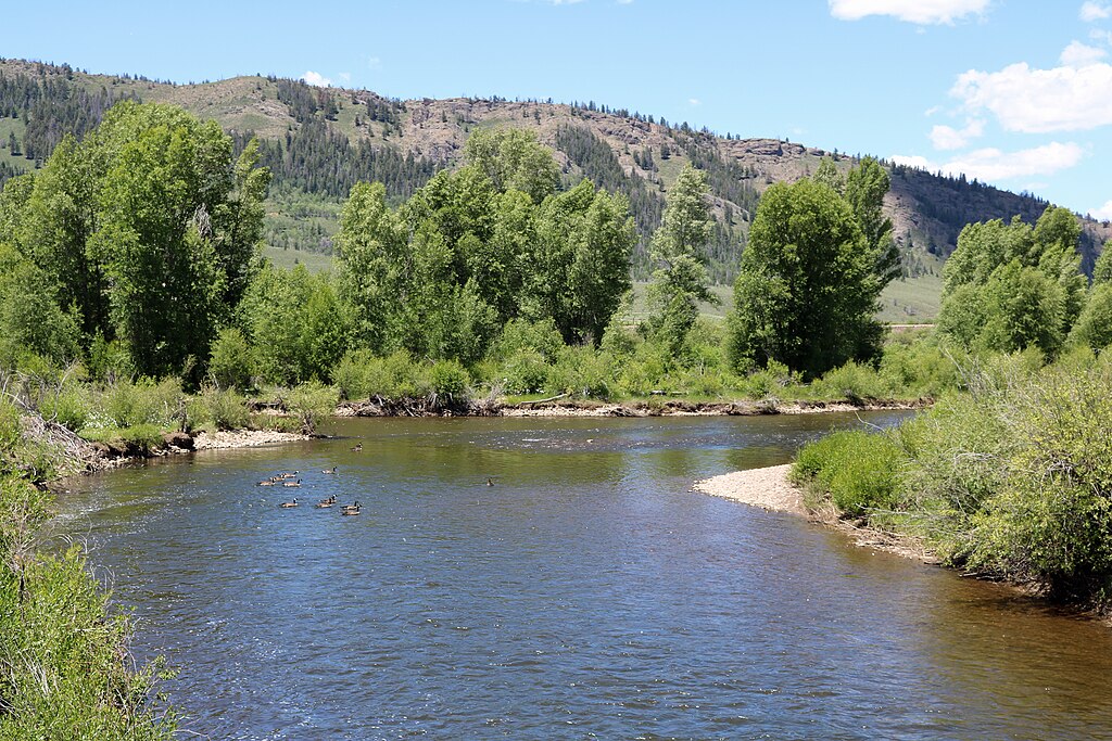
Fraser River
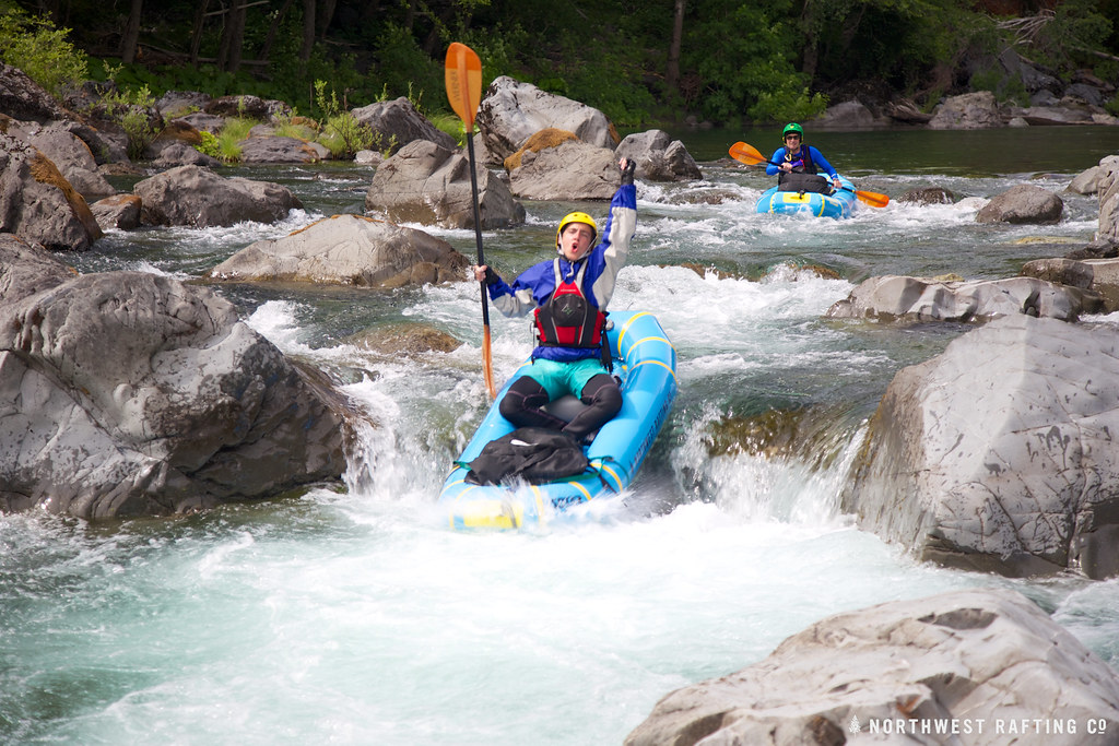
Boulder Creek
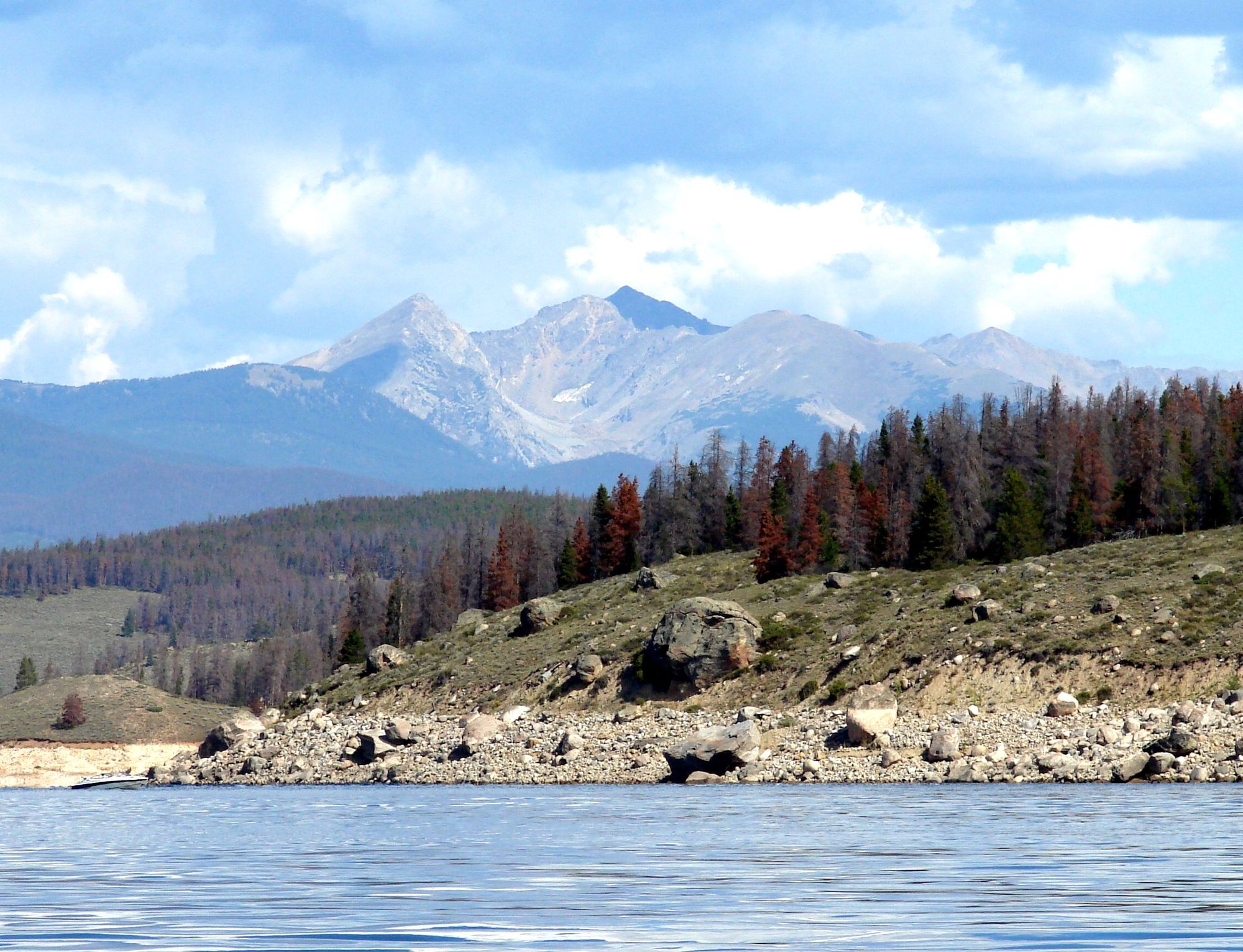
Lake Granby
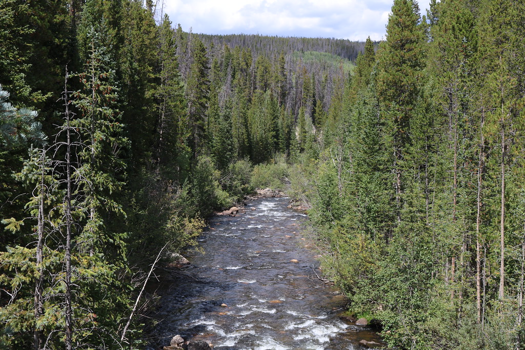
Joe Wright Creek
Explore Colorado waters
Top paddling waters
Popular Cities
Loading popular cities...
Explore near Button Rock Reservoir
Access points
- Button Rock Reservoir Boat Ramp
- South Cove Trail Trailhead Access
- South Cove Trail Access
- Button Rock Dam Access
- North Shore Trail Access
- North Shore Trail Access
- North Shore Trail Access
- North Shore Trail Access
- Inlet Loop Trail Access
- North Shore Trail Trailhead Access
- North Shore Trail Access
- North Shore Trail Access
- All 16 spots
Nearby waters
More in Colorado

Smarter Paddling Starts in the App.
Paddleways gives you everything you need to plan smarter, paddle better, and own every trip from first launch to takeout.