Buckeye Reservoir
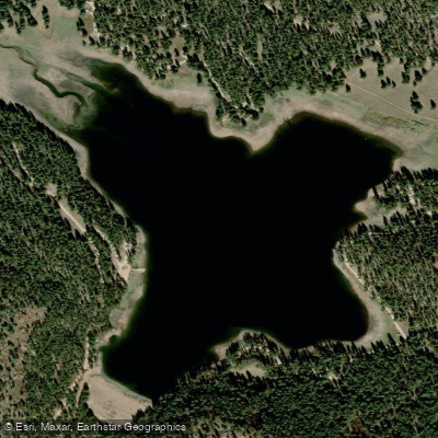
Buckeye Reservoir
- Boat Ramps
- 0
- Access Points
- 1
- Campsites
- 2
Buckeye Reservoir is a 109-acre lake situated at 7,600 feet elevation in Colorado's La Sal Mountains, directly adjacent to the Utah border. The lake supports non-motorized craft including kayaks, canoes, and stand-up paddleboards, with a public boat ramp providing access near the Pioneer Campground. Motorized boats are restricted to 5 HP engines and must maintain wakeless speed.
The reservoir is surrounded by mature ponderosa pines, offering a forested mountain backdrop. Water levels fluctuate throughout the year due to irrigation demands in the Paradox Valley. During drought conditions, low water levels can create muddy conditions near the shoreline. The lake is typically calm enough for paddling, though strong winds can occur, particularly in the afternoon.
Wildlife viewing opportunities include various bird species such as crossbills, nuthatches, warblers, and waterfowl. The reservoir is stocked with rainbow, brown, and cutthroat trout, making it possible to combine paddling with fishing (Colorado fishing license required).
Facilities include vault toilets, picnic tables, and a day-use area near the boat ramp. The Pioneer Campground offers 30 reservable sites for overnight stays. Swimming is explicitly prohibited in the reservoir.
Access requires navigating steep gravel roads that can become hazardous in adverse weather. The recommended route is via Highway 46 through Paradox, Colorado, then following Forest Service Road 0371 for 13 miles to the recreation area.
For paddlers seeking a multi-activity destination, the surrounding area features hiking and mountain biking trails, including a scenic loop path around the reservoir that provides elevated views of the water. The La Sal Mountains and red rock cliffs create a dramatic backdrop for paddling excursions.
Water access, boat ramps & amenities
Learn how to get on Buckeye Reservoir. Uncover great paddling access points, boat ramps, and all the facilities you need for an unforgettable day on the water. Some locations shown may border or include private property. Always check property boundaries and applicable regulations before visiting. PaddleWays's Public & Private Land layer can help you plan your access with confidence.
Paddle smarter with real-time insights
Whether you're en route and conditions shift or you're looking for the best spot based on current flows, we enable you to make informed decisions on the fly.








Find Places to Paddle

Over 400,000 Places to Paddle
Every user gets free access to launch points, boat ramps, and public property parcels.


Water and weather conditions (10 day forecast)
See the best times to paddle Buckeye Reservoir and check the forecast before you go.
BUCKEYE RESERVOIR (OUTFLOW)
All Flow Stations
Paddling near Buckeye Reservoir

Colorado River
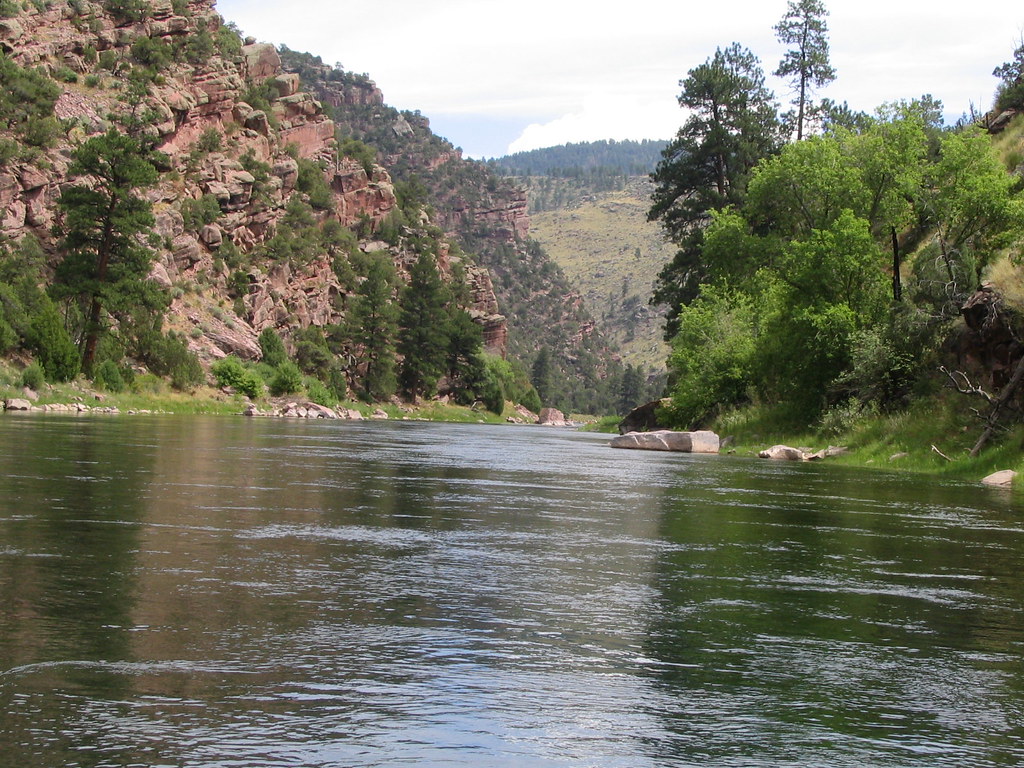
Green River
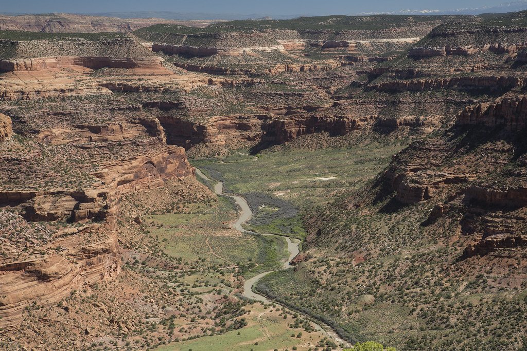
Dolores River
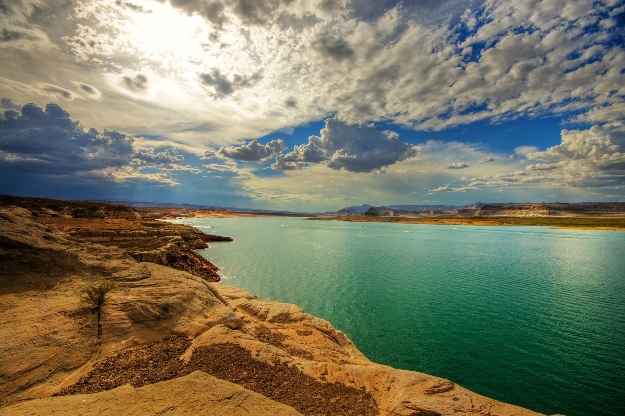
Lake Powell
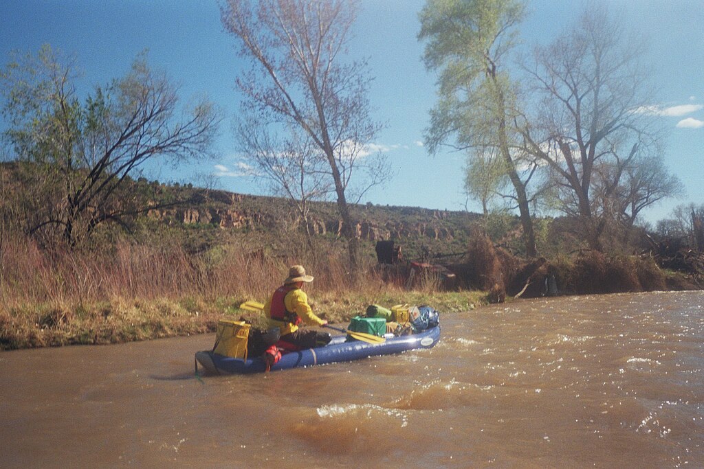
San Miguel River
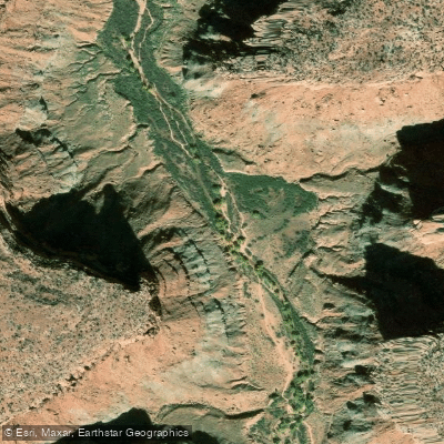
Kane Springs Creek
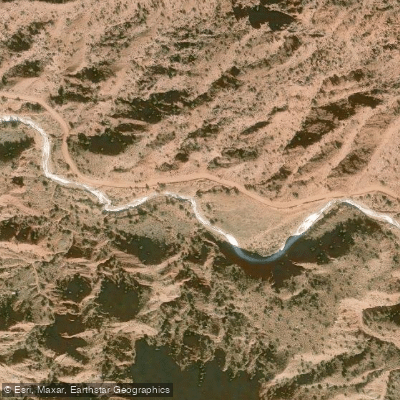
Onion Creek
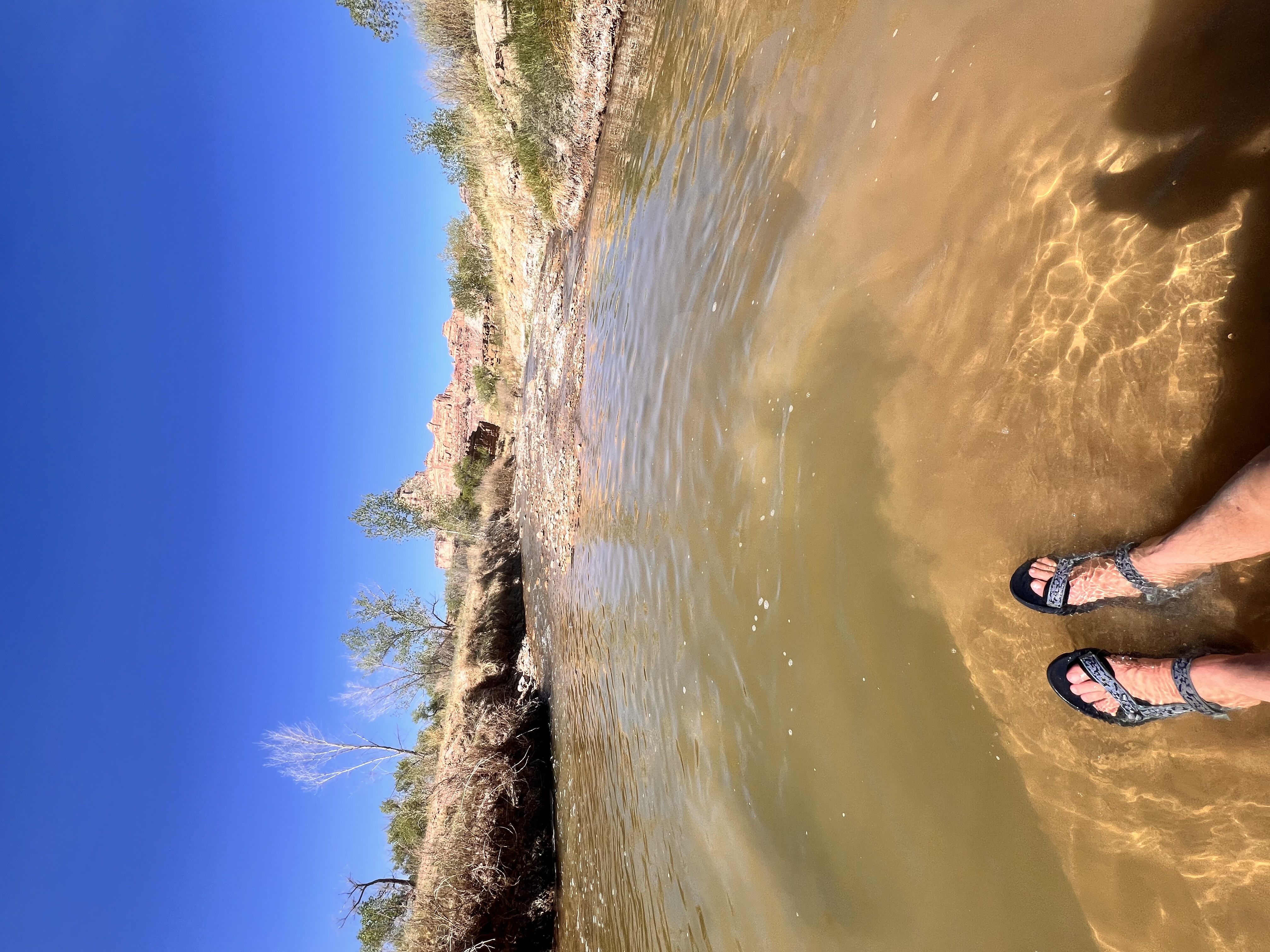
San Rafael River
Explore Colorado waters
Top paddling waters
Popular Cities
Loading popular cities...
Explore near Buckeye Reservoir

Smarter Paddling Starts in the App.
Paddleways gives you everything you need to plan smarter, paddle better, and own every trip from first launch to takeout.