Kane Springs Creek
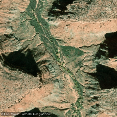
Kane Springs Creek
- Boat Ramps
- 0
- Access Points
- 1
- Campsites
- 13
Kane Springs Creek is a small tributary of the Colorado River located in southeastern Utah. Originating in the rugged terrain west of Moab, this intermittent stream flows eastward through a scenic desert canyon before joining the Colorado River near its confluence with the Green River. While Kane Springs Creek itself offers limited paddling opportunities due to its seasonal nature and small size, it is part of a broader network of waterways that provide excellent recreational experiences in the Moab area. The creek's canyon is popular among hikers and off-road enthusiasts, featuring striking red rock formations and diverse desert ecosystems.
For paddlers, the nearby Colorado River offers a range of options from calm flatwater to challenging whitewater. Just downstream from Moab, the Take-Out Beach to Potash section provides a 27-mile stretch of easy Class I/II water, perfect for families and beginners. This scenic float can be done in a single day or as a leisurely two-day trip, showcasing the iconic red rock landscape of the region. More experienced paddlers can tackle the renowned Cataract Canyon, a 100-mile section featuring Class IV-V rapids through the heart of Canyonlands National Park. This challenging run typically takes 3-6 days and offers some of the most dramatic scenery in the Southwest.
The best time for paddling in this area is generally spring through fall, with high water typically occurring in late May to early June. Summer can bring extreme heat, so proper preparation is essential. The region is home to desert bighorn sheep, mule deer, and various raptors, with fragile riparian zones supporting cottonwoods and willows along the waterways.
Access to Kane Springs Creek and nearby river sections is primarily through Moab, a hub for outdoor recreation. The area holds significant cultural importance to indigenous peoples and was later traversed by early explorers and settlers.
Safety considerations include flash flood potential in narrow canyons, extreme temperature fluctuations, and remote, rugged terrain. Paddlers should be aware of regulations within Canyonlands National Park and practice Leave No Trace principles to protect the delicate desert environment. While Kane Springs Creek itself may not be a primary paddling destination, its proximity to world-class river sections on the Colorado and Green Rivers makes it part of an exceptional paddling region that draws enthusiasts from around the globe.
Water access, boat ramps & amenities
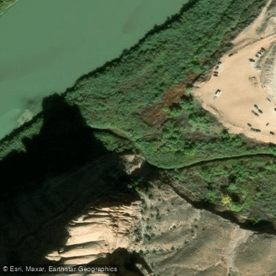
Learn how to get on Kane Springs Creek. Uncover great paddling access points, boat ramps, and all the facilities you need for an unforgettable day on the water. Some locations shown may border or include private property. Always check property boundaries and applicable regulations before visiting. PaddleWays's Public & Private Land layer can help you plan your access with confidence.
Paddle smarter with real-time insights
Whether you're en route and conditions shift or you're looking for the best spot based on current flows, we enable you to make informed decisions on the fly.








Find Places to Paddle

Over 400,000 Places to Paddle
Every user gets free access to launch points, boat ramps, and public property parcels.


Water and weather conditions (10 day forecast)
See the best times to paddle Kane Springs Creek and check the forecast before you go.
No forecast data available.
Paddling near Kane Springs Creek

Colorado River
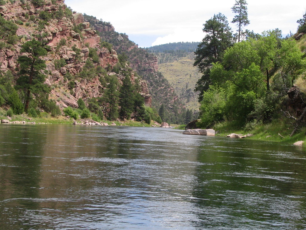
Green River
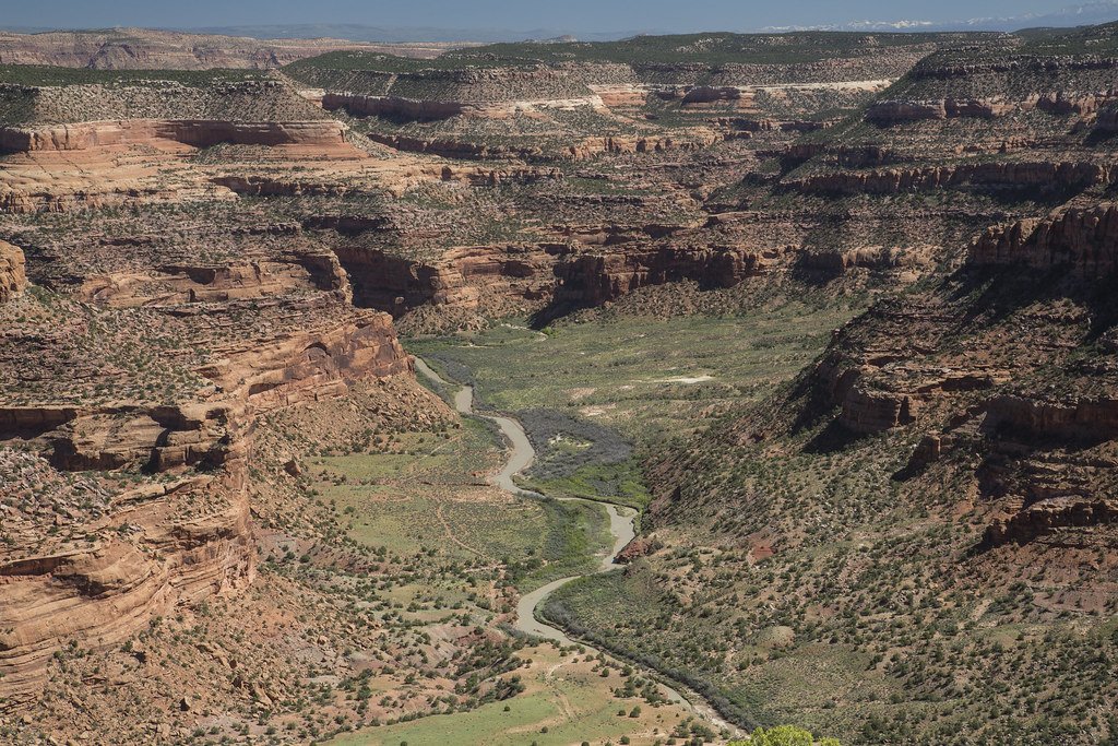
Dolores River
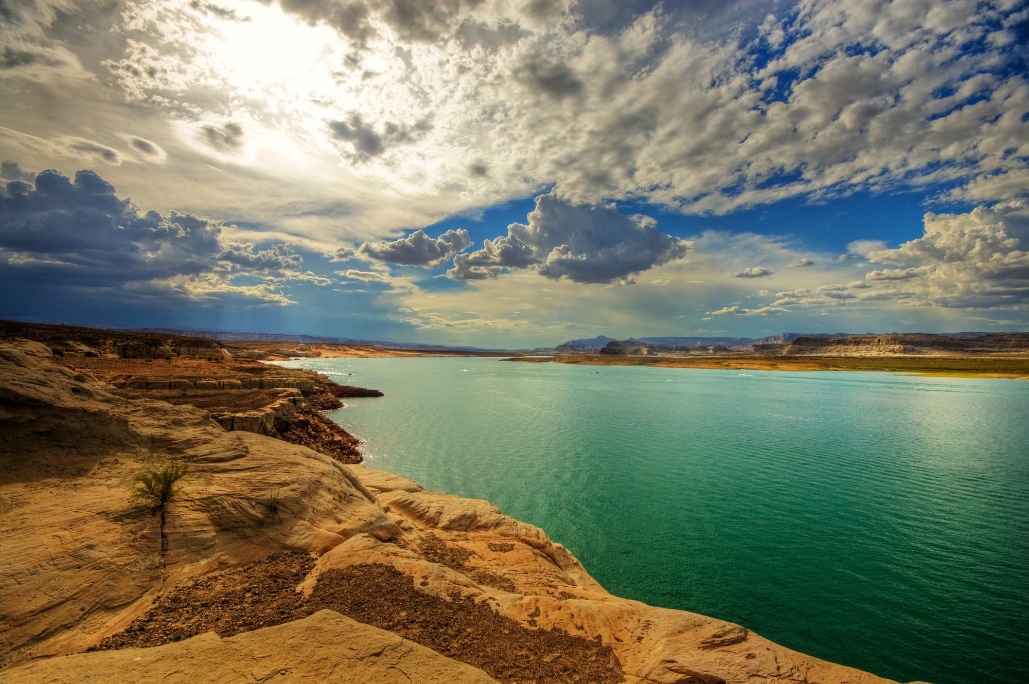
Lake Powell
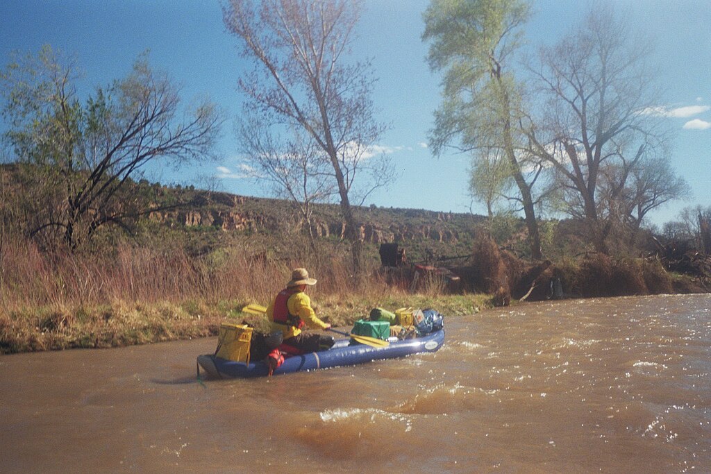
San Miguel River
Onion Creek
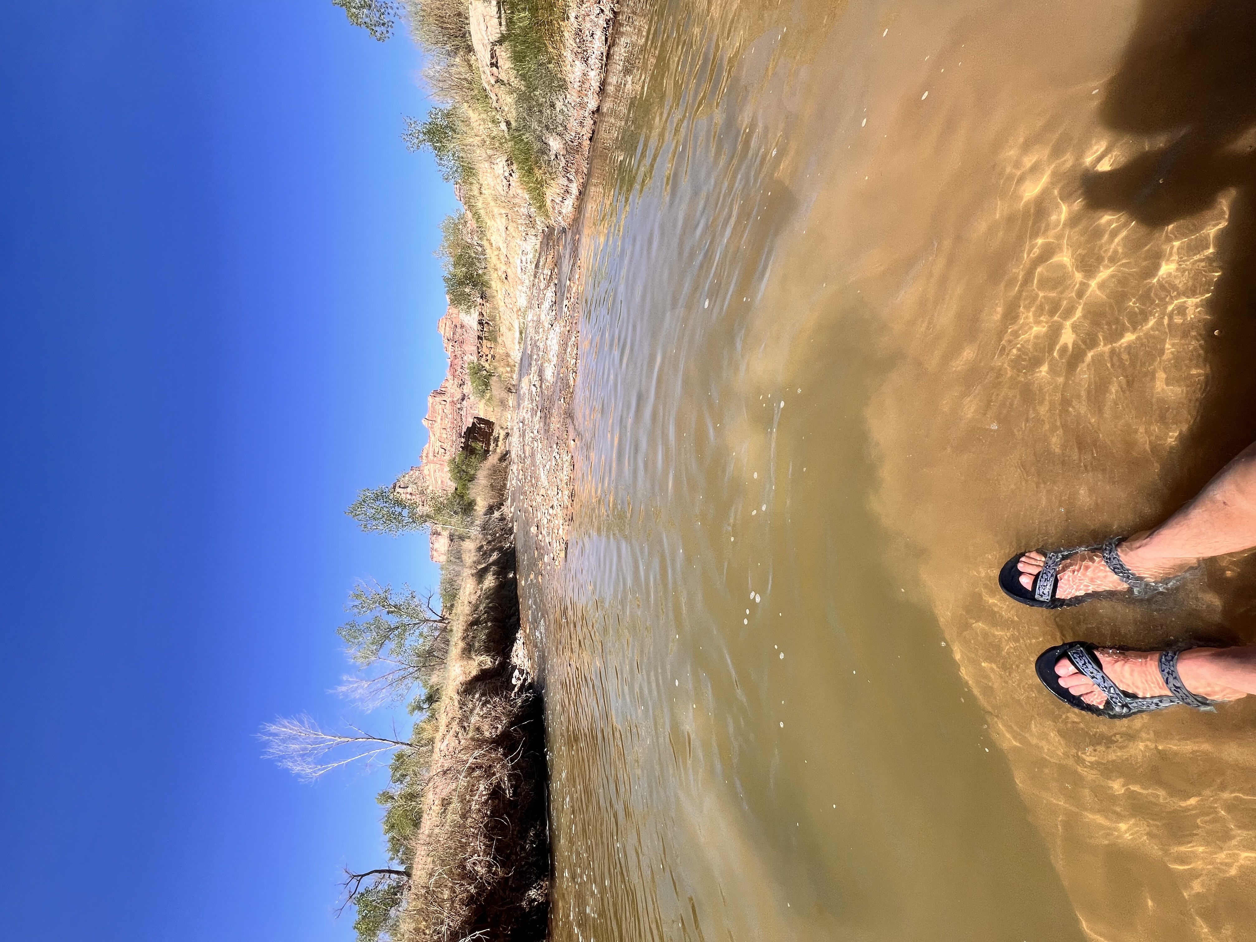
San Rafael River
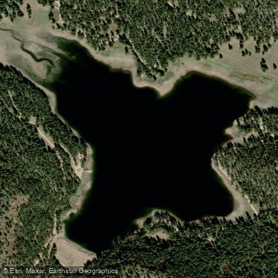
Buckeye Reservoir
Explore Utah waters
Top paddling waters
Popular Cities
Loading popular cities...
Explore near Kane Springs Creek
Access points
- Kane Creek Access
- Hunter Canyon Campground
- The Ledge Group Campground
- Williams Bottom Campground
- Moonflower Canyon Campground
- J.C. Park Campground
- Yellow Circle Road Dispersed Campground
- Kings Bottom Campground
- Pack Creek Group Picnic Site Campground
- Across From Jackson Campground
- Gold Bar Campground
- Up The Creek Campground
- All 18 spots
Nearby waters
More in Utah

Smarter Paddling Starts in the App.
Paddleways gives you everything you need to plan smarter, paddle better, and own every trip from first launch to takeout.