Escalante Creek
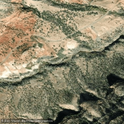
Escalante Creek
- Boat Ramps
- 1
- Access Points
- 1
- Campsites
- 1
Escalante Creek is a challenging whitewater run located in western Colorado, north of Delta. This tributary of the Gunnison River flows northward through a scenic desert canyon landscape characterized by sagebrush, cactus, and towering 400-foot sandstone cliffs. The creek offers approximately 7 miles of paddling, typically divided into two distinct sections. The Upper Escalante, a 5-mile Class IV+ stretch, begins just downstream of Escalante Forks. It starts with about 2/3 mile of Class II-III warm-up before the gorge narrows, leading into more technical rapids. The Lower Gorge, roughly 2 miles long, steps up to solid Class V whitewater.
Escalante Creek demands advanced to expert paddling skills. The Upper section never exceeds Class IV+, featuring several scoutable Class IV rapids. The Lower Gorge includes the notorious Class V 57 Chevy rapid and Escalante Falls, both requiring careful scouting.
The creek has a short, early season, typically running in spring when snowmelt from the nearby Grand Mesa peaks. It often comes into condition before other Colorado rivers, making it a popular early-season destination for skilled boaters. The surrounding environment is atypical for a Colorado whitewater run, with a desert ecosystem more reminiscent of Utah. Paddlers may spot desert bighorn sheep on the canyon walls. The creek's unique fin rock formation, once used as a gauge, is a notable landmark.
Access is via dirt roads off Highway 50. The main put-in is located just below a fence downstream from Escalante Forks. Take-out locations vary depending on the section paddled, but all are within the Escalante Canyon area.
Safety considerations are significant. The creek's remote location, challenging rapids, and potential for wood hazards demand respect. Scouting is essential, particularly for the Lower Gorge's most difficult rapids. While primarily a day-trip destination, the area offers primitive camping opportunities for those wishing to spend more time exploring this unique desert canyon environment. The creek's compact nature and intense whitewater make it a gem for skilled paddlers seeking a concentrated dose of technical Colorado kayaking.
Water access, boat ramps & amenities
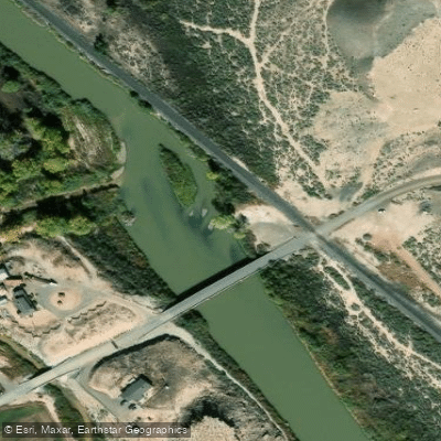
Learn how to get on Escalante Creek. Uncover great paddling access points, boat ramps, and all the facilities you need for an unforgettable day on the water. Some locations shown may border or include private property. Always check property boundaries and applicable regulations before visiting. PaddleWays's Public & Private Land layer can help you plan your access with confidence.
Paddle smarter with real-time insights
Whether you're en route and conditions shift or you're looking for the best spot based on current flows, we enable you to make informed decisions on the fly.








Find Places to Paddle

Over 400,000 Places to Paddle
Every user gets free access to launch points, boat ramps, and public property parcels.


Water and weather conditions (10 day forecast)
See the best times to paddle Escalante Creek and check the forecast before you go.
ESCALANTE CREEK NEAR DELTA, CO.
Paddling near Escalante Creek
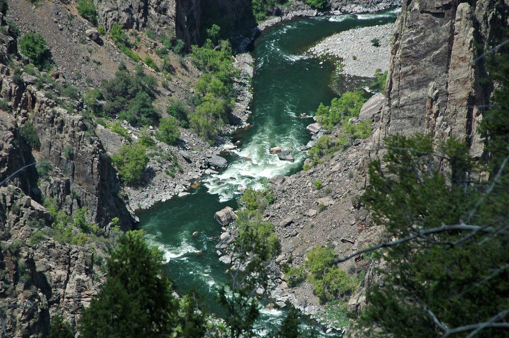
Gunnison River
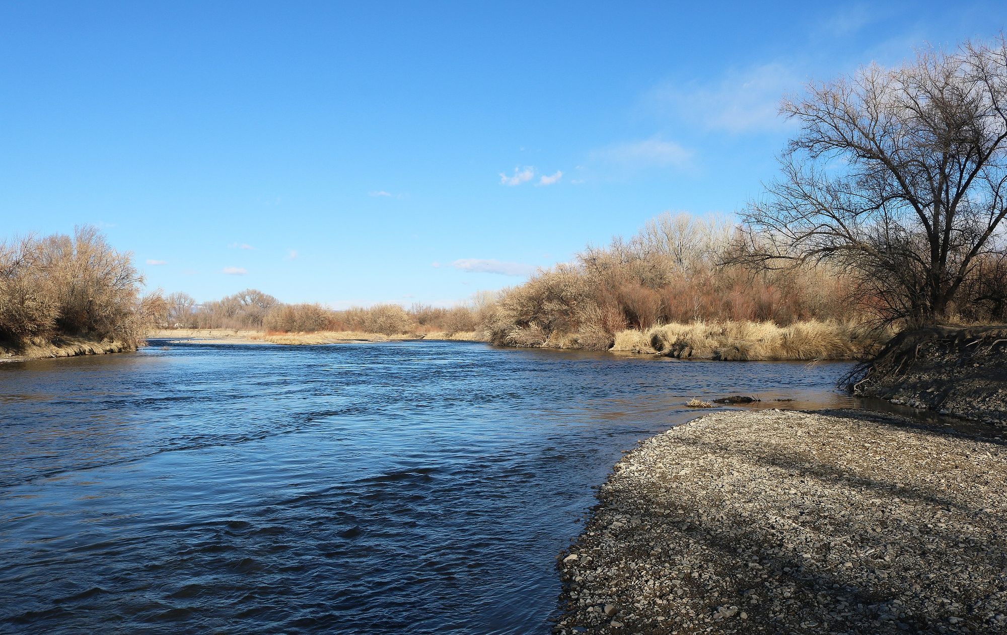
Uncompahgre River

Colorado River
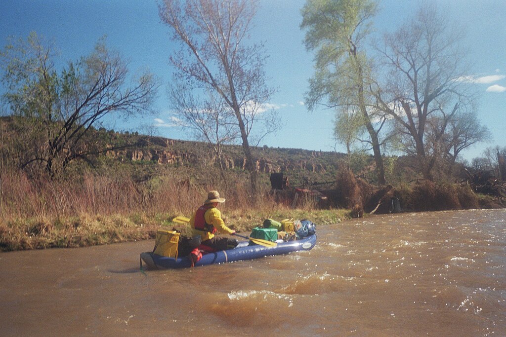
San Miguel River
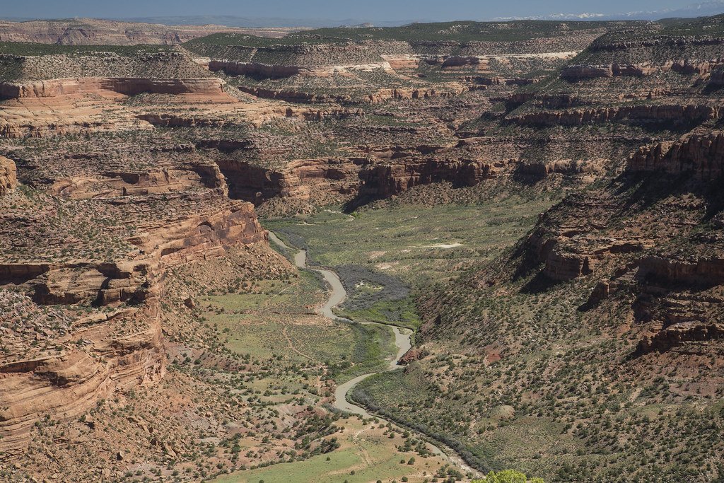
Dolores River
Lake Fork
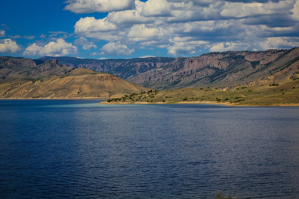
Blue Mesa Reservoir
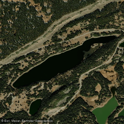
Island Lake
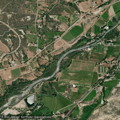
North Fork Gunnison River
Explore Colorado waters
Top paddling waters
Popular Cities
Loading popular cities...
Explore near Escalante Creek

Smarter Paddling Starts in the App.
Paddleways gives you everything you need to plan smarter, paddle better, and own every trip from first launch to takeout.