Lake Fork
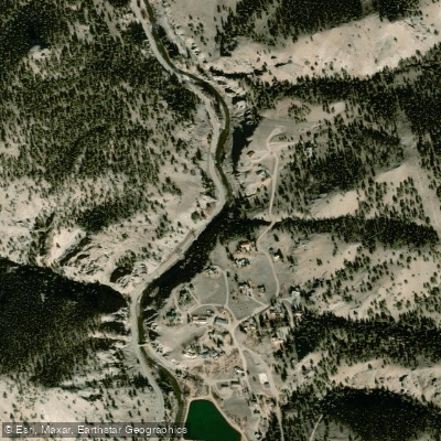
Lake Fork
- Boat Ramps
- 7
- Access Points
- 11
- Campsites
- 84
The Lake Fork of the Gunnison River originates near Sloan Lake at approximately 12,910 feet elevation in the San Juan Mountains of Hinsdale County, Colorado, flowing roughly 64.7 miles northward before joining the Gunnison River at Blue Mesa Reservoir in Gunnison County. The river drops through dramatic terrain, passing through Lake San Cristobal—Colorado's second-largest natural lake—formed approximately 800 years ago when the massive Slumgullion Earthflow dammed the valley.
**Paddling Opportunities** The Lake Fork offers several distinct paddling sections. The Town Run through Lake City provides 3.6 miles of Class III whitewater suitable for intermediate kayakers and rafters. Downstream, "The Box" section delivers technical Class III-IV rapids through a striking canyon carved into ancient volcanic tuff and breccia. The lower reaches from Red Bridge Campground to Gateview Campground present 4.5 miles of Class III-IV whitewater, best run during the brief late May to June window when flows reach 500-2,000 cfs. The final stretch below Gateview features Class IV-V rapids before the river enters Blue Mesa Reservoir, requiring advanced skills and local knowledge.
**Season and Flows** The Lake Fork runs primarily on snowmelt, with the season typically lasting from late May through July. Peak flows occur in early to mid-June, though timing varies with snowpack. The river's dam-free nature means flows fluctuate naturally, with average monthly flows ranging from 131 cfs in July to 50 cfs in September near Lake San Cristobal.
**Natural Features** The watershed supports Gold Medal trout waters with healthy populations of rainbow, brown, and cutthroat trout, plus fall-run kokanee salmon from Blue Mesa Reservoir. The riparian corridor features narrowleaf cottonwood, blue spruce, and thinleaf alder—recognized as a globally significant biodiversity community. Wildlife includes black bears, elk, deer, and numerous bird species, with a notable heron rookery near Gateview Campground.
**Access and Landmarks** Lake City serves as the primary access hub, with Highway 149 paralleling much of the river. Key put-ins include Memorial Park in Lake City and Red Bridge Campground. The Slumgullion Earthflow and Lake San Cristobal represent major geological landmarks. Historic mining sites dot the upper watershed, particularly along tributaries like Henson Creek.
**Considerations** Water quality concerns exist in upper reaches due to historic mining impacts, particularly metals from abandoned sites. Instream flow rights protect minimum flows on various sections. Private property borders significant stretches, requiring boaters to stay within the high-water mark. The river's remote canyon sections demand self-sufficiency and strong whitewater skills, with limited emergency access.
Water access, boat ramps & amenities
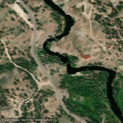
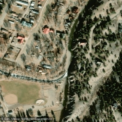
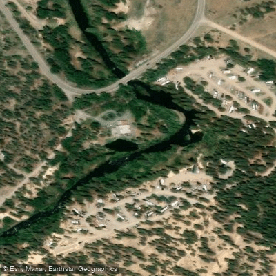
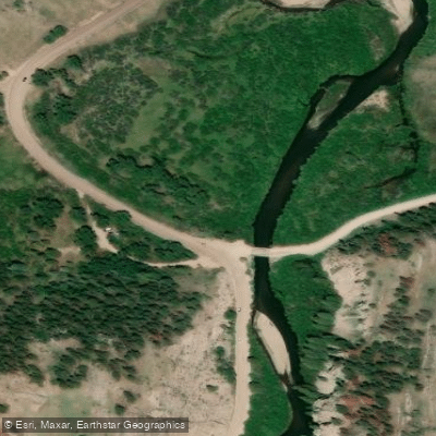
Learn how to get on Lake Fork. Uncover great paddling access points, boat ramps, and all the facilities you need for an unforgettable day on the water. Some locations shown may border or include private property. Always check property boundaries and applicable regulations before visiting. PaddleWays's Public & Private Land layer can help you plan your access with confidence.
Paddle smarter with real-time insights
Whether you're en route and conditions shift or you're looking for the best spot based on current flows, we enable you to make informed decisions on the fly.








Find Places to Paddle

Over 400,000 Places to Paddle
Every user gets free access to launch points, boat ramps, and public property parcels.


Water and weather conditions (10 day forecast)
See the best times to paddle Lake Fork and check the forecast before you go.
HENSON CREEK AT LAKE CITY, CO
All Flow Stations
Paddling near Lake Fork
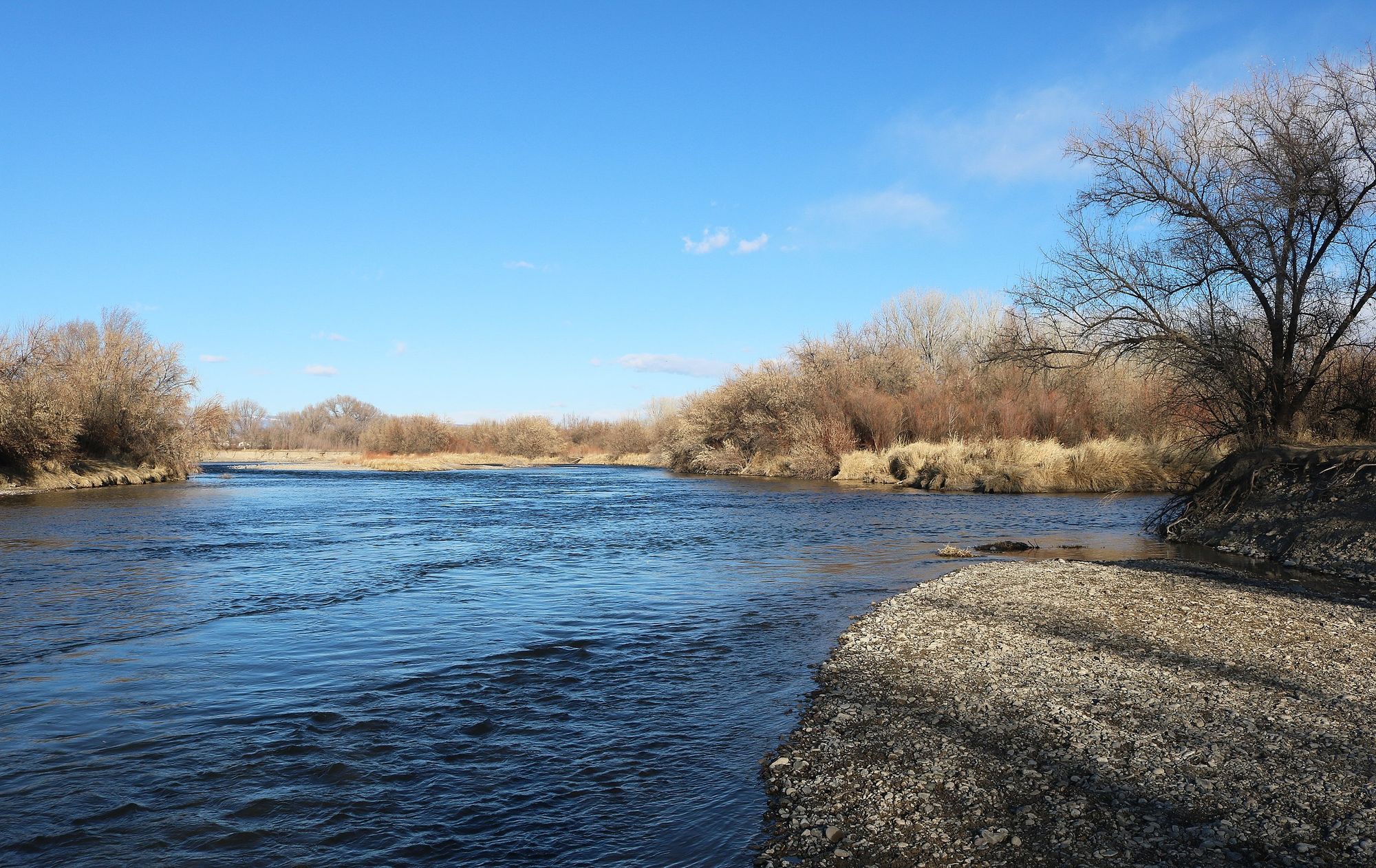
Uncompahgre River
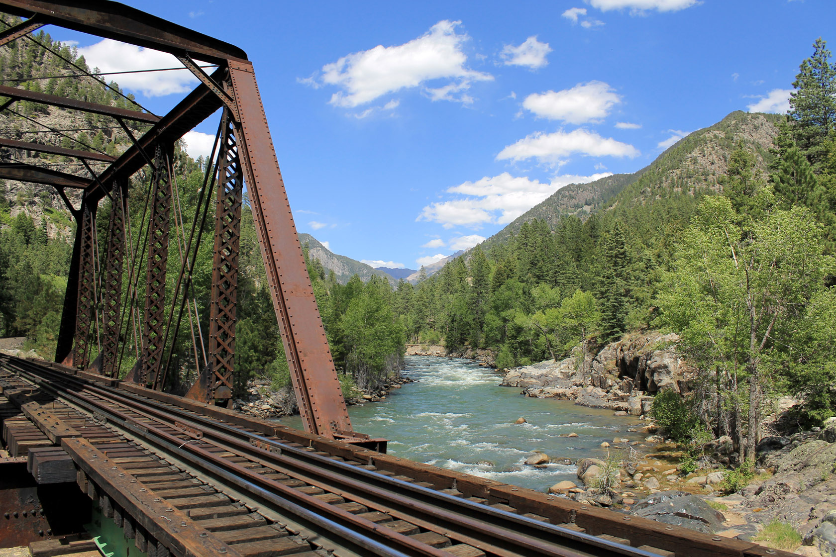
Animas River

Rio Grande
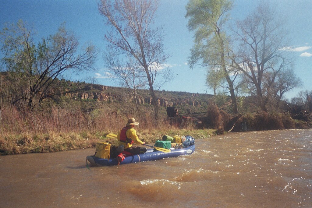
San Miguel River
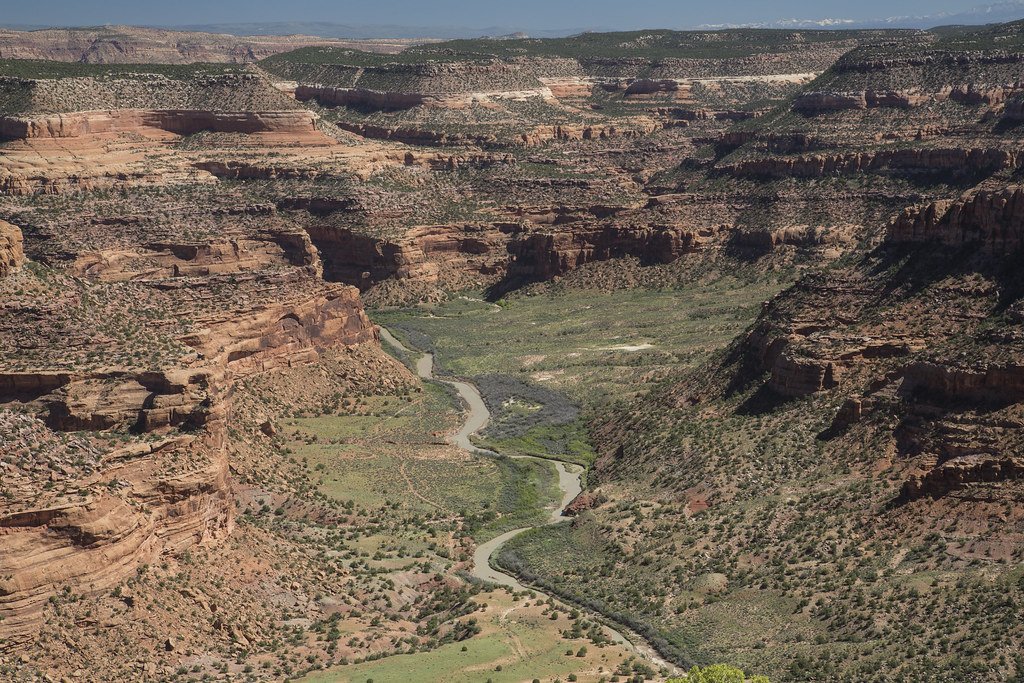
Dolores River
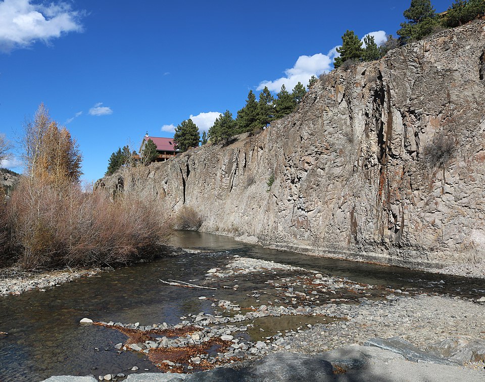
Henson Creek
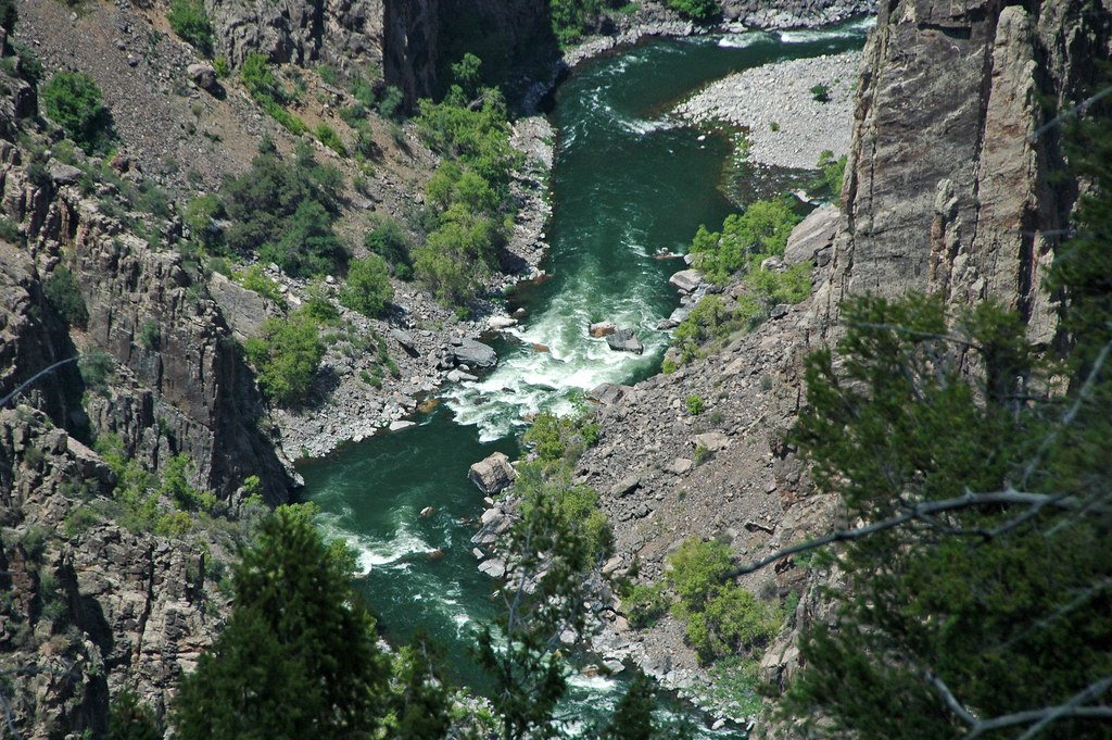
Gunnison River
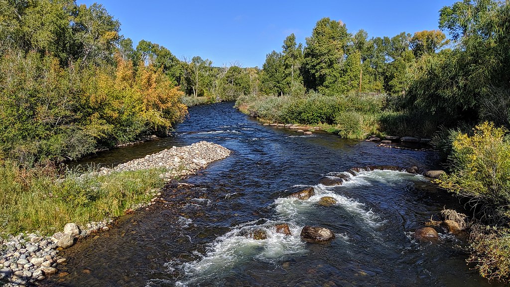
Los Pinos River
South Clear Creek
Explore Colorado waters
Top paddling waters
Popular Cities
Loading popular cities...
Explore near Lake Fork
Access points
Nearby waters
More in Colorado

Smarter Paddling Starts in the App.
Paddleways gives you everything you need to plan smarter, paddle better, and own every trip from first launch to takeout.