North Fork Gunnison River
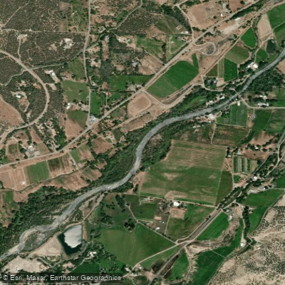
North Fork Gunnison River
- Boat Ramps
- 2
- Access Points
- 5
- Campsites
- 12
The North Fork Gunnison River is a major tributary of the Gunnison River in western Colorado. It originates in the West Elk Mountains near Somerset and flows westward for approximately 33 miles before joining the main stem of the Gunnison River at a confluence known as Pleasure Park. The river passes through the towns of Paonia and Hotchkiss as it descends from forested mountains into high desert canyons.
Paddling opportunities on the North Fork Gunnison range from calm float trips to exciting whitewater runs. The upper section from Paonia Reservoir to Somerset offers a challenging Class III whitewater experience with continuous rapids over a 15-mile stretch. The middle section from Paonia to Hotchkiss provides a mix of Class II-III rapids over 10 miles, popular for both half-day and full-day trips. Below Hotchkiss, the river mellows to mostly Class I-II as it approaches the confluence.
The river is typically runnable from May through June during spring snowmelt, with flows between 300-6000 cfs considered ideal for rafting and kayaking. Late summer and fall offer opportunities for scenic float trips and fishing at lower water levels.
Notable wildlife includes deer, elk, black bears, and a variety of bird species. The river corridor transitions from pine and aspen forests in the upper reaches to cottonwood groves and desert vegetation as it descends.
Key access points include put-ins at Paonia Reservoir, Somerset, Paonia River Park, and Hotchkiss. Popular take-outs are located at Paonia River Park, below Hotchkiss, and at Pleasure Park near the confluence. The towns of Paonia, Hotchkiss, and Delta serve as bases for river trips.
The North Fork Valley has a rich history of coal mining and agriculture. Today, the river supports orchards, vineyards, and organic farms alongside a growing outdoor recreation economy.
Safety considerations include wood hazards in the upper sections and irrigation diversion structures throughout. Paddlers should be aware of private property along much of the river corridor and respect landowner rights.
Multi-day trips are possible by combining the North Fork with sections of the main Gunnison River below the confluence. This allows for extended journeys through the scenic Dominguez-Escalante National Conservation Area.
Water access, boat ramps & amenities
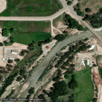
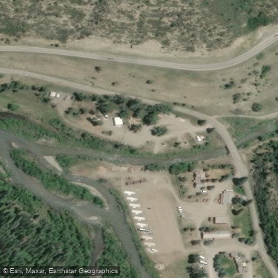
Learn how to get on North Fork Gunnison River. Uncover great paddling access points, boat ramps, and all the facilities you need for an unforgettable day on the water. Some locations shown may border or include private property. Always check property boundaries and applicable regulations before visiting. PaddleWays's Public & Private Land layer can help you plan your access with confidence.
Paddle smarter with real-time insights
Whether you're en route and conditions shift or you're looking for the best spot based on current flows, we enable you to make informed decisions on the fly.








Find Places to Paddle

Over 400,000 Places to Paddle
Every user gets free access to launch points, boat ramps, and public property parcels.


Water and weather conditions (10 day forecast)
See the best times to paddle North Fork Gunnison River and check the forecast before you go.
ANTHRACITE CREEK ABOVE MOUTH NEAR SOMERSET
All Flow Stations
Paddling near North Fork Gunnison River
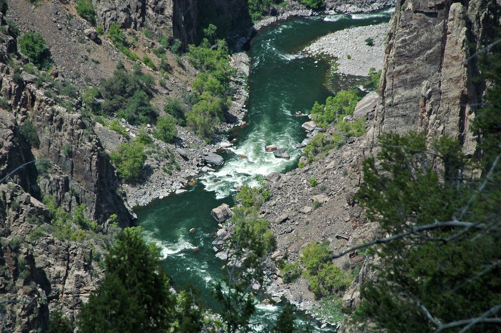
Gunnison River
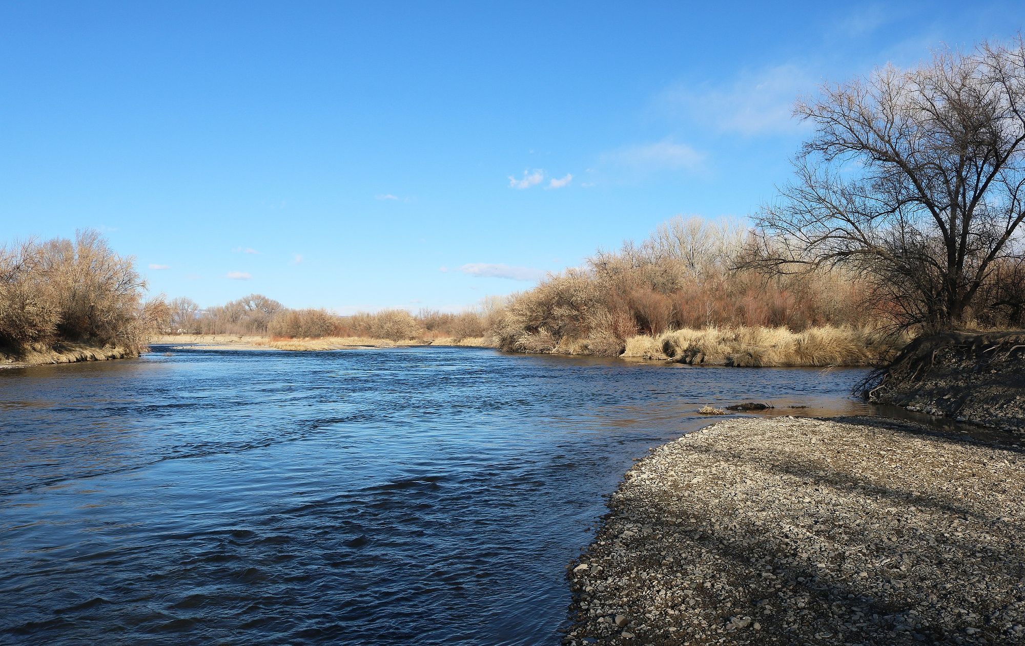
Uncompahgre River
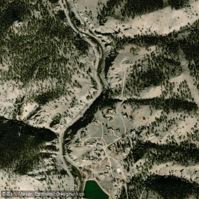
Lake Fork
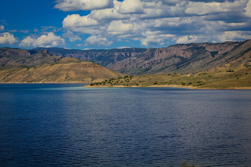
Blue Mesa Reservoir
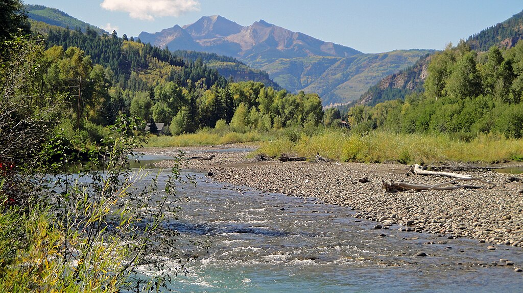
Crystal River

Colorado River
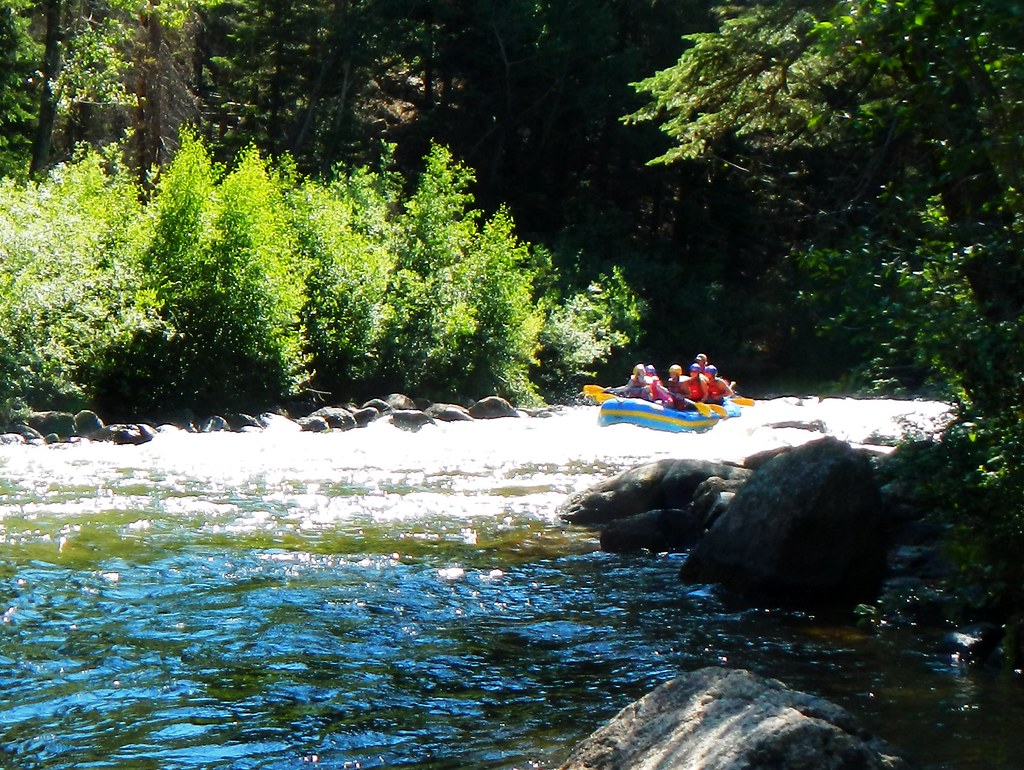
Taylor River
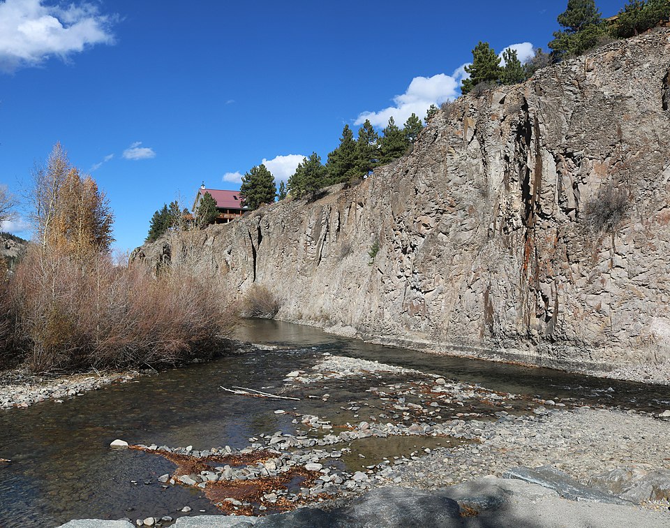
Henson Creek
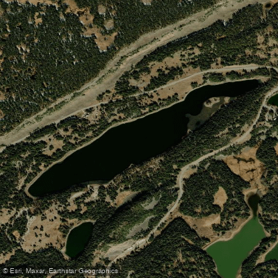
Island Lake
Explore Colorado waters
Top paddling waters
Popular Cities
Loading popular cities...
Explore near North Fork Gunnison River
Access points
Nearby waters
More in Colorado

Smarter Paddling Starts in the App.
Paddleways gives you everything you need to plan smarter, paddle better, and own every trip from first launch to takeout.