Purgatoire River
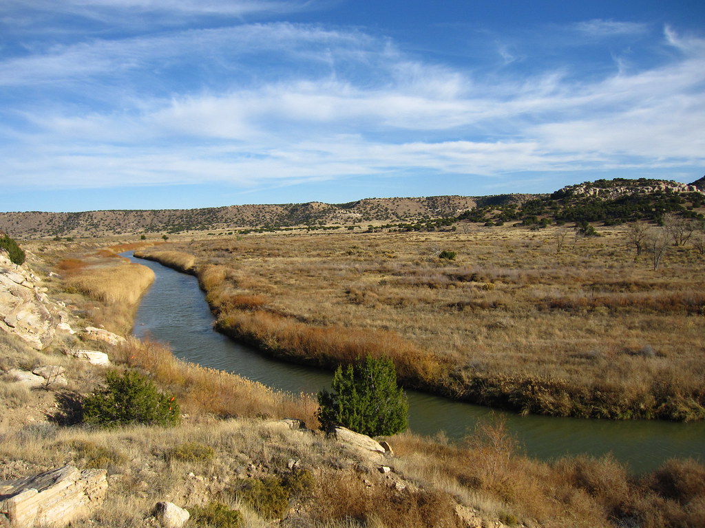
Purgatoire River
- Boat Ramps
- 0
- Access Points
- 2
- Campsites
- 3
The Purgatoire River is a 196-mile long waterway in southeastern Colorado, originating at the confluence of its Middle and North Forks in Las Animas County. It flows westward through Weston and Valdez before entering Trinidad Lake. From there, it continues northeast through Trinidad and into the Comanche National Grassland. The river's only paddling section runs 104 miles from the US 350 Bridge to Highway 109, spanning Las Animas and Otero Counties. This remote stretch offers a diverse range of whitewater experiences, from calm Class I waters to challenging Class V rapids, making it suitable for paddlers of various skill levels. The section's length and difficulty range make it an excellent option for multi-day trips.
Seasonal patterns heavily influence paddling opportunities on the Purgatoire. Spring snowmelt typically provides the best water levels, while summer flows can be unreliable. Paddlers should check current conditions before planning a trip.
The Purgatoire flows through a scenic landscape characterized by high desert terrain, canyons, and grasslands. Wildlife in the area includes various bird species, deer, and occasionally elk. The river corridor supports cottonwood and willow trees, providing habitat for diverse riparian ecosystems.
Key landmarks along the paddling section include the dramatic landscapes of the Comanche National Grassland and the historic Pinon Canyon Maneuver Site. The river's course through these areas offers paddlers a unique glimpse into Colorado's southeastern plains and canyonlands.
Access points are limited due to the river's remote nature. The primary put-in is at the US 350 Bridge, while the take-out is at Highway 109. The nearest towns are Trinidad to the west and La Junta to the northeast, both of which can serve as base camps for river expeditions.
The Purgatoire River holds significant historical and cultural importance. Its name, derived from the Spanish El R��o de las ��nimas Perdidas en Purgatorio (River of the Lost Souls in Purgatory), reflects the area's Spanish colonial history. The river valley has been home to various Native American tribes and was later an important route for traders and settlers.
Safety considerations are paramount when paddling the Purgatoire. The river's remoteness, variable water levels, and challenging rapids require thorough preparation and self-reliance. Paddlers should be prepared for multi-day wilderness trips with limited access to outside assistance.
For those seeking a true wilderness paddling experience in Colorado, the Purgatoire River offers a unique and challenging adventure through a lesser-known part of the state. Its combination of whitewater, scenery, and solitude makes it a prized destination for experienced river runners looking to explore beyond the more famous Colorado waterways.
Water access, boat ramps & amenities
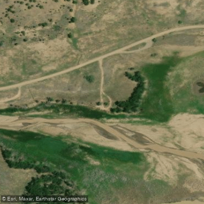
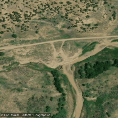
Learn how to get on Purgatoire River. Uncover great paddling access points, boat ramps, and all the facilities you need for an unforgettable day on the water. Some locations shown may border or include private property. Always check property boundaries and applicable regulations before visiting. PaddleWays's Public & Private Land layer can help you plan your access with confidence.
Paddle smarter with real-time insights
Whether you're en route and conditions shift or you're looking for the best spot based on current flows, we enable you to make informed decisions on the fly.








Find Places to Paddle

Over 400,000 Places to Paddle
Every user gets free access to launch points, boat ramps, and public property parcels.


Water and weather conditions (10 day forecast)
See the best times to paddle Purgatoire River and check the forecast before you go.
PURGATOIRE RIVER AT MADRID, CO.
All Flow Stations
Paddling near Purgatoire River

Arkansas River
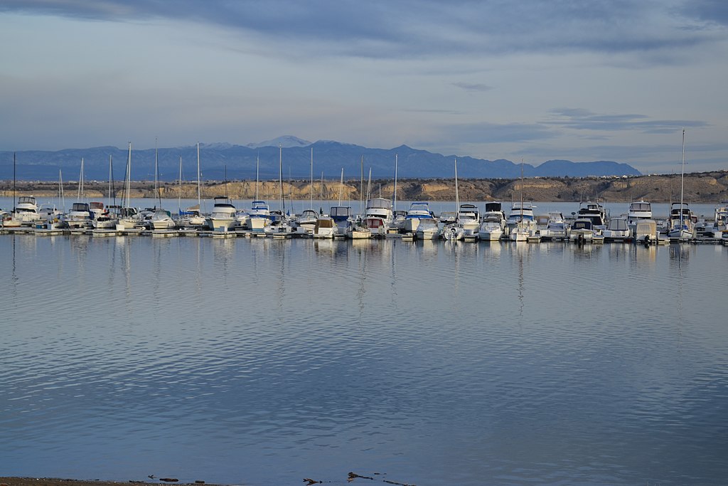
Pueblo Reservoir
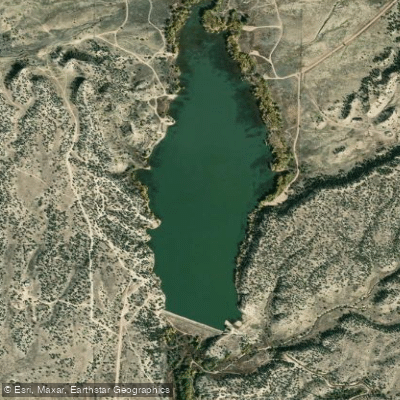
Brush Hollow Reservoir
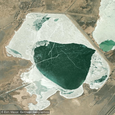
Saint Charles Reservoir Number 3
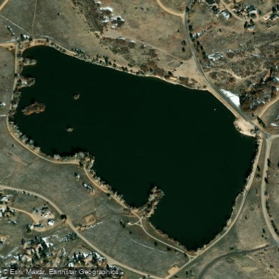
Beckwith Reservoir
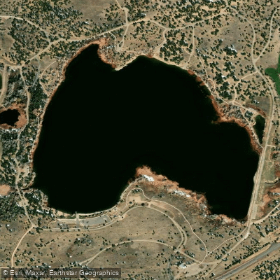
Martin Lake Reservoir
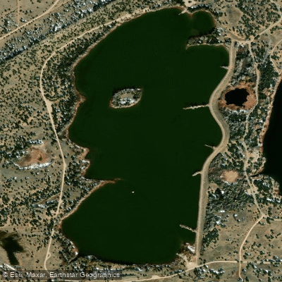
Horseshoe Lake Reservoir
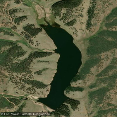
Skagway Reservoir
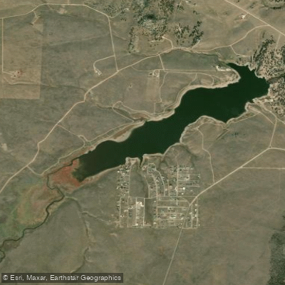
Deweese-Dye Reservoir
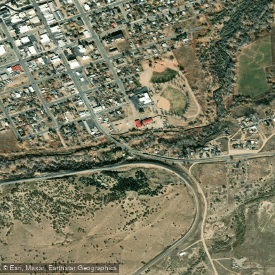
Cucharas River
Explore Colorado waters
Top paddling waters
Popular Cities
Loading popular cities...
Explore near Purgatoire River
Access points
Nearby waters
More in Colorado

Smarter Paddling Starts in the App.
Paddleways gives you everything you need to plan smarter, paddle better, and own every trip from first launch to takeout.