Henson Creek
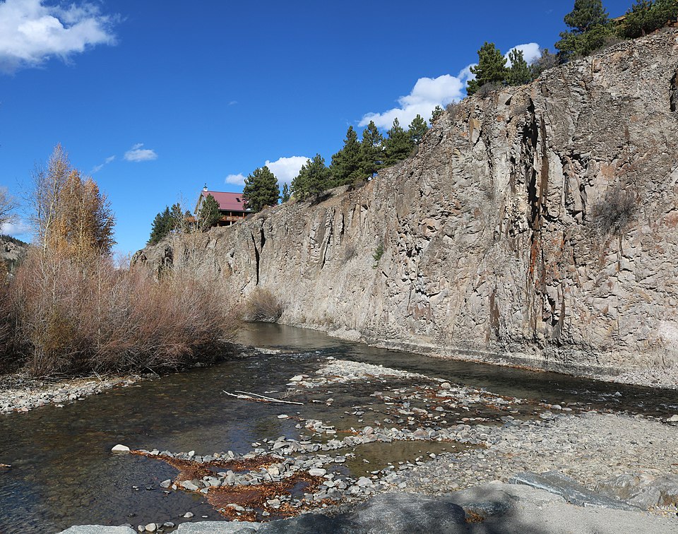
Henson Creek
- Boat Ramps
- 0
- Access Points
- 3
- Campsites
- 48
Henson Creek is a scenic mountain stream that originates high in the San Juan Mountains of southwestern Colorado. Beginning at an elevation over 12,000 feet near Engineer Pass, the creek flows eastward for approximately 20 miles before joining the Lake Fork of the Gunnison River at Lake City. The creek's upper reaches feature steep gradients and technical whitewater as it descends through a rugged alpine landscape.
The Upper Gorge section, from above Nellie Creek to Witmore Falls, offers expert paddlers a challenging Class V+ run with continuous rapids and a significant waterfall at the end. Below Witmore Falls, the creek eases somewhat but still provides exciting Class IV-V whitewater down to Lake City.
Henson Creek is typically runnable from late spring through mid-summer, depending on snowmelt and rainfall. The optimal paddling window is often brief, usually peaking in June. Due to the creek's difficulty, it is only suitable for expert whitewater kayakers with solid Class V skills and experience. Scouting is essential, as wood hazards are common.
The creek flows through a pristine mountain environment home to diverse wildlife including elk, mule deer, black bears, and a variety of birds. Stands of aspen and spruce-fir forests line the banks in many areas. The surrounding peaks and ridges offer stunning vistas of the San Juan high country.
Key landmarks include Witmore Falls, a significant 20+ foot waterfall marking the end of the Upper Gorge, and the historic mining town of Lake City near the creek's confluence. The parallel Engineer Pass Road (County Road 20) provides access to much of the creek, with potential put-ins near Nellie Creek and takeouts in Lake City.
Henson Creek played an important role in the area's 19th century silver mining boom, with several abandoned mines and ghost towns dotting its watershed. Today, it offers intrepid paddlers a wild and challenging whitewater experience in a spectacular alpine setting. Those seeking a multi-day adventure can combine a run on Henson Creek with nearby stretches of the Lake Fork of the Gunnison or Cebolla Creek.
However, due to the creek's difficulty and remoteness, paddlers must be well-prepared with proper gear, safety equipment, and reliable communication devices. As always, respect private property and check local regulations before accessing the creek.
Water access, boat ramps & amenities
Learn how to get on Henson Creek. Uncover great paddling access points, boat ramps, and all the facilities you need for an unforgettable day on the water. Some locations shown may border or include private property. Always check property boundaries and applicable regulations before visiting. PaddleWays's Public & Private Land layer can help you plan your access with confidence.
Paddle smarter with real-time insights
Whether you're en route and conditions shift or you're looking for the best spot based on current flows, we enable you to make informed decisions on the fly.








Find Places to Paddle

Over 400,000 Places to Paddle
Every user gets free access to launch points, boat ramps, and public property parcels.


Water and weather conditions (10 day forecast)
See the best times to paddle Henson Creek and check the forecast before you go.
HENSON CREEK AT LAKE CITY, CO
Paddling near Henson Creek
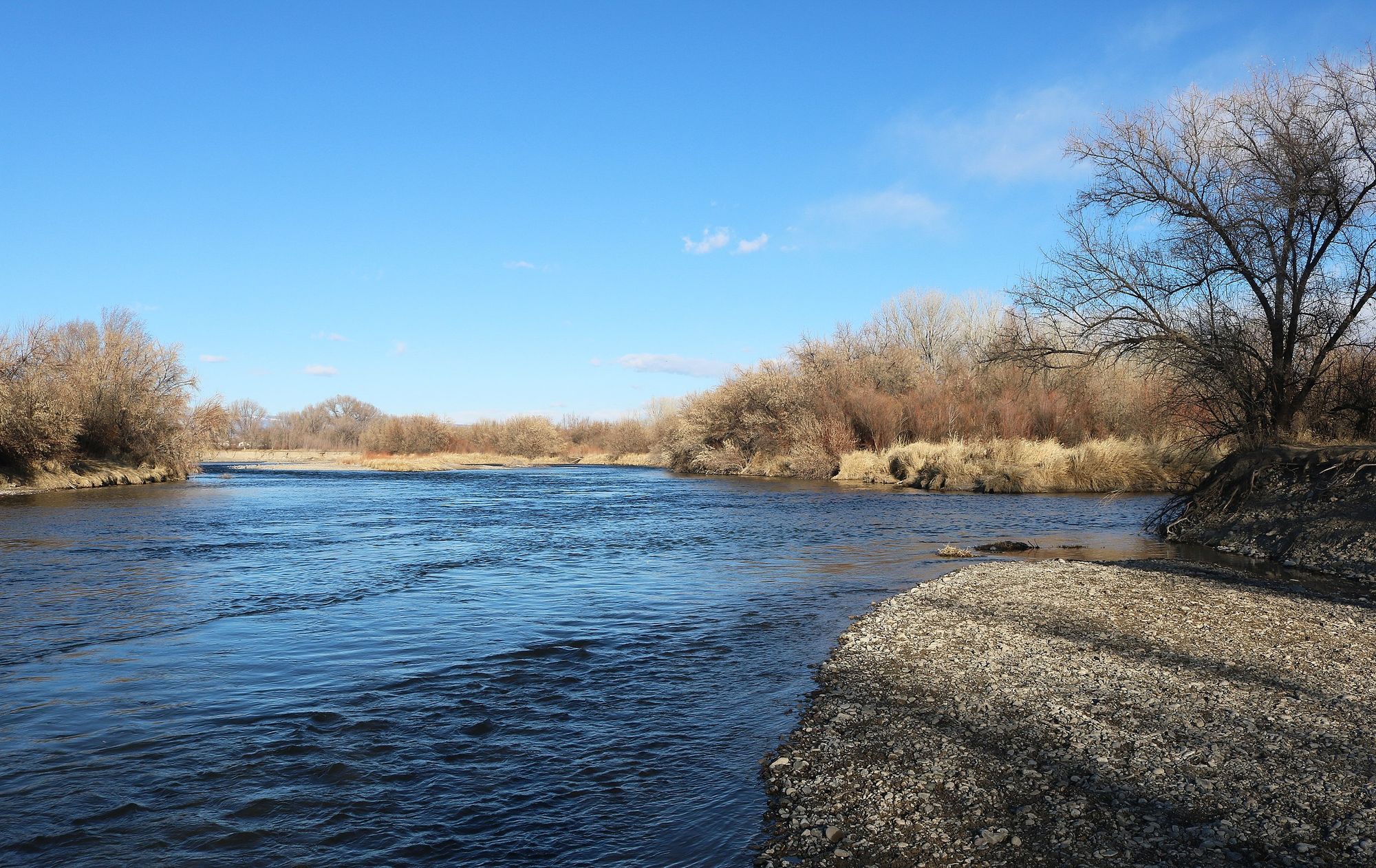
Uncompahgre River
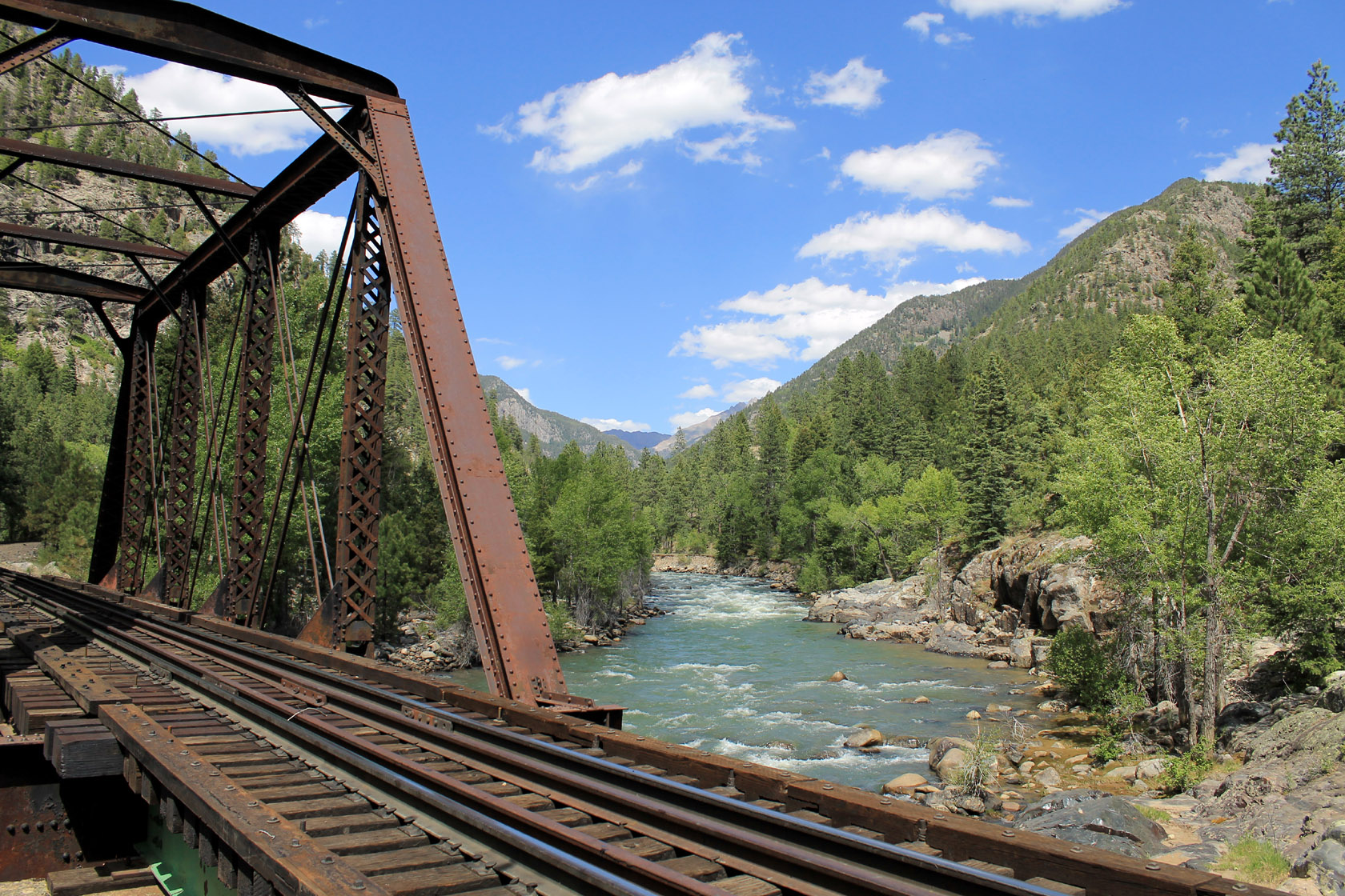
Animas River

Rio Grande
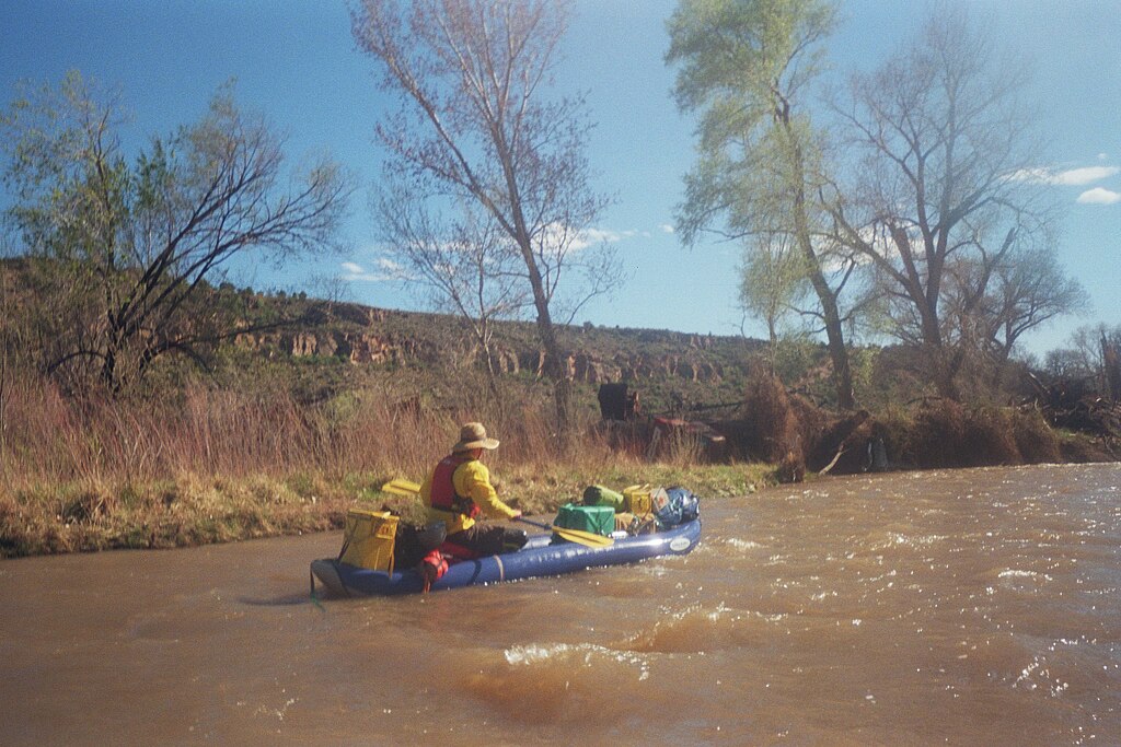
San Miguel River
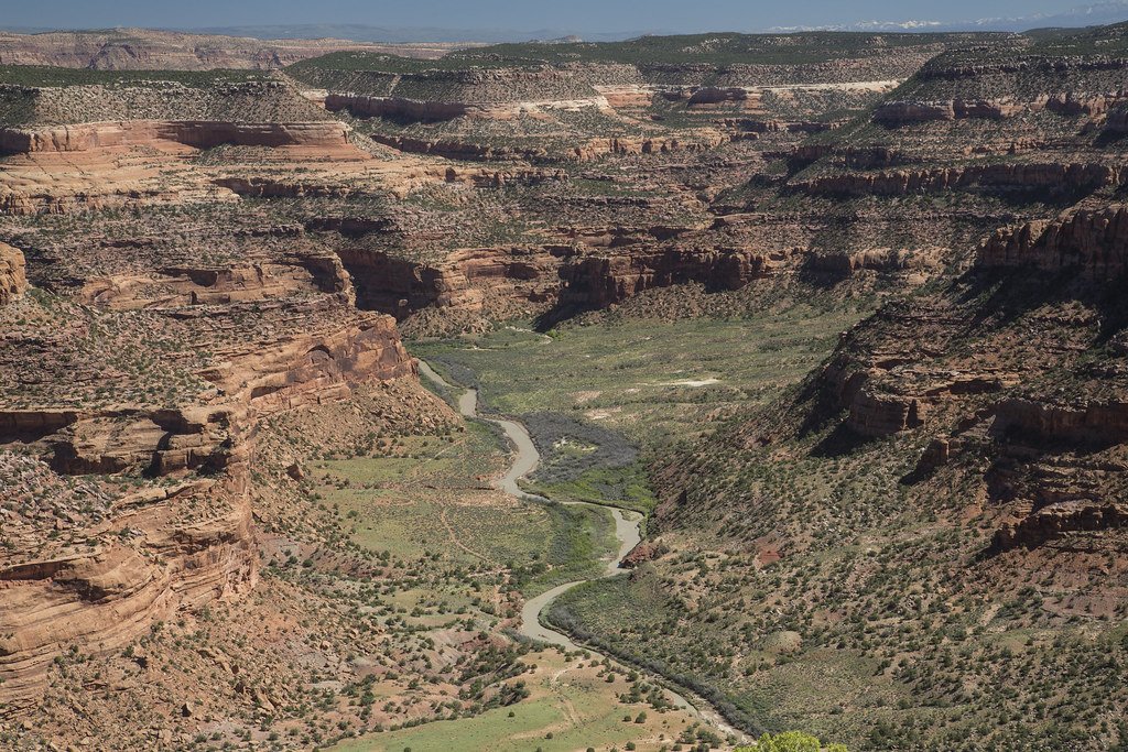
Dolores River
Lake Fork
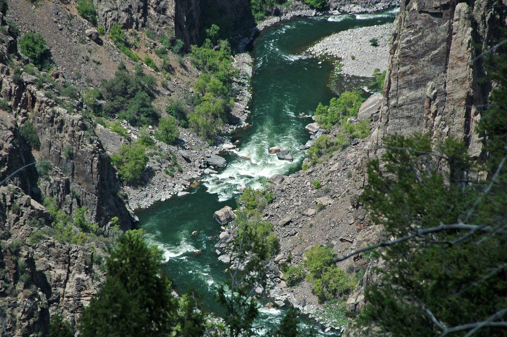
Gunnison River
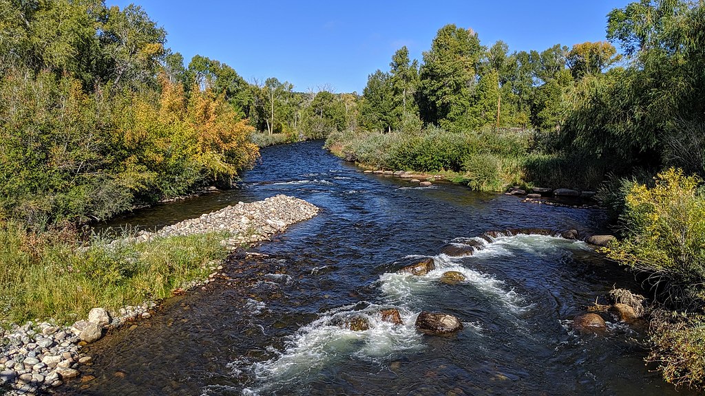
Los Pinos River
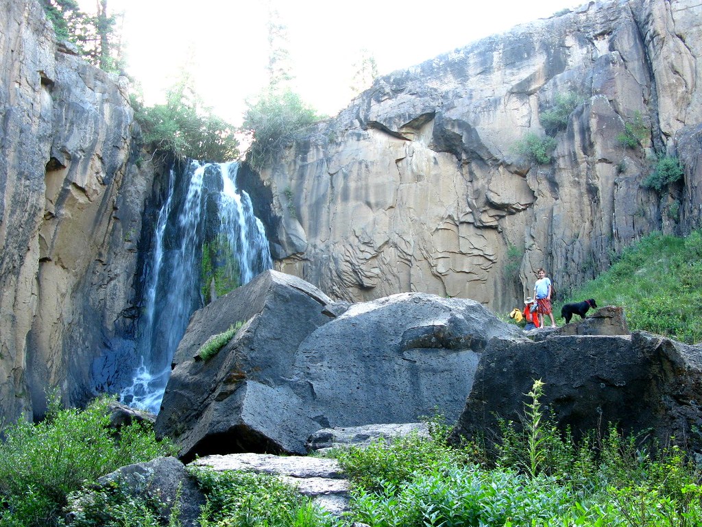
South Clear Creek
Explore Colorado waters
Top paddling waters
Popular Cities
Loading popular cities...
Explore near Henson Creek
Access points
Nearby waters
More in Colorado

Smarter Paddling Starts in the App.
Paddleways gives you everything you need to plan smarter, paddle better, and own every trip from first launch to takeout.