Curated by PaddleWays
RouteFlatwater
- Distance
- 2.4 mi
- Paddle time
- ~1 hr
- Put-in → take-out
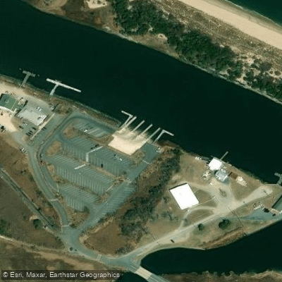
- Oyster Rocks Road Boat Ramp → Lewes Boat Ramp
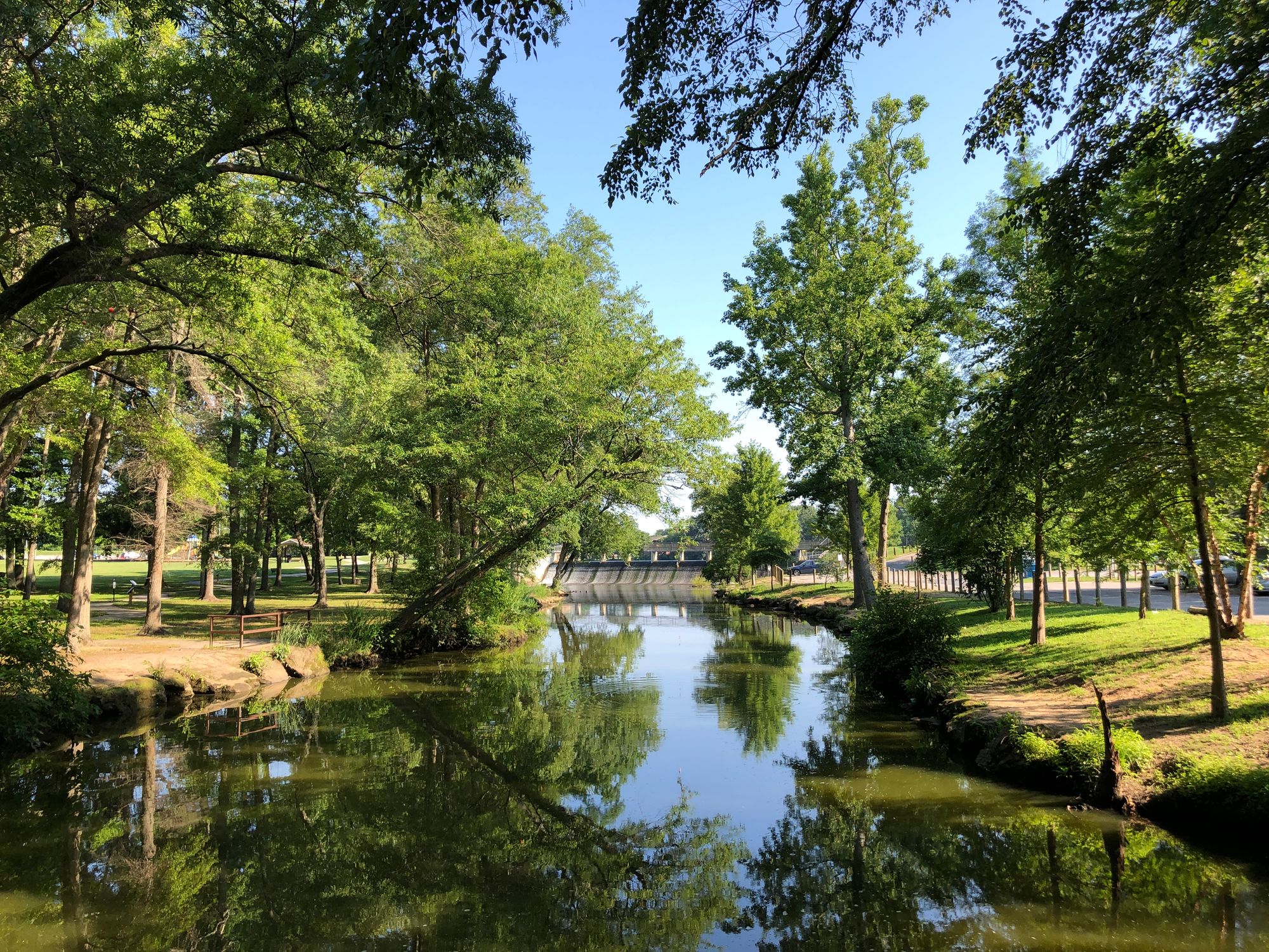
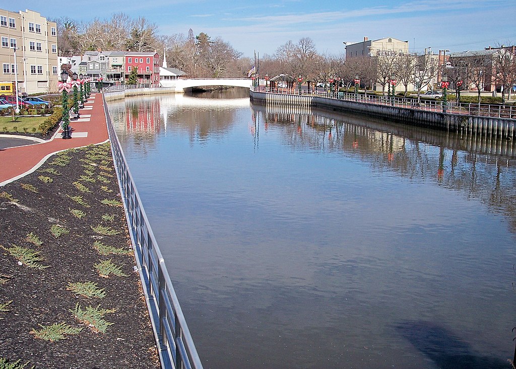
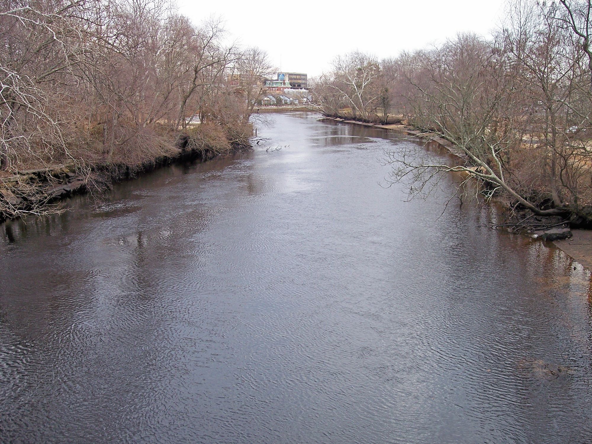
The Broadkill River is a scenic waterway that meanders through the heart of Sussex County in Delaware, offering paddlers a diverse and engaging journey from its origins near Milton to its mouth at the Delaware Bay. This tidal river, spanning approximately 13 miles, provides a unique paddling experience through a landscape rich in natural beauty and historical significance.
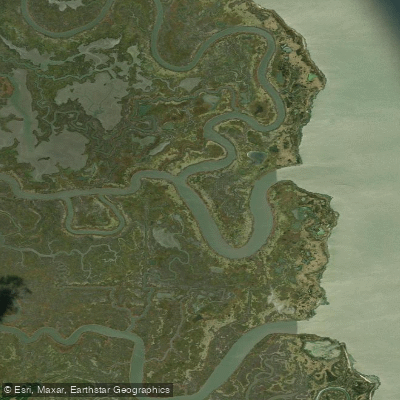
The river's journey begins at Wagamons Pond in Milton, winding its way through a variety of ecosystems including forested uplands, lush wetlands, and expansive marshes before reaching the Delaware Bay at Roosevelt Inlet near Lewes. The Broadkill River is characterized by its flatwater conditions, making it an ideal destination for paddlers of all skill levels, from beginners to experienced kayakers and canoeists.
Paddlers can choose from several popular sections, each offering its own distinct features. The Milton to McCabe Preserve trail, a short 2-mile stretch, is perfect for a quick afternoon paddle and provides access to the Edward H. McCabe Nature Conservancy Preserve. The longer Milton to Oyster Rocks trail (8 miles) and Oyster Rocks to Lewes Boat Ramp trail (10 miles) offer extended journeys through the picturesque coastal Delaware landscape.
The river's tidal nature is a key consideration for paddlers, with water levels fluctuating by about three feet. This tidal influence means that timing your trip with the tides can significantly impact your paddling experience. Generally, it's recommended to paddle downstream with an outgoing tide, especially when traveling from Oyster Rocks to Lewes.
Wildlife enthusiasts will find the Broadkill River a haven for observation. The river and its surrounding wetlands are home to a diverse array of flora and fauna, including various bird species such as ospreys, herons, and even bald eagles. The Great Marsh Preserve, which the river flows through, is particularly noted for its rich biodiversity.
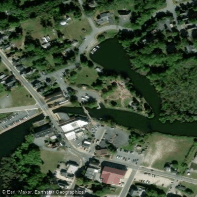
Notable landmarks along the river include the historic town of Milton, where many paddling trips begin, and the Edward H. McCabe Nature Conservancy Preserve, which offers hiking trails that connect with the water trail. The preserve's floating dock, located about two miles downstream from Milton, provides a convenient stop for non-motorized vessels.
Safety considerations are paramount when paddling the Broadkill. Due to its tidal nature, checking tide charts before setting out is crucial. Paddlers should also be aware of changing weather conditions and be prepared for the possibility of motorized boat traffic, especially closer to the Delaware Bay.
For those interested in multi-day adventures, the full 13-mile journey from Milton to Lewes can be split into a two-day trip, with Oyster Rocks serving as a potential midway point. This allows for a more leisurely exploration of the river and its surroundings.
The Broadkill River not only offers recreational opportunities but also holds historical and cultural significance for the region. It has long been an important waterway for local communities, playing a role in the area's maritime history and economic development. Whether you're looking for a short, peaceful paddle or a longer journey through Delaware's coastal landscapes, the Broadkill River provides a versatile and rewarding paddling experience, showcasing the natural beauty and ecological importance of this tidal waterway.
Curated routes
Hand-picked by the PaddleWays team, with put-ins, take-outs, paddle times and the hazards along the way.
RouteFlatwater
RouteFlatwater
RouteFlatwater
Hazards
No paddler has reported a hazard here yet, so these are the dams, falls and big rapids on our map. Hazards change with flows and storms, so check them before you launch.
From the community
Nobody has shared a trip on Broadkill River yet. Paddle it, then tell the next paddler how it went.
See exactly where the public can get on and off the river. Launch points and boat ramps are paired with PaddleWays' public land data so you know where you can legally land.
Public shoreline
12%of the river's shoreline is public
Most of the riverbank is private. Launch, land and camp only at public access points.
Flows, weather and a route-by-route verdict, so you know which stretch of the Broadkill River is worth paddling today.
Live flows, marked hazards and fresh trip reports from paddlers who were just on the water, all in one place.





Every user gets free access to launch points, boat ramps, and public property parcels.


Loading popular cities...
PaddleWays gives you everything you need to plan smarter, paddle better, and own every trip from first launch to takeout.