Curated by PaddleWays
RouteFlatwater
- Distance
- 5.1 mi
- Paddle time
- ~1.5 hrs
- Put-in → take-out
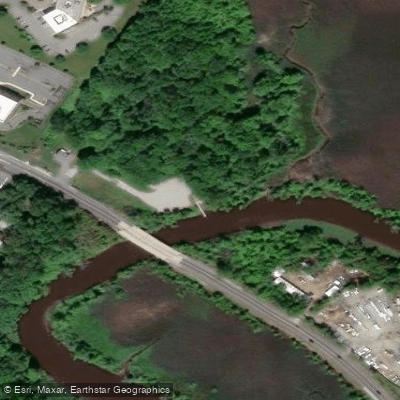
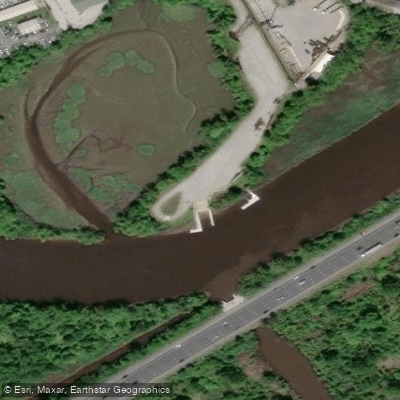
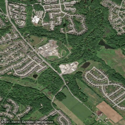
- Newport Boat Ramp → Barbiarz Park Access
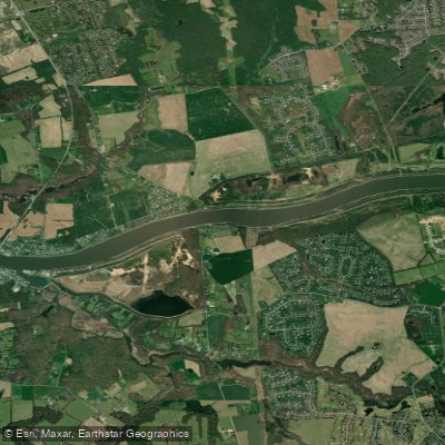
The Christina River, a 35-mile-long tributary of the Delaware River, winds its way through southeastern Pennsylvania, northeastern Maryland, and northern Delaware. This scenic waterway offers paddlers a unique blend of natural beauty and urban landscapes as it flows through the heart of Wilmington, Delaware.
The river is primarily known for its flatwater paddling opportunities, with tidal influences affecting much of its lower sections. Paddlers can explore a variety of environments, from narrow, winding channels surrounded by marshes to wider stretches passing through industrial and urban areas.
For those seeking a serene nature experience, the upper reaches of the Christina River, particularly the Churchmans Road to Route 1 section, offer a picturesque paddle through tidal waterways and wetlands. The popular Churchmans Marsh Loop provides an excellent 3-5 mile round trip for beginners and families, allowing paddlers to immerse themselves in the grassy domain of Great Blue Herons and American Beavers.
As the river approaches Wilmington, it transforms into an urban paddling adventure. The Newport to Wilmington section offers a unique perspective on the city's industrial heritage and modern development. Paddlers can enjoy the contrast between natural areas and the cityscape, with the omnipresent sounds of highways and occasional trains adding to the urban ambiance.
The Christina River is generally suitable for paddlers of all skill levels, though awareness of tidal currents is essential, especially in the lower sections. Beginners should stick to the upper reaches or join guided tours, while more experienced paddlers can tackle longer stretches and explore the river's urban portions.
Spring and fall are ideal seasons for paddling the Christina, offering comfortable temperatures and beautiful scenery. Summer can be enjoyable as well, but paddlers should be prepared for heat and increased recreational boat traffic, particularly near Wilmington.
Access points are plentiful along the river, with popular put-ins including the Churchmans Road Boat Launch in Newark, the Newport Boat Ramp, and various locations in Wilmington. Many of these access points offer ample parking, though amenities like restrooms may be limited.
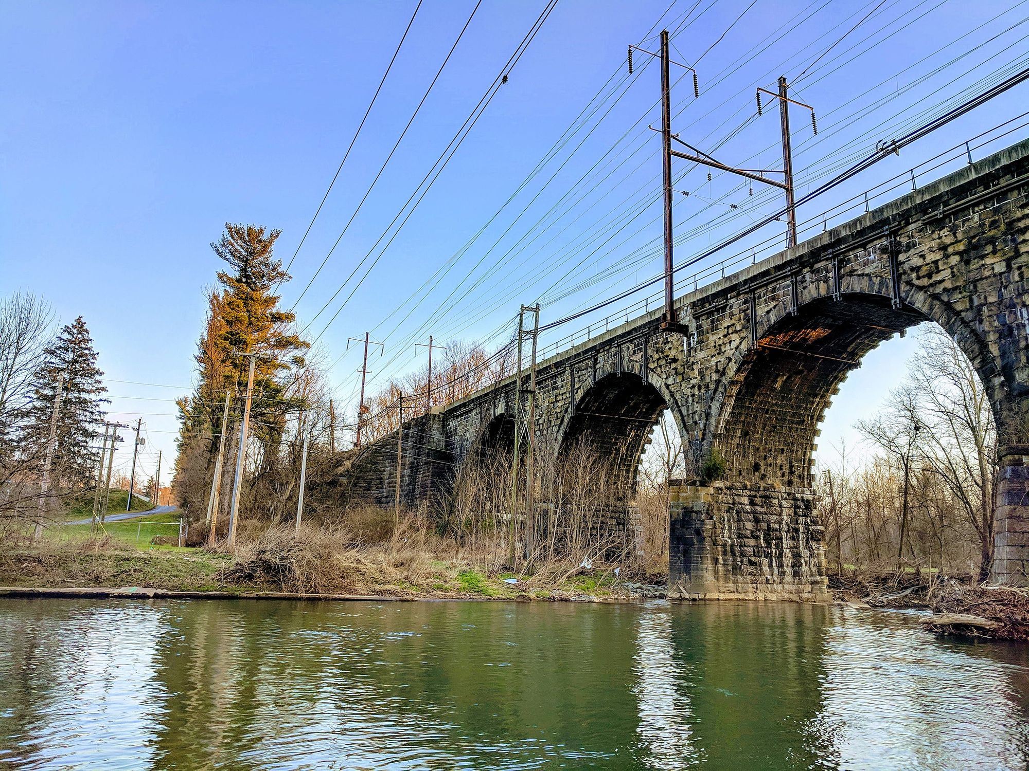
The Christina River played a significant role in the region's industrial development, and paddlers can observe remnants of this history along its banks. The river also holds cultural importance for local communities, with events like the annual Christina River Watershed Cleanup highlighting its environmental significance.
Safety considerations include being aware of tidal schedules, watching for commercial traffic in the lower sections, and staying hydrated during summer paddles. Paddlers should also be mindful of water quality, especially after heavy rains. While multi-day trips are less common on the Christina due to its urban nature, ambitious paddlers can string together several sections for a full-day adventure, exploring the river's transition from serene wetlands to bustling cityscape.
Whether you're seeking a peaceful nature retreat or an urban paddling experience, the Christina River offers a diverse and engaging journey through Delaware's landscape and history.
Curated routes
Hand-picked by the PaddleWays team, with put-ins, take-outs, paddle times and the hazards along the way.
RouteFlatwater
RouteFlatwater
Hazards
No paddler has reported a hazard here yet, so these are the dams, falls and big rapids on our map. Hazards change with flows and storms, so check them before you launch.
From the community
Nobody has shared a trip on Christina River yet. Paddle it, then tell the next paddler how it went.
See exactly where the public can get on and off the river. Launch points and boat ramps are paired with PaddleWays' public land data so you know where you can legally land.
Public shoreline
7%of the river's shoreline is public
Most of the riverbank is private. Launch, land and camp only at public access points.
Flows, weather and a route-by-route verdict, so you know which stretch of the Christina River is worth paddling today.
All Flow Stations
Live flows, marked hazards and fresh trip reports from paddlers who were just on the water, all in one place.





Every user gets free access to launch points, boat ramps, and public property parcels.


Loading popular cities...
PaddleWays gives you everything you need to plan smarter, paddle better, and own every trip from first launch to takeout.