Chesapeake and Delaware Canal
- Saltwater
- Sea area
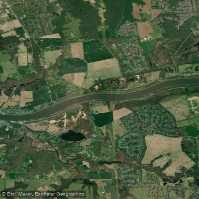
Chesapeake and Delaware Canal
- Saltwater
- Sea area
- Sq. miles
- 0.5
- Boat Ramps
- 0
- Access Points
- 0
- Campsites
- 3
The Chesapeake and Delaware Canal is a 14-mile-long, 450-foot-wide, and 40-foot-deep ship canal connecting the Delaware River and Chesapeake Bay, forming a significant part of the Intracoastal Waterway. It is one of the busiest canals in the world, with over 25,000 vessels transiting annually, a large portion of which are commercial ships and tugs with tows. This high volume of deep-draft traffic is the primary hazard for paddlers, who must exercise extreme caution. All vessels, regardless of size, are recommended to maintain a VHF radio watch on channel 13 to monitor ship communications. The canal is open year-round, though winter can bring occasional closures or restrictions for small craft due to icy conditions.
Paddling access is available via public carry-in launches, such as the one simply listed as "C&D Canal" in Delaware, which is free and suitable for kayaks, canoes, and stand-up paddleboards. The town docks in Chesapeake City, Maryland, offer another potential access point from April through October, available on a first-come, first-served basis. The canal's conditions are generally calm and flatwater, making it suitable for beginners, though paddlers must remain acutely aware of ship traffic and its associated wakes. The best seasons for paddling are spring, summer, and fall, specifically from March through November.
The canal holds significant maritime heritage, with the C&D Canal Museum and Bethel Bridge Lighthouse located at the project office in Chesapeake City. The waterway cuts across the Delmarva Peninsula and is considered the beginning of that peninsula. Paddlers can venture from the canal to the Delaware River to circle Pea Patch Island, noting that wind gusts can be a factor in that open area. Amenities at some access points may include a fishing pier. The overall paddling experience is defined by its industrial and working waterway character, where paddlers share the channel with massive commercial vessels.
Water access, boat ramps & amenities
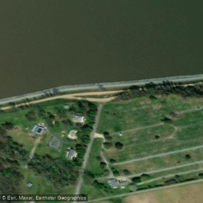
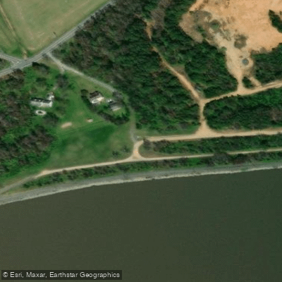
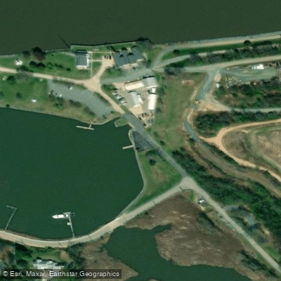
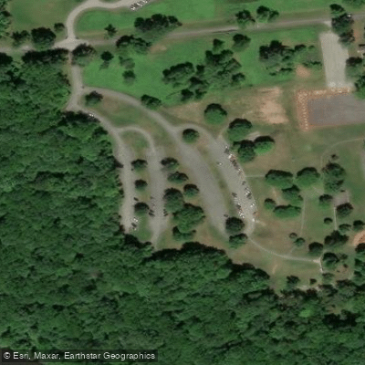
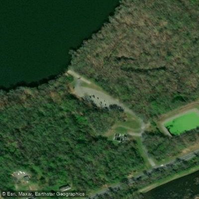
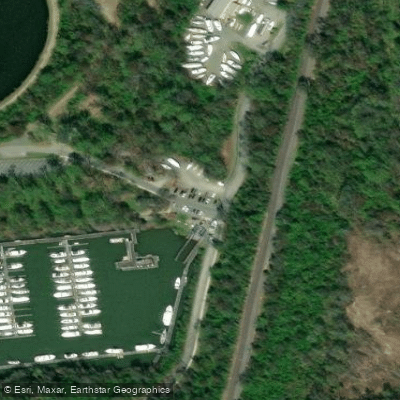
Learn how to get on Chesapeake and Delaware Canal. Uncover great paddling access points, boat ramps, and all the facilities you need for an unforgettable day on the water. Some locations shown may border or include private property. Always check property boundaries and applicable regulations before visiting. PaddleWays's Public & Private Land layer can help you plan your access with confidence.
Paddle smarter with real-time insights
Whether you're en route and conditions shift or you're looking for the best spot based on current flows, we enable you to make informed decisions on the fly.








Find Places to Paddle

Over 400,000 Places to Paddle
Every user gets free access to launch points, boat ramps, and public property parcels.


Tides, wind & water conditions (10 day forecast)
On open water, wind and tide matter as much as the weather. See the best times to paddle Chesapeake and Delaware Canal and check the marine forecast before you launch.
Loading tide predictions…
Paddling near Chesapeake and Delaware Canal
Lums Pond

Delaware River
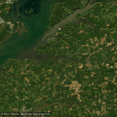
Sassafras River

Susquehanna River
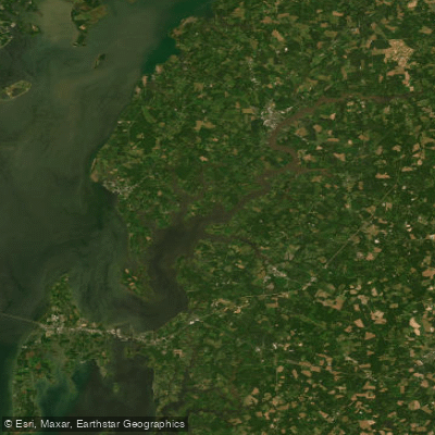
Chester River
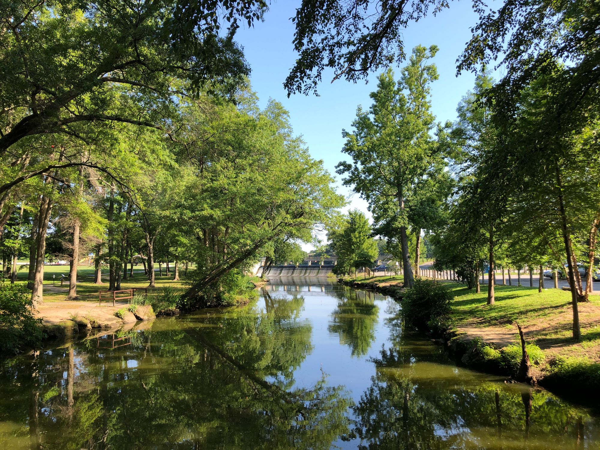
Saint Jones River
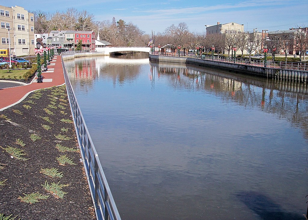
Cohansey River
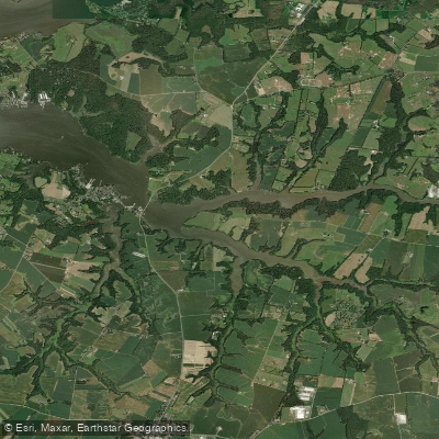
Bohemia River
Schuylkill River
Explore Delaware waters
Top paddling waters
Popular Cities
Loading popular cities...
Explore near Chesapeake and Delaware Canal
Access points
Nearby waters
More in Delaware

Smarter Paddling Starts in the App.
Paddleways gives you everything you need to plan smarter, paddle better, and own every trip from first launch to takeout.