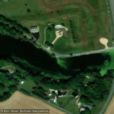
Curated by PaddleWays
RouteFlatwater
- Distance
- 5.2 mi
- Paddle time
- ~1.5 hrs
- Put-in → take-out
- Whitehall Landing Access → Goose Point Access
Low trees, flood debris and beaver activity
The Leipsic River is a scenic 16.7-mile waterway located in central Delaware, flowing generally eastward through Kent County before emptying into Delaware Bay.
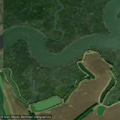
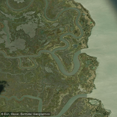
This relatively short river offers paddlers a unique and tranquil experience, particularly in its lower reaches where it winds through the pristine Bombay Hook National Wildlife Refuge. The most popular paddling section is the Lower Leipsic River, which stretches from the wildlife refuge to the river's mouth at Delaware Bay. This flatwater route is ideal for novice to intermediate paddlers, offering a peaceful journey through one of Delaware's most unspoiled natural areas.
Unlike many southern Delaware waterways, the Lower Leipsic is notably free of duck blinds, providing an uninterrupted view of the surrounding landscape. Paddlers on the Leipsic River can expect a mix of environments, from forested banks to expansive tidal marshes as they approach the bay.
The river's ecosystem supports a diverse array of wildlife, making it an excellent destination for nature enthusiasts and birdwatchers. Paddlers may spot resident nesting bald eagles, various shorebirds, and potentially even beavers, which have been known to be active near the railroad bridge on the western side of the route.
The best time to paddle the Leipsic River is typically from late spring through early fall when temperatures are mild and wildlife is most active. However, paddlers should be aware of potential summer heat and mosquitoes in the marshy areas. It's also wise to check tide tables, as the lower sections of the river can be influenced by tidal movements from Delaware Bay.
While the river is generally calm and suitable for leisurely paddling, kayakers and canoeists should be prepared for potential obstacles such as low-hanging trees, flood debris, and shallow areas, particularly during low tide. The river's width varies, becoming broader as it nears the bay, which can expose paddlers to wind and choppy conditions.
Access to the Leipsic River is primarily through Bombay Hook National Wildlife Refuge, which serves as the main put-in point for the lower section. The small town of Leipsic, located along the river's banks, offers a glimpse into the area's rich maritime history and can serve as a convenient stop for supplies or a brief exploration.
For those interested in multi-day trips, while the Leipsic River itself may be too short, it can be combined with explorations of the wider Delaware Bay area or nearby waterways like the St. Jones River to create a more extended paddling adventure.
Safety considerations include being prepared for sudden weather changes, carrying adequate water and sun protection, and being aware of boat traffic, particularly near the river's mouth. As always, life jackets are essential, and paddlers should inform someone of their trip plans before setting out.
The Leipsic River, though lesser-known compared to some of Delaware's other waterways, offers a serene paddling experience through one of the state's most beautiful and ecologically significant areas. Its accessibility and gentle nature make it an excellent choice for those seeking a peaceful day on the water surrounded by the natural beauty of Delaware's coastal region.
Curated routes
Hand-picked by the PaddleWays team, with put-ins, take-outs, paddle times and the hazards along the way.
RouteFlatwater
Hazards
No paddler has reported a hazard here yet, so these are the dams, falls and big rapids on our map. Hazards change with flows and storms, so check them before you launch.
From the community
Nobody has shared a trip on Leipsic River yet. Paddle it, then tell the next paddler how it went.
See exactly where the public can get on and off the river. Launch points and boat ramps are paired with PaddleWays' public land data so you know where you can legally land.
Public shoreline
11%of the river's shoreline is public
Most of the riverbank is private. Launch, land and camp only at public access points.
Flows, weather and a route-by-route verdict, so you know which stretch of the Leipsic River is worth paddling today.
No forecast data available.
Live flows, marked hazards and fresh trip reports from paddlers who were just on the water, all in one place.





Every user gets free access to launch points, boat ramps, and public property parcels.


Loading popular cities...
PaddleWays gives you everything you need to plan smarter, paddle better, and own every trip from first launch to takeout.