Curated by PaddleWays
RouteFlatwater
- Distance
- 10.3 mi
- Paddle time
- ~3.5 hrs
- Put-in → take-out
- Milford Boat Ramp → Cedar Creek Boat Ramp
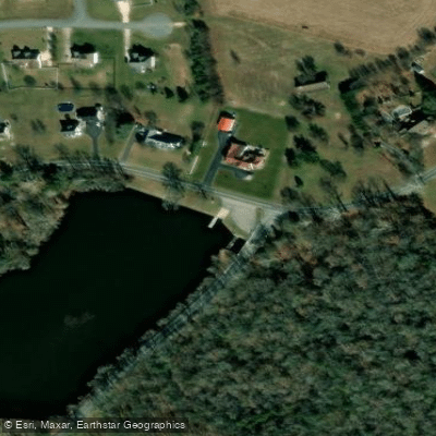
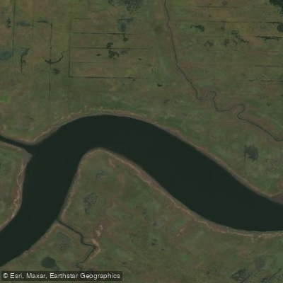
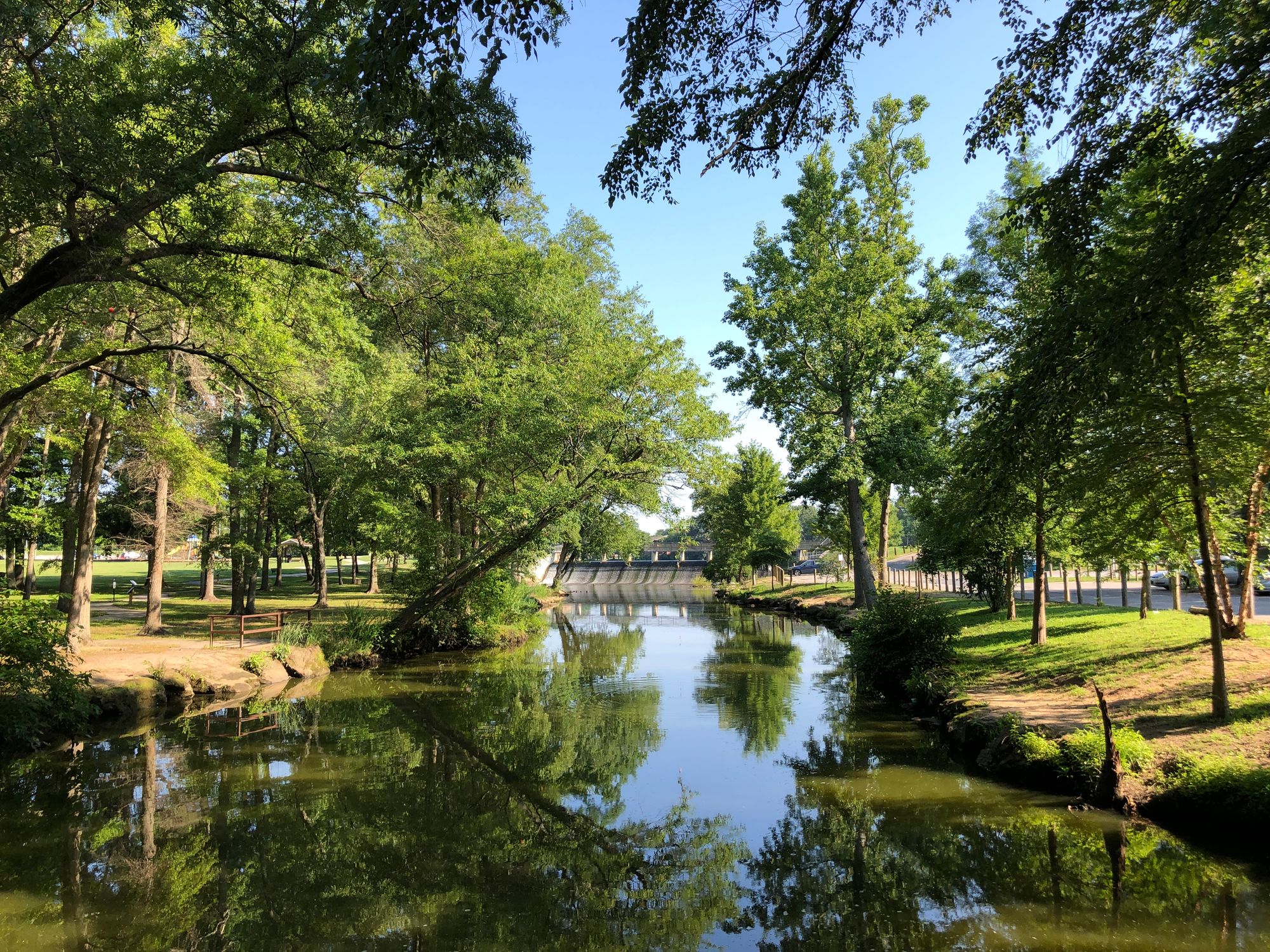
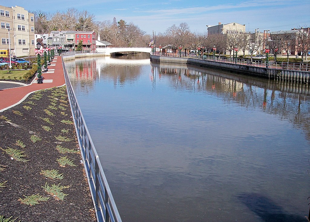
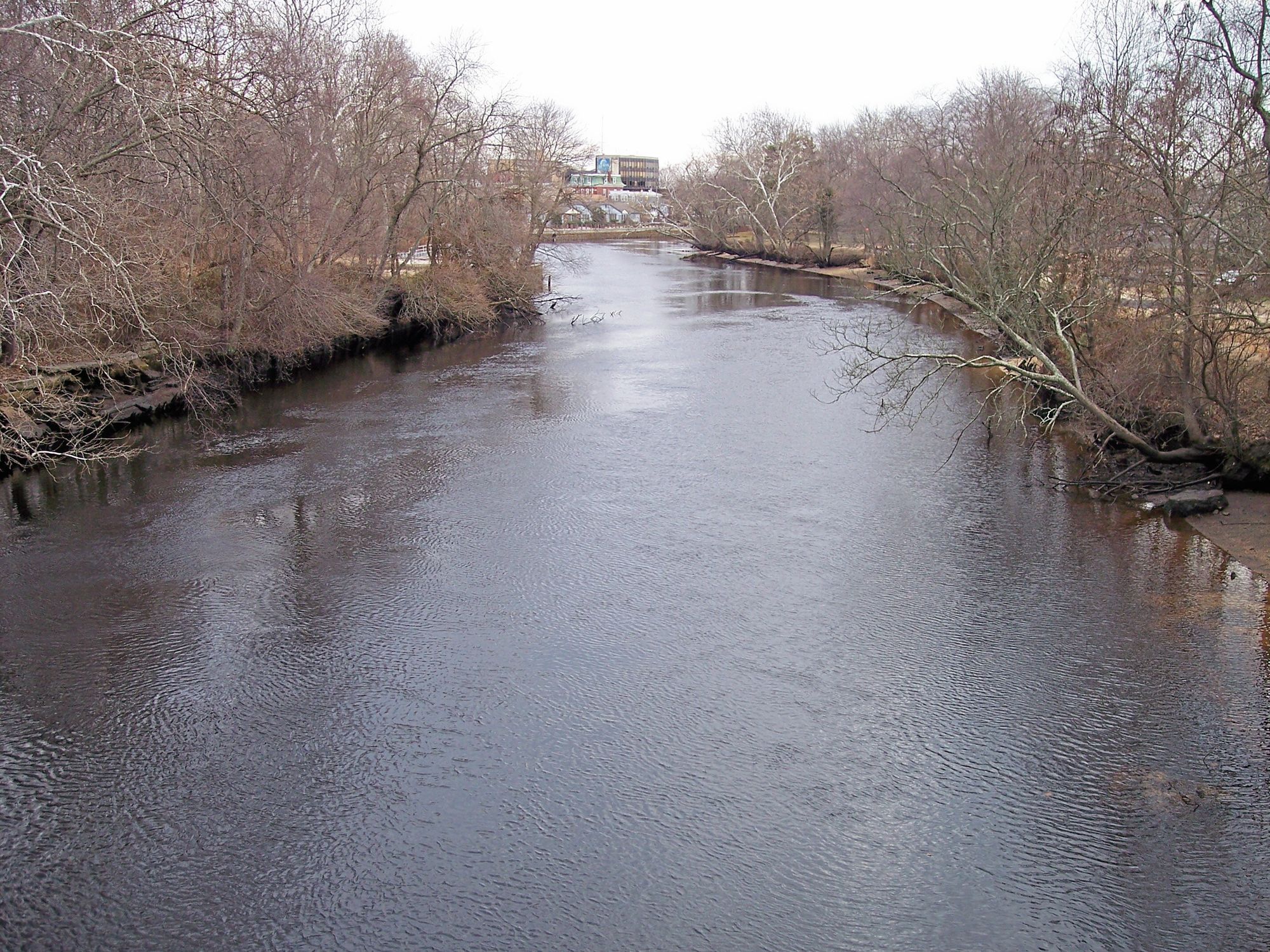
The Mispillion River is a scenic waterway located in southern Delaware, offering paddlers a serene journey through protected waters and diverse ecosystems. This river system, which includes several interconnected ponds and lakes, provides a range of paddling experiences suitable for beginners and intermediate paddlers alike. The river's headwaters begin near Milford, Delaware, and flow eastward towards the Delaware Bay.
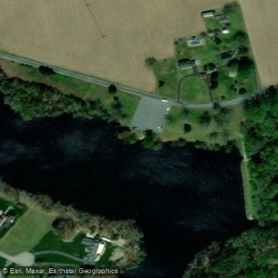
The watershed encompasses a series of millponds and preserves, including Abbott's Pond, Blairs Pond, Griffiths Lake, and Haven Lake, each offering its own unique paddling environment. These flatwater sections are ideal for novice paddlers and nature enthusiasts looking for a peaceful day on the water.
For those seeking a longer adventure, the main stem of the Mispillion River offers a 15-mile journey from downtown Milford to the Delaware Bay. This full-day trip takes paddlers through quiet waters and requires some endurance and preparation, as stopping points are limited along the way.
The Mispillion River watershed is best explored from spring through fall, with organized paddling events often running from April to October. These guided trips, frequently led by Abbott's Mill Nature Center in partnership with Milford Parks and Recreation Department, provide excellent opportunities to learn about the local ecosystem and history of the area.
Wildlife abounds along the Mispillion, with paddlers likely to encounter a variety of bird species including ospreys, belted kingfishers, and swallows. Turtles are commonly seen basking on logs, and the protected waters provide habitat for numerous fish species. The river's banks are lined with diverse vegetation, offering a changing landscape as you paddle downstream.
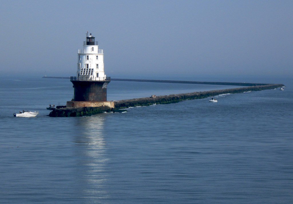
Notable landmarks include the historic Abbott's Mill, the DuPont Nature Center near the river's mouth, and the Mispillion Lighthouse. The river played a significant role in the region's industrial past, powering mills and supporting local communities. Today, it serves as an important recreational resource and wildlife corridor.
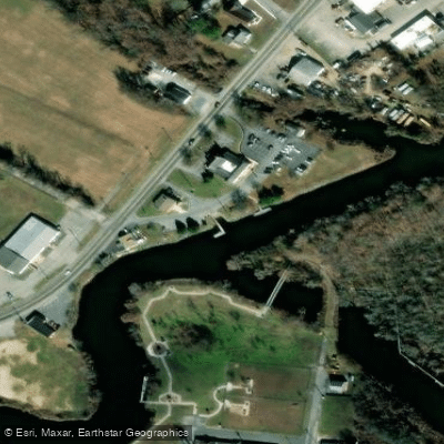
Access points are plentiful, with popular put-ins located behind the Milford Police Station, at Arena's in Milford, and at various preserves and ponds throughout the watershed. The town of Milford serves as the primary gateway to the river, offering amenities and services for paddlers.
Safety considerations include being prepared for limited stopping points on longer trips, wearing appropriate sun protection, and carrying sufficient water. As with all paddling trips, checking weather conditions and water levels before setting out is advisable.
While primarily known for day trips, the Mispillion River system can be combined with explorations of nearby Cedar Creek and the Delaware Bay shoreline for multi-day adventures. However, careful planning is necessary due to the limited camping options along the main river.
The Mispillion River offers a perfect blend of accessibility and natural beauty, making it a hidden gem for paddlers in Delaware. Whether you're looking for a short, leisurely paddle on a tranquil millpond or a full-day journey to the bay, the Mispillion provides a range of options to suit various skill levels and interests.
Curated routes
Hand-picked by the PaddleWays team, with put-ins, take-outs, paddle times and the hazards along the way.
RouteFlatwater
Hazards
No paddler has reported a hazard here yet, so these are the dams, falls and big rapids on our map. Hazards change with flows and storms, so check them before you launch.
From the community
Nobody has shared a trip on Mispillion River yet. Paddle it, then tell the next paddler how it went.
See exactly where the public can get on and off the river. Launch points and boat ramps are paired with PaddleWays' public land data so you know where you can legally land.
Public shoreline
18%of the river's shoreline is public
Most of the riverbank is private. Launch, land and camp only at public access points.
Flows, weather and a route-by-route verdict, so you know which stretch of the Mispillion River is worth paddling today.
No forecast data available.
Live flows, marked hazards and fresh trip reports from paddlers who were just on the water, all in one place.





Every user gets free access to launch points, boat ramps, and public property parcels.


Loading popular cities...
PaddleWays gives you everything you need to plan smarter, paddle better, and own every trip from first launch to takeout.