Bear Cut
- Saltwater
- Sea area
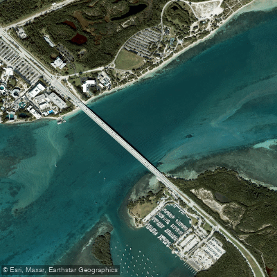
Bear Cut
- Saltwater
- Sea area
- Sq. miles
- 0.4
- Boat Ramps
- 0
- Access Points
- 0
- Campsites
- 1
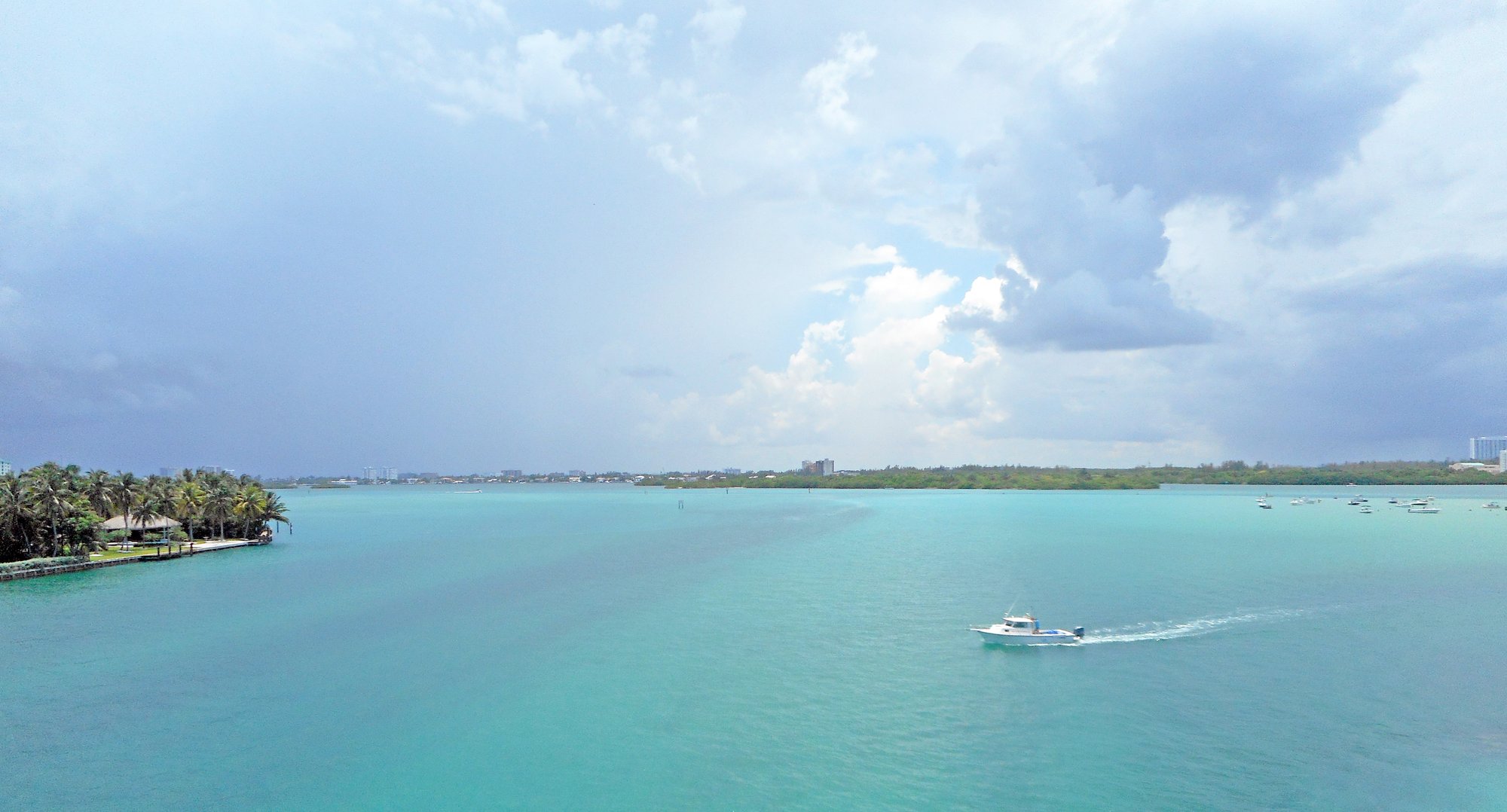
Bear Cut is a coastal channel separating Virginia Key from Key Biscayne in Biscayne Bay, Florida. It is a saltwater feature connecting the bay to the Atlantic Ocean, characterized by shallow seagrass beds and the presence of ancient fossilized reefs. The area is part of the larger Crandon Park and Bear Cut Preserve, a protected natural area. A primary launch point for paddlers is the shoreline at Bear Cut Preserve, where land-based trails provide beach access. Another common put-in is the public boat ramp at Key Biscayne Marina, which has a designated canoe/kayak launch area; parking fees may apply. Paddlers also launch from the Virginia Key/Hobie Beach area on the Rickenbacker Causeway, paddling south to reach the cut. The channel is spanned by the Bear Cut bridge, which links Virginia Key to Key Biscayne. Navigating Bear Cut requires careful planning regarding wind, surf, and tidal conditions. The area is exposed to wind and fetch, and conditions can change, so checking forecasts is essential. Tidal currents are a significant factor, and paddlers must plan to work with or against them accordingly. Boat traffic is present, particularly near the bridge and the marina areas. The route south from Virginia Key passes by the University of Miami's Rosenstiel School of Marine and Atmospheric Science. Paddling under the bridge leads to the historically significant "Black Beach" on Key Biscayne. The surrounding waters and mangrove forests are part of a vital ecosystem, and guided eco-tours, including kayak and snorkel excursions, are offered by Miami EcoAdventures from April through October. The water is generally clear, supporting vibrant marine life. The aesthetic is a mix of developed shorelines and protected natural habitats, with views of the Miami skyline in the distance. Facilities are limited to the launch points, with restrooms available at the Bear Cut Preserve nature center when open. The overall paddling experience is dynamic, influenced by urban proximity, open water, and the need for situational awareness regarding maritime conditions.
Water access, boat ramps & amenities
Learn how to get on Bear Cut. Uncover great paddling access points, boat ramps, and all the facilities you need for an unforgettable day on the water. Some locations shown may border or include private property. Always check property boundaries and applicable regulations before visiting. PaddleWays's Public & Private Land layer can help you plan your access with confidence.
Paddle smarter with real-time insights
Whether you're en route and conditions shift or you're looking for the best spot based on current flows, we enable you to make informed decisions on the fly.








Find Places to Paddle

Over 400,000 Places to Paddle
Every user gets free access to launch points, boat ramps, and public property parcels.


Tides, wind & water conditions (10 day forecast)
On open water, wind and tide matter as much as the weather. See the best times to paddle Bear Cut and check the marine forecast before you launch.
Loading tide predictions…
Explore Florida waters
Top paddling waters
Popular Cities
Loading popular cities...
Explore near Bear Cut

Smarter Paddling Starts in the App.
Paddleways gives you everything you need to plan smarter, paddle better, and own every trip from first launch to takeout.