Biscayne Bay
- Saltwater
- Bay
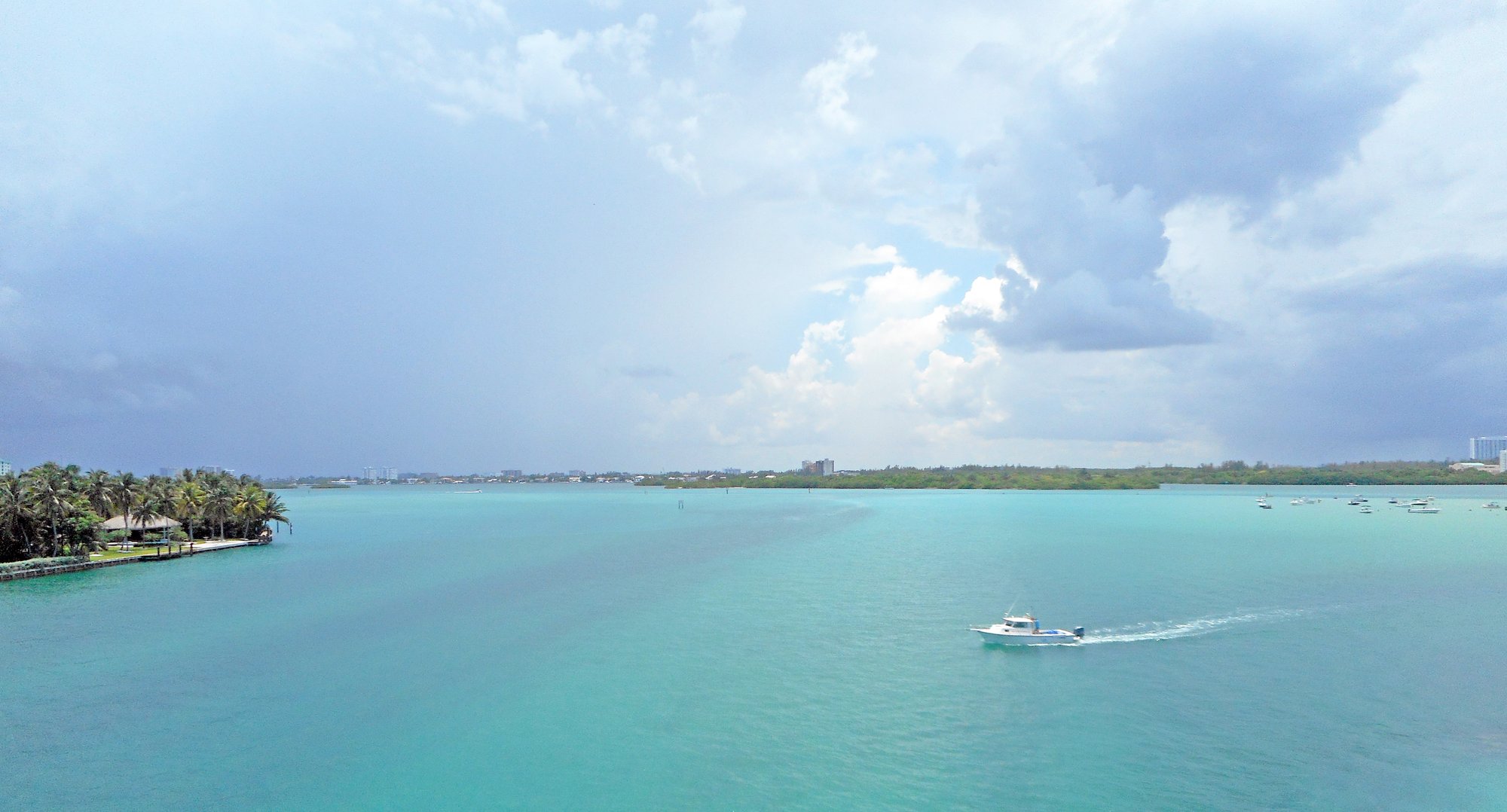
Biscayne Bay
- Saltwater
- Bay
- Sq. miles
- 217
- Boat Ramps
- 27
- Access Points
- 1
- Campsites
- 7
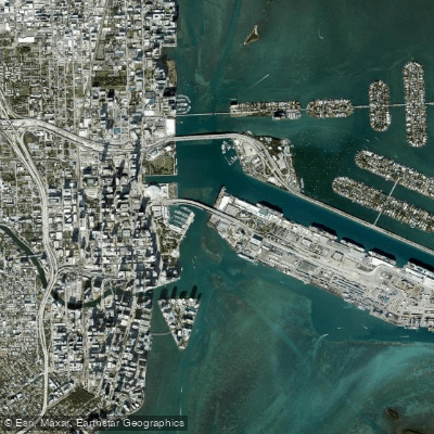
Biscayne Bay is a large, shallow, and predominantly clear saltwater bay running from Miami south to Key Largo, bordered on the east by a chain of islands including Elliott Key and Boca Chita Key. The bay is protected from the open Atlantic by these keys, resulting in generally calm waters ideal for paddling. The primary public launch for accessing the southern bay and Biscayne National Park is at Convoy Point, adjacent to the Dante Fascell Visitor Center in Homestead, where launching your own paddlecraft is free from a designated area. Overnight parking is permitted with a free permit from the visitor center for those camping on park islands. Other mainland launch points include Homestead Bayfront Park and, to the north, Key Biscayne and Oleta River State Park, which provide access to the more urban northern sections of the bay. The bay is approximately 72.5 miles as part of a designated circumnavigational paddling trail.
Notable routes include crossing the open bay from Convoy Point to Elliott Key, a one-way distance of nine miles, or to Boca Chita Key, about eleven miles one-way; these crossings are typically undertaken by experienced paddlers planning to camp. Within the sheltered areas of the national park, popular destinations include the extremely shallow and remote Jones Lagoon, known for marine life like rays and jellyfish, and the mangrove-lined Hurricane Creek. The northern, narrower section of the bay near Miami experiences heavier weekend boat traffic, and all paddlers should be prepared for fast-moving motorboats throughout the bay, using a flag on their craft for visibility. The open water crossing at Government Cut in Miami is noted for challenging water conditions. Wind can be a significant factor in open water areas, and checking weather forecasts is essential.
The bay's aesthetic is defined by mangrove-fringed shorelines, seagrass habitats, and clear, shallow waters with views of the Miami skyline in the north. Wildlife sightings commonly include manatees, sea turtles, stingrays, and a wide variety of wading birds; paddlers must stay at least 300 feet away from bird rookeries. Guided tours and rentals are available through private operators in areas like Miami Beach and Key Biscayne, but the National Park Service does not currently offer rentals. There are no public kayak launches at the S26 lock structure on the Miami River.
Water access, boat ramps & amenities
Learn how to get on Biscayne Bay. Uncover great paddling access points, boat ramps, and all the facilities you need for an unforgettable day on the water. Some locations shown may border or include private property. Always check property boundaries and applicable regulations before visiting. PaddleWays's Public & Private Land layer can help you plan your access with confidence.
Paddle smarter with real-time insights
Whether you're en route and conditions shift or you're looking for the best spot based on current flows, we enable you to make informed decisions on the fly.








Find Places to Paddle

Over 400,000 Places to Paddle
Every user gets free access to launch points, boat ramps, and public property parcels.


Tides, wind & water conditions (10 day forecast)
On open water, wind and tide matter as much as the weather. See the best times to paddle Biscayne Bay and check the marine forecast before you launch.
Loading tide predictions…
Explore Florida waters
Top paddling waters
Popular Cities
Loading popular cities...
Explore near Biscayne Bay
Access points
- Pine Tree Park Paddlecraft Launch
- Watson Island Park Boat Ramp
- Morningside Park Boat Ramp
- Legion Park Boat Ramp
- Oleta River State Park - Outdoor Center Paddlecraft Rentals and Launch
- Rickenbaker Causeway Beach South - Paddlecraft Access Points
- Pelican Harbor Park Boat Ramp
- Maurice Gibbs Park (MIAMI BEACH RESIDENTS ONLY)
- Biscayne National Park - Convoy Point Paddlecraft Launch
- Seminole Boat Ramp
- Watson Island Lot 70 Boat Ramp
- Matheson Hammock County Park & Marina Boat Ramp
- All 121 spots
More in Florida

Smarter Paddling Starts in the App.
Paddleways gives you everything you need to plan smarter, paddle better, and own every trip from first launch to takeout.