Lake Okeechobee
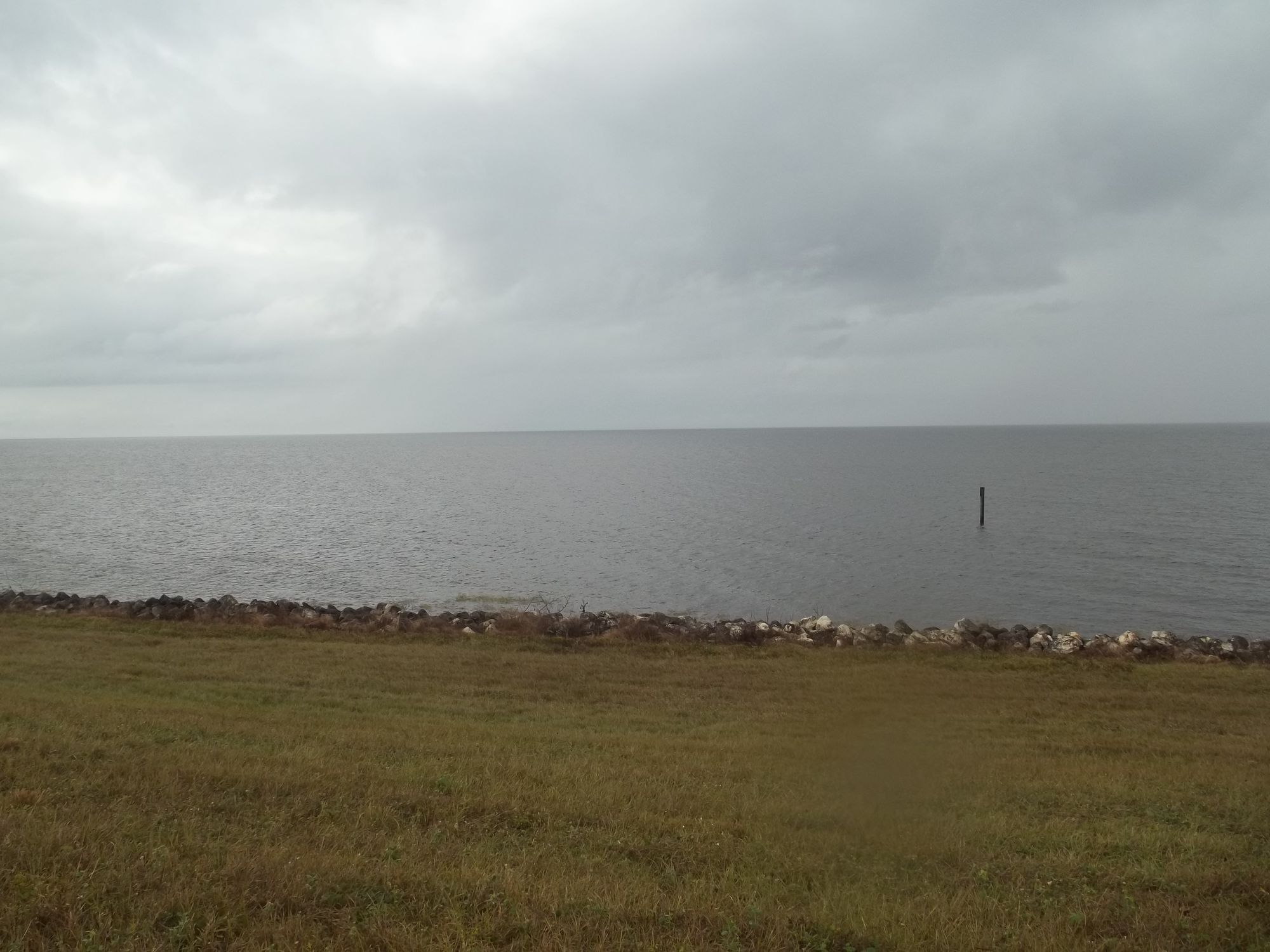
Lake Okeechobee
- Boat Ramps
- 4
- Access Points
- 4
- Campsites
- 17
Lake Okeechobee, Florida's largest freshwater lake, offers a unique paddling experience for adventurous kayakers. The lake is surrounded by a levee with a channel dredged around the outer perimeter for larger boats. Paddlers can access the lake through various locks, including the Port Mayaca Lock on the eastern side.
Crossing Lake Okeechobee by kayak is a significant undertaking, with the lake spanning approximately 25 miles across. A group of experienced paddlers completed the crossing in about 6 hours and 24 minutes, averaging 4.6 mph. The lake's vast expanse creates an otherworldly paddling environment, with paddlers reporting the horizon seeming to disappear as sky and water merge visually.
Wildlife viewing opportunities abound, with paddlers reporting sightings of alligators, ospreys, various duck species, and other birds. The lake is also home to manatees, though encounters may be rare. Along the lake's edges, paddlers will notice a layer of trees and islands separating the main lake from the perimeter channel.
Safety is a primary concern when paddling Lake Okeechobee. The lake can become dangerous in poor weather conditions, so paddlers should carefully monitor forecasts and have a backup plan, such as using the rim canal. Paddlers should carry ample water and be prepared for long stretches without opportunities to exit the water.
The lake's water is generally calm in good weather, but can become choppy with wind. Paddlers should be aware of boat traffic, especially in the dredged channel. The lake's size and exposure make it susceptible to rapid weather changes, requiring vigilance and preparedness.
Camping options exist around the lake, with some paddlers reporting stays at Roland Martin's Marina in Clewiston. For those attempting a cross-lake journey, careful planning and support are essential, as demonstrated by the group who completed the crossing as part of a larger trek across Florida via the Okeechobee Waterway.
Water access, boat ramps & amenities
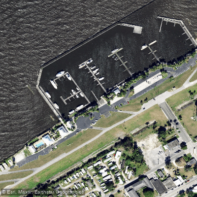
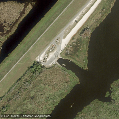
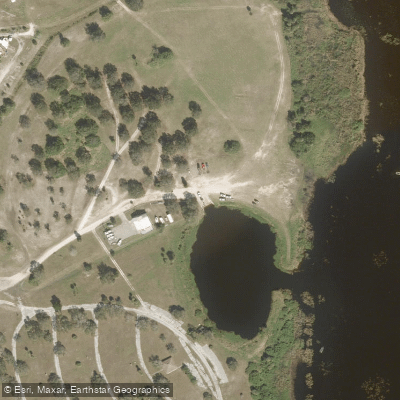
Learn how to get on Lake Okeechobee. Uncover great paddling access points, boat ramps, and all the facilities you need for an unforgettable day on the water. Some locations shown may border or include private property. Always check property boundaries and applicable regulations before visiting. PaddleWays's Public & Private Land layer can help you plan your access with confidence.
Paddle smarter with real-time insights
Whether you're en route and conditions shift or you're looking for the best spot based on current flows, we enable you to make informed decisions on the fly.








Find Places to Paddle

Over 400,000 Places to Paddle
Every user gets free access to launch points, boat ramps, and public property parcels.


Water and weather conditions (10 day forecast)
See the best times to paddle Lake Okeechobee and check the forecast before you go.
INDUSTRIAL CANAL AT CLEWISTON
All Flow Stations
Paddling near Lake Okeechobee
Explore Florida waters
Top paddling waters
Popular Cities
Loading popular cities...
Explore near Lake Okeechobee
Access points
- City of Pahokee Marina Boat Ramp
- Cliff Betts Jr Lakeside Recreation Area Boat Ramp
- Okee Tantie Recreation Area Airboat Ramp
- Canal Point Public Boat Ramp
- C-51 W.p.b. Canal Bridge
- Taylor Creek Bridge
- Sr-76 & St. Lucie Canal Bridge
- Lake Okeechobee Rim Cana Bridge
- Lettuce Creek Bridge
- Kissimmee River Bridge
- Harney Pond Canal Bridge
- Lemkin Creek Bridge
- All 44 spots
Nearby waters
More in Florida

Smarter Paddling Starts in the App.
Paddleways gives you everything you need to plan smarter, paddle better, and own every trip from first launch to takeout.