Lake Seminole
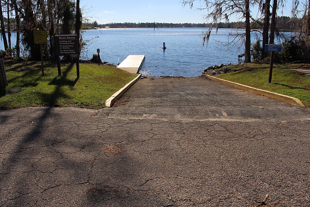
Lake Seminole
- Boat Ramps
- 23
- Access Points
- 29
- Campsites
- 7
Lake Seminole is a 37,500-acre reservoir located at the southwestern corner of Georgia where the Chattahoochee and Flint Rivers converge to form the Apalachicola River. The lake spans parts of Decatur, Gadsden, and Seminole Counties in Georgia, extending to the Florida state line. Created by the Jim Woodruff Dam (completed in 1957), the lake offers diverse paddling opportunities through open waters, numerous coves, and scenic tributaries.
**Access Points:** Multiple public launches provide access around the lake. Seminole State Park on the Georgia side offers boat ramps, camping, and cottages near the water's edge. Three Rivers State Park on the Florida side provides additional access along the lake's southwest shore. Other launches include Clyde Hopkins Park near Chattahoochee and various Wildlife Management Area access points.
**Character and Conditions:** The lake features a mix of environments—from protected coves ideal for kayaking to expansive open waters better suited for experienced paddlers. The small cove at Seminole State Park typically offers smooth water for paddling and swimming. Water levels can fluctuate based on dam operations, affecting sandbar accessibility and current strength near the dam and river mouths.
**Hazards:** Paddlers should be cautious of motorized boat traffic, especially near boat ramps and on weekends. Strong currents may occur near the dam area and where tributaries enter the lake. Wind can create challenging conditions on open water sections. The lake's size (37,500 acres) requires attention to weather conditions and navigation skills.
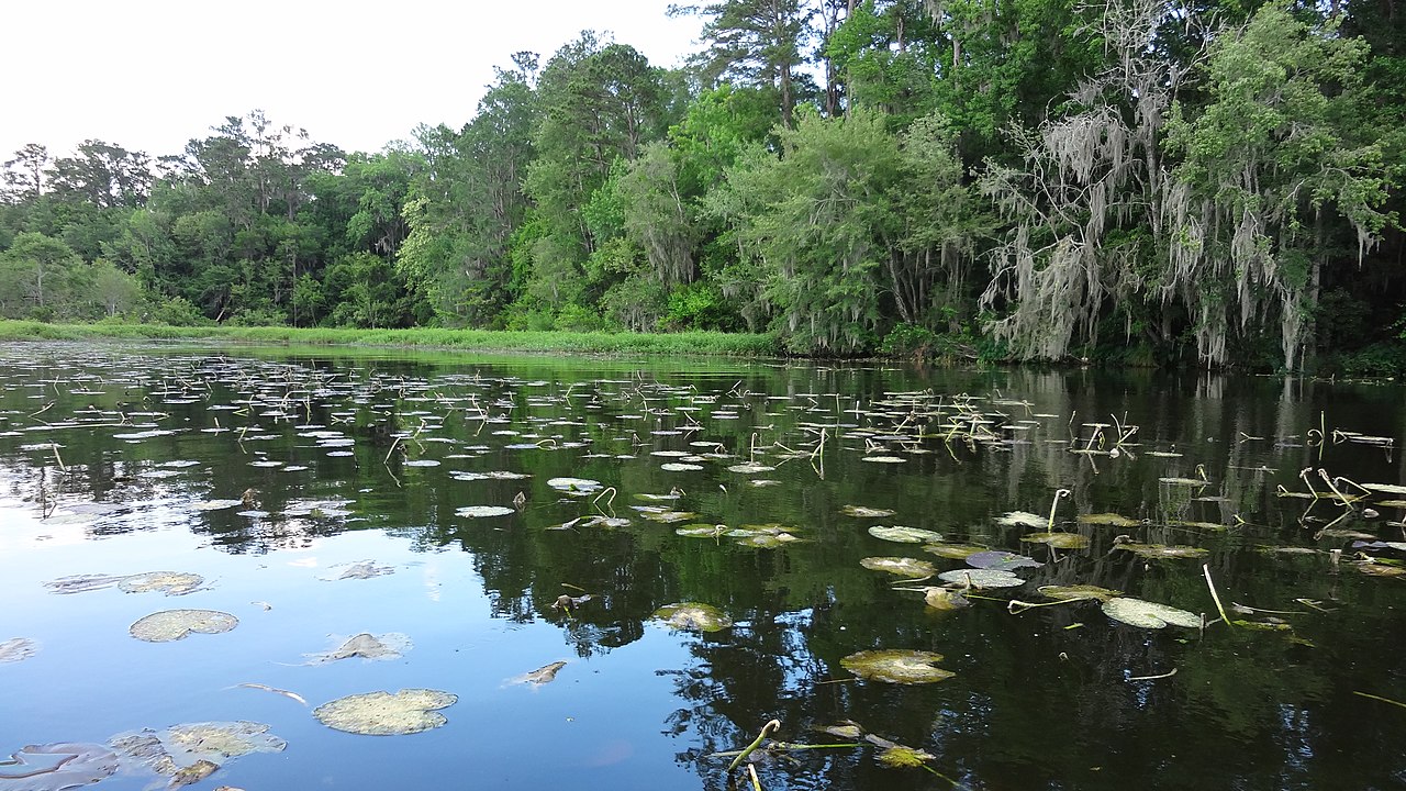
**Wildlife and Scenery:** The lake's diverse habitats support alligators, ospreys, bald eagles, various waterfowl, and abundant fish populations including largemouth bass, crappie, and catfish. Cypress trees, longleaf pine forests, and limestone bluffs characterize the shoreline. The area preserves remnants of primitive longleaf wiregrass ecology alongside the flooded river valleys.
Water access, boat ramps & amenities
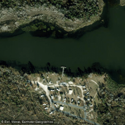
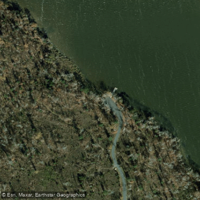
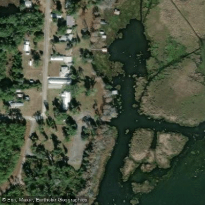
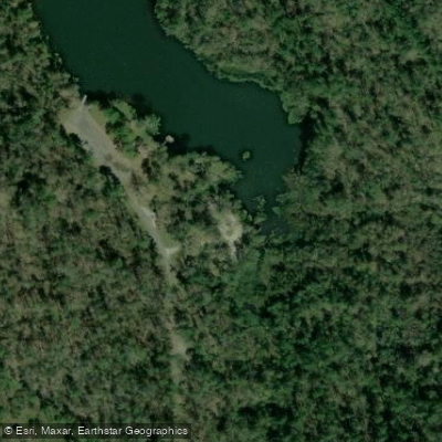
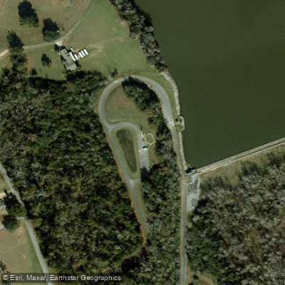
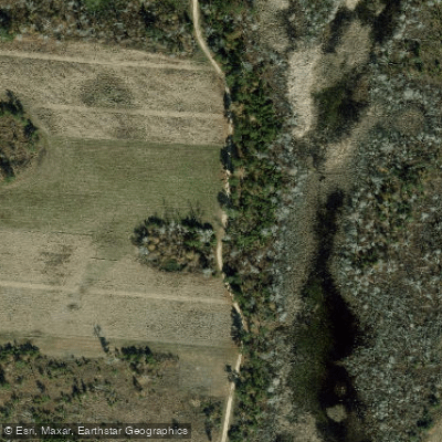
Learn how to get on Lake Seminole. Uncover great paddling access points, boat ramps, and all the facilities you need for an unforgettable day on the water. Some locations shown may border or include private property. Always check property boundaries and applicable regulations before visiting. PaddleWays's Public & Private Land layer can help you plan your access with confidence.
Paddle smarter with real-time insights
Whether you're en route and conditions shift or you're looking for the best spot based on current flows, we enable you to make informed decisions on the fly.








Find Places to Paddle

Over 400,000 Places to Paddle
Every user gets free access to launch points, boat ramps, and public property parcels.


Water and weather conditions (10 day forecast)
See the best times to paddle Lake Seminole and check the forecast before you go.
No forecast data available.
Paddling near Lake Seminole
Lake Talquin
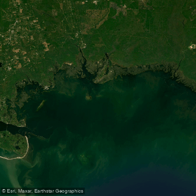
Apalachee Bay

Flint River
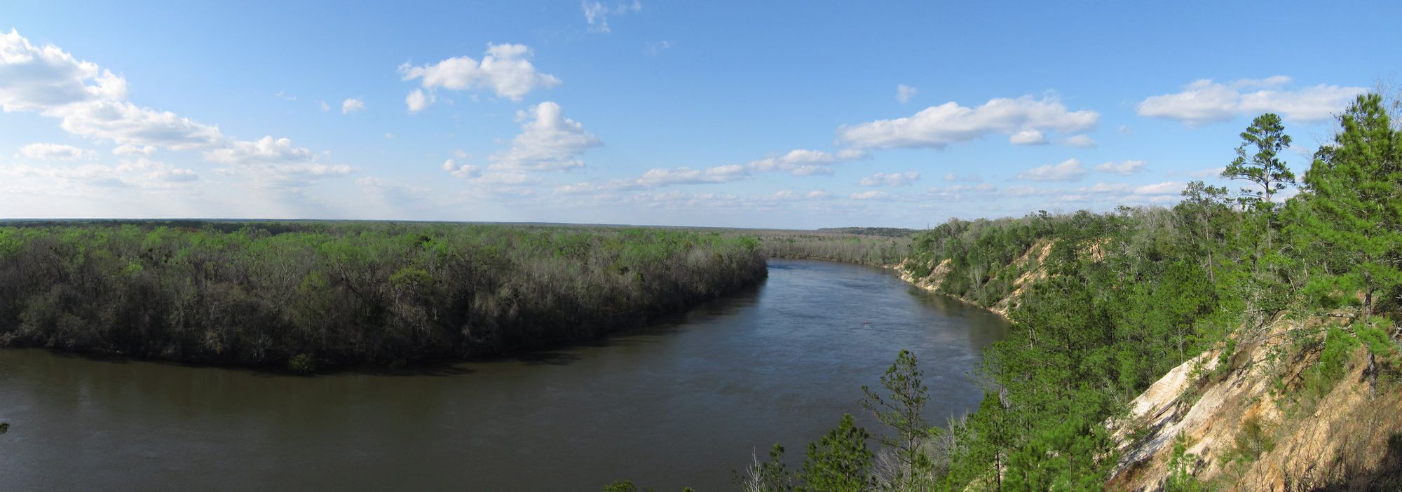
Apalachicola River
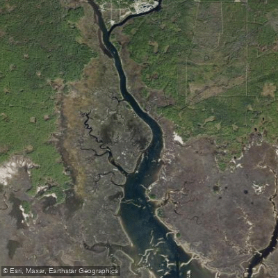
Saint Marks River

Chattahoochee River
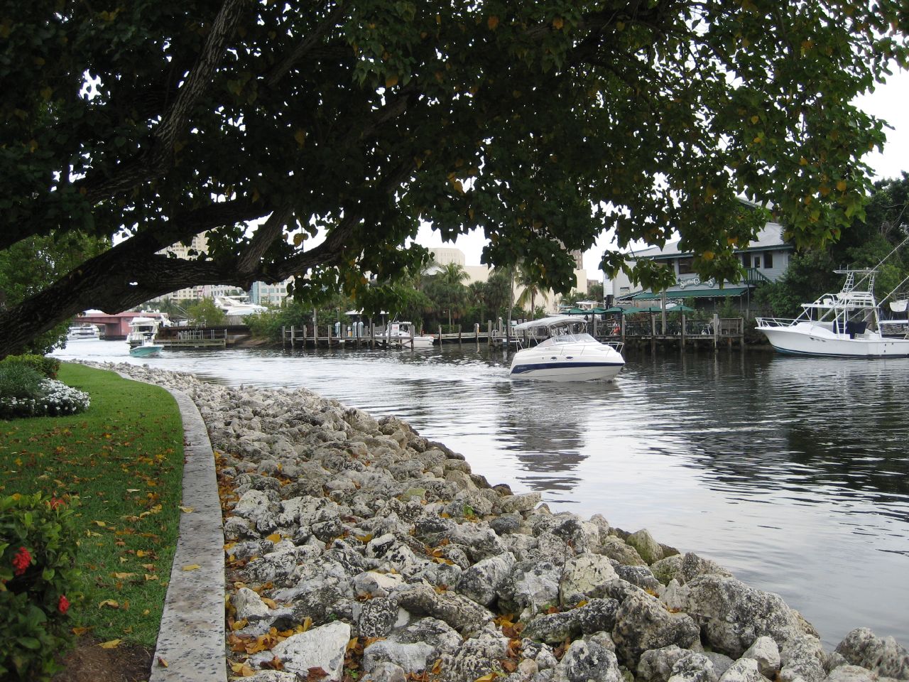
New River
Goose Creek Bay
Lake Jackson
Explore Florida waters
Top paddling waters
Popular Cities
Loading popular cities...
Explore near Lake Seminole
Access points
- Lake Seminole Ten Mile Still Boat Ramp
- Georgia - Lake Seminole Recreation Area - East Bank Campground
- Cummings Landing Boat Ramp
- Wingate Lodge - Marina
- Ray's Lake Landing Boat Ramp
- Spring Creek Park Boat Ramp
- Reynoldsville Park Boat Ramp
- East Bank Campground Boat Ramp
- Sealy's Point Boat Ramp
- Faceville Landing Boat Ramp
- Three Rivers State Park - General Use Area Boat Ramp (small boats)
- Arnold Public Boat Ramp
- All 55 spots
Nearby waters
More in Florida

Smarter Paddling Starts in the App.
Paddleways gives you everything you need to plan smarter, paddle better, and own every trip from first launch to takeout.