Boca Ciega Bay
- Saltwater
- Bay
Boca Ciega Bay
- Saltwater
- Bay
- Sq. miles
- 14
- Boat Ramps
- 18
- Access Points
- 0
- Campsites
- 16
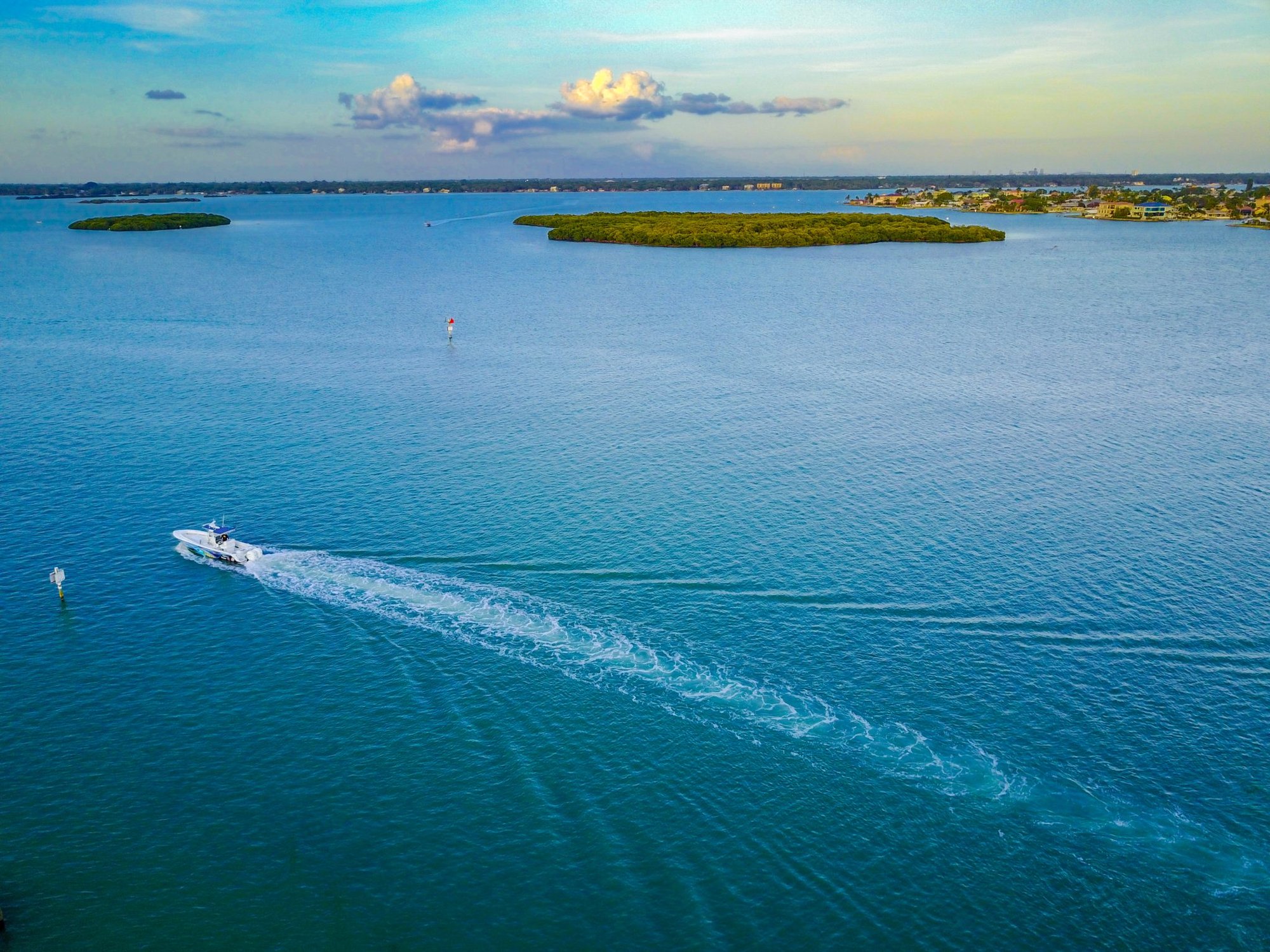
Boca Ciega Bay is a wide section of the Intracoastal Waterway (ICW) on Florida's Gulf Coast, characterized by sheltered, generally calm waters suitable for kayaking, canoeing, and stand-up paddleboarding. The bay features several small islands within the Pinellas County Aquatic Preserve, located just north of Boca Ciega Millennium Park. Multiple public access points exist for paddlers. Boca Ciega Millennium Park in Seminole offers a designated kayak launch with a rack and rinse hose, though the walk from the parking lot to the water can be long, especially at low tide, making the launch challenging unless used within three hours of high tide. Other documented launch points include Gulfport City Marina, which has a public boat ramp, parking, and dock facilities, and Keegan Clair Park in Indian Rocks Beach. The bay is tidal, and paddlers must plan around the tide stage for ease of launch and to navigate the shallows. As part of the ICW, boat traffic is a significant consideration, requiring vigilance, especially in channels and near marinas. The water is mostly sheltered from larger waves, but wind exposure can vary across the open bay. The area offers views of coastal mangroves and wildlife, with horseshoe crabs noted in the shallows. The surrounding parks, like Boca Ciega Millennium Park, provide amenities such as walking trails, boardwalks, and an observation tower. Paddling is feasible year-round, with calm conditions often best in the morning when winds are light.
Water access, boat ramps & amenities
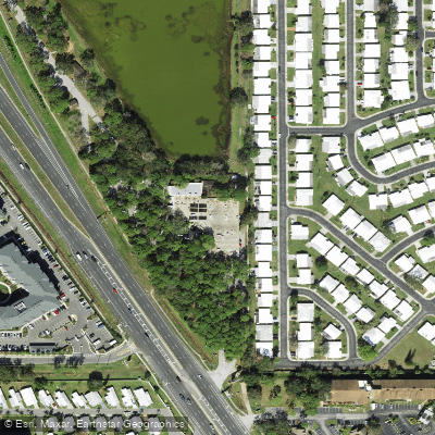
Learn how to get on Boca Ciega Bay. Uncover great paddling access points, boat ramps, and all the facilities you need for an unforgettable day on the water. Some locations shown may border or include private property. Always check property boundaries and applicable regulations before visiting. PaddleWays's Public & Private Land layer can help you plan your access with confidence.
Paddle smarter with real-time insights
Whether you're en route and conditions shift or you're looking for the best spot based on current flows, we enable you to make informed decisions on the fly.








Find Places to Paddle

Over 400,000 Places to Paddle
Every user gets free access to launch points, boat ramps, and public property parcels.


Tides, wind & water conditions (10 day forecast)
On open water, wind and tide matter as much as the weather. See the best times to paddle Boca Ciega Bay and check the marine forecast before you launch.
Loading tide predictions…
Paddling near Boca Ciega Bay
Hillsborough River
Manatee River
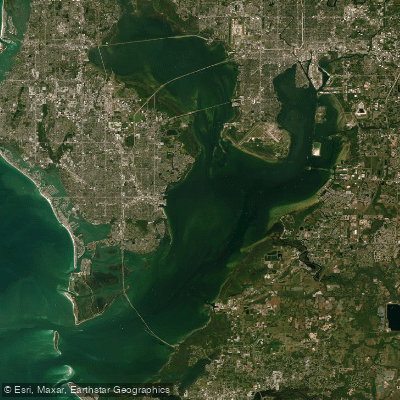
Tampa Bay
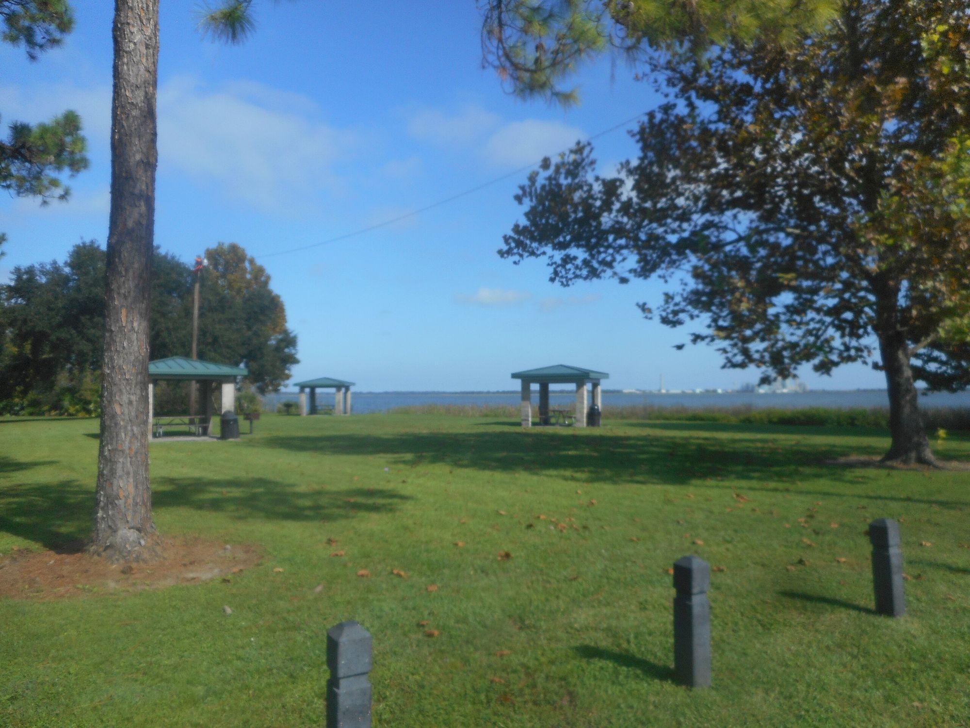
Lake Parker
Pithlachascotee River
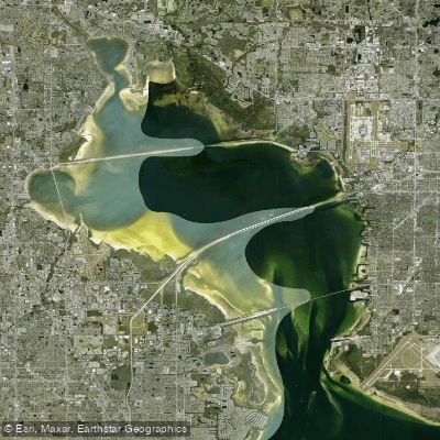
Old Tampa Bay
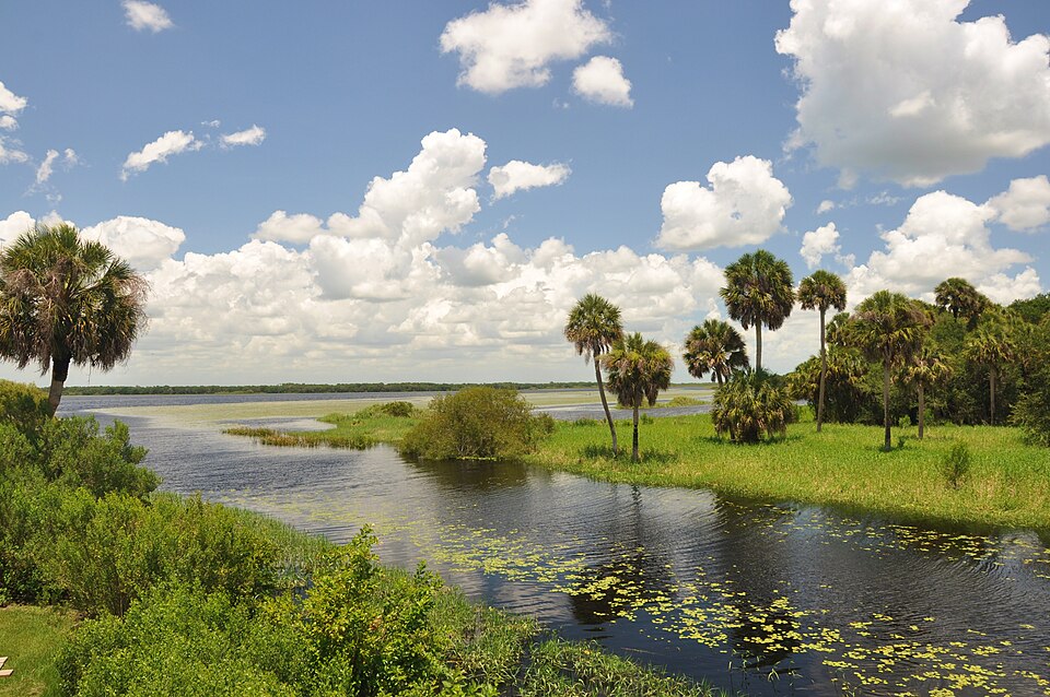
Myakka River
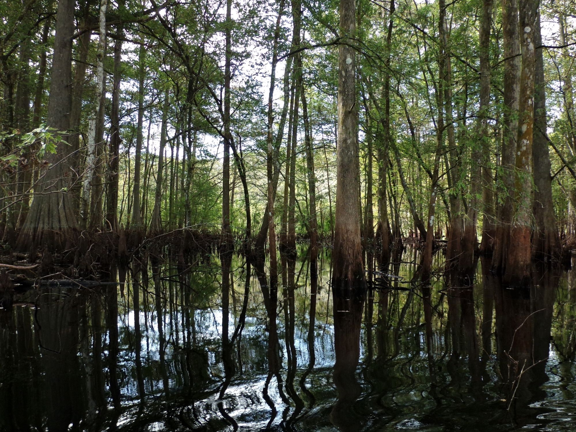
Withlacoochee River
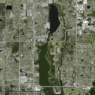
Lake Seminole
Explore Florida waters
Top paddling waters
Popular Cities
Loading popular cities...
Explore near Boca Ciega Bay
Access points
- Madeira Beach Municipal Marina
- Redington Shores Del Bello Park Kayak Launch
- Treasure Island 100th Avenue Boat Ramp
- Gulfport East Beach Paddlecraft Access
- Jungle Prada Boat Ramp
- Jungle Prada Boat Ramp
- Treasure Island 100th Avenue Public Boat Ramp
- Pinellas War Veterans Memorial Park - Canoe Launch
- Gulfport City Marina Boat Ramp
- Clam Bayou Nature Park - Miriam Street Paddlecraft Launch
- Egan Park Ramp
- Gulfport City Marina
- All 71 spots
Nearby waters
More in Florida

Smarter Paddling Starts in the App.
Paddleways gives you everything you need to plan smarter, paddle better, and own every trip from first launch to takeout.