Tampa Bay
- Saltwater
- Bay
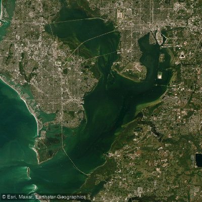
Tampa Bay
- Saltwater
- Bay
- Sq. miles
- 325
- Boat Ramps
- 60
- Access Points
- 0
- Campsites
- 23
Tampa Bay is a large, dynamic estuary on Florida's Gulf Coast, offering paddlers a mix of open bay waters, protected mangrove tunnels, and coastal islands. The region features several premier launch sites and paddling trails, particularly within parks and preserves. Key access points include the Topwater Kayak Outpost at Fort De Soto Park, which provides a launch for a marked 2.25-mile loop trail through calm, mangrove-protected backwater into Mullet Key Bayou. Another major launch is at Weedon Island Preserve in St. Petersburg, adjacent to a fishing pier, providing access to the South Paddling Trail, a marked 4-mile loop. The preserve also features a vendor, ECOmersion, that rents canoes and kayaks near the main lot. Paddling conditions are heavily influenced by tides and wind. At Weedon Island, at least a foot of water is needed to navigate the human-made mangrove tunnels; otherwise, paddlers may have to trudge through muck at low tide. Tides and winds can significantly affect trip difficulty, and paddlers are advised to consult local tide charts and plan for a paddling speed of about two miles per hour under normal conditions. The open waters of the bay and near barrier islands like Anclote Key can become rough during windy or stormy weather, requiring careful planning. Motorboat traffic is a consistent hazard, and paddlers should stay to the right and turn into the wake of approaching boats. The area is rich in wildlife. Paddlers may encounter dolphins, manatees, stingrays, small sharks, and a wide variety of birds including roseate spoonbills, white pelicans, herons, osprey, and eagles. The aesthetic varies from the clear waters and white sand beaches near Shell Key Preserve and Fort De Soto to the shaded, tangled prop roots of red mangrove tunnels. Facilities at launch sites like Weedon Island include restrooms, a canoe washing station, and sometimes rental vendors. Regulations require a readily accessible Coast Guard-approved personal flotation device for each occupant, with children under six required to wear one. Glass containers, alcoholic beverages, smoking, and domesticated animals are prohibited in preserves like Weedon Island. For safety, paddlers should file a float plan, bring ample water, sunscreen, insect repellent, and wear protective clothing, as mosquitoes can be prevalent around dawn and dusk.
Water access, boat ramps & amenities
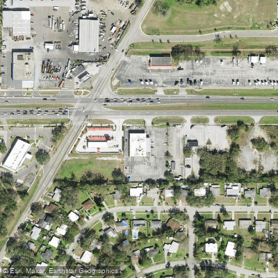
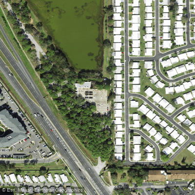
Learn how to get on Tampa Bay. Uncover great paddling access points, boat ramps, and all the facilities you need for an unforgettable day on the water. Some locations shown may border or include private property. Always check property boundaries and applicable regulations before visiting. PaddleWays's Public & Private Land layer can help you plan your access with confidence.
Paddle smarter with real-time insights
Whether you're en route and conditions shift or you're looking for the best spot based on current flows, we enable you to make informed decisions on the fly.








Find Places to Paddle

Over 400,000 Places to Paddle
Every user gets free access to launch points, boat ramps, and public property parcels.


Tides, wind & water conditions (10 day forecast)
On open water, wind and tide matter as much as the weather. See the best times to paddle Tampa Bay and check the marine forecast before you launch.
Loading tide predictions…
Paddling near Tampa Bay
Manatee River
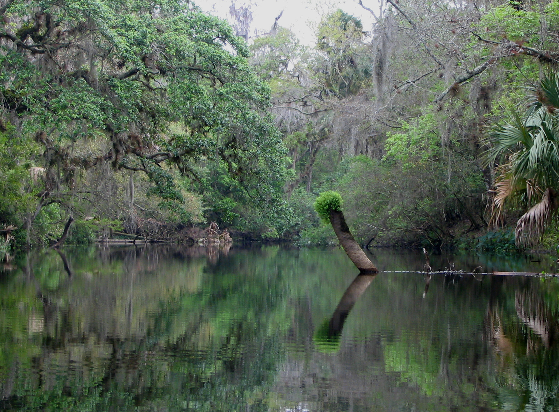
Hillsborough River
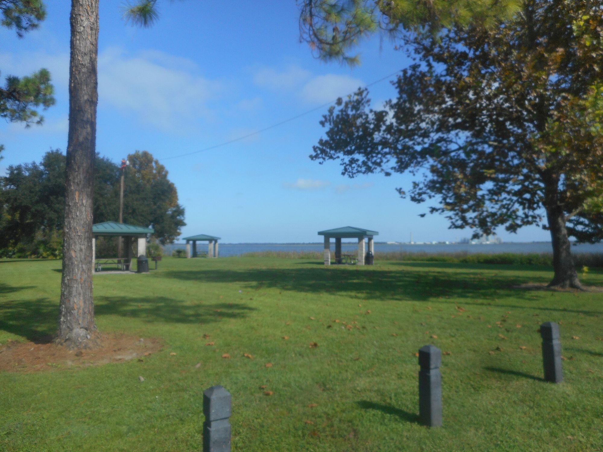
Lake Parker
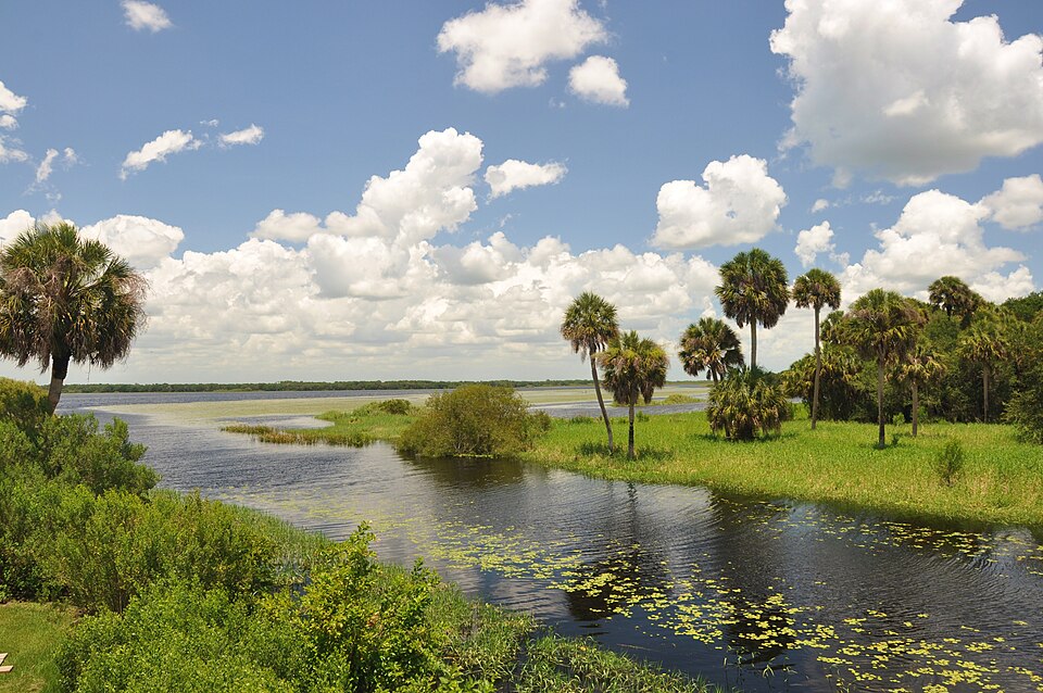
Myakka River
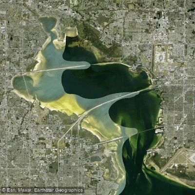
Old Tampa Bay
Pithlachascotee River
Withlacoochee River
Boca Ciega Bay
Lake Seminole
Explore Florida waters
Top paddling waters
Popular Cities
Loading popular cities...
Explore near Tampa Bay
Access points
- Sunshine Skyway North Rest Area - Paddlecraft Beach
- 4th Street North Boat Ramp
- Safety Harbor Municipal Marina - Paddlecraft Launch
- Coffee Pot Bayou Boat Ramp
- Terra Ceia Bay Highway 19 Access Point South Boat Ramp
- MacDill AFB Marina (Military Recreational Facility)
- Terra Ceia Bay at Highway 19 Northbound - Paddlecraft Access
- Coquina Key Park Kayak Launch
- Philippe Park - Boat Ramp
- Terra Ceia Preserve State Park - Frog Creek Kayak Access
- St. Pete - 4th Street North Undeveloped Launch Site
- Bay Grove Landings Marina (aka. Jack Willie's) CLOSED
- All 247 spots
Nearby waters
More in Florida

Smarter Paddling Starts in the App.
Paddleways gives you everything you need to plan smarter, paddle better, and own every trip from first launch to takeout.