Lettuce Lake
- Saltwater
- Sea area
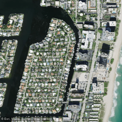
Lettuce Lake
- Saltwater
- Sea area
- Sq. miles
- 0
- Boat Ramps
- 0
- Access Points
- 0
- Campsites
- 2
Lettuce Lake is a natural feature within Lettuce Lake Conservation Park, a popular park in Hillsborough County, Florida. The park lies within the floodplain of the Hillsborough River, and the lake itself is part of this riverine system, offering a paddling environment characterized by a hardwood swamp forest. The primary access point for paddlers is the dedicated kayak and canoe launch within the park, located near parking lot #4. The launch is closed for reconstruction, and on-site rentals are suspended. The park offers canoe and kayak rentals for up to four hours, with an additional hourly fee. There is a nominal entry fee to access the park. The lake connects to the Hillsborough River, making it a potential starting or ending point for longer river trips. One established route is part of the state paddling trail system, running 11 miles from John B. Sargeant Park to Lettuce Lake Park. The section of the Upper Hillsborough River leading to Lettuce Lake is generally an easy paddle suitable for beginners, though one upstream section known as Seventeen Runs has many obstructions and is considered difficult. The overall experience is quiet and serene, focused on wildlife observation. Paddlers can expect to see a variety of aquatic birds, American alligators, river otters, turtles, and possibly manatees. The area is a haven for nature study, with an interpretive center in the park. The water is cool and clear, lined with ancient cypress trees and emergent vegetation. The park features amenities such as picnic areas, an exercise trail, and a boardwalk, though pets and bicycles are not permitted on the boardwalk. Grills, including propane or gas types, are not permitted in the park.
Water access, boat ramps & amenities
Learn how to get on Lettuce Lake. Uncover great paddling access points, boat ramps, and all the facilities you need for an unforgettable day on the water. Some locations shown may border or include private property. Always check property boundaries and applicable regulations before visiting. PaddleWays's Public & Private Land layer can help you plan your access with confidence.
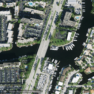
Cypress Creek Canal C-14 Bridge
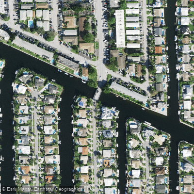
Old Pompano Canal G-16 Bridge
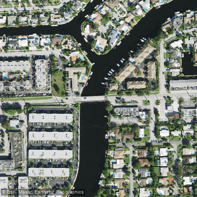
Cypress Ck C-14 Canal Bridge
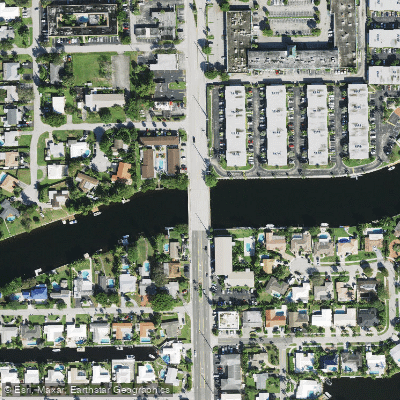
Cypress Creek Canal C-14 Bridge
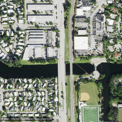
Cypress Creek Canal Bridge
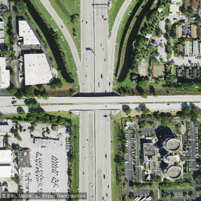
I-95sr-9 Bridge
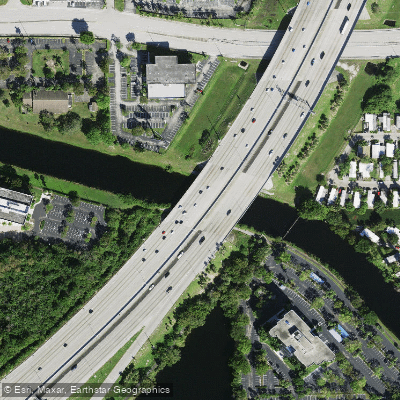
Canal C-14 Bridge
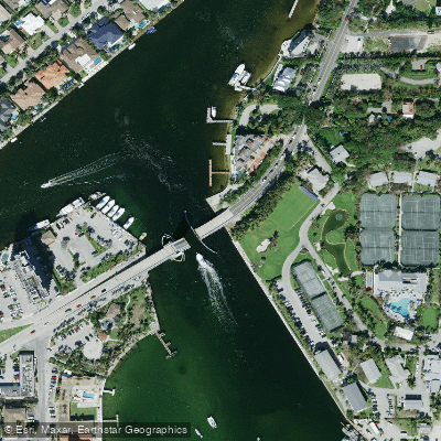
Hillsboro Inlet Bridge
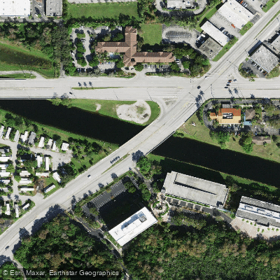
Cypress Creek Canal C-14 Bridge
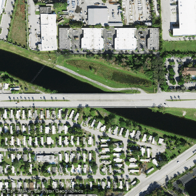
C-14 Canal Bridge
Paddle smarter with real-time insights
Whether you're en route and conditions shift or you're looking for the best spot based on current flows, we enable you to make informed decisions on the fly.








Find Places to Paddle

Over 400,000 Places to Paddle
Every user gets free access to launch points, boat ramps, and public property parcels.


Tides, wind & water conditions (10 day forecast)
On open water, wind and tide matter as much as the weather. See the best times to paddle Lettuce Lake and check the marine forecast before you launch.
Loading tide predictions…
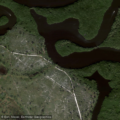
Explore Florida waters
Top paddling waters
Popular Cities
Loading popular cities...
Explore near Lettuce Lake
Access points
- Cypress Creek Canal C-14 Bridge
- Old Pompano Canal G-16 Bridge
- Cypress Ck C-14 Canal Bridge
- Cypress Creek Canal C-14 Bridge
- Cypress Creek Canal Bridge
- I-95sr-9 Bridge
- Canal C-14 Bridge
- Hillsboro Inlet Bridge
- Cypress Creek Canal C-14 Bridge
- C-14 Canal Bridge
- C-14 Canal Bridge
- North Fork Middle River Bridge
- All 24 spots
More in Florida

Smarter Paddling Starts in the App.
Paddleways gives you everything you need to plan smarter, paddle better, and own every trip from first launch to takeout.