Norris Cut
- Saltwater
- Sea area
Norris Cut
- Saltwater
- Sea area
- Sq. miles
- 0.3
- Boat Ramps
- 0
- Access Points
- 0
- Campsites
- 1
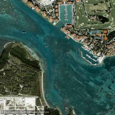
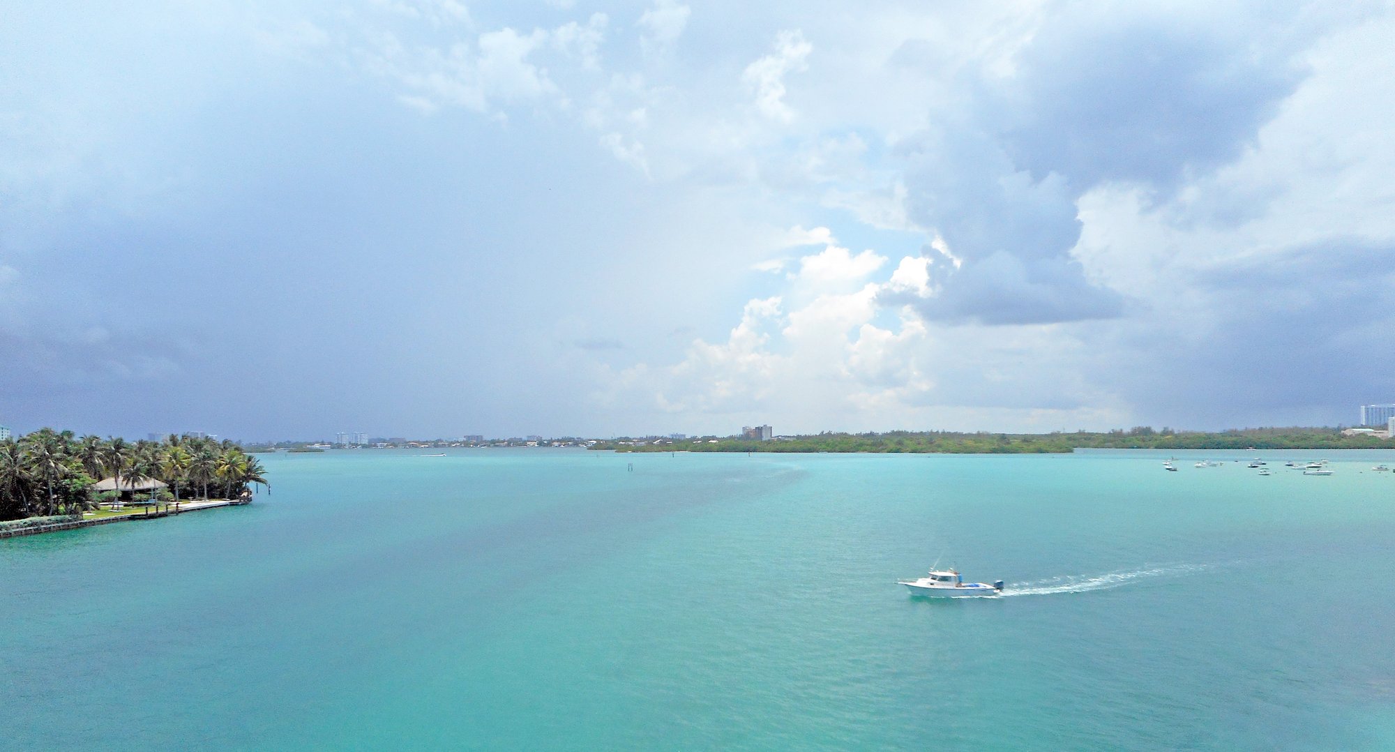
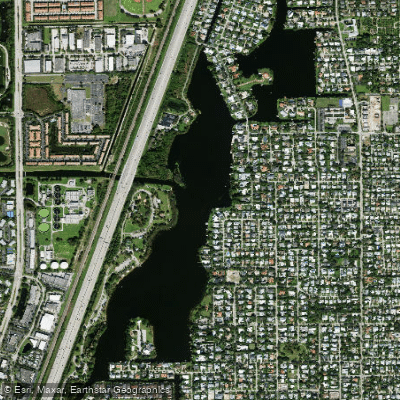
Norris Cut is a tidal channel located in Biscayne Bay, Miami-Dade County, Florida, connecting the bay to the Atlantic Ocean. It separates Virginia Key from Fisher Island. The primary public access for paddlers is via the Virginia Key Outdoor Center, which launches directly into Lamar Lake, a small, mangrove-lined bay that feeds into the Cut. This launch point provides a tranquil start before entering more open water. Paddlers can also access the area from Oleta River State Park, which is part of the Florida Circumnavigational Saltwater Paddling Trail. Norris Cut itself is an open, marine channel with exposure to the Atlantic Ocean, leading to potentially choppy conditions, especially when venturing toward the ocean. The area experiences significant boat traffic, as the channel is used by vessels accessing the Port of Miami and Fisher Island, a private island with luxury homes. Paddlers must be vigilant for larger craft, particularly when crossing or navigating the main channel. The paddling experience transitions from the sheltered waters of Lamar Lake to the expansive views of the open Cut, with the Downtown Miami skyline visible to the northwest. Wildlife sightings are common, especially early in the day, and can include West Indian manatees, bottlenose dolphins, various sea turtles, stingrays, and shark species such as nurse sharks. Bird life is abundant, with species like brown pelicans, osprey, and various herons and egrets. The area is part of a year-round manatee sanctuary, and certain zones are designated no-entry areas that are heavily monitored by law enforcement. Paddlers should be aware of tidal currents in the Cut, as low tide can expose mud flats around adjacent areas like Munyon Island. Water conditions are directly influenced by wind and weather on Biscayne Bay and the Atlantic.
Water access, boat ramps & amenities
Learn how to get on Norris Cut. Uncover great paddling access points, boat ramps, and all the facilities you need for an unforgettable day on the water. Some locations shown may border or include private property. Always check property boundaries and applicable regulations before visiting. PaddleWays's Public & Private Land layer can help you plan your access with confidence.
Paddle smarter with real-time insights
Whether you're en route and conditions shift or you're looking for the best spot based on current flows, we enable you to make informed decisions on the fly.








Find Places to Paddle

Over 400,000 Places to Paddle
Every user gets free access to launch points, boat ramps, and public property parcels.


Tides, wind & water conditions (10 day forecast)
On open water, wind and tide matter as much as the weather. See the best times to paddle Norris Cut and check the marine forecast before you launch.
Loading tide predictions…
Explore Florida waters
Top paddling waters
Popular Cities
Loading popular cities...
Explore near Norris Cut
Access points
Nearby waters
More in Florida

Smarter Paddling Starts in the App.
Paddleways gives you everything you need to plan smarter, paddle better, and own every trip from first launch to takeout.