North Fork New River
- Saltwater
- Tidal river
North Fork New River
- Saltwater
- Tidal river
- Sq. miles
- 0
- Boat Ramps
- 1
- Access Points
- 0
- Campsites
- 7
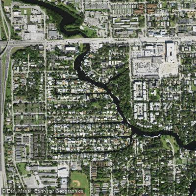
The North Fork New River is a cool, freshwater river flowing through the Blue Ridge Mountains of North Carolina. It originates at Elk Knob in Watauga County at an elevation of 4,446 feet and travels northeast through Ashe County before joining the South Fork New River to form the main stem of the New River. This confluence occurs in northern Ashe County near the Virginia state line. The river is part of a 26-mile section designated as a National Wild and Scenic River, characterized as a gentle and scenic waterway suitable for beginners and family outings. The overall paddling experience offers a cool escape with refreshing water and mountain air, flowing through a historic valley once used by Native Americans and later settled for farming.
Resources like Paddleways.com and local outfitters such as A Wahoo's Adventures and River Girl Fishing Co. provide access information and services. The river's character is gentle, making it appropriate for novice paddlers. A notable geographical feature is that the larger New River system, which this fork helps create, is one of the few major rivers in the world that flows north for its entire length. The surrounding area is a mix of farmland and growing tourism, with summer homes present. A section of the North Fork New River from the Watauga County line to Sharp Dam is a Hatchery Supported Trout Water, indicating angling activity that paddlers may share the river with.
Water access, boat ramps & amenities
Learn how to get on North Fork New River. Uncover great paddling access points, boat ramps, and all the facilities you need for an unforgettable day on the water. Some locations shown may border or include private property. Always check property boundaries and applicable regulations before visiting. PaddleWays's Public & Private Land layer can help you plan your access with confidence.
Paddle smarter with real-time insights
Whether you're en route and conditions shift or you're looking for the best spot based on current flows, we enable you to make informed decisions on the fly.








Find Places to Paddle

Over 400,000 Places to Paddle
Every user gets free access to launch points, boat ramps, and public property parcels.


Tides, wind & water conditions (10 day forecast)
On open water, wind and tide matter as much as the weather. See the best times to paddle North Fork New River and check the marine forecast before you launch.
Loading tide predictions…
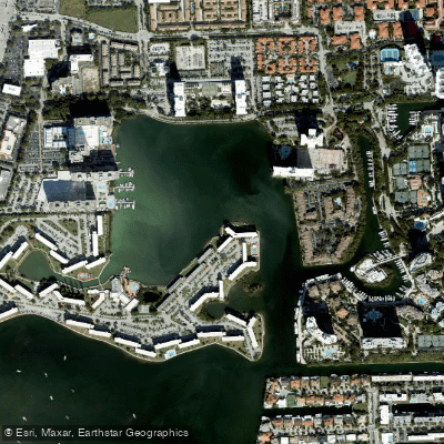
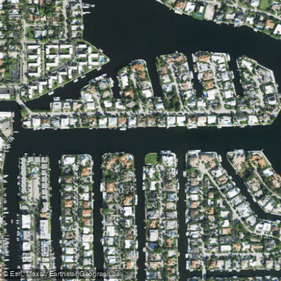
Explore Florida waters
Top paddling waters
Popular Cities
Loading popular cities...
Explore near North Fork New River
Access points
- North Fork Riverfront Park Kayak Landing
- North Fork New River Bridge
- N Fork New River Bridge
- Sb I-95sr-9 Sr-842 Rr Bridge
- Tarpon River Bridge
- New River And 5th Ave Bridge
- South Fork Of New River Bridge
- North Fork New River Bridge
- Tarpon River Bridge
- New River & New River Dr Bridge
- Canal C-12 n Fork Bridge
- New River & New Rvr Drs Bridge
- All 66 spots
Nearby waters
More in Florida

Smarter Paddling Starts in the App.
Paddleways gives you everything you need to plan smarter, paddle better, and own every trip from first launch to takeout.