Salt Lake
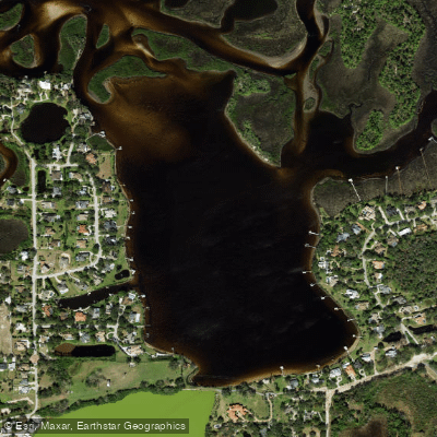
Salt Lake
- Boat Ramps
- 0
- Access Points
- 0
- Campsites
- 6
Salt Creek originates from multiple unnamed sources in central Pinellas County, Florida, and flows northeast through St. Petersburg before emptying into Tampa Bay at Bayboro Harbor. This fragmented urban waterway offers a unique paddling experience that traces the hidden hydrological heart of Florida's Sunshine City.
**Access and Navigation** The most accessible paddling begins at Bayboro Harbor near the USF St. Petersburg campus, where kayak rentals are available. Paddlers can explore upstream under the Third and Fourth Street bridges into a surprisingly wild corridor. The creek becomes navigable again at Bartlett Pond (off Twenty-Second Avenue South and Fourth Street), though launch access here is limited. The waterway is heavily culverted through much of its course, with the navigable section ending near Lake Maggiore, which was historically part of the Salt Creek estuary but is now maintained as freshwater behind a dam at MLK Street.
**Character and Hazards** Salt Creek presents a study in contrasts—industrialized waterfront gives way to dense mangrove tunnels harboring significant birdlife including wading birds and ospreys. Water quality varies considerably, with fecal bacteria levels frequently exceeding safe limits in the upper reaches. The tidal influence is blocked by infrastructure, creating stagnant conditions in some areas. Shallow depths and mangrove overgrowth make portions impassable during low water.
**Wildlife and Scenery** Despite urban degradation, the creek supports surprising biodiversity. Snook inhabit the murky waters of Bartlett Pond, and the mangrove canopy provides rookery habitat. The juxtaposition of wilderness corridors against industrial lots and residential development creates an ecologically complex, if aesthetically challenging, environment. This is emphatically not a pristine Florida paddling destination, but rather an exercise in urban ecology—revealing how cities render nature invisible while offering determined paddlers a unique voyage through forgotten waterways.
Water access, boat ramps & amenities
Learn how to get on Salt Lake. Uncover great paddling access points, boat ramps, and all the facilities you need for an unforgettable day on the water. Some locations shown may border or include private property. Always check property boundaries and applicable regulations before visiting. PaddleWays's Public & Private Land layer can help you plan your access with confidence.
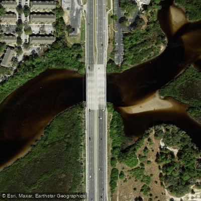
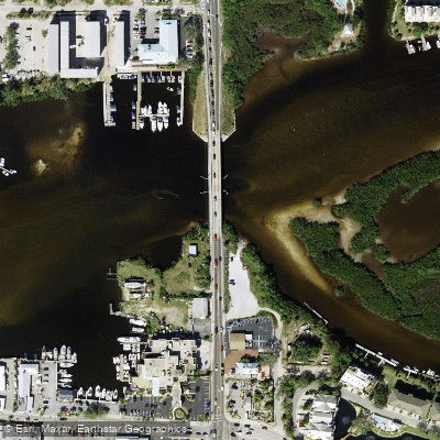
Paddle smarter with real-time insights
Whether you're en route and conditions shift or you're looking for the best spot based on current flows, we enable you to make informed decisions on the fly.








Find Places to Paddle

Over 400,000 Places to Paddle
Every user gets free access to launch points, boat ramps, and public property parcels.


Water and weather conditions (10 day forecast)
See the best times to paddle Salt Lake and check the forecast before you go.
No forecast data available.
Paddling near Salt Lake
Pithlachascotee River
Hillsborough River
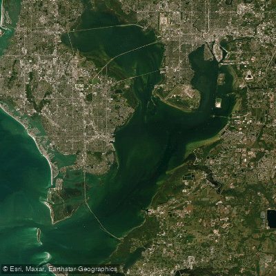
Tampa Bay
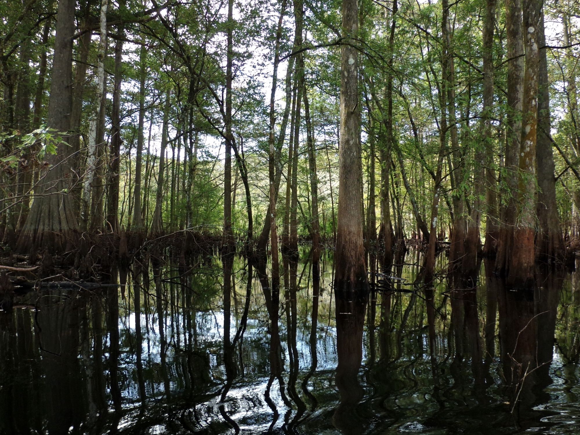
Withlacoochee River
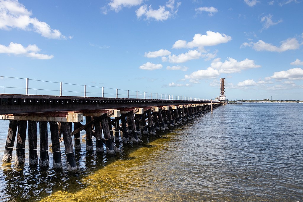
Manatee River
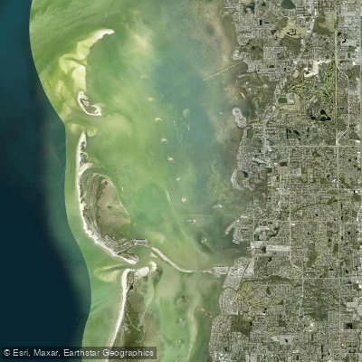
Saint Joseph Sound
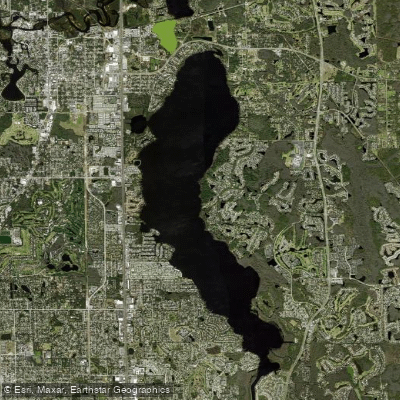
Lake Tarpon
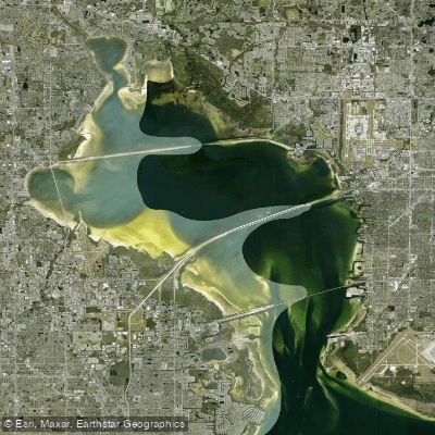
Old Tampa Bay
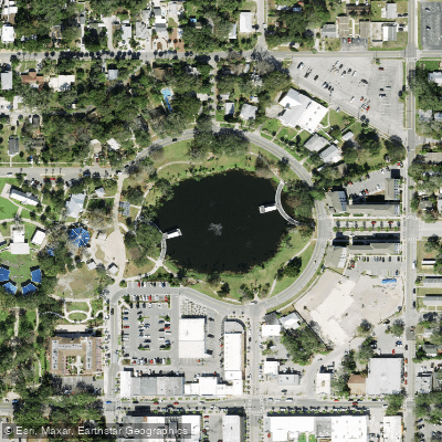
Orange Lake
Explore Florida waters
Top paddling waters
Popular Cities
Loading popular cities...
Explore near Salt Lake
Access points
- Anclote River Bridge
- Hollin Creek Bridge
- Anclote River Bridge
- Anclote River Bridge
- Anclote River Bridge
- Anclote River Bridge
- Anclote River Bridge
- Anclote River Bridge
- Pithlachascotee River Bridge
- Cypress Campground & Rv Park Campground
- Holiday Travel Park Campground
- Koa Clearwater-tarpon Springs Campground
- All 16 spots
Nearby waters
More in Florida

Smarter Paddling Starts in the App.
Paddleways gives you everything you need to plan smarter, paddle better, and own every trip from first launch to takeout.