South New River Canal
- Saltwater
- Tidal river
South New River Canal
- Saltwater
- Tidal river
- Sq. miles
- 0
- Boat Ramps
- 0
- Access Points
- 0
- Campsites
- 7
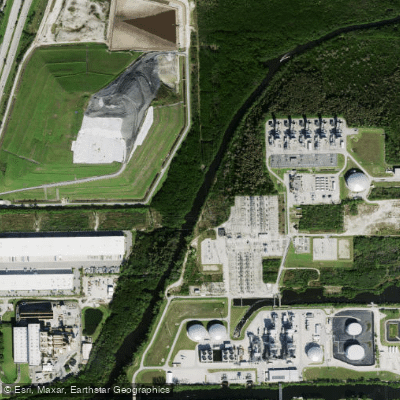
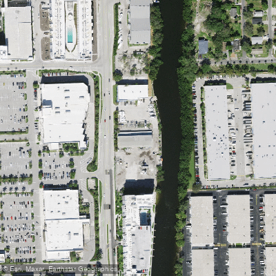
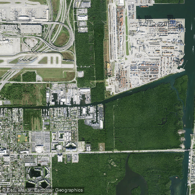
The South New River Canal is a 15.7-mile-long tidal canal in Broward County, Florida, flowing eastward from its junction with the Miami Canal to the Dania Cutoff Canal, which connects to the Intracoastal Waterway. As part of the New River tidal estuary system originating in the Everglades, it is a saltwater feature subject to tidal influence. The canal ranges from 50 to 120 feet in width and averages six feet in depth, with a stretch near 148th Avenue reaching 12 feet deep. Paddling opportunities range from short urban excursions to longer routes that can be incorporated into multi-waterway loops. A specific access point for paddlers is the South Fork Canoe Launch near Davie, Florida. The canal's character is defined by its urban setting, featuring rich shoreline vegetation, riprap areas, and residential walls. Fallen trees, canal intersections, and culverts are common features along the route. The waterway is used for drainage and small boat transportation, indicating the potential for motorized boat traffic, particularly near connections to major channels like the Miami Canal and the Intracoastal Waterway. Wildlife includes species common to southern Florida's tidal canals, such as snook and tarpon, which are present in these waters.
Water access, boat ramps & amenities
Learn how to get on South New River Canal. Uncover great paddling access points, boat ramps, and all the facilities you need for an unforgettable day on the water. Some locations shown may border or include private property. Always check property boundaries and applicable regulations before visiting. PaddleWays's Public & Private Land layer can help you plan your access with confidence.
Paddle smarter with real-time insights
Whether you're en route and conditions shift or you're looking for the best spot based on current flows, we enable you to make informed decisions on the fly.








Find Places to Paddle

Over 400,000 Places to Paddle
Every user gets free access to launch points, boat ramps, and public property parcels.


Tides, wind & water conditions (10 day forecast)
On open water, wind and tide matter as much as the weather. See the best times to paddle South New River Canal and check the marine forecast before you launch.
Loading tide predictions…
Explore Florida waters
Top paddling waters
Popular Cities
Loading popular cities...
Explore near South New River Canal
Access points
- Dania Cut Off Canal Bridge
- Sr 84 Exit Ramp To Sr 7 Bridge
- North New River Canal Bridge
- S New River Canal C-11 Bridge
- So. Fork New River Bridge
- Dania Cut Off Canal Bridge
- S New River Canal C-11 Bridge
- South New River C-11 Bridge
- Dania Cut-off Canal Bridge
- Sr-84 Wb Bridge
- C-11 Dania Cut-off Canal Bridge
- Davie Road Bridge
- All 59 spots
More in Florida

Smarter Paddling Starts in the App.
Paddleways gives you everything you need to plan smarter, paddle better, and own every trip from first launch to takeout.