Curated by PaddleWays

June 7th kayaking trip

13.2 mi flatwater route on the Chattooga River in Georgia


Map of the June 7th kayaking trip route, from Overflow Creek Take-out to Sandy Ford Access
  • Route
  • Put-in
  • Take-out
  • Hazards

Level right now

How June 7th kayaking trip is running today

Route facts

June 7th kayaking trip at a glance

Distance
13.2 mi
Paddle time
~4.5 hrs
Type
Flatwater

About this route

Paddling June 7th kayaking trip

This 13-mile flatwater river route follows the Chattooga River from Rabun County, Georgia, to the Sandy Ford Access in Oconee County, South Carolina.

Put-in and take-out

Hazards

Hazards on June 7th kayaking trip

No paddler has reported a hazard here yet, so these are the dams, falls and big rapids on our map. Hazards change with flows and storms, so check them before you launch.

  1. Big Shoals

    From our map

    Waterfall

    We have no details on this waterfall.

  2. Dicks Creek Falls

    From our map

    Waterfall

    We have no details on this waterfall.

From the community

June 7th kayaking trip trip reports

Real trips from PaddleWays paddlers who ran this route: how the flows were, and what to watch for.

Loading trip reports

  • Cara C.

    Kayak •

    not recommended if low water
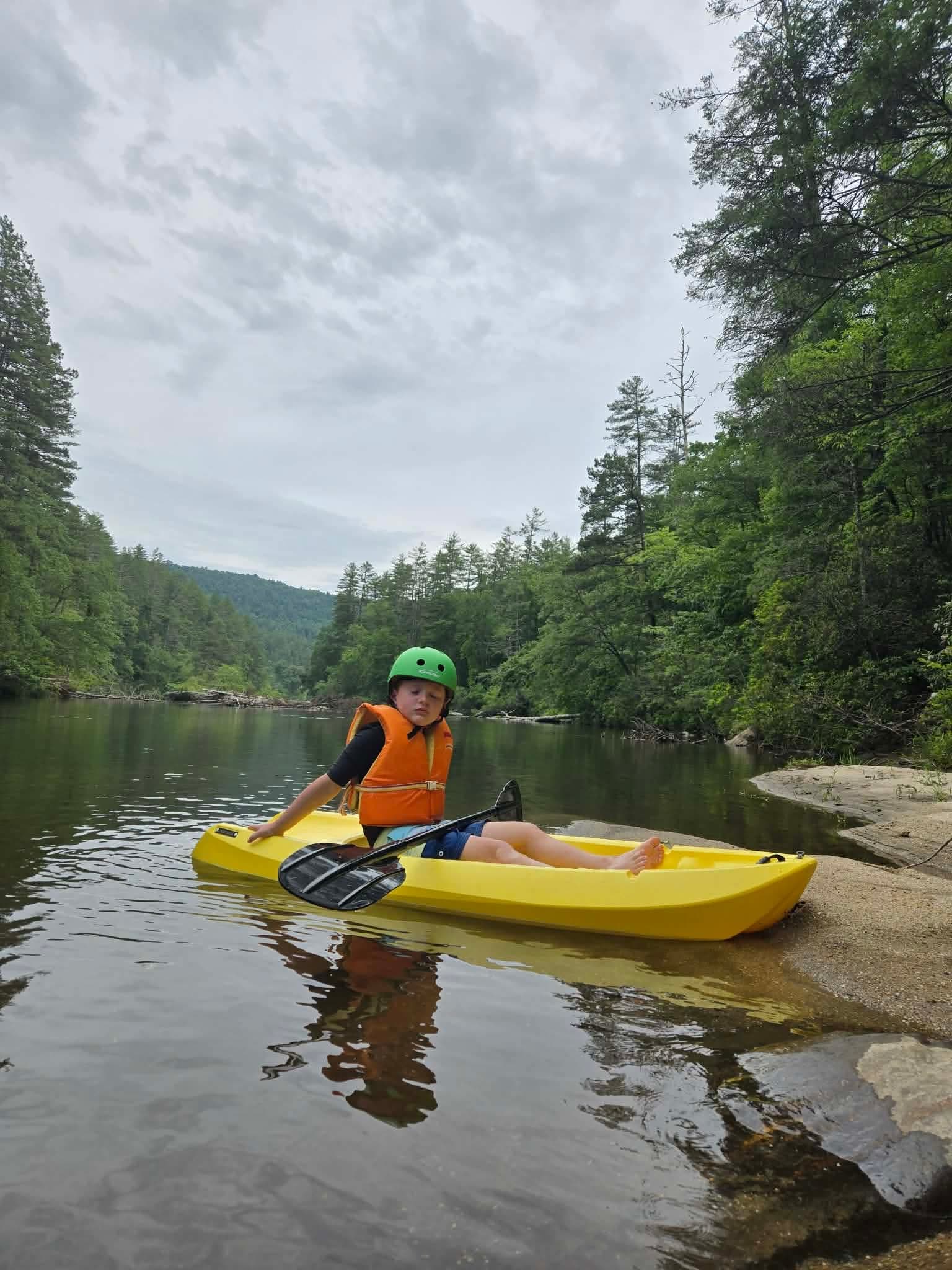
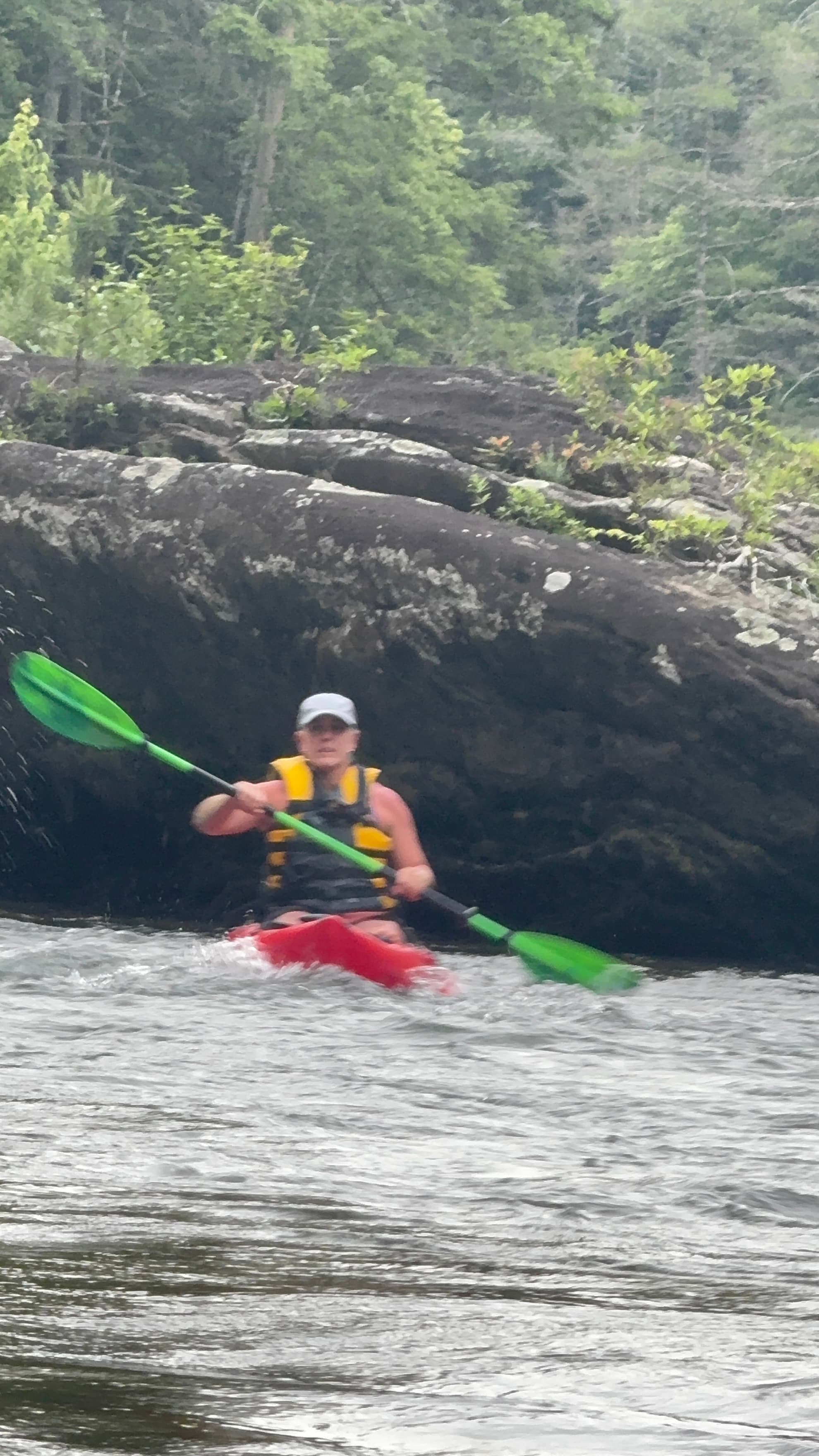
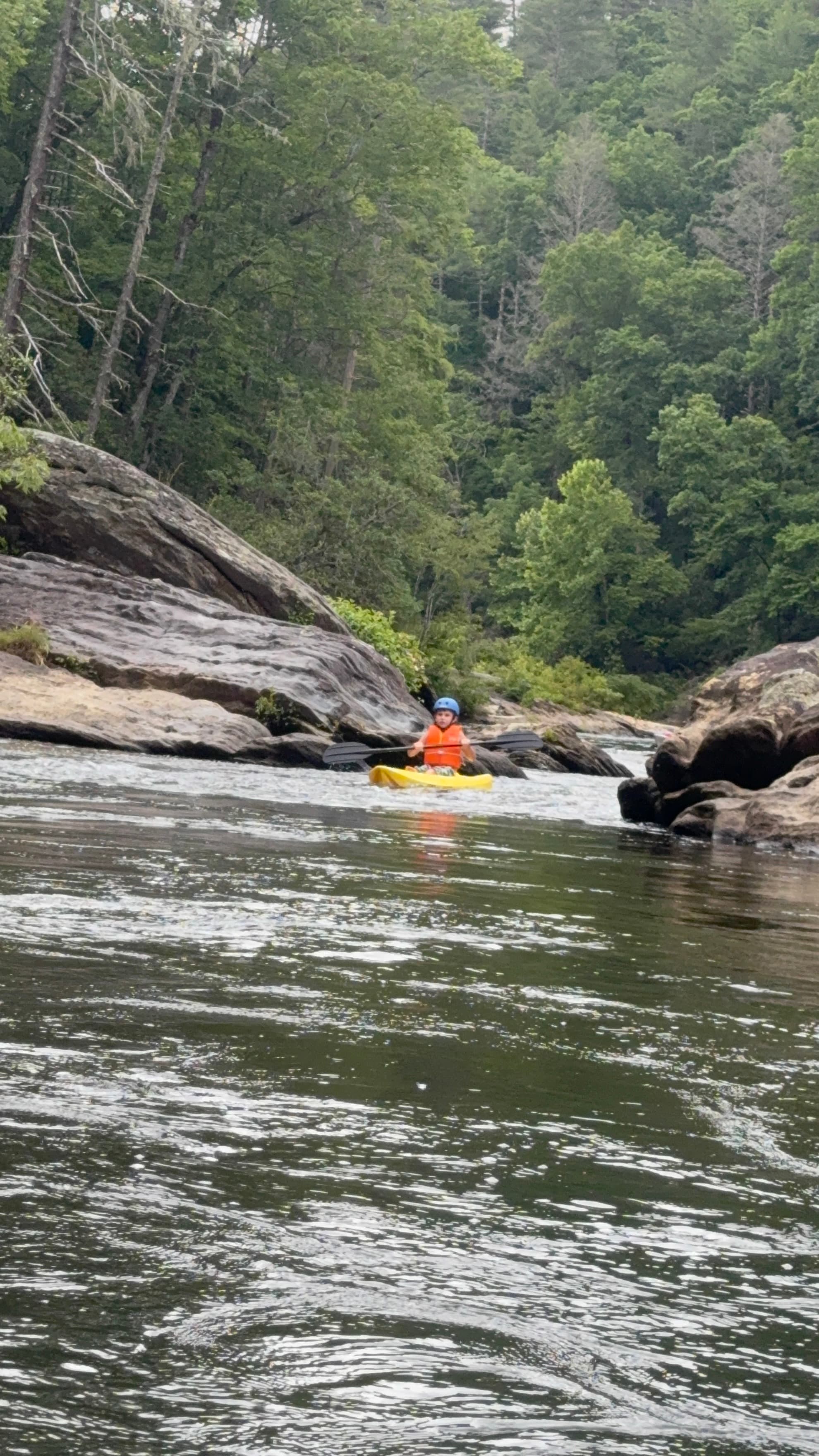
    • Photo 1 from Cara C.'s trip
    • Photo 2 from Cara C.'s trip
    • Photo 3 from Cara C.'s trip+7

Flows & weather (10 day forecast)

The gauges near June 7th kayaking trip and the forecast where it starts, so you can pick your day.

No forecast data available.

Same water

More routes on the Chattooga River

The other curated routes on the Chattooga River, each with how it is running now.

Curated by PaddleWays

RouteClass I–II

Distance
7.4 mi
Paddle time
~2.5 hrs
Best for
Kayak, canoe, tube
Put-in → take-out
Highway 28 Boat Ramp → Earls Ford Boat Ramp
Curated by PaddleWays

RouteClass III–V

Distance
5.4 mi
Paddle time
~1.5 hrs
Best for
Experienced paddlers
Put-in & take-out
Bull Pen Road Access
Potential log jams on wilderness run
Curated by PaddleWays

RouteClass IV–V

Distance
8.3 mi
Paddle time
~2 hrs
Best for
Intermediate paddlers, experienced paddlers
Put-in → take-out
Highway 76 Access → Chattooga Section IV Take-out
Five Falls drops 75 feet in short distance
Curated by PaddleWays

RouteClass II–IV

Distance
12.2 mi
Paddle time
4–6 hrs
Best for
Intermediate paddlers, experienced paddlers
Put-in → take-out
Earls Ford Boat Ramp → Highway 76 Bridge Boat Ramp
Bull Sluice, a Class IV rapid above take-out

Close by

Routes near June 7th kayaking trip

Curated routes on other waters within an hour or so, nearest first.

Curated by PaddleWays

RouteFlatwater

Distance
10.8 mi
Paddle time
~3.5 hrs
Put-in → take-out
Overflow Creek Take-out → Sandy Ford Access
Curated by PaddleWays

Route

Distance
2.9 mi
Paddle time
~0.5 hrs
Best for
Intermediate paddlers, experienced paddlers
Put-in → take-out
Verner Mill Road Access → Blackwell Bridge Access
Curated by PaddleWays

Route

Distance
9.3 mi
Paddle time
~2.5 hrs
Best for
Experienced paddlers
Put-in → take-out
Cassidy Bridge Access → Cobbs Bridge Access
Class V features along the run
Curated by PaddleWays

RouteClass II–III

Distance
4.8 mi
Paddle time
~1 hr
Best for
Intermediate paddlers
Put-in → take-out
Old Highway 441 Access → Tallulah Gorge State Park Access
Curated by PaddleWays

Lower Chauga

on Chauga River · 18 mi away

Route

Distance
6.9 mi
Paddle time
~1.5 hrs
Best for
Beginners, intermediate paddlers
Put-in → take-out
Cobbs Bridge Access → North Horseshoe Bridge Access
Curated by PaddleWays

RouteClass V

Distance
7.9 mi
Paddle time
~2 hrs
Best for
Kayak, raft
Put-in → take-out
Tallulah River Access → Jones Bridge Park at Lake Burton Access

Smarter Paddling Starts in the App.

PaddleWays gives you everything you need to plan smarter, paddle better, and own every trip from first launch to takeout.